and Chasing
[Index][Archives]
Waterspouts in Cleveland Bay, Townsville: Friday 12th September 1997
by Terry Hart
| Storm News and Chasing [Index][Archives] |
Waterspouts in Cleveland Bay, Townsville: Friday 12th September 1997 by Terry Hart |
One of the waterspouts was possibly tornadic as the cloud base from which it originated was rotating. It was a long thin funnel that extended to the water's surface (as far as I could tell). The other two waterspouts were apparently side by side & had condensation funnels that only extended part way towards the water.
Unfortunately, I couldn't get a camera fast enough to photograph the funnels. A crude drawing of what the funnels looked like is shown below. The cloud formation from which they originated was photographed soon after the funnels dissipated and is also shown.
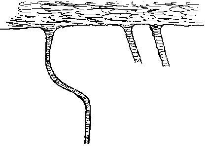 A sketch of the funnels
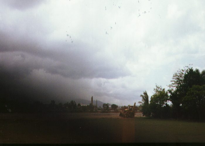
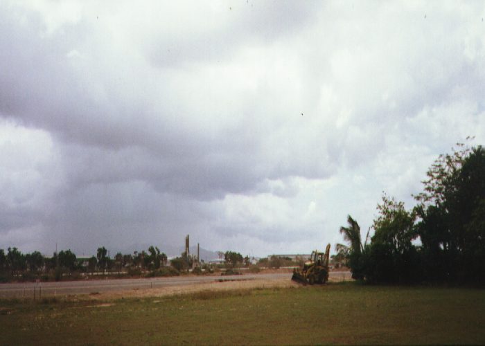 The clouds from which the funnels appeared - note the rain shaft.
Fresh to strong SE/E winds were blowing on this day & generating stream showers, several of which passed over Townsville during the morning. Around 11 am, a bank of cumulus congestus clouds were seen to be moving toward Magnetic Island which is about 8 km north of Townsville. These clouds had a dark base & moderate vertical development & were about 5 km to the north. The cumulus congestus were in the SE flow & there appeared to be some wind shear with altitude - going from SE near ground to E at the mid levels. The cloud formation had an interesting V-shaped notch on its windward side.
 Note the V-notch on the right hand side.
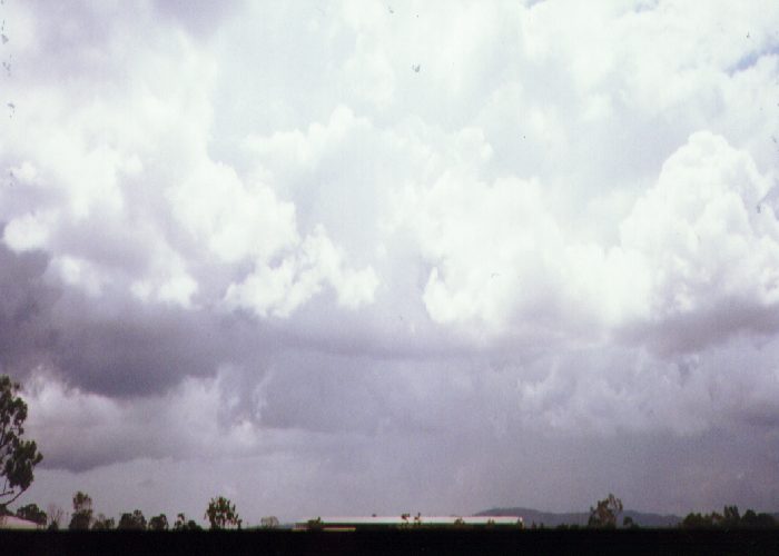 The vertical development of the cloud.
I was at the school where I work during this time & the air became cool & damp just before the waterspouts/tornado appeared. When they dissipated, rain was observed falling in the area which eyewitnesses closer to the area said was very heavy. The eyewitnesses nearer the touchdown point said that water was sprayed upwards several feet & outward.
There were no reports of damage or any reports in the local news media. The only report I received was from friends who were on a flight to Brisbane which was delayed by the appearance of the waterspouts.
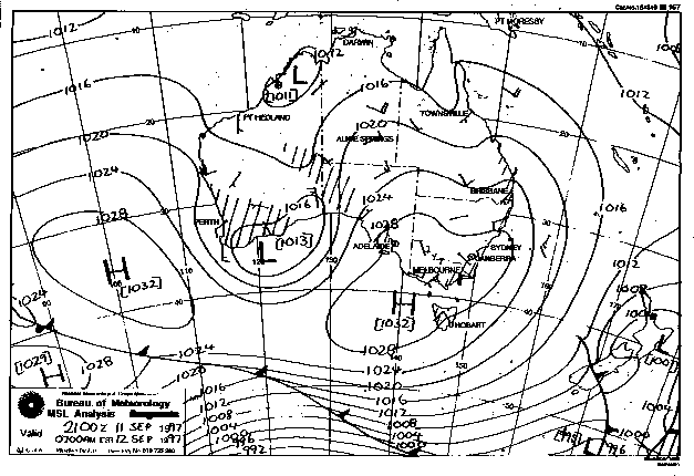
This image obtained from the Bureau of Meteorology
|
Document: 9709-04.htm
Updated: 5th May, 2005 |
[Australian Severe Weather index] [Copyright Notice] [Email Contacts] [Search This Site] |