and Chasing
[Index][Archives]
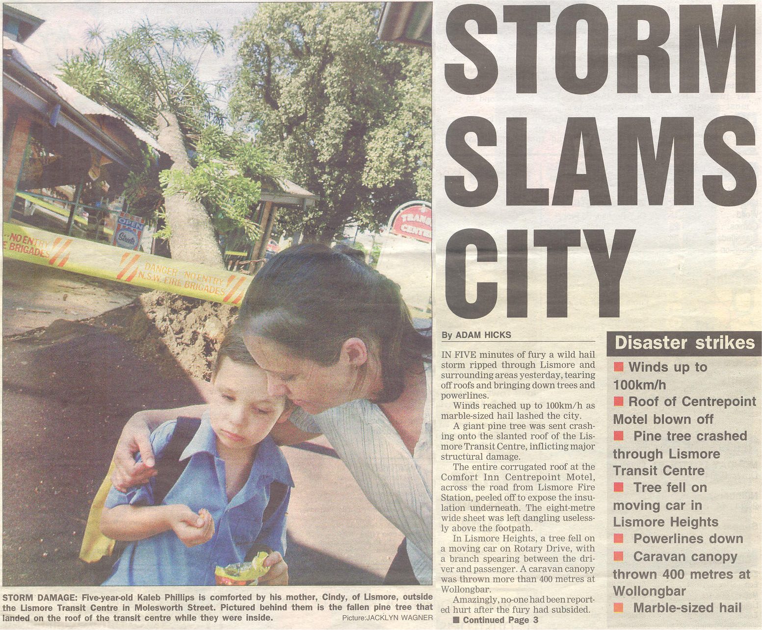
Spectacular Lismore Supercell Chase: Monday 13th December 2004
by Michael Bath and Dave Ellem
| Storm News and Chasing [Index][Archives] |
Spectacular Lismore Supercell Chase: Monday 13th December 2004 by Michael Bath and Dave Ellem |
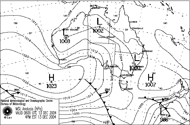
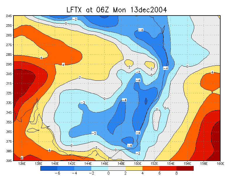
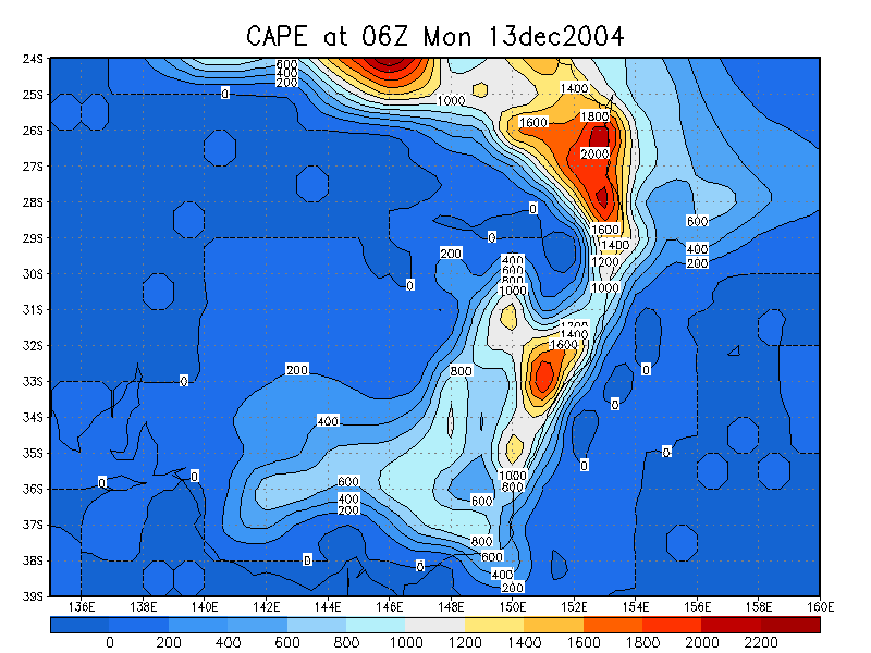
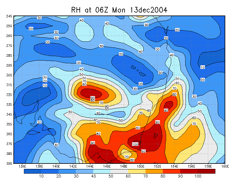
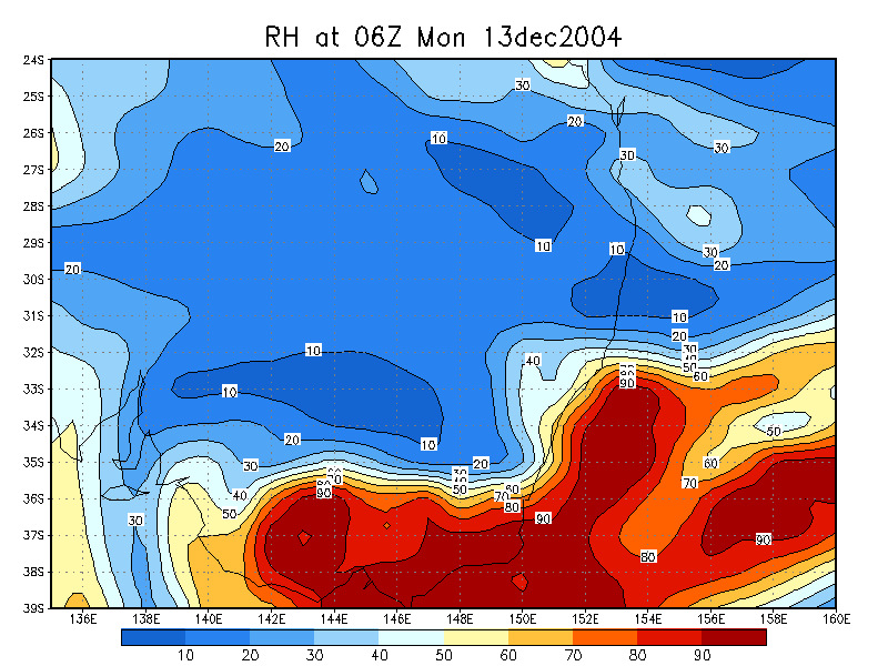
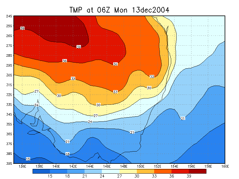
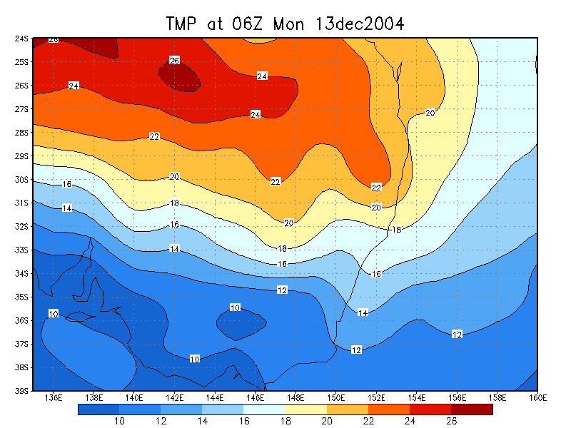
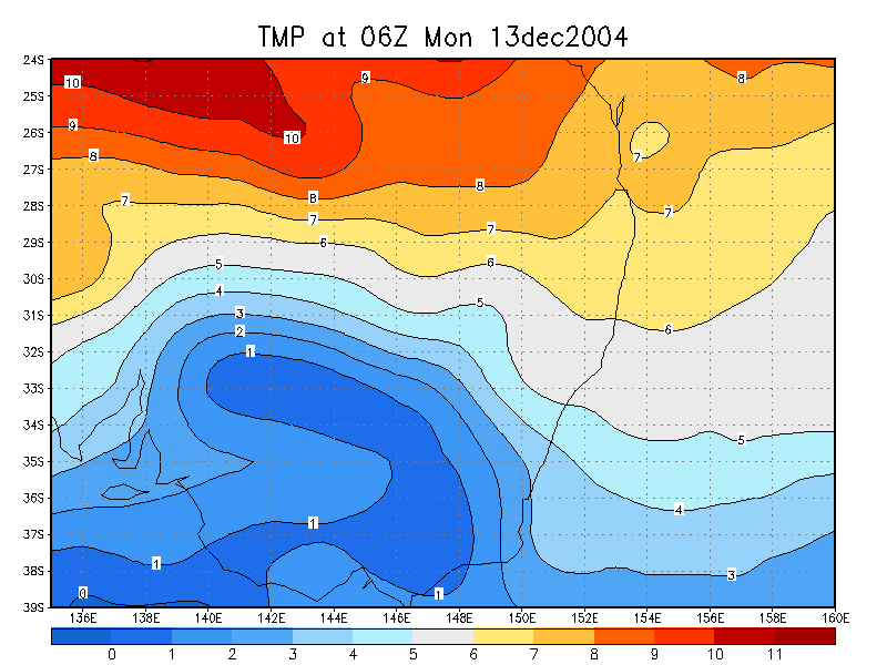
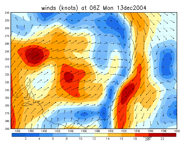
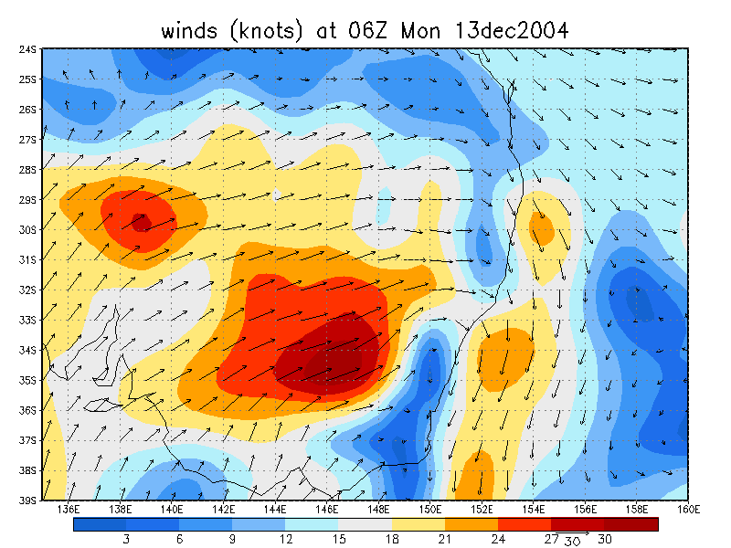
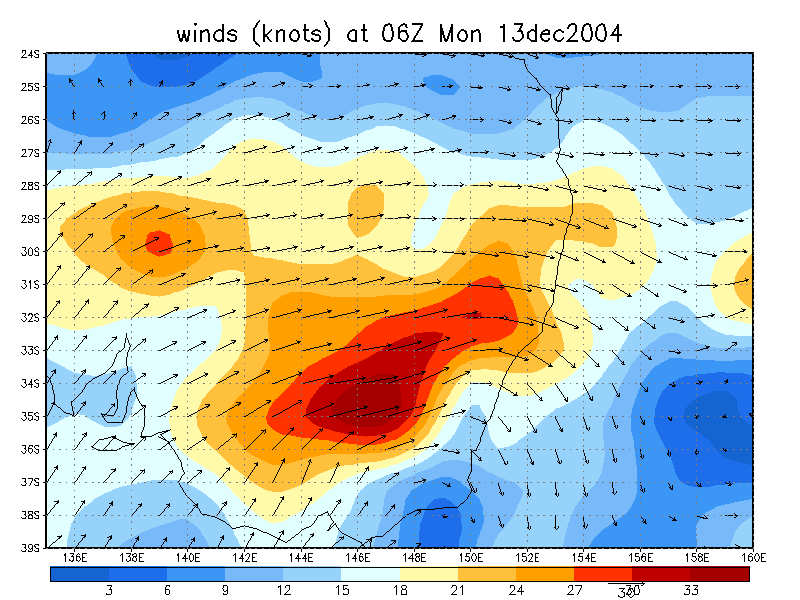
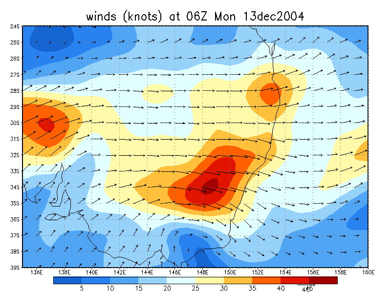
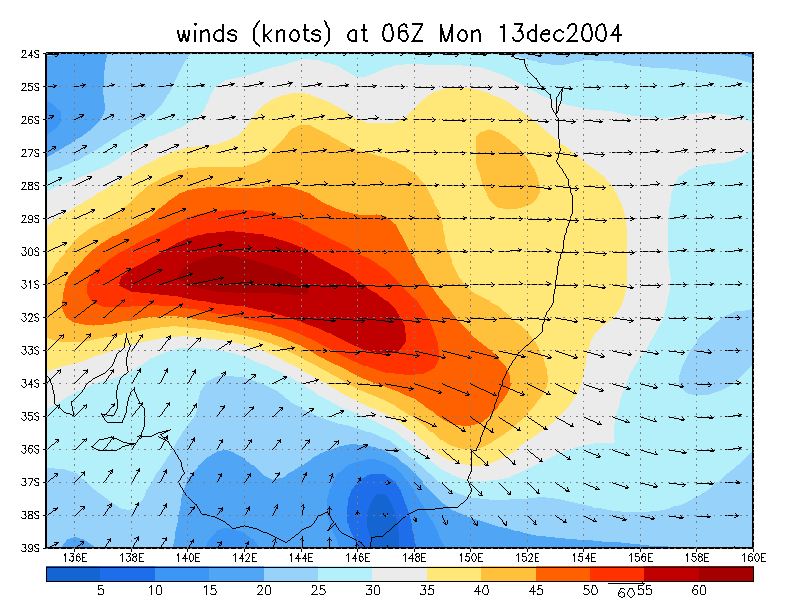
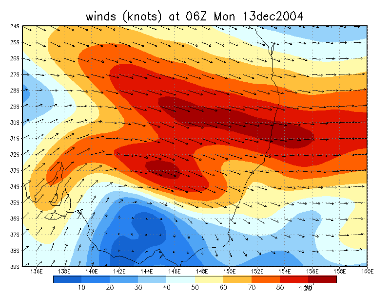
CAPE and LI was forecast to be about 1500 and -5 in the Northern Rivers this afternoon. Shear was excellent for supercells along much of the East Coast between Sydney and Brisbane: 15kts NNE at surface, 20kts NNW at 925, 25kts WNW at 850, 40kts WSW at 700 and 80kts WNW at 300. Cells would likely head ESE but stronger storms and supercells would head ENE. Worrying aspects for the day in the Northern Rivers region were the large cap at 850hPa of about 21 C, and the dry air wrapping into the region. Surface temps needed to get into the low to mid 30s for the capping to break. The surface layer was extremely moist but quite shallow with DPs around 25 most of the day, peaking at 26.7 at my home at McLeans Ridges just NE of Lismore late morning.
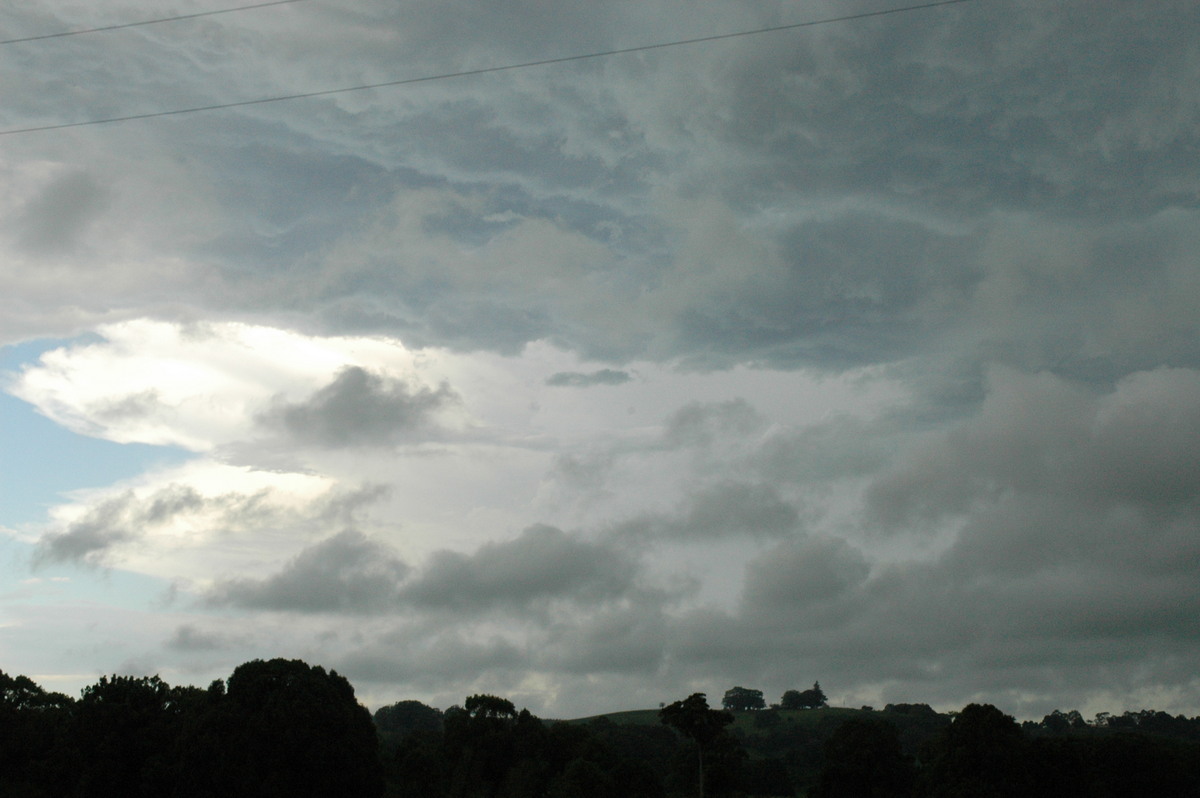
Widespread thunderstorm activity was occurring in the Greater Sydney region from early in the day and this persisted with some spectacular supercells observed later. Some early development also occurred in the Brisbane region, but the Northern Rivers remained clear until a few precipitation echoes appeared in the Dorrigo hot spot shortly after noon.
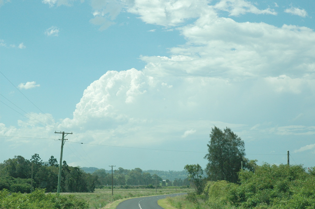
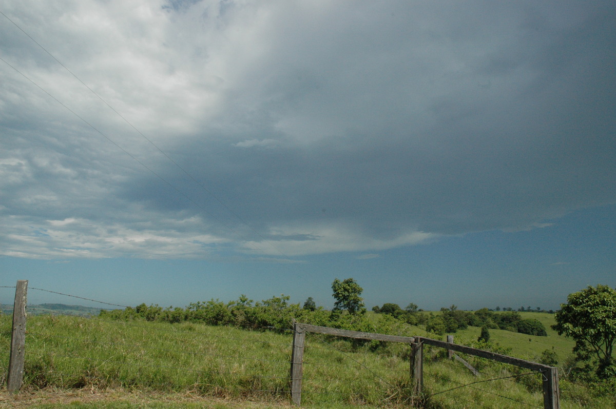
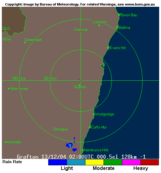
Dave Ellem and I were very keen to chase but were waiting to see if anything developed locally. The marginal nature of whether it would fire or be a bust was the main reason for not heading out to wait for any initial development. Shortly after 2pm radar revealed some possible thunderstorm development WSW of Casino. The Richmond Range must have provided enough lift to kick things off.
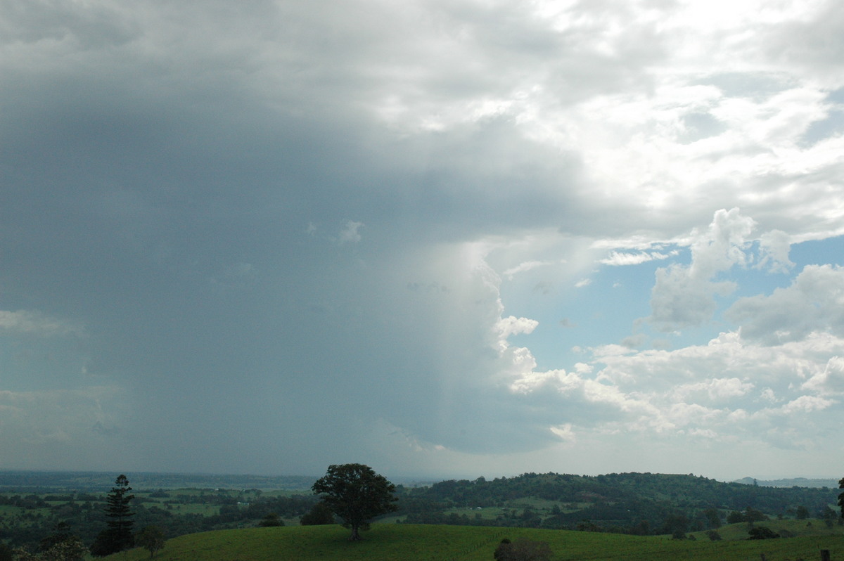
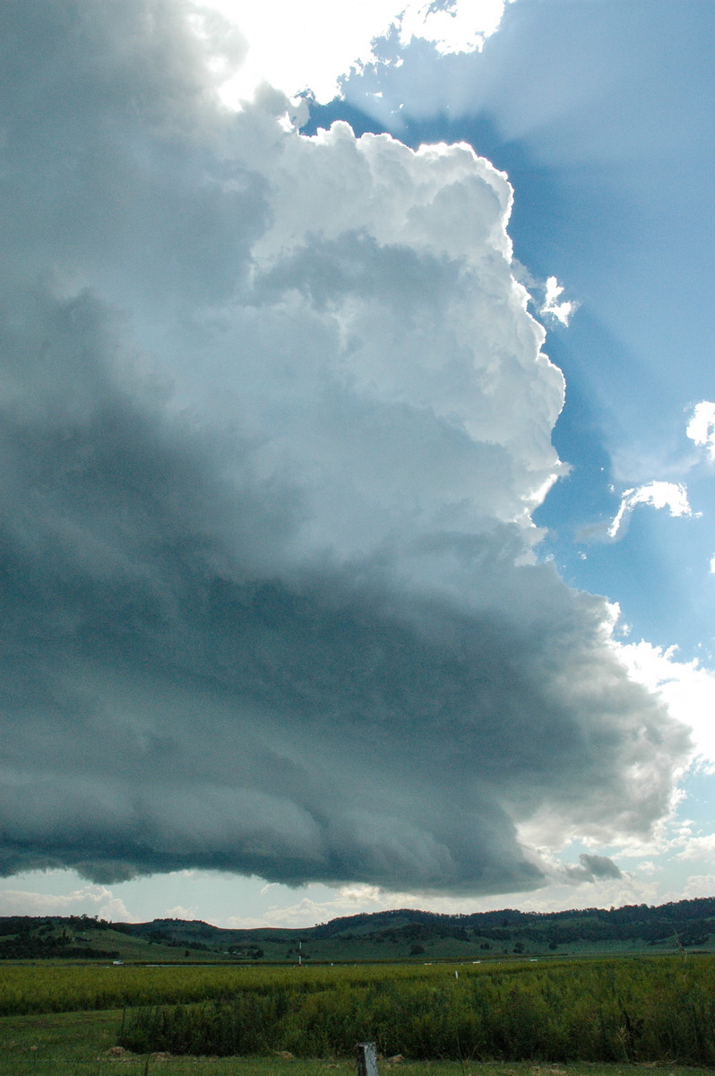
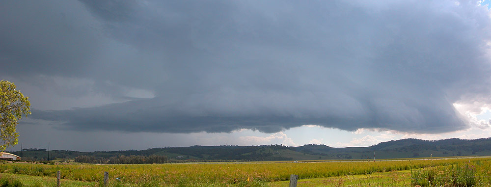
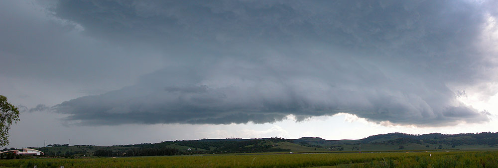
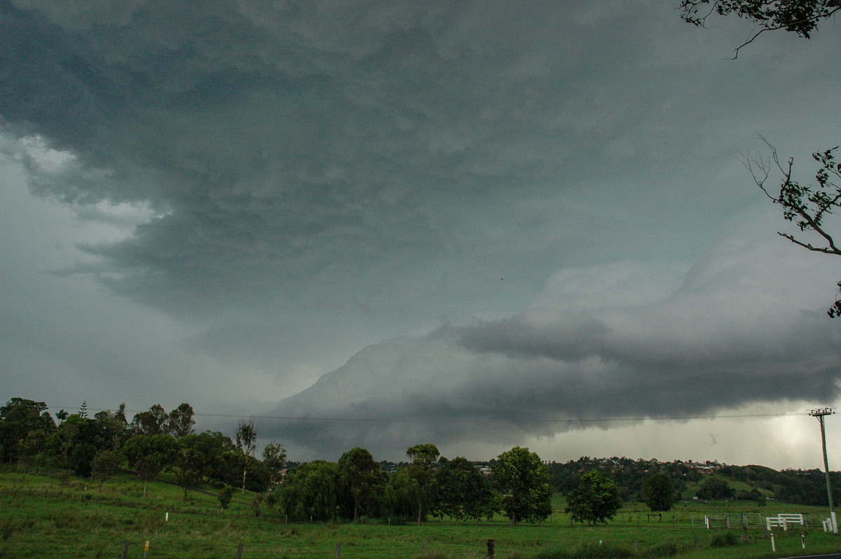
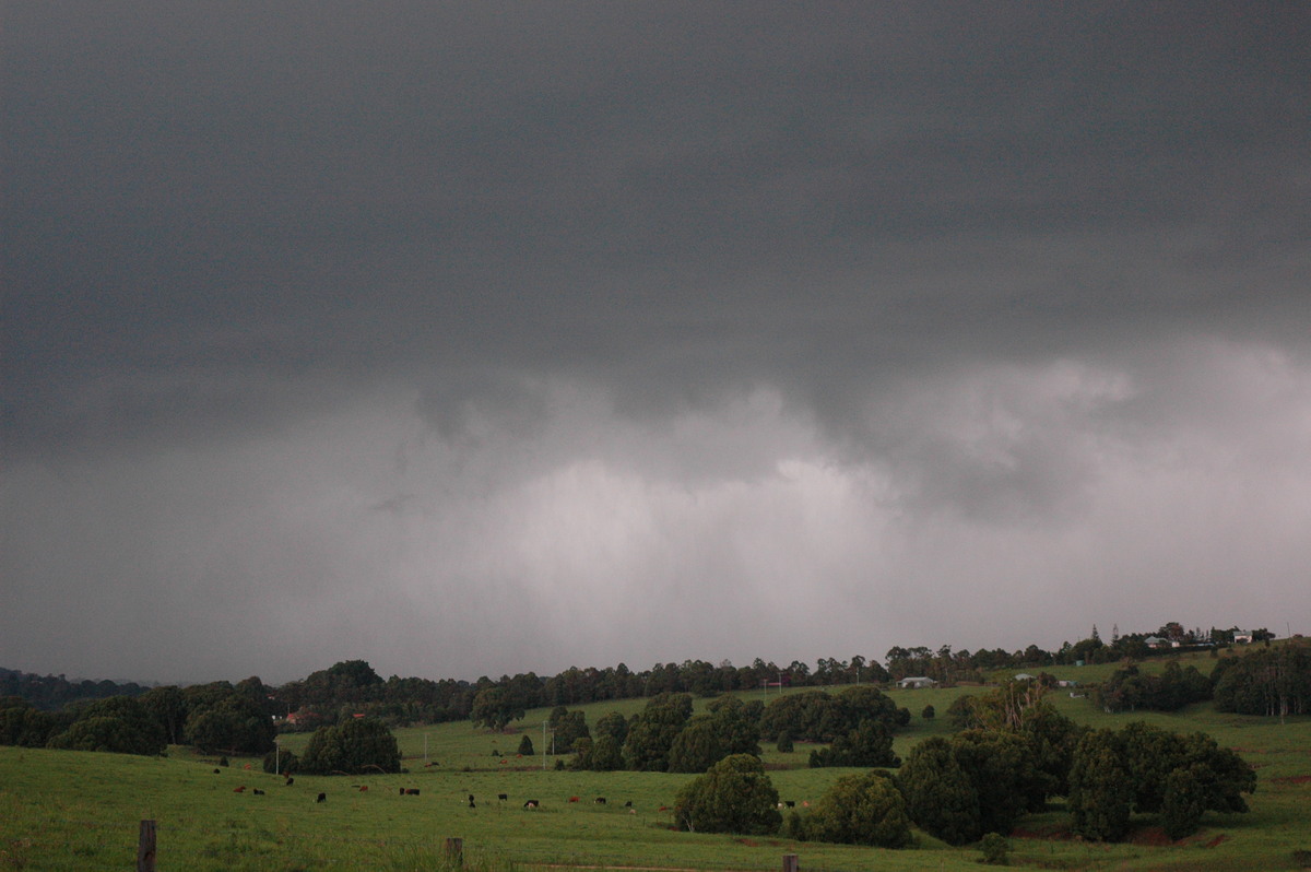
We quickly headed out with Dave driving as my car is still out of action undergoing hail repairs. We shot south to the Tregeagle area and observed the initial stages of a developing supercell just south of Casino. There was no doubt from the first full view of the storm: excellent updraft downdraft separation, a developing mesocyclone on the northern flank and powerful towers going up above.
We decided to get closer so headed to the Parrots nest lookout south of Lismore. There was no time to waste as the storm was moving quickly and we knew it was going to head ENE towards Lismore. Upon arrival the SES regional headquarters phoned to obtain advice on whether we thought severe weather was likely to affect the area. They were concerned about activity along the Queensland border crossing into the northern parts, but it was explained the Casino cell was a very dangerous event despite its small appearance on radar at this time, and the lack of any severe thunderstorm advice from the Bureau of Meteorology.
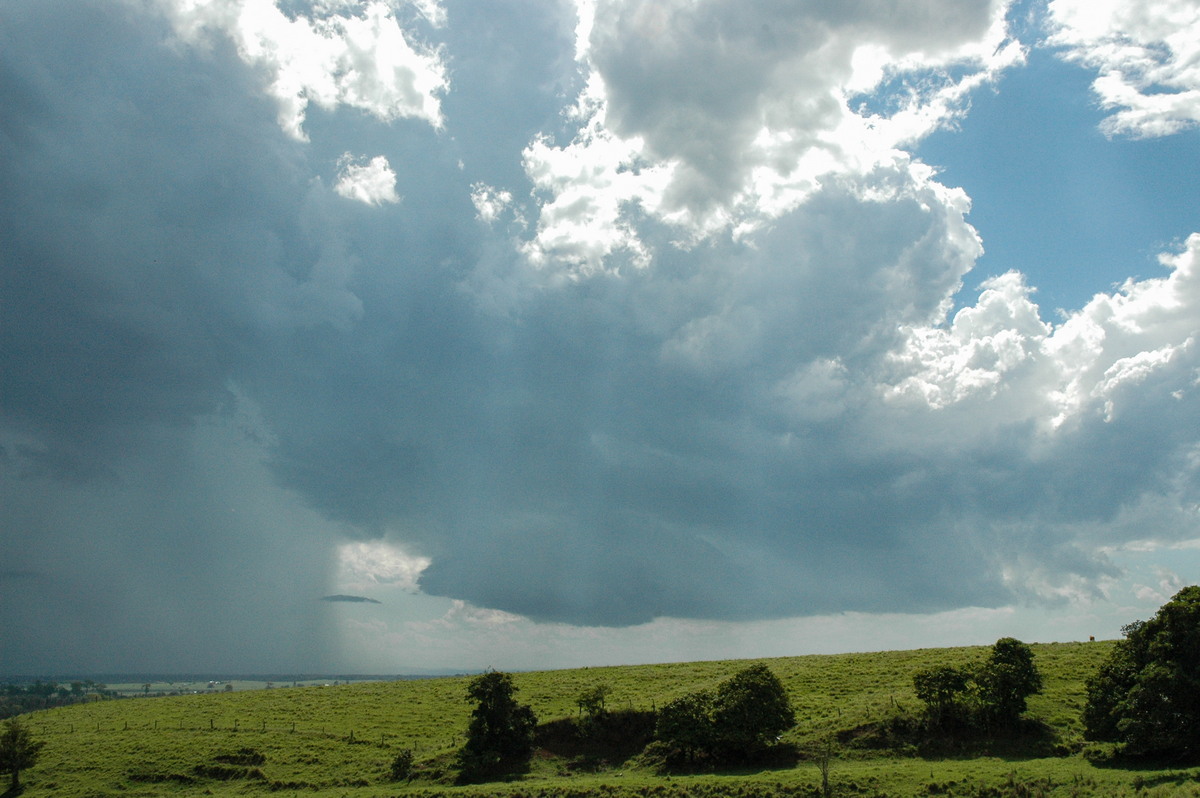
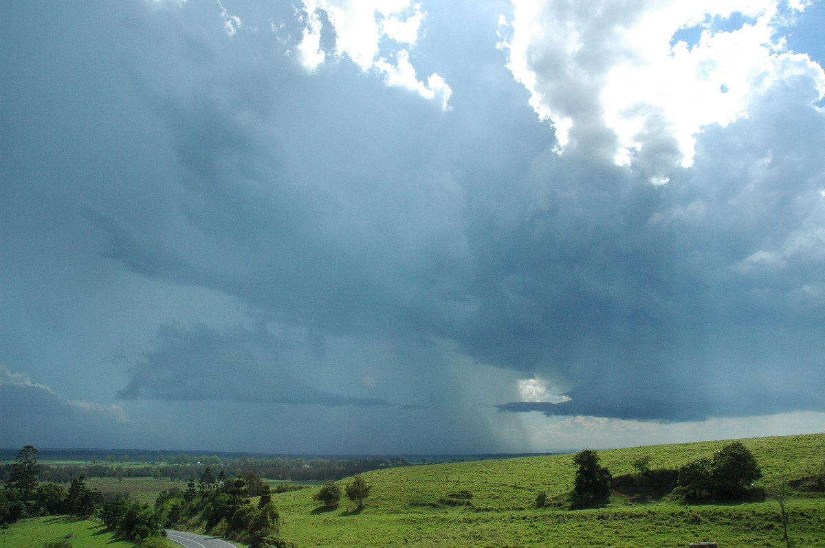
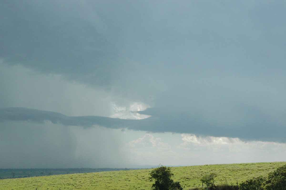
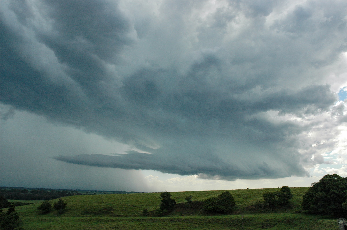
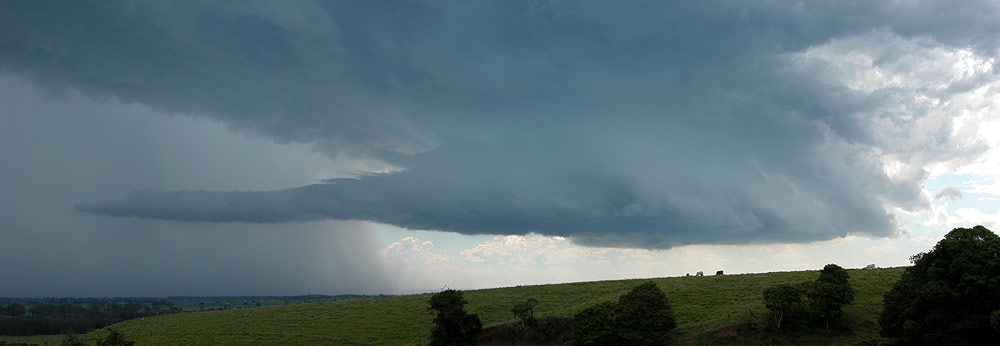
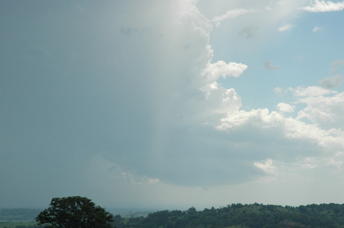
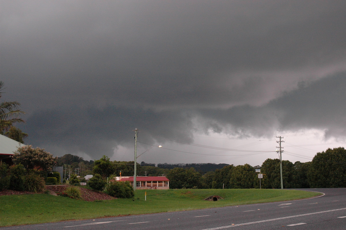
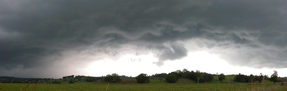
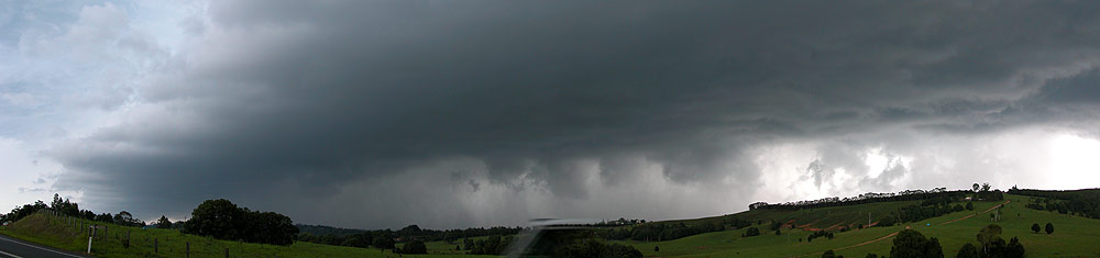
By 3.20pm the storm had a beautiful rotating "cow catcher" type updraft base on the right, and intense precipitation on the left (south). An inflow band soon formed and joined into the lower part of the meso. The storm was heading right for us and we did not want to be directly affected by it knowing that large hail and very strong winds were likely given the setup.
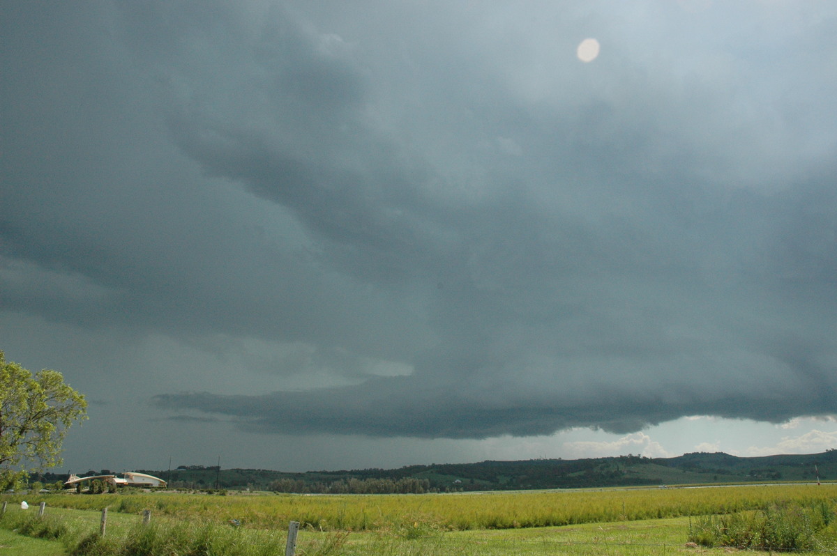
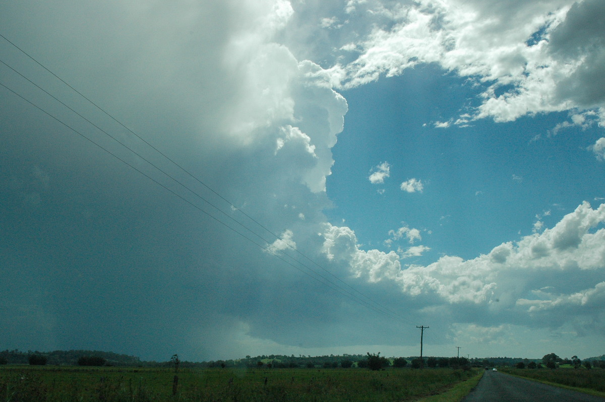
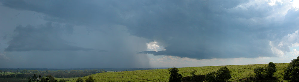
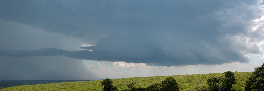
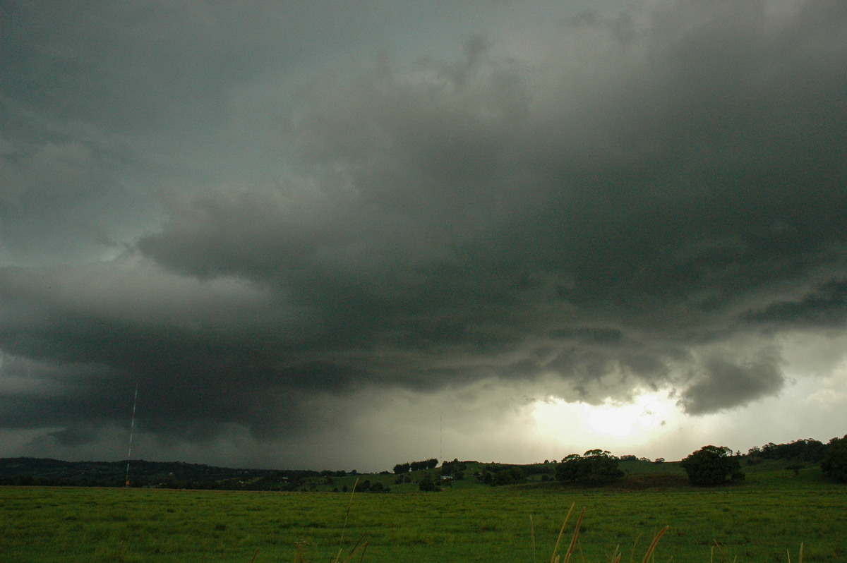
We moved north and arrived at the Lismore Airport area about 3.35pm. Massive towers had pushed up and were now overhead. CG lightning hit nearby. The structure was so awesome, particularly when the sun passed just behind the storm tops. We couldn't stay long and moved through South Lismore and out the Bangalow Road which takes an ENE route. This seemed the safest option to keep out of the storm and still observe it, but it also tracks through a lot of treed areas.
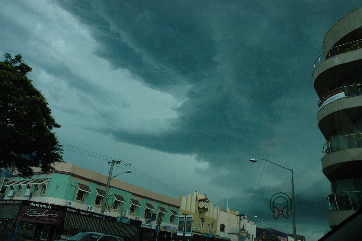
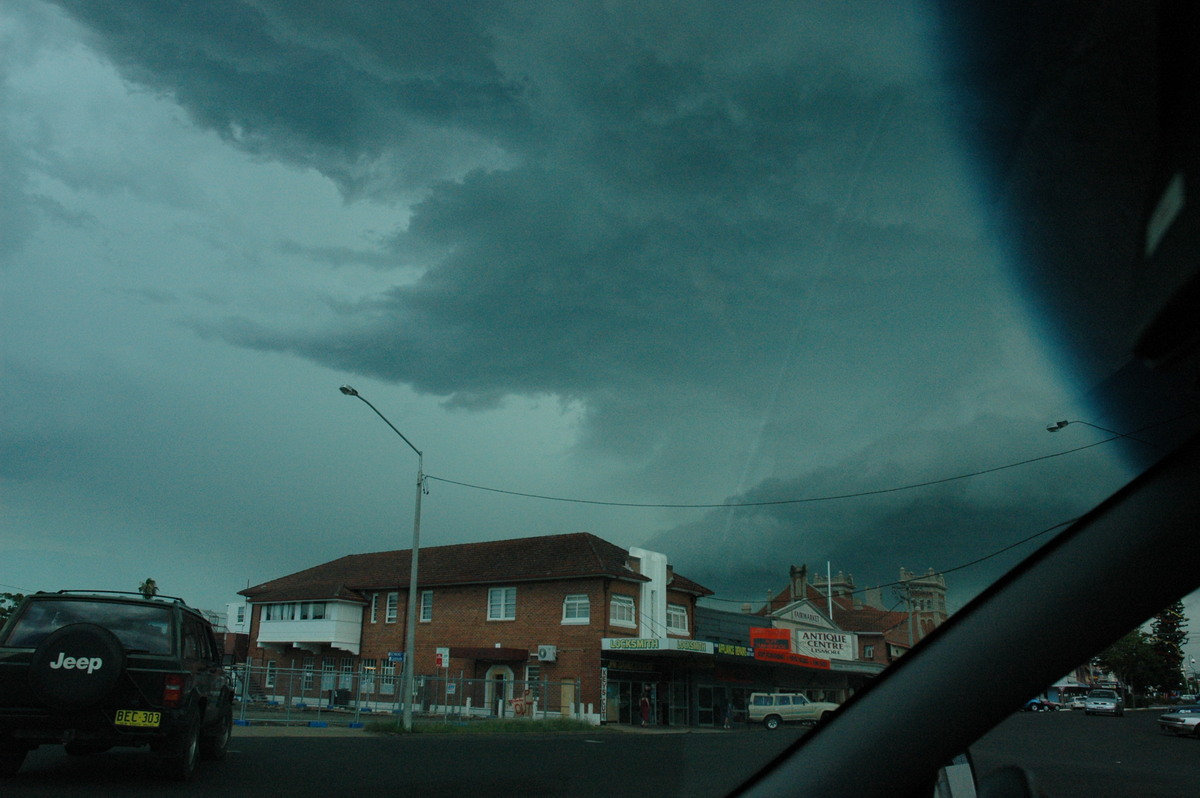
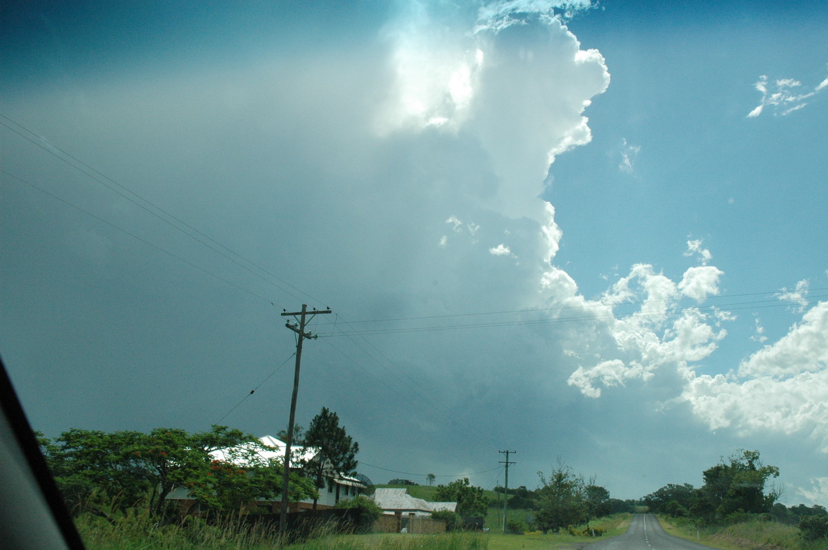
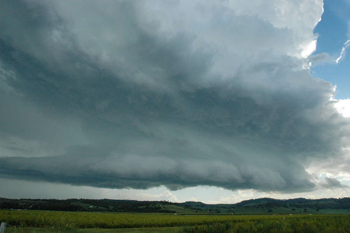
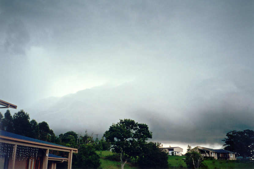
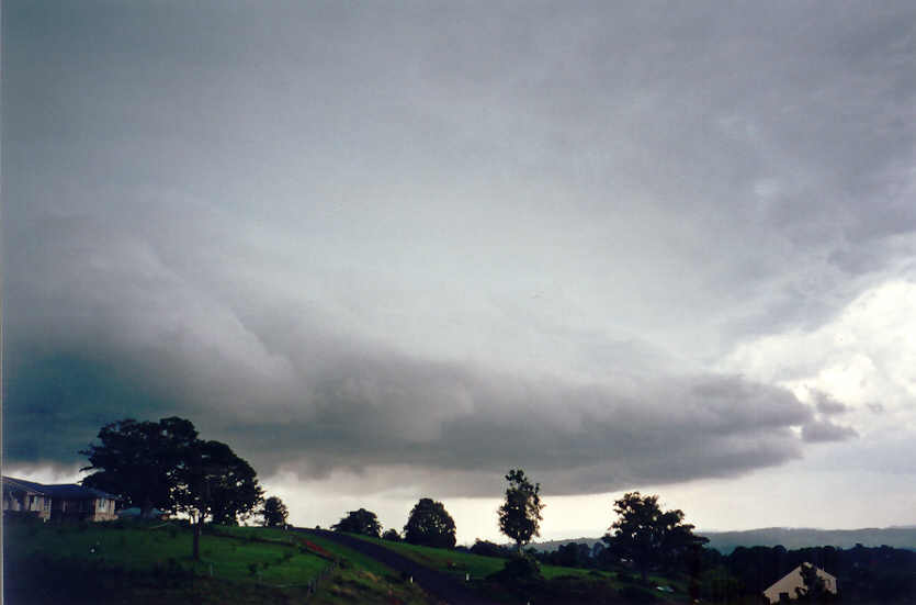
The violent storm started to affect Lismore from 3.45pm. It then tracked ENE along the Alstonville Plateau and then onto the Bangalow area. From our vantage points north and northeast of the storm we knew destruction was occurring. The base was boiling with lowerings almost on the ground, and intense microburst looking precipitation pounded the heavily populated areas between Lismore and Alstonville. An incredible flanking line was just to our south and SW. It exhibited signs of rotation many times.
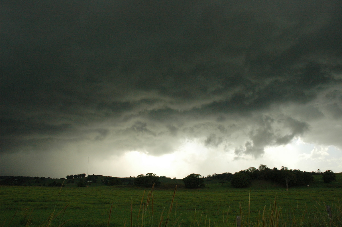
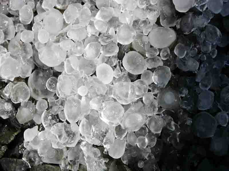
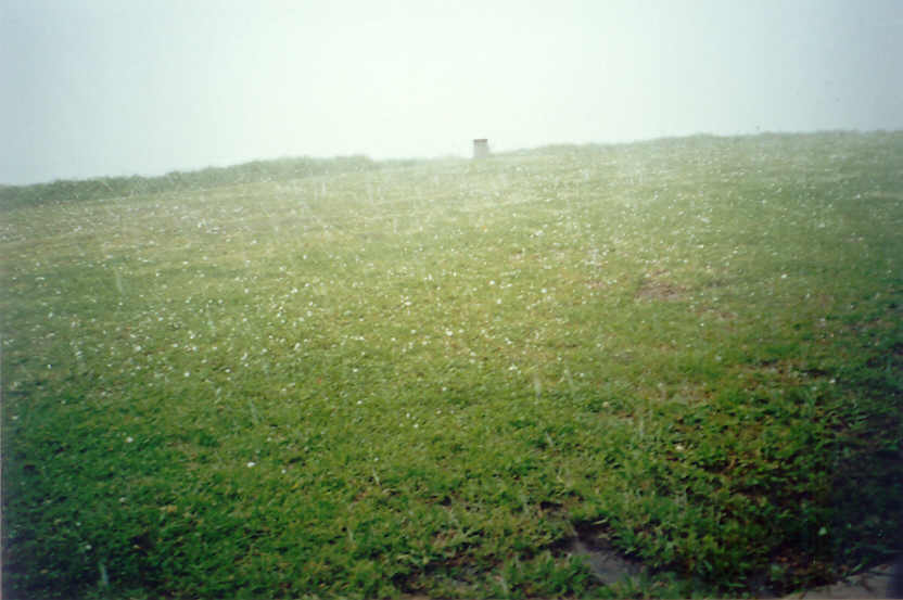
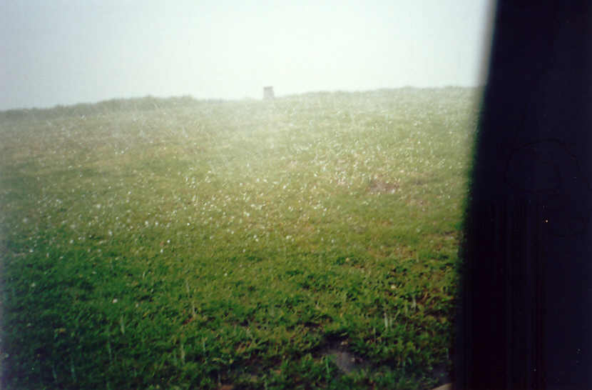
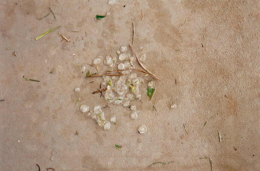
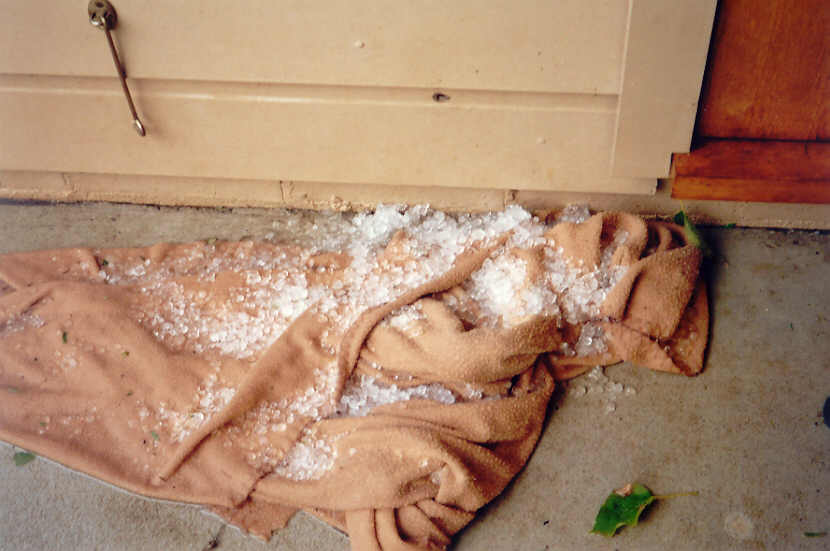
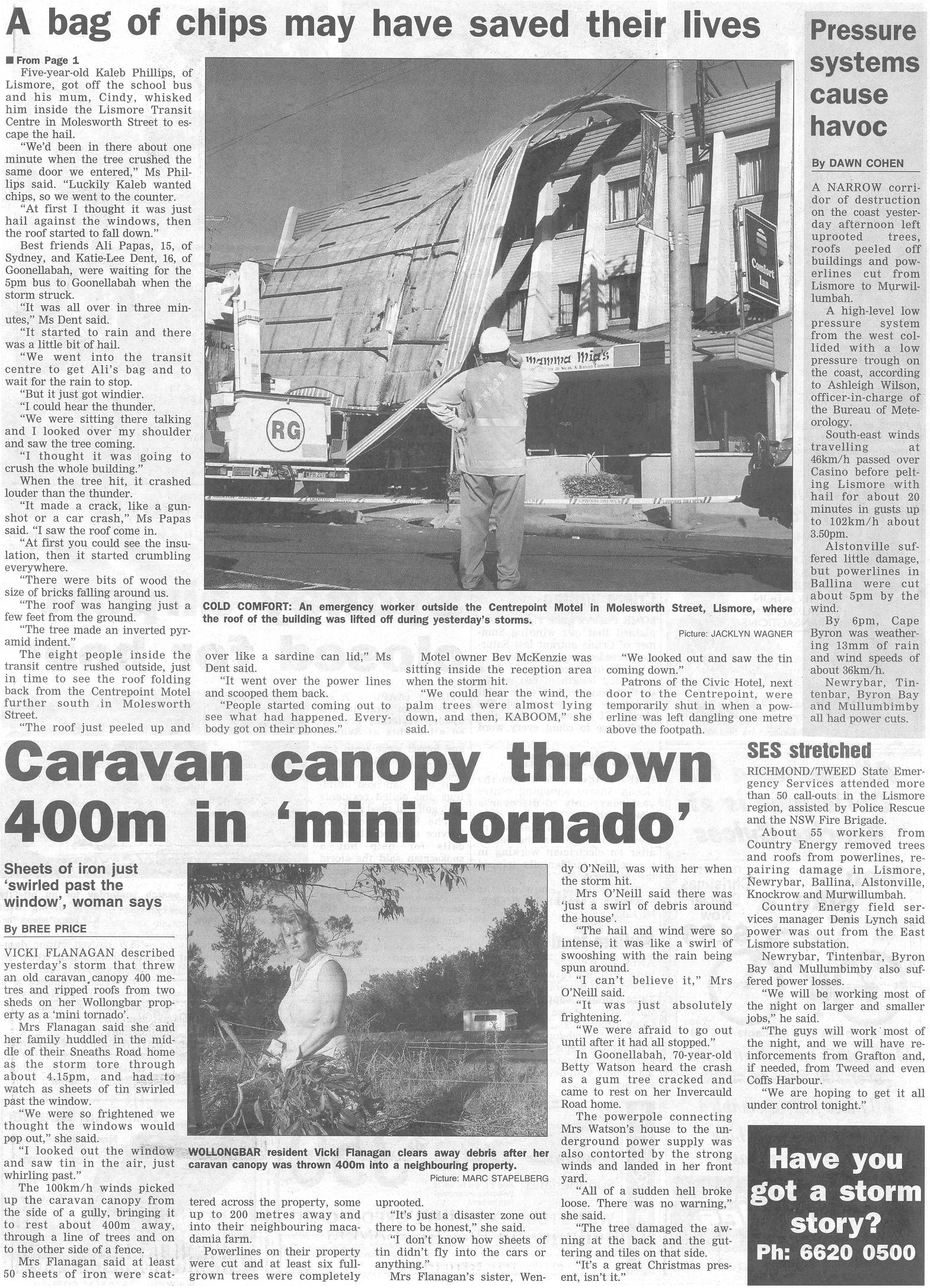
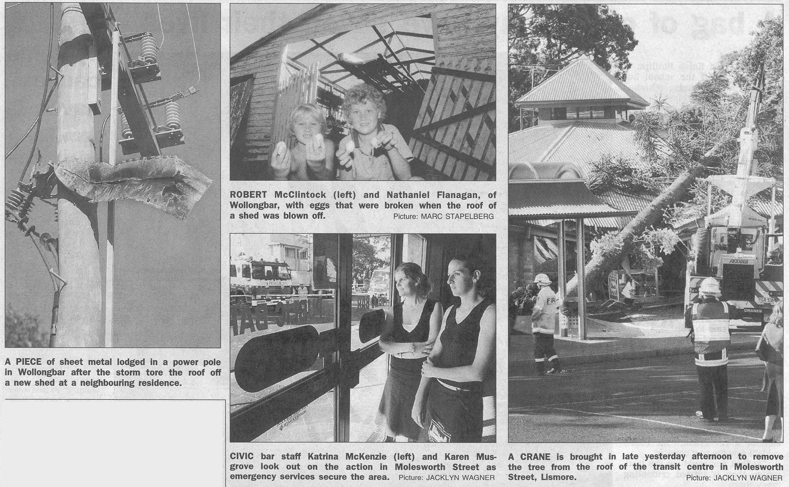
We kept heading ENE along the Eltham Road then up to Clunes across the valley from our homes at McLeans Ridges and Wollongbar. It was a bit of a worry knowing that destructive winds and hail were pounding the area. My wife phoned just after 4pm, freaked out as masses of hail 2 to 2.5cm diameter pounded the house, but the winds were the main problem, bringing down enormous trees throughout the area and cutting power.
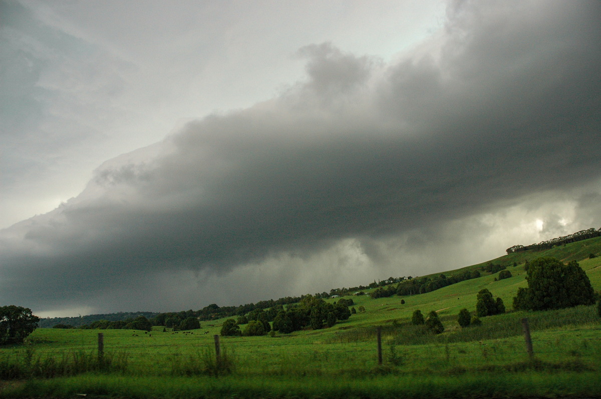
The chase continued from Clunes to Bangalow. Our target was to get to the highway underpass at Bangalow to ride out the severe weather. We got into position but the violent weather was coming to an end. Later radar inspection revealed some other weak storm activity (that we could not see) just to the WNW tracking ESE impacted on the supercell and probably led to its demise.
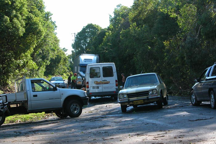
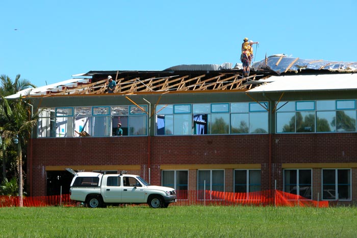
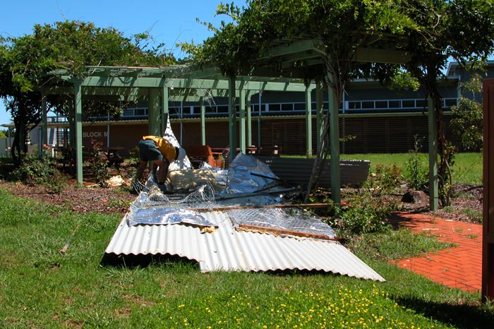
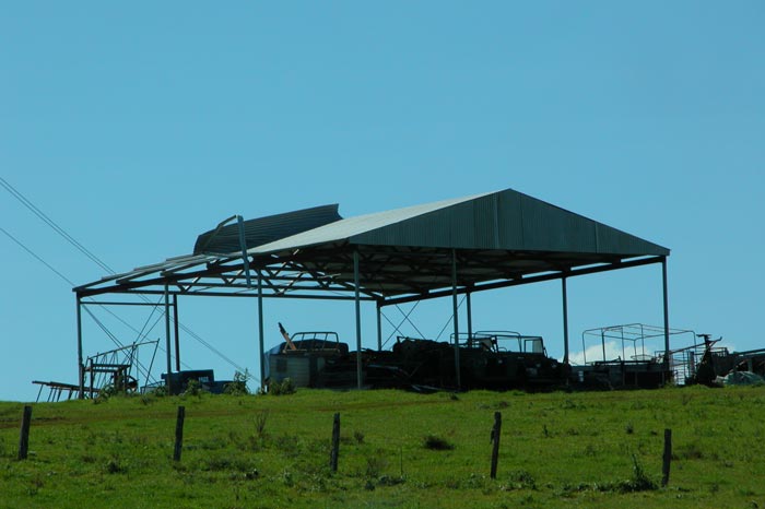
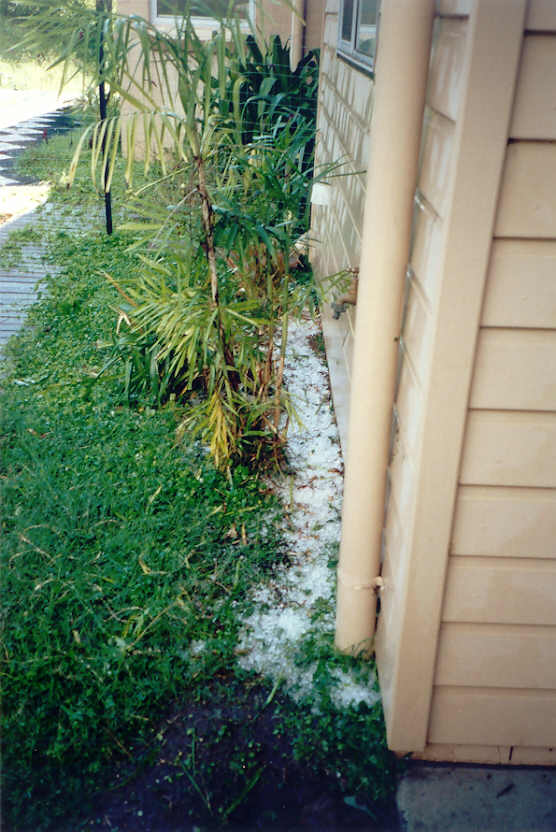
We drove home via Fernleigh, Pearces Creek, Wollongbar then on to Lismore to see the destruction. Many areas had been very badly affected by fallen and smashed trees and hail. The SES received 160 call outs, and Country Energy were kept busy well into the next day restoring power. My home was blacked out from 4pm till noon Tuesday, and Dave's until 4pm - one of the longest power outages I can recall. It was one of the most severe storms to directly affect the Lismore area in quite some time.
Additional photos
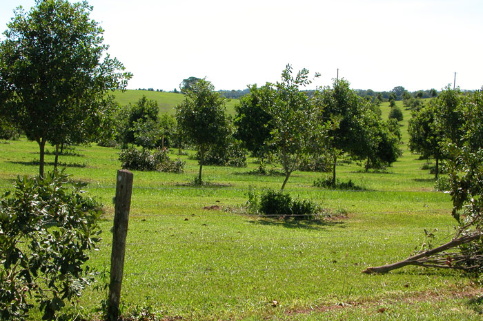
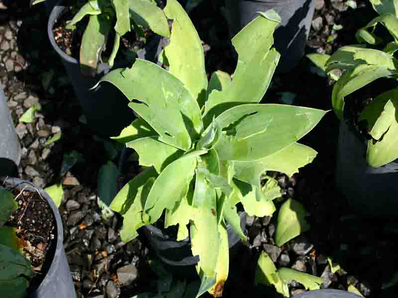
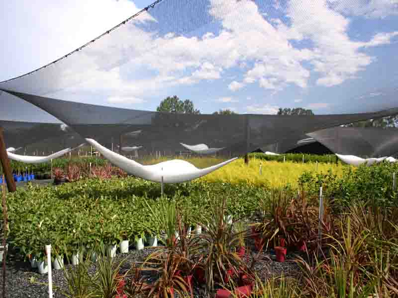
These photos by Rodney Wallbridge at Bau Farm Nursery, Alphadale:
These photos by Alison Bath at McLeans Ridges:
Observations
Lismore Airport 15:45 69km/h SE
Lismore Airport 15:46 76km/h SSW
Lismore Airport 15:50 96km/h S
Lismore Airport 15:51 102km/h SE
Lismore Airport 15:58 83km/h ESE
McLeans Ridges 16:05 74km/h S (AWS can under-measure by 50 %)
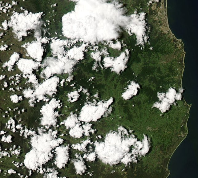
From MODIS: Land Rapid Response System:
03.40z MODIS 250m resolution image 13/12/2004 - forming supercell is the cloud in the SE part of the image
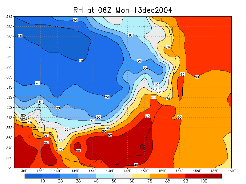
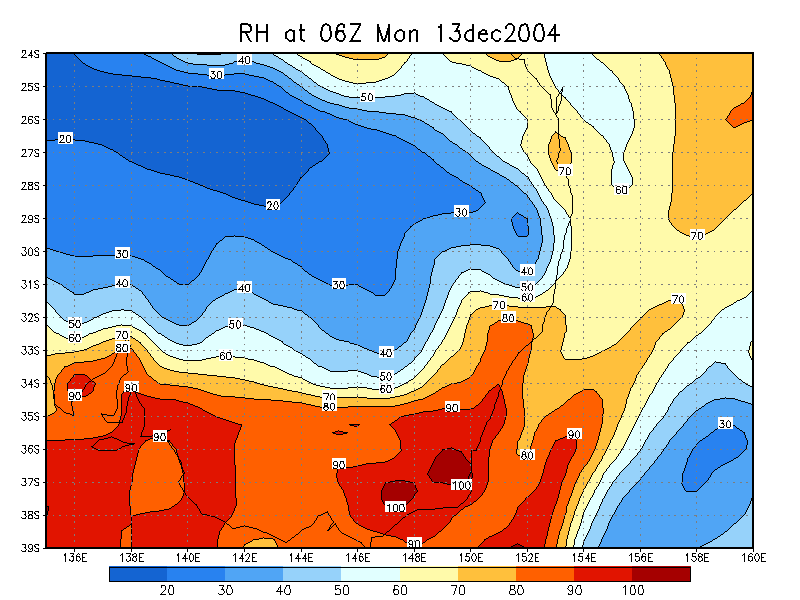
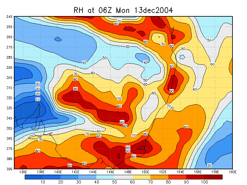
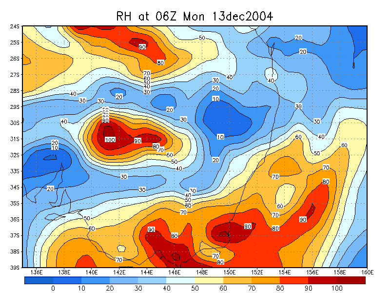
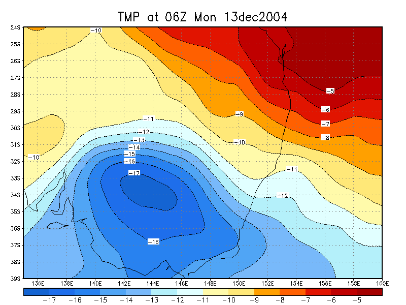
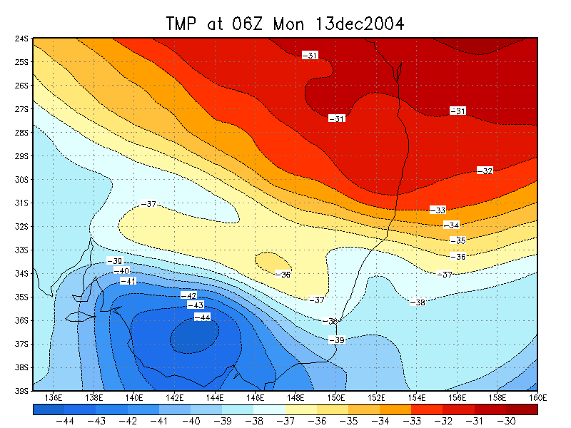
From NOAA 13/12/2004 06z analysis run
|
Document: 200412-01.htm
Updated: 1st June, 2005 |
[Australian Severe Weather index] [Copyright Notice] [Email Contacts] [Search This Site] |