and Chasing
[Index][Archives]
Severe Thunderstorms with Microbursts near Kyogle: Wednesday 29th November 2006
by Michael Bath
| Storm News and Chasing [Index][Archives] |
Severe Thunderstorms with Microbursts near Kyogle: Wednesday 29th November 2006 by Michael Bath |
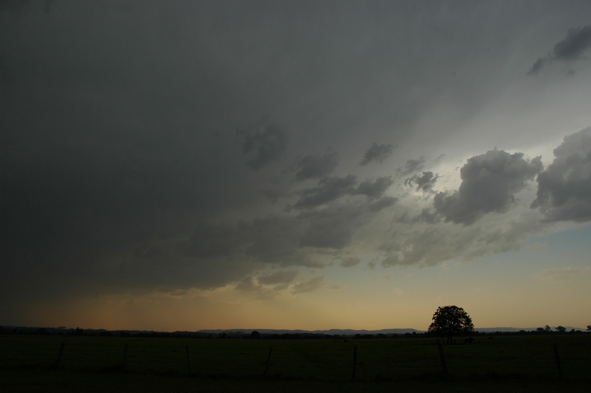
Hot and humid again with light winds. Very hazy. High based cumulus with isolated very light showers early afternoon then clear until strong storms moved in from the southwest later afternoon.
Headed off on chase about 5pm with Dave Ellem. Strong storms were evident on radar over the Northern Tablelands already and seemed like they would reach Casino sort of area just before 7pm.
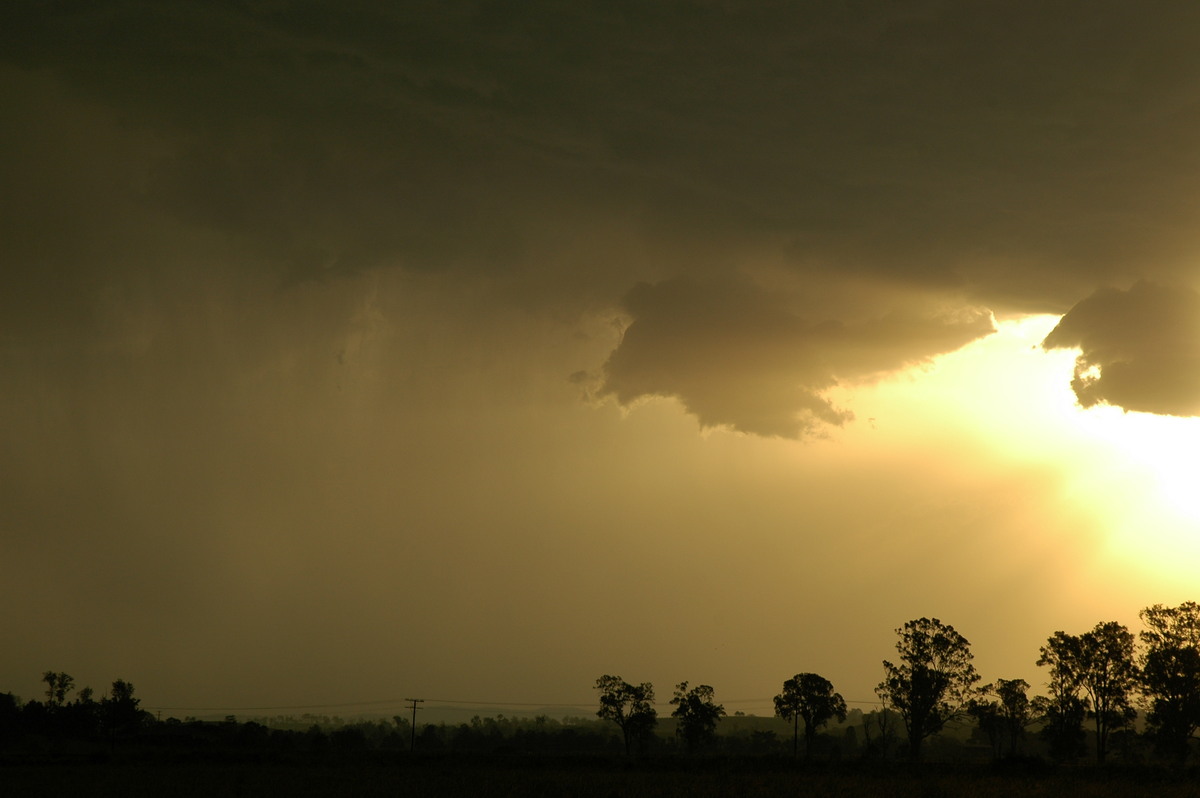
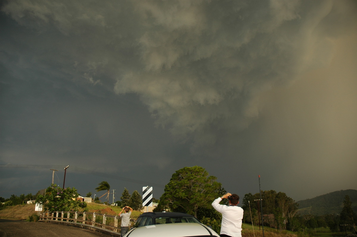
Storms were also apparent developing to the north along the border somewhere with some overshoots and backshearing. Once at the spot just NW of Casino we watched the main storm spread in. Given the hot day and afternoon, high based storms were expected and certainly were occurring.
It was surprising more CGs did not occur from this storm, although there were many powerful anvil crawlers spreading overhead towards the NE.
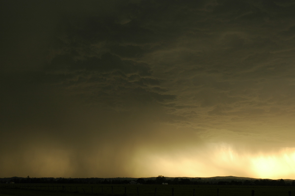
James Harris met us and we continued to observe here till about 6.30pm. The rain and lightning was too close for comfort now so we shot north. A barrage of CGs occurred east of where we were in new development along the line - most likely where the convergence of hot humid northeasters was meeting the southerly change.
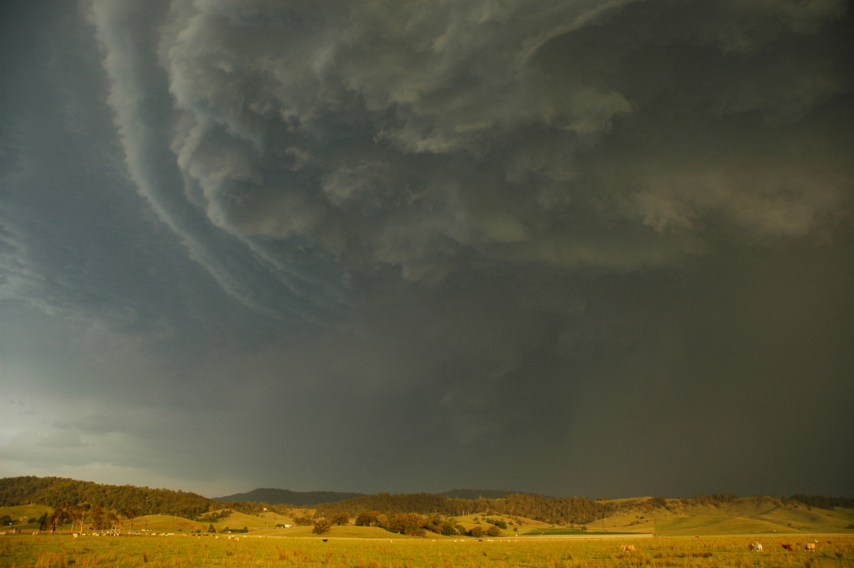
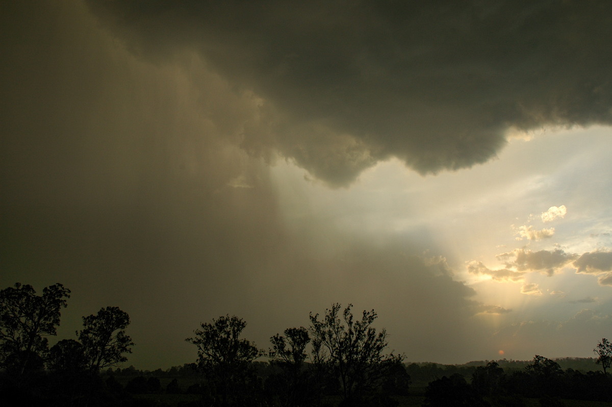
The scene was very dramatic near Kyogle with some interesting structure just to our east and the new updraft base just to the southwest.
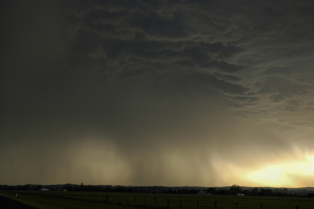
Moving north through town we kept just ahead of the severe weather.
Microbursts spread so fast towards the north we could not keep out of it, despite heading off before it had hit our immediate location. Branches were coming off the trees and bursts of heavy swirling rain hit on and off all the way to just north of Wiangaree. So severe weather for about 15ks !
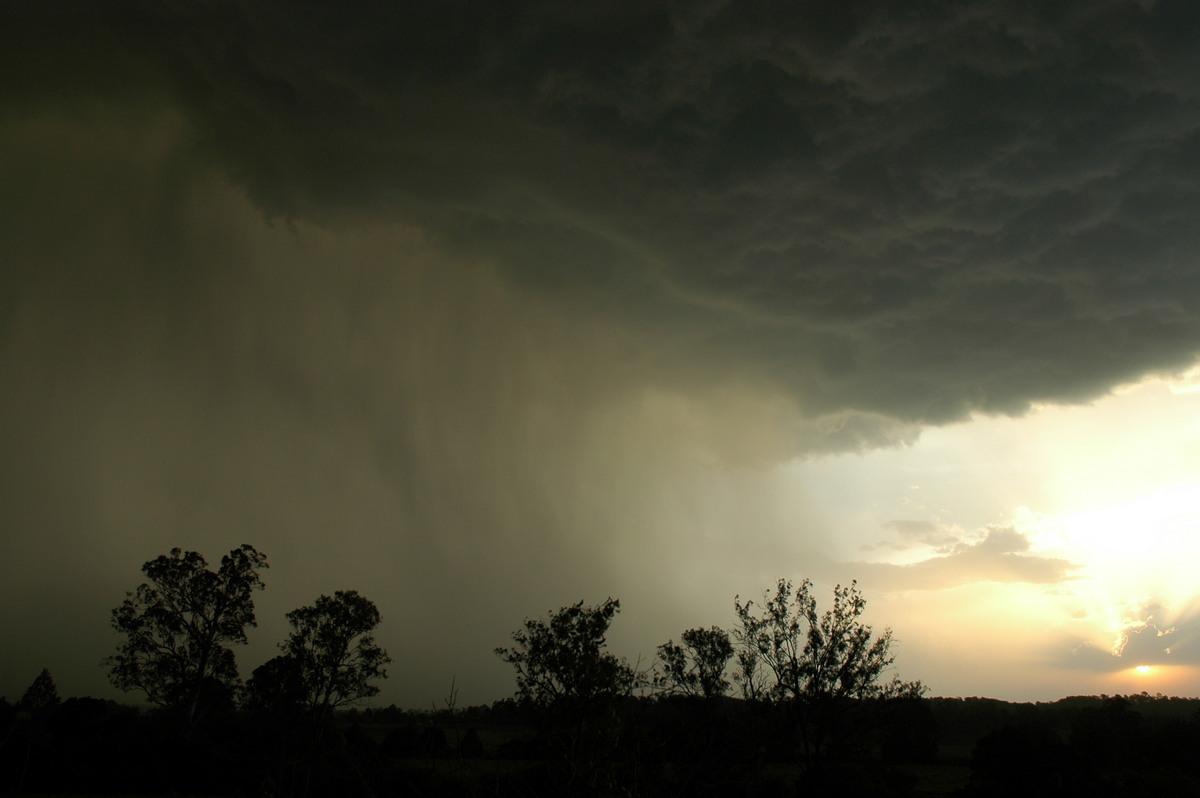
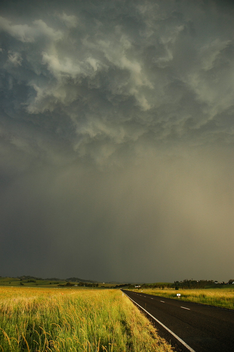
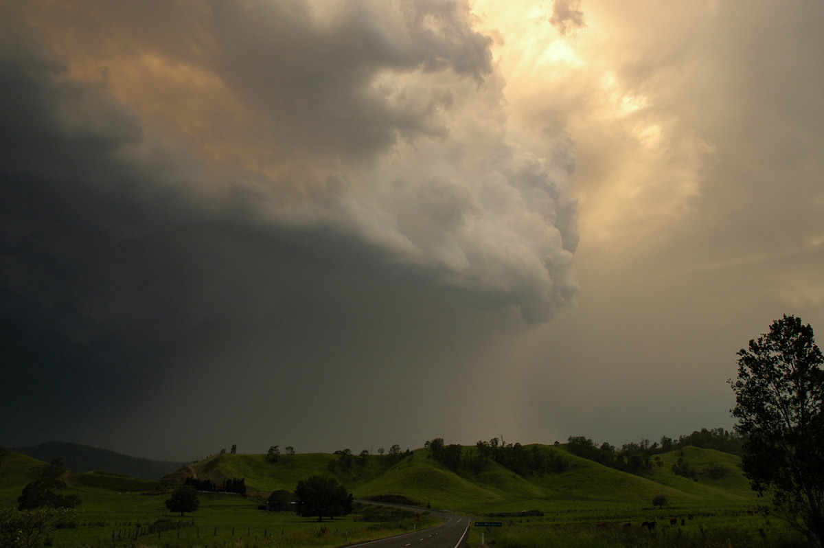
The road then heads northwest. The sunset lit view of the cell now to our northeast was very impressive. The southerly blasted through bringing low cloud so the show was over.
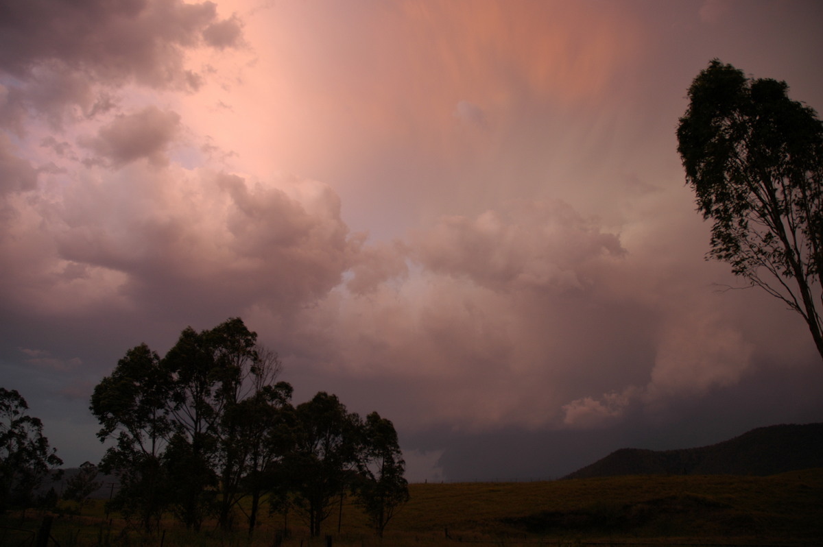
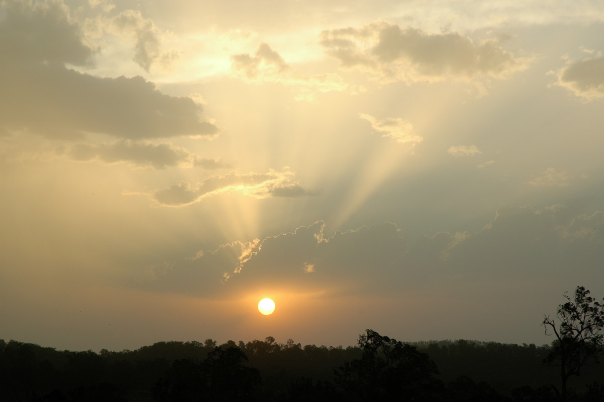
Sporadic lightning continued till about 930pm but it was mainly all obscured by patchy stratocumulus.
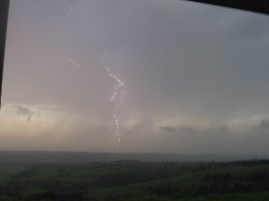
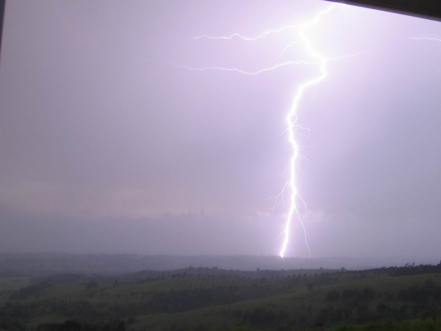
My daughter Katrina managed to get a couple of lovely daytime CGs out the front of our home at McLeans Ridges shortly after 7pm.
Discussion about this event can be found in the Australian Severe Weather Forum
More weather photos for this event can be found in the Photo Catalog
|
Document: 200611-13.htm Updated: 2nd January 2007 |
[Australian Severe Weather index] [Copyright Notice] [Email Contacts] [Search This Site] |