and Chasing
[Index][Archives]
Severe Thunderstorm Images of the Month Archives - 2008
Other years: [1997][1998][1999][2000][2001][2002][2003][2004][2005][2006][2007][2008][2009][2010]
| Storm News and Chasing [Index][Archives] |
Severe Thunderstorm Images of the Month Archives - 2008 Other years: [1997][1998][1999][2000][2001][2002][2003][2004][2005][2006][2007][2008][2009][2010] |
|
Severe Thunder- storm images of the month: December 2008
Photographs by Michael Bath |
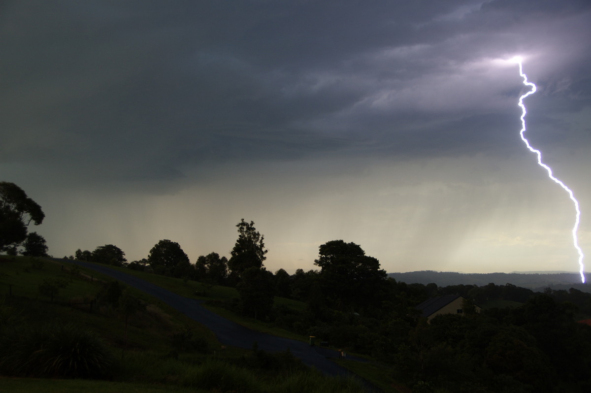
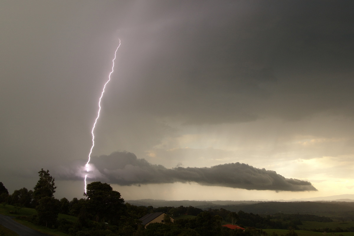
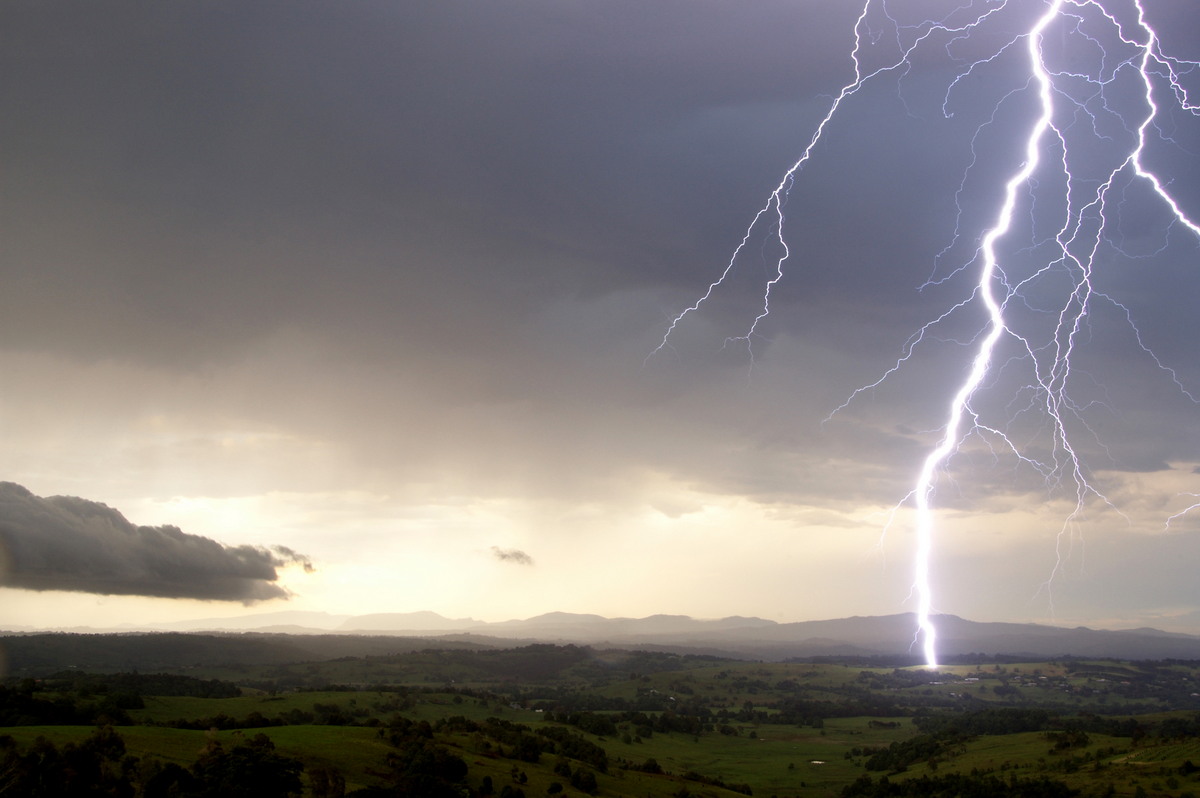
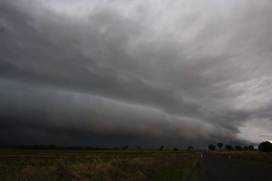
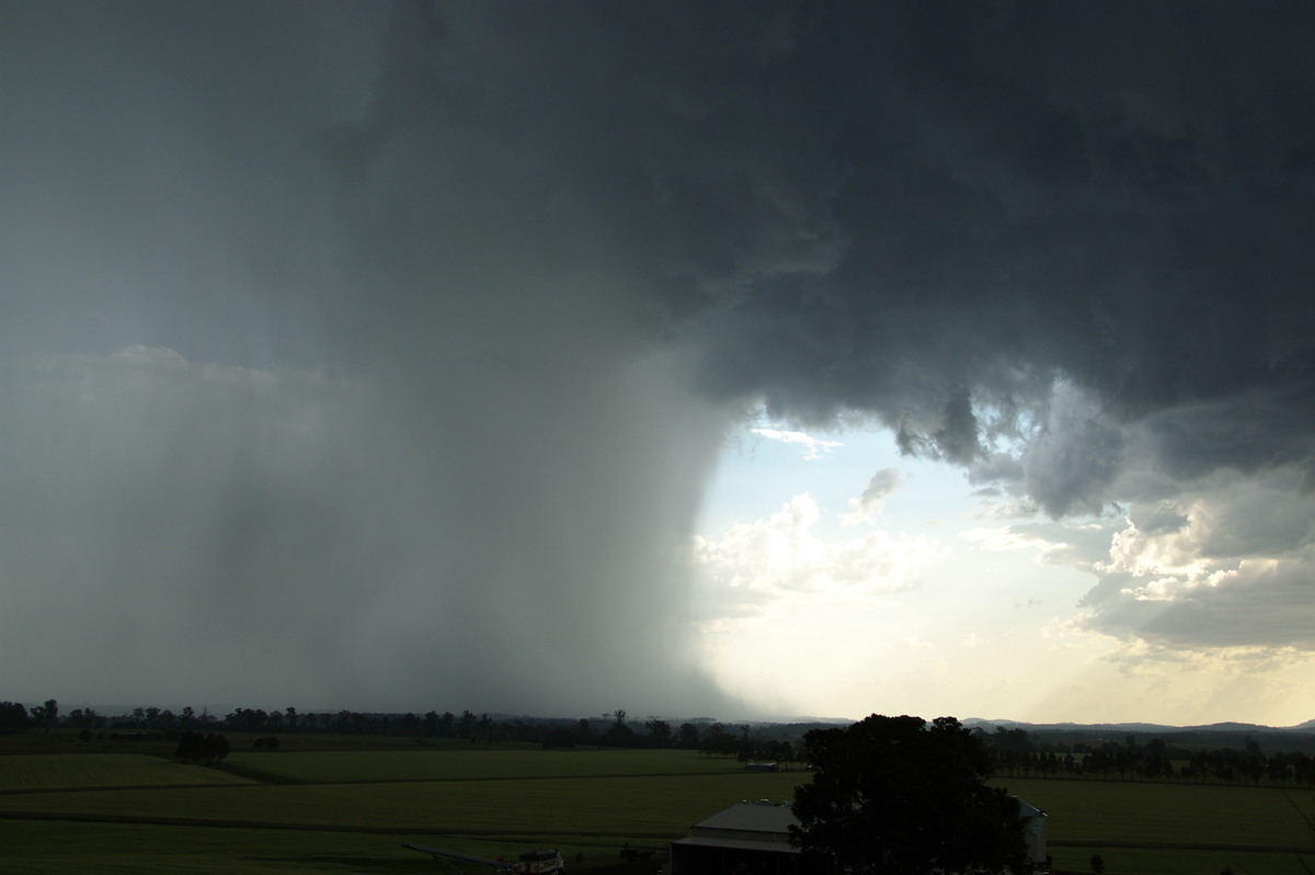
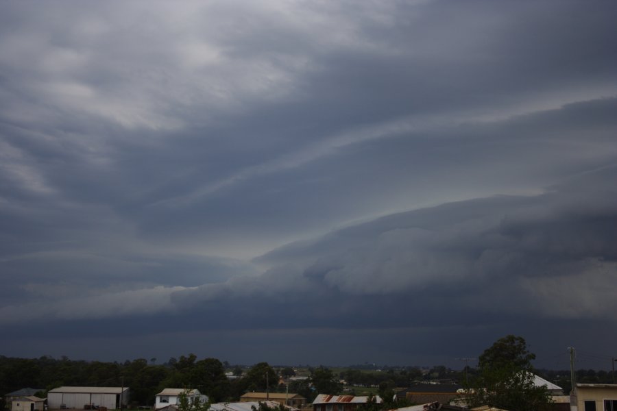
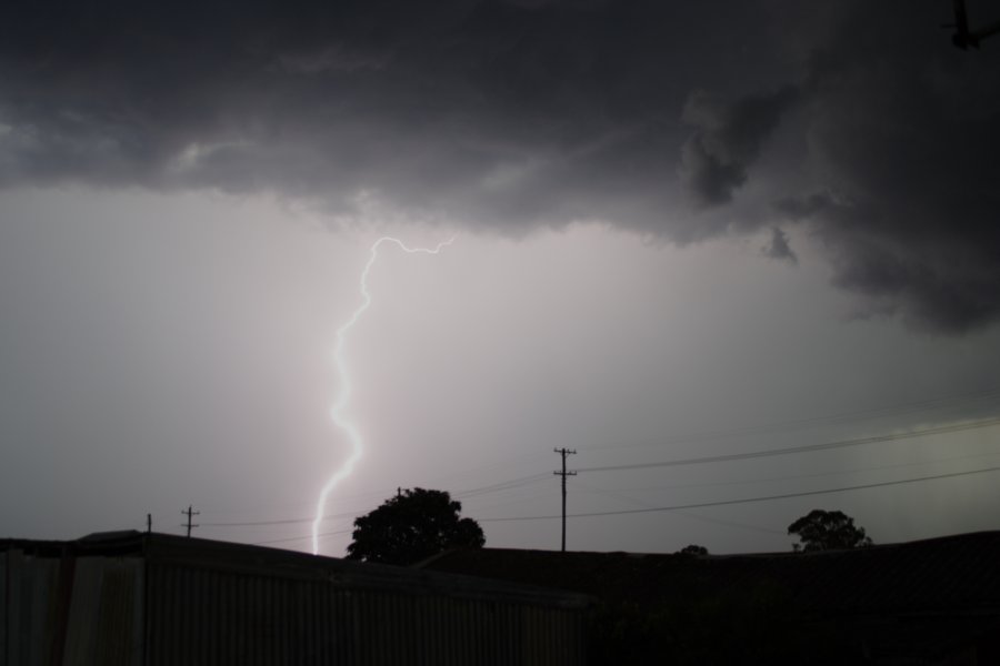
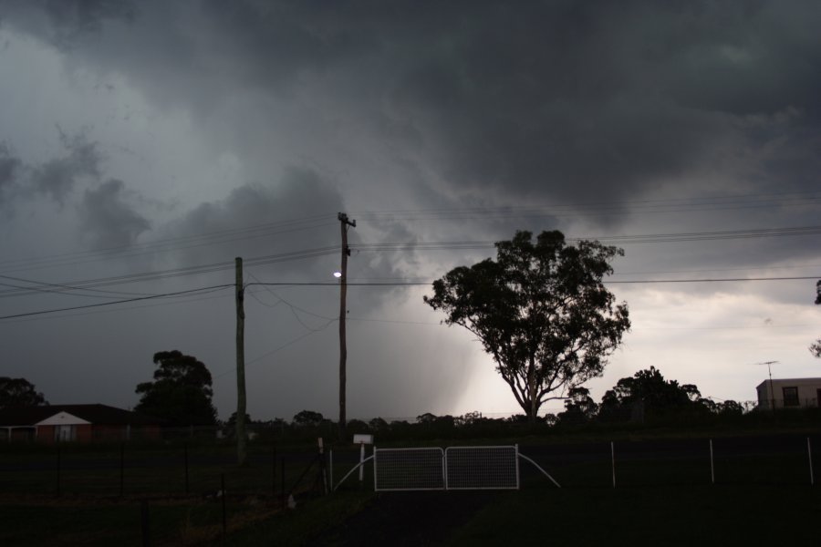
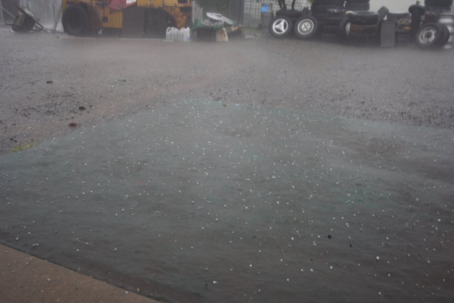
On the 3rd December 2008, very lightning active storms affected the northern parts of the NSW coast and Tablelands. These storms produced very heavy rainfall and hail in some areas as well as high energy lightning bolts. Damaging winds were also reported from a number of centres, particularly at Woodburn.
The third storm to pass over the Lismore region late in the afternoon produced a barrage of spectacular CGs. Very heavy rain and hail hit soon after.
|
|
Severe Thunder- storm images of the month: November 2008
Photographs by Jimmy Deguara |
|
|
Severe Thunder- storm images of the month: October 2008
Photographs by Michael Bath |
|
|
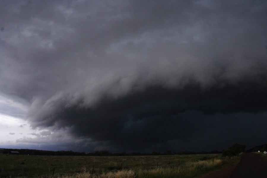
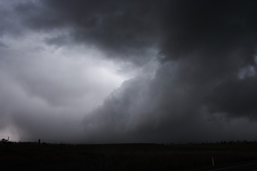
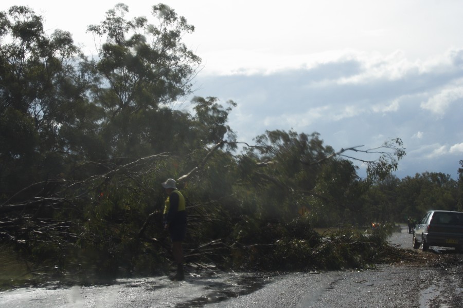
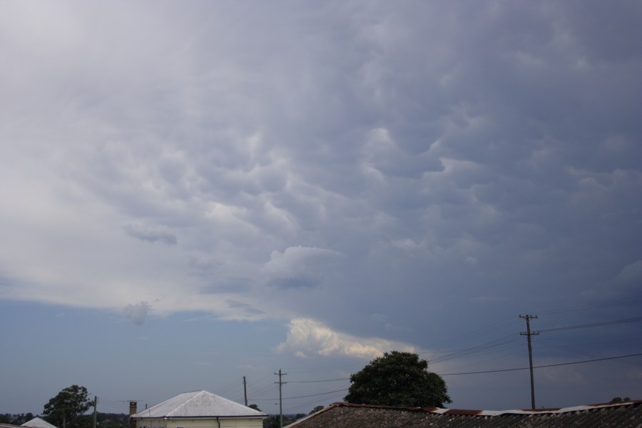
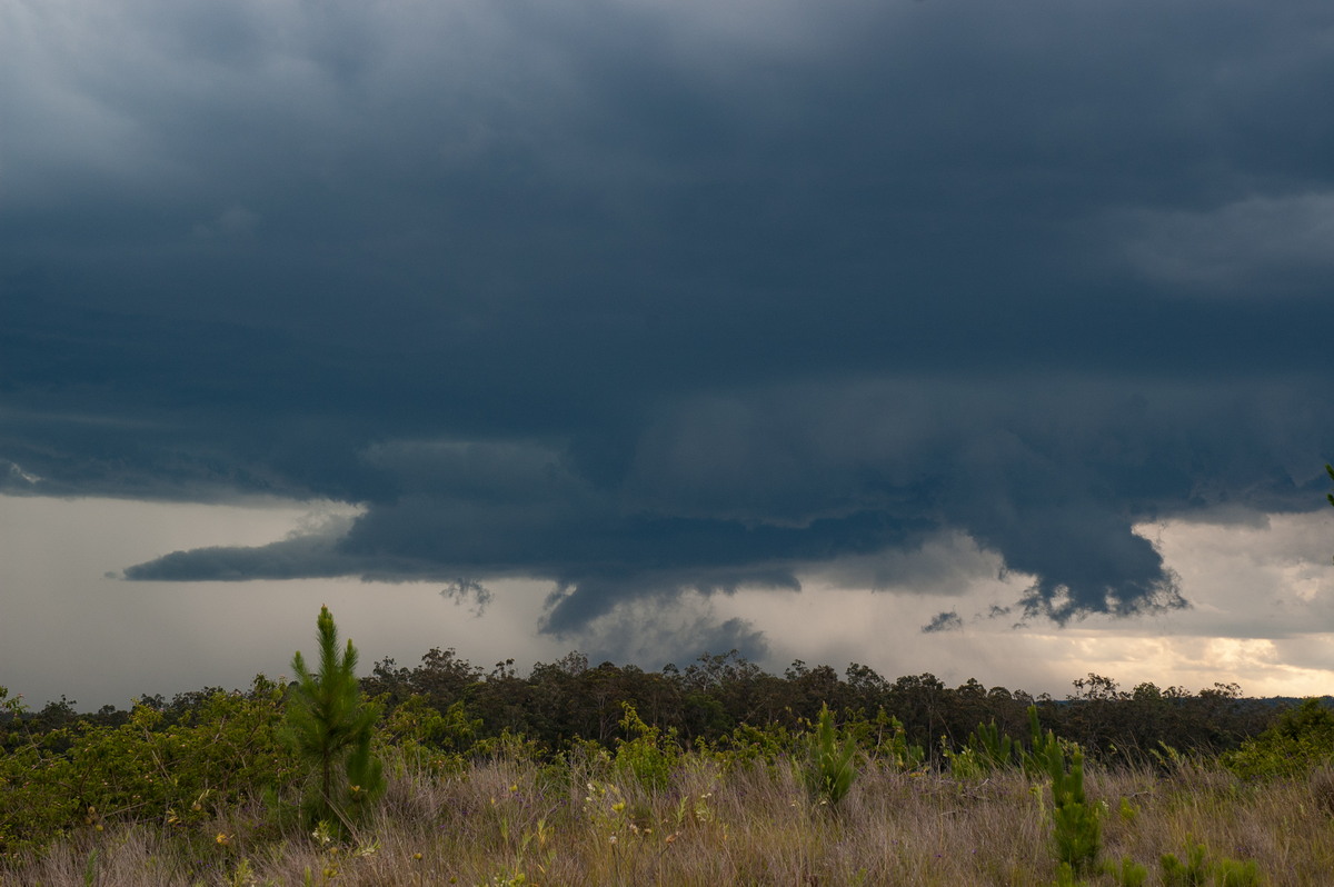
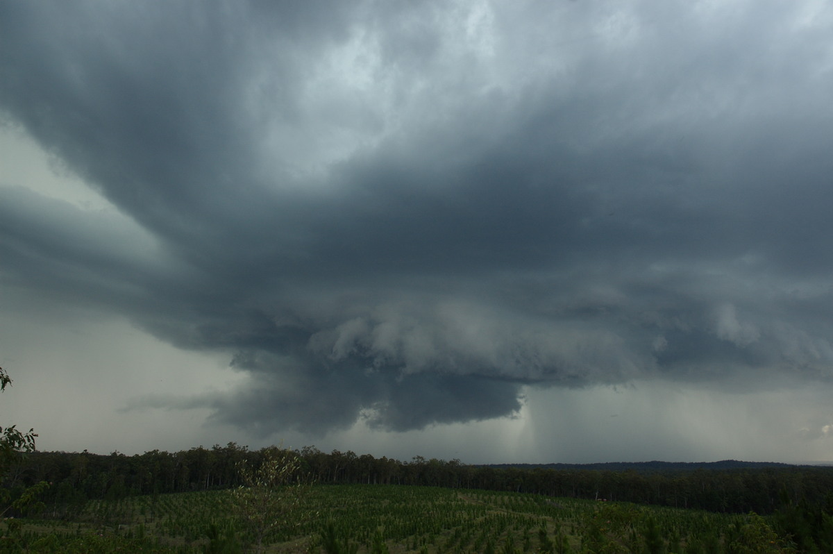
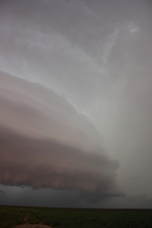
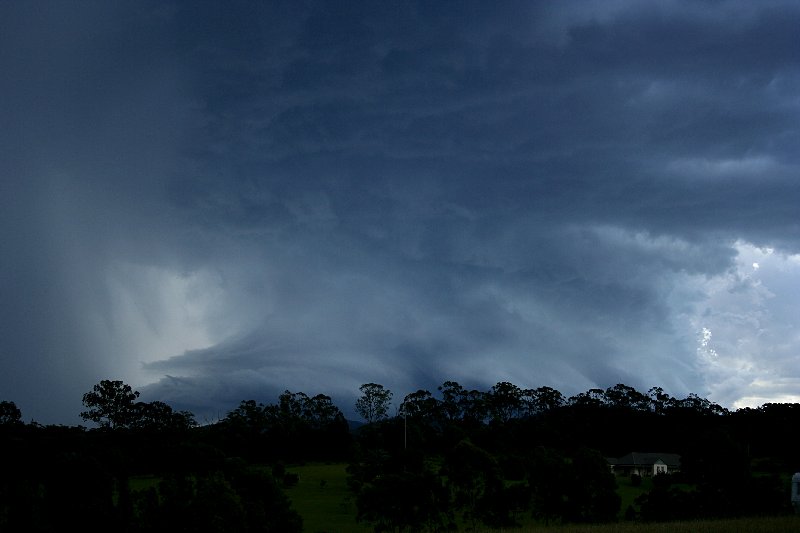
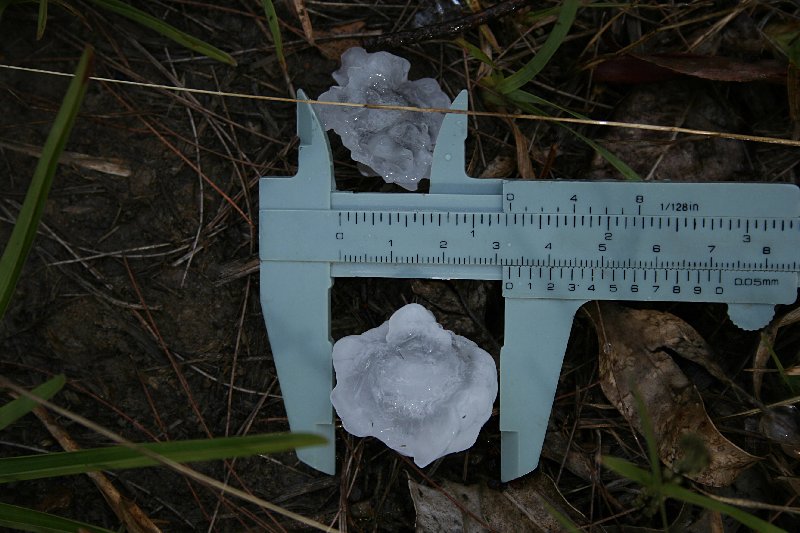
Severe Thunder- storm images of the month: September 2008 Photographs by Jimmy Deguara |
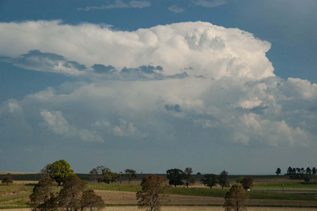
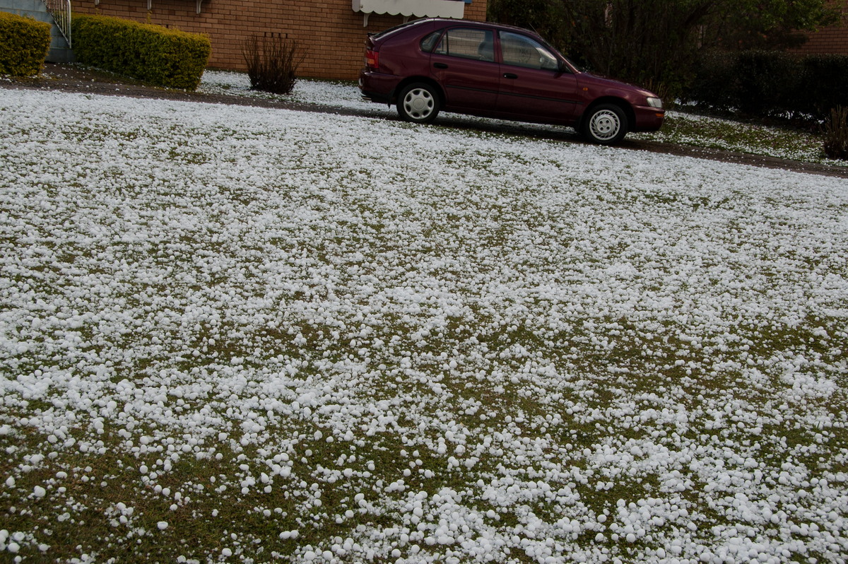
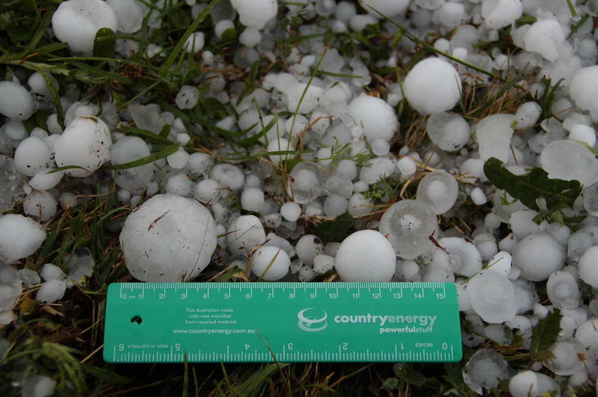
The storm at this time produced the largest hailstones up to 3cm in diameter, very heavy rainfall and a few microbursts. Lightning and high winds caused trees to be felled in some areas leading to blackouts.
|
|
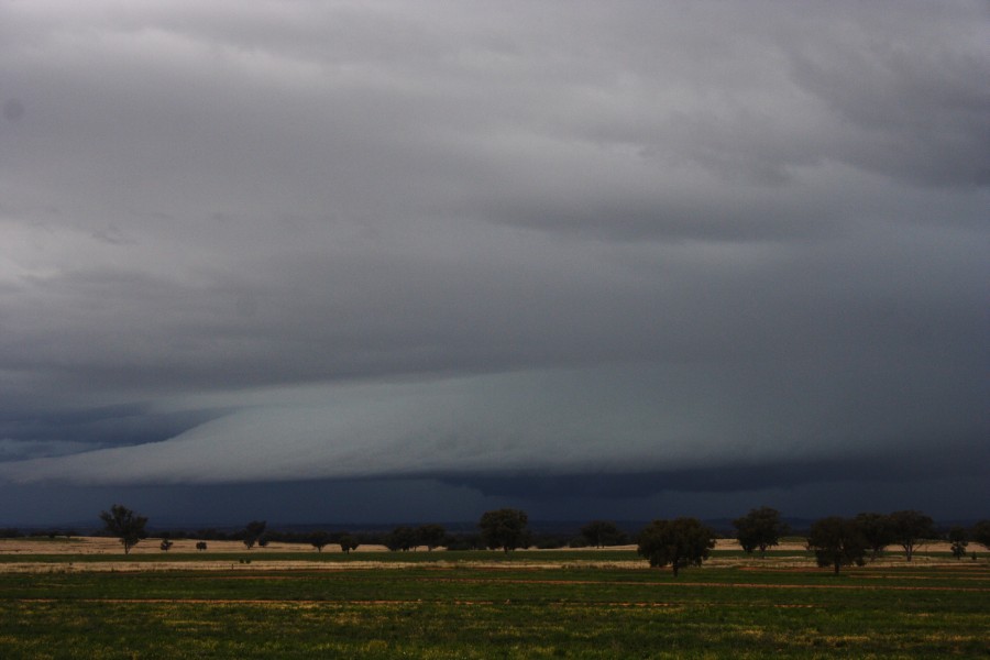
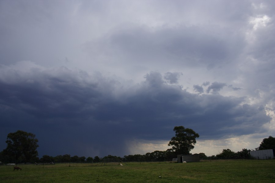
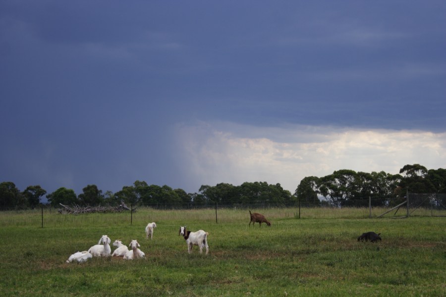
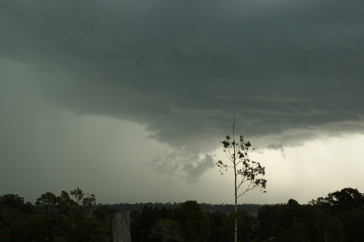
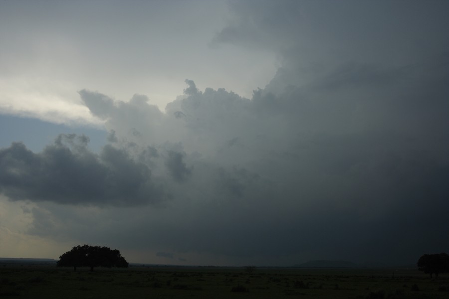
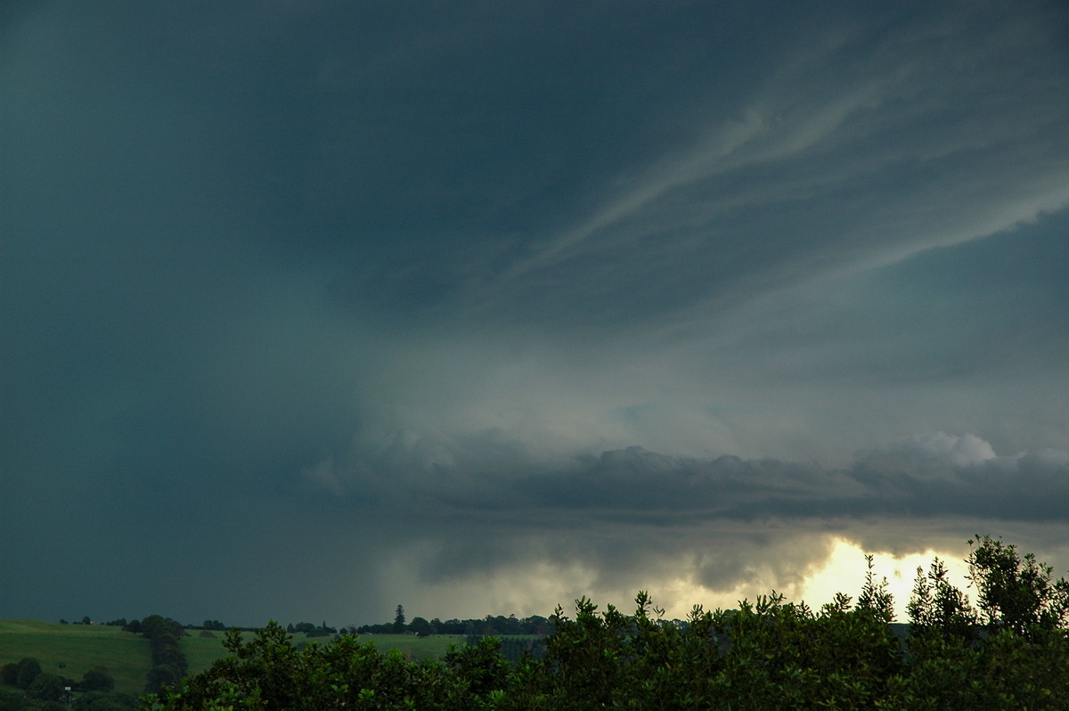
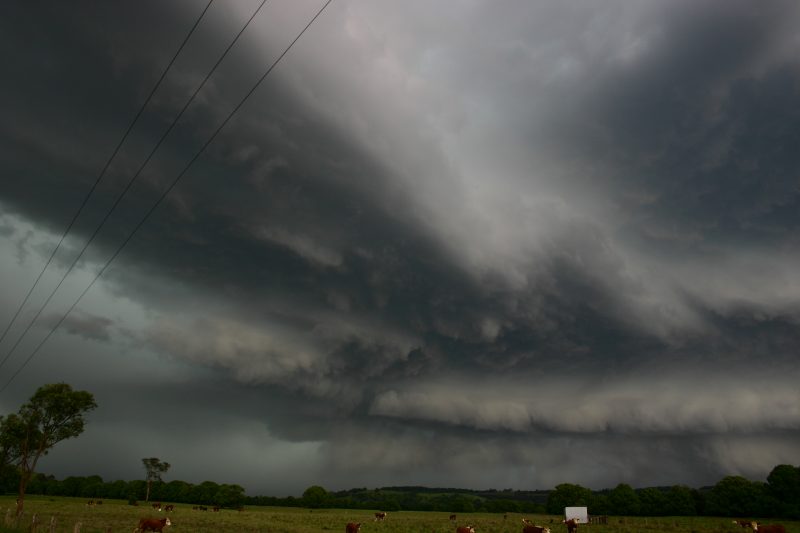
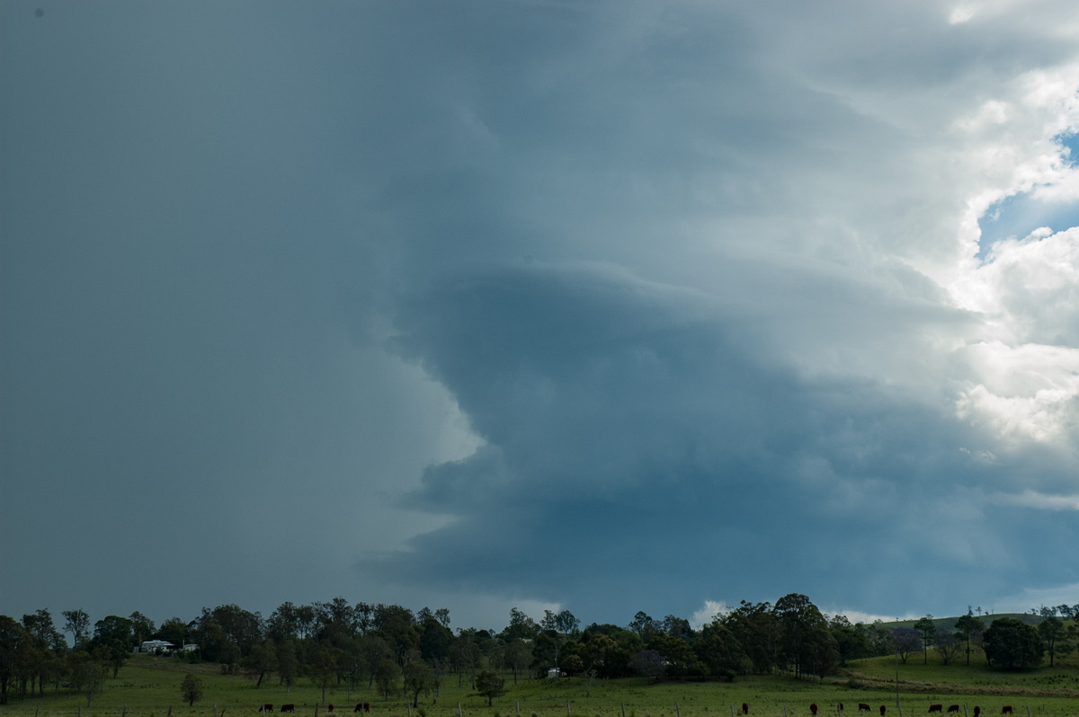
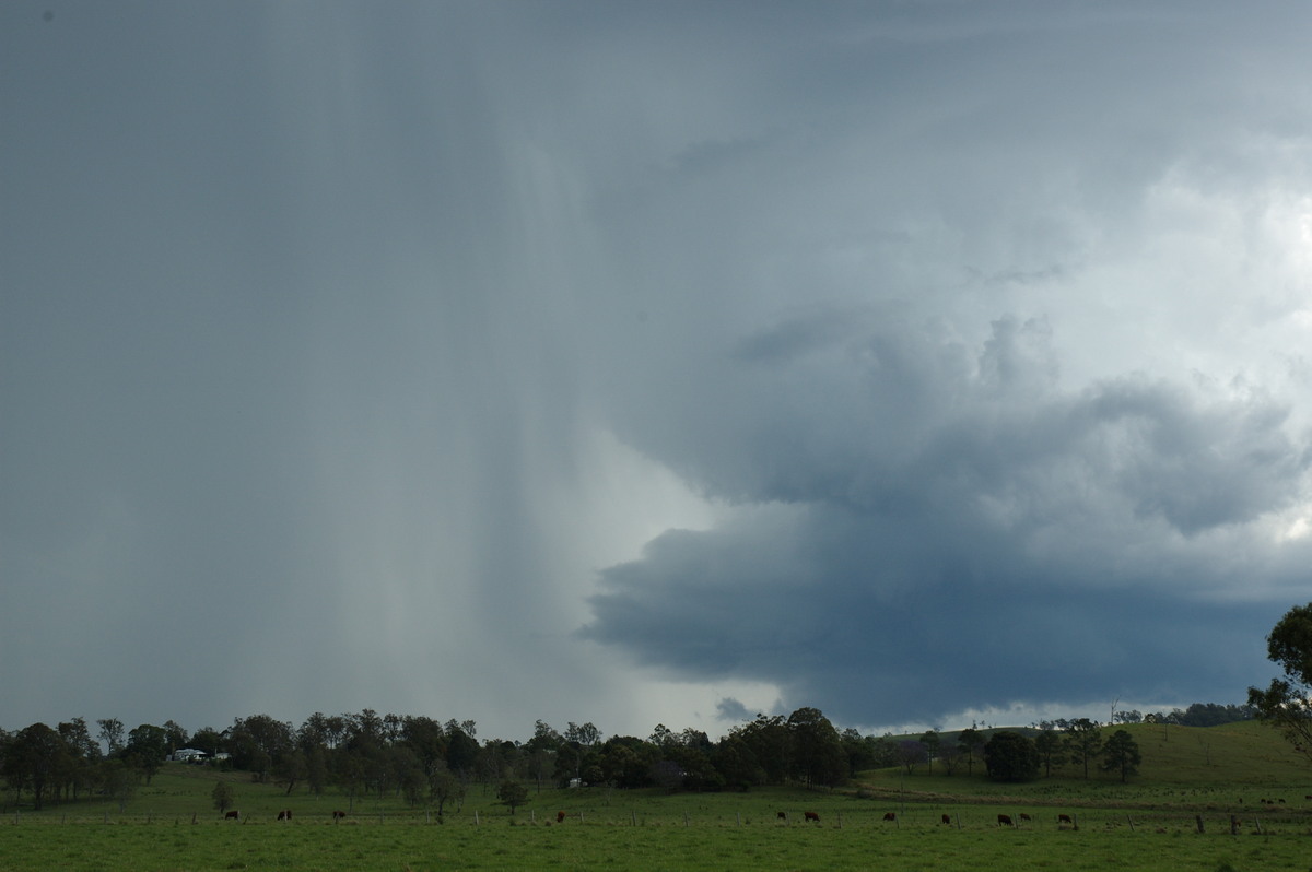
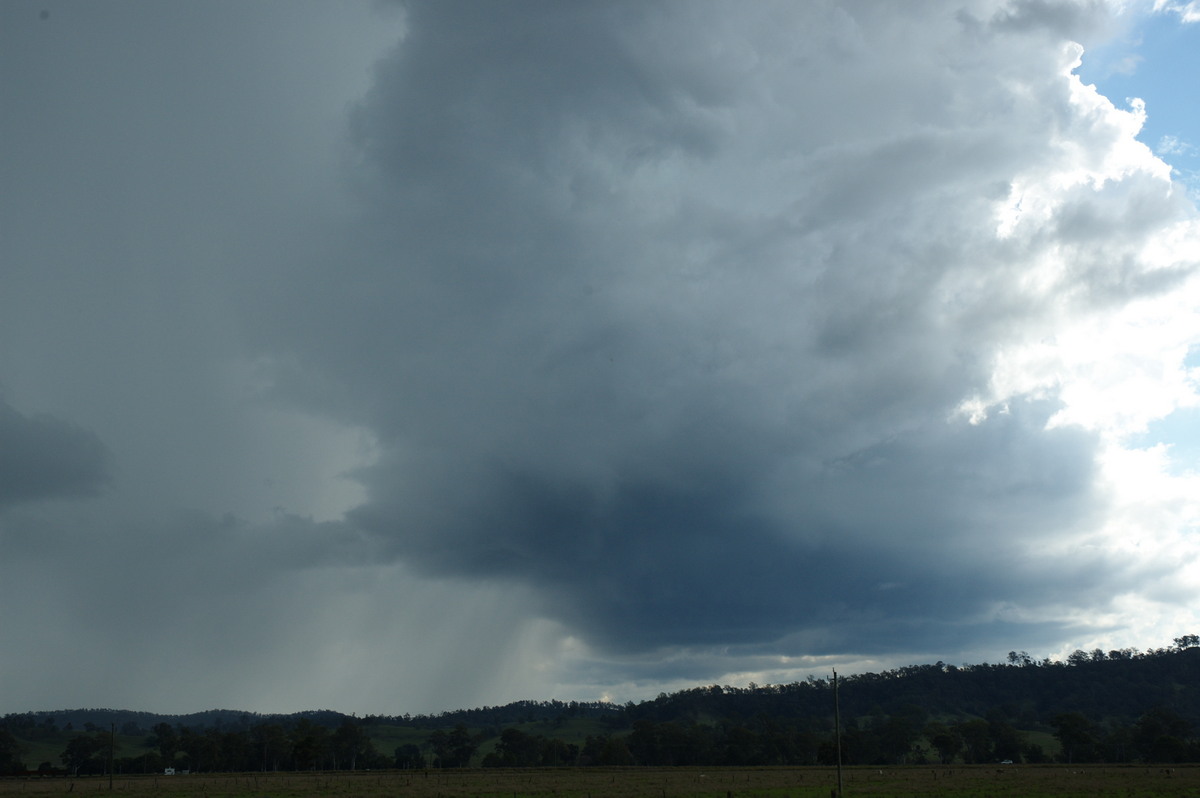
Severe Thunder- storm images of the month: August 2008 Photographs by Michael Bath and Rodney Wallbridge |
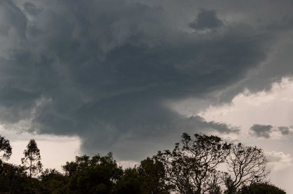
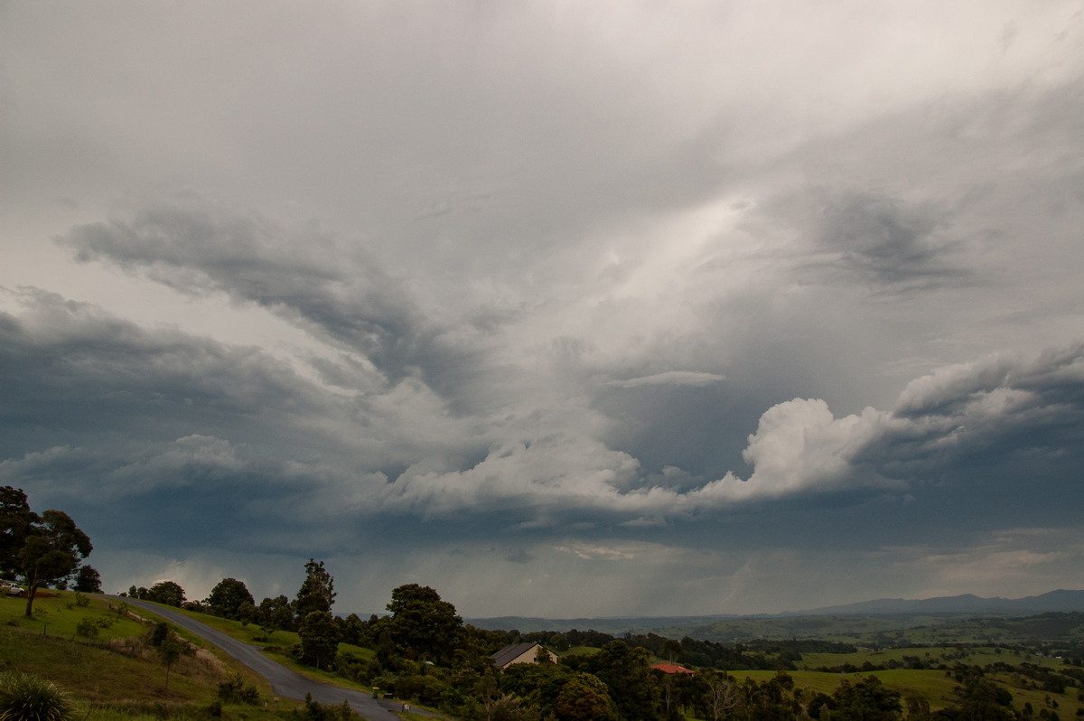
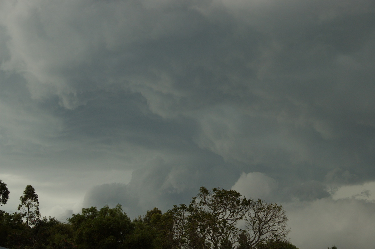
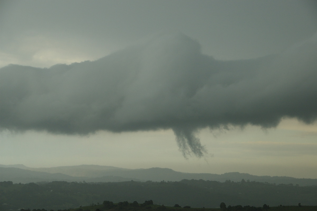
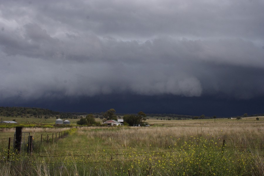
The day started off with fairly weak and dryish looking convection along the Richmond Range before a decent thunderstorm organised southwest of Grafton. The storm tracked fairly slowly northwards over several hours cycling into the severe category several times, before dissipating near Casino.
At times there were characteristics of a supercell but these were short-lived. A storm chase between Casino and Grafton provided some nice photo opportunities.
|
|
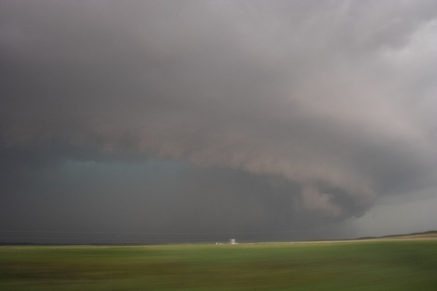
Severe Thunder- storm images of the month: July 2008 Photographs by Michael Bath and Rodney Wallbridge |
|
|
Severe Thunder- storm images of the month: June 2008
Photographs by Jimmy Deguara |
|
|
Severe Thunder- storm images of the month: May 2008 Photographs by Michael Bath |
|
|
Severe Thunder- storm images of the month: April 2008 Photographs by Jimmy Deguara |
|
|
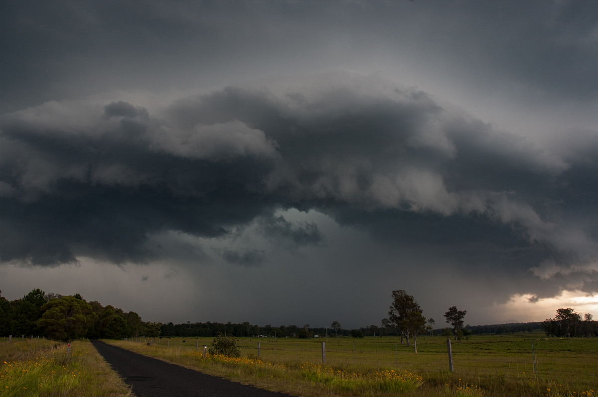
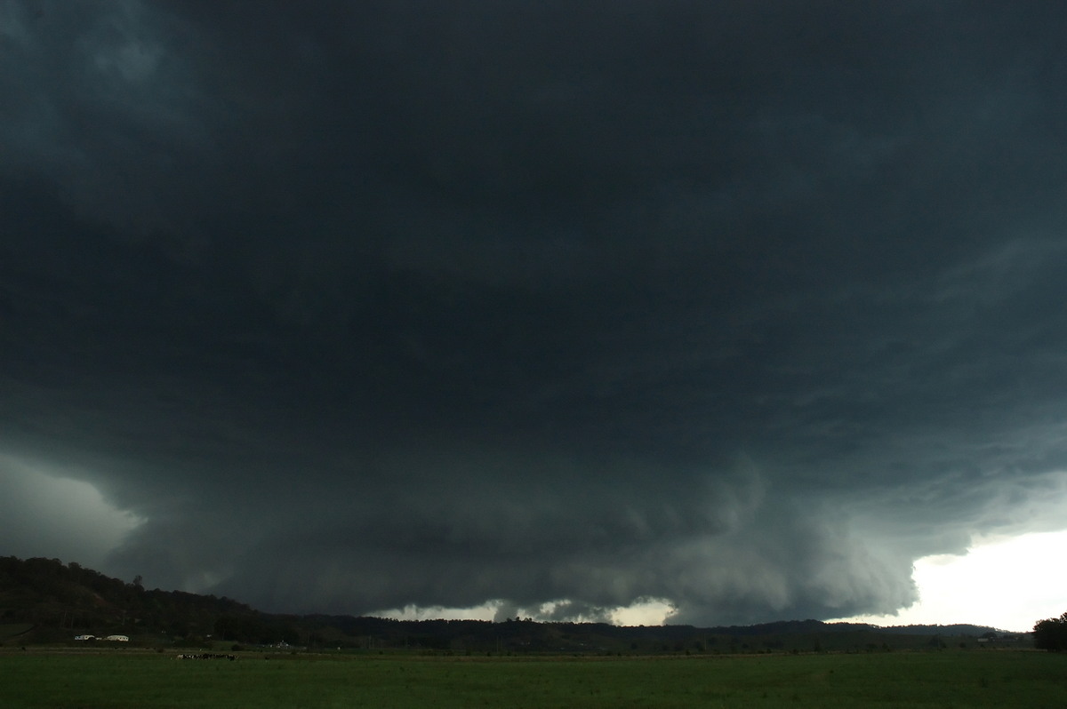
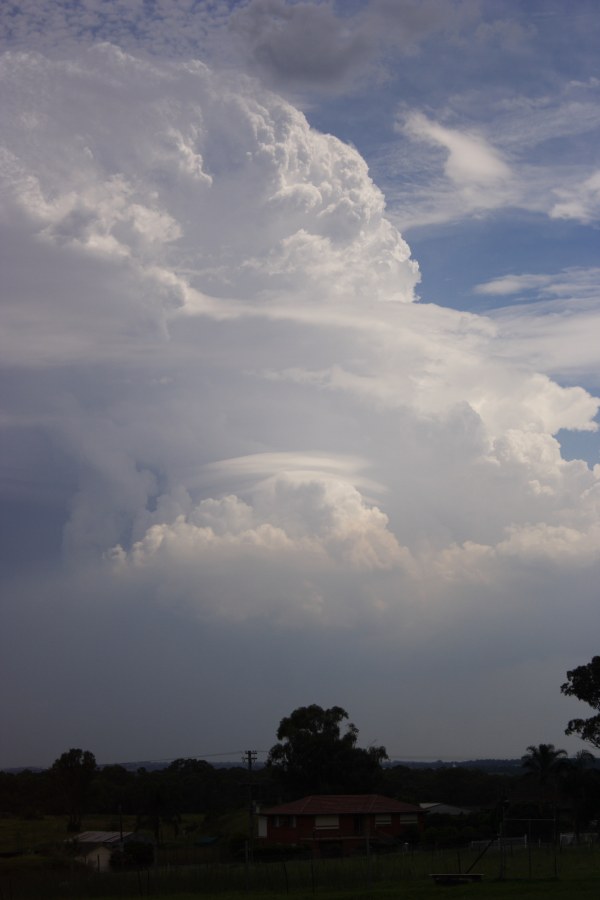
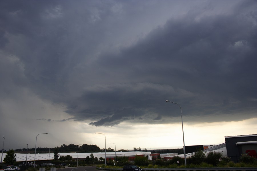
Severe Thunder- storm images of the month: March 2008 Photographs by Jimmy Deguara, Michael Bath and Rodney Wallbridge |
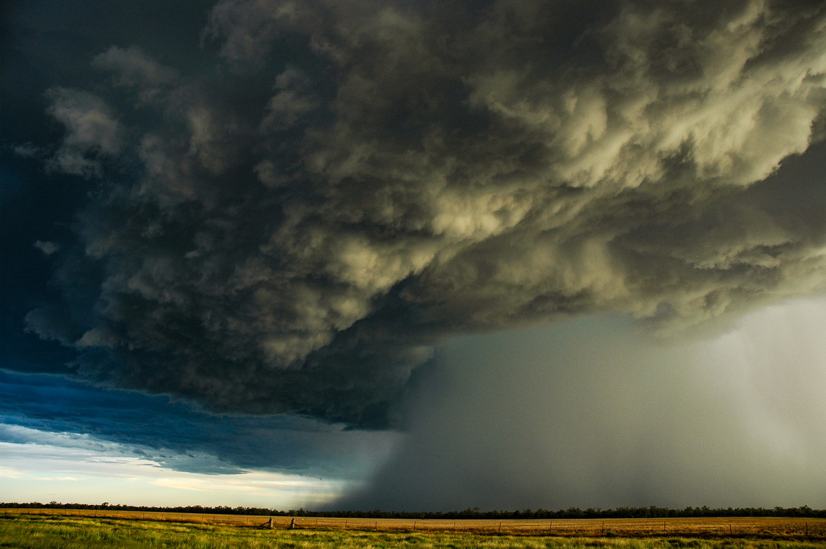
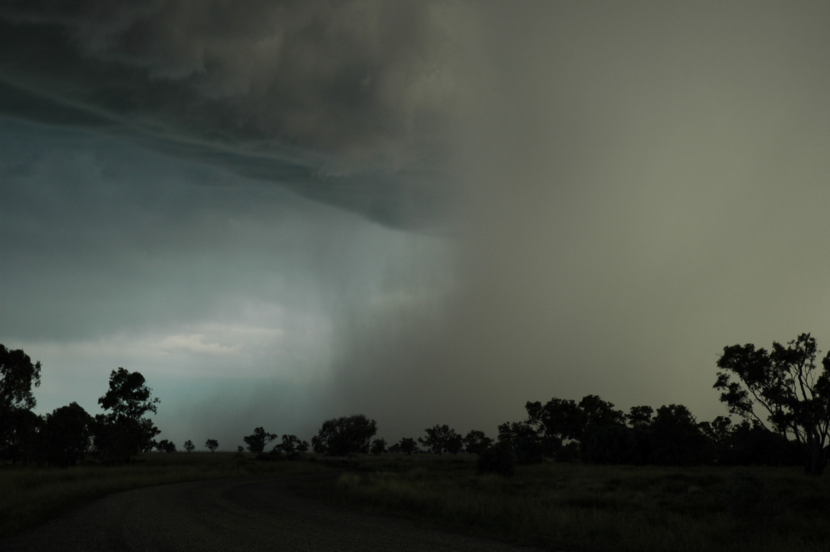
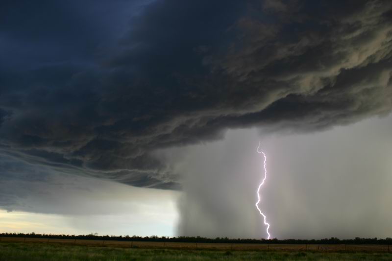
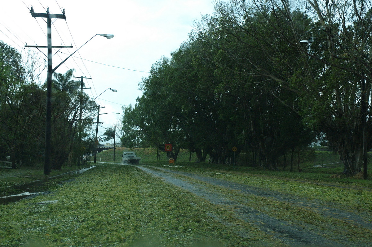
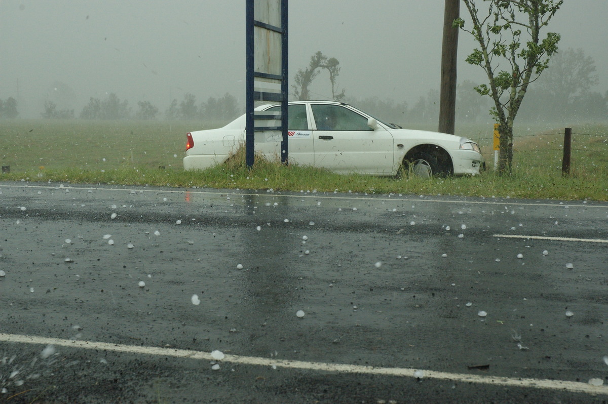
Meanwhile, a violent high precipitation supercell produced extreme straight line winds and very large hailstones on the north coast. Extensive damage occurred between Lismore and Casino.
Further details and discussion about this and |
|
Severe Thunder- storm images of the month: February 2008 Photographs by Jimmy Deguara |
Further details and discussion about this and other
severe storms can be found in the
Australian
Severe Weather Forum thread
|
|
Severe Thunder- storm images of the month: January 2008 Photographs by Michael Bath |
Further details and discussion about this and other
severe storms can be found in the
Australian
Severe Weather Forum thread
|
|
Document: arc2008.htm
Updated: 2nd February 2009 |
[Australian Severe Weather index] [Copyright Notice] [Email Contacts] [Search This Site] |