Observation Techniques
[Index]
Main Index Home Page Stock Weather Photos Australian Severe Weather Forum Storm News and Storm Chasing Reports Tropical Cyclones / Hurricanes / Typhoons Weather Data and Links Wild Fires / Bushfires Weather Observation Techniques Weather Picture Catalogue Tornado Pictures and Reports Stock Video Footage and DVDs for sale
Observing pollution, dust, smoke or moisture haze
[Back to introduction of more advanced techniques]

  1. Observing pollution haze
  2. Observing dust haze
  3. Observing smoke haze
  4. Observing moisture haze

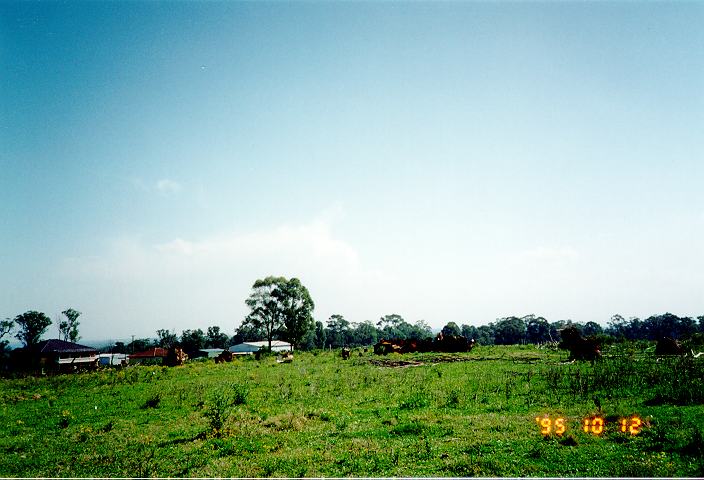
Haze refers to a light cloud of fine particles that consequently reduces visibility. The extent of the visibility loss depends on the amount of particles in the air and the thickness of the haze.There are four main types of hazes: pollution, dust, smoke and moisture hazes. Each of the hazes Besides the fact that these hazes reduce visibility, they also make the surroundings such as the landscape and clouds appear different than the would normally look in clear conditions.

Observing pollution haze

Pollution is something we all consider as an un-natural and unfortunate component introduced since the Industrial Revolution. Urbanisation has lead to an increase in air pollution, mainly in the cities. The particles that make up the pollution form a visible haze. A thick pollution haze exists in some cities and is known as smog. It is a dark grey or brown in colour. It occurs in the lower layers of the atmosphere usually within a few hundred metres. Pollution hazes occur more often when the synoptic charts show a high pressure system directly overhead. An inversion occurs under these conditions trapping the pollution. Light winds mean the pollution will persist. During windy weather, the pollution is dispersed and cleared away. Moderate to heavy rain over few day period also can clear the pollution.

Back to top

Observing dust haze

As the name implies, a dust haze is made up of dust particles. Unlike pollution hazes, dust hazes occur in windy and dry unstable conditions. The duration can vary from a few hours with a brief strengthening of winds to a day or so in some arid areas or areas which have been affected by drought.

Visibility from dust hazes can vary from a light dusty haze to heavy brown haze that can cover the sun and make it very dark. This dark haze situation is known as a dust storm. In 1983, Melbourne (Australia) experienced a dust storm in which street lights were switched on automatically due to the dark conditions. Dust may settle on the ground as the weather conditions responsible for the thick dust haze (namely the wind) eases.

Back to top

Observing smoke haze

A smoke haze occurs mainly due to bush fires or burn-offs. Like dust hazes, a smoke haze can vary in thickness and density to the extent that it may appear like cloud. This is discussed in the section on bush fires.

It appears similar to pollution haze and sometimes becomes part of it. Smoke hazes can vary in height from a few hundred metres or less to several kilometres. The latter case is especially true with severe bush fires. The duration can be from a few hours to several days, even after bush fires cease.

Back to top

Observing moisture haze

A moisture haze is basically a haze that is visible during unstable conditions with high moisture content in the air. It is often a sign that thunderstorms may develop (as a result of the unstable conditions). This haze occurs in the lower layers up to a height of a few hundred metres or so. The haze is usually light to moderate grey in colour. Cumulonimbus (or thunderstorm cloud) often appear discoloured with a yellow-orange look when observed from a reasonable distance.

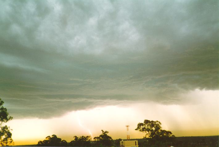
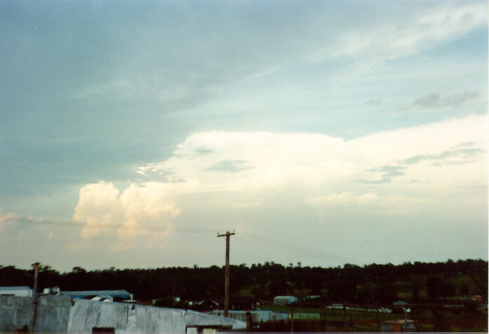
The synoptic conditions associated with moisture hazes are developing troughs of low pressure, cold fronts and trough lines. In the case of trough lines, the clear air can be seen at the rear of the haze region. The haze region lies ahead of the trough line boundary as it passes through.The large cumulus and thunderstorms develop in the region with the moisture haze.

Generally, with all cases of hazes, clearing edges of normally indicate changes in weather conditions such as a change in wind direction and/or speed. In the case of pollution hazes, an approaching sea breeze is sufficient to disperse the pollution. A cold front will clear the pollution. In bush fire weather conditions, wind changes associated with cold fronts can clear or change the paths of bush fires.

The important points to note from these observations is the reverse of these observations. For instance, if there is a change in direction of the smoke plumes, there is a change in wind direction. If there is moisture haze, the air may be unstable and thunderstorms may develop. Using these techniques are sometimes very important ways of determining what the weather is doing nearby.

[Back to top]
[More advanced techniques introduction]


Document: hazes.htm
Updated: 20th March 2008

[Australian Severe Weather index] [Copyright Notice] [Email Contacts] [Search This Site]