and Chasing
[Index][Archives]
Storm Chase: Wednesday 27th December 1995
by Jimmy Deguara
| Storm News and Chasing [Index][Archives] |
Storm Chase: Wednesday 27th December 1995 by Jimmy Deguara |
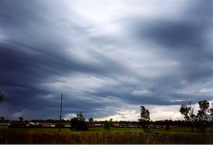
As the storms and associated development moved off the coast, a widespread layer of altocumulus developed. Around midday however, the cloud dissipated and cleared quickly. This effectively exposed developing cumulonimbus to the west and southwest.
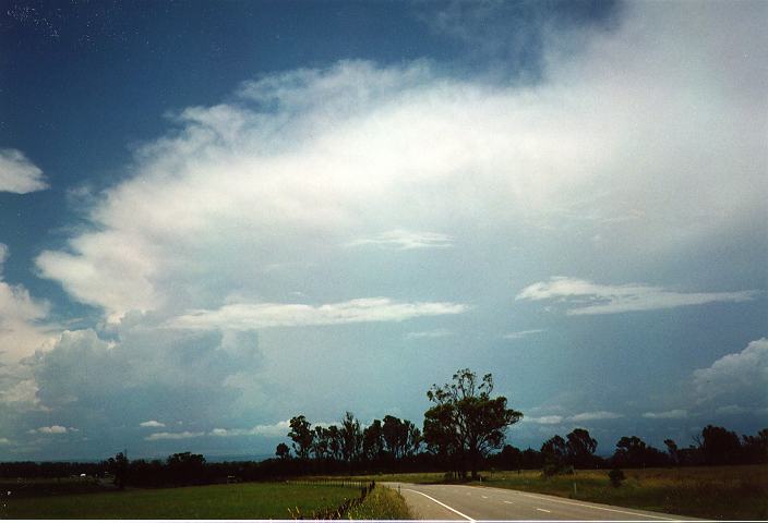
I initiated a solo storm chase at 12:30pm and headed for Camden. I took 2 photos from Schofields at 12:30pm. As I headed through Erskine Park, I observed what may have been a small bolt of lightning from a back anvil of one of the storms to the south. I stopped and took 3 photos at 1:15pm. Changing a ripped tyre, briefly halted my progress as I headed for Elizabeth Drive. I arrived at Oran Park at 2pm and took several photographs of storms to the west and southwest and headed for Camden. Here, I took more photographs of storms to the west and now the northwest including one of spectacular mammatus.
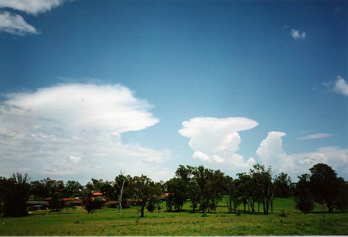
 Early cumulonimbus development.
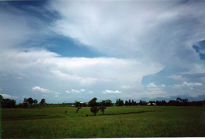
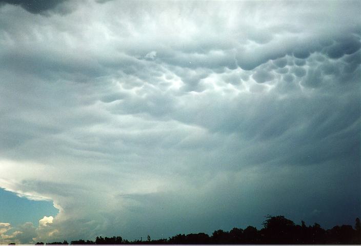 Spectacular mammatus formations
Unfortunately (for me!!), there were relatively weak storms developing in the area all afternoon. Then from around 3pm, storms developed in the region to the south of Camden. These further developed to become severe looking storms and I guessed from the heights of the cumulonimbus that they had hail. I had hoped there would be further development to the northwest of this system only to find that the storms evaded me. Using the radio as a lightning detector, I was able to confirm that the storms were not approaching Camden. (An increase in the frequency of interference noise usually means the storms have intensified, are approaching or both). I decided not to chase because I gathered it was too distant and there seemed to be low cloud cover at the base of the storms. At Camden, brief rain and low cloud cover gave me good reason to head back home.
I was later informed by a storm spotter of a hailstorm dumping 5cm hail on Bowral that day. This confirmed that the storm I had been observing was a severe hailstorm.
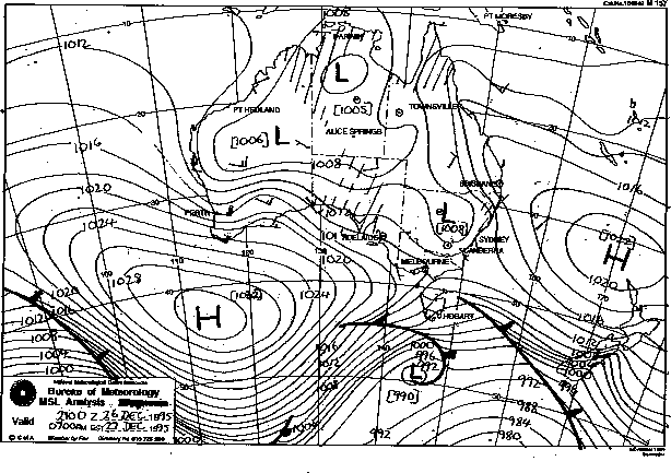
Synoptic Charts provided by the Bureau of Meteorology
|
Document: 9512-06.htm
Updated: 5th April, 2004 |
[Australian Severe Weather index] [Copyright Notice] [Email Contacts] [Search This Site] |