and Chasing
[Index][Archives]
Riverina / Central West Slopes Storm Chase: Friday 9th to Saturday 10th September 2005
by Jimmy Deguara
| Storm News and Chasing [Index][Archives] |
Riverina / Central West Slopes Storm Chase: Friday 9th to Saturday 10th September 2005 by Jimmy Deguara |
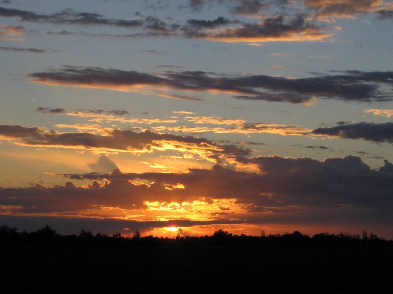
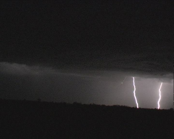
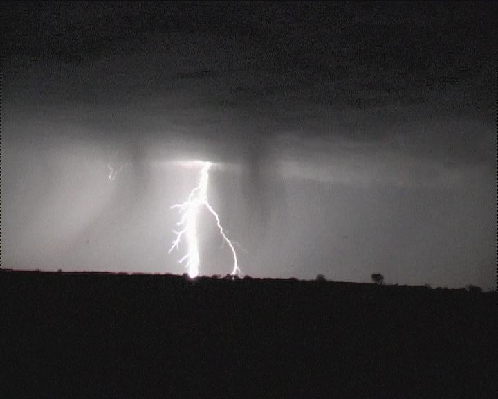
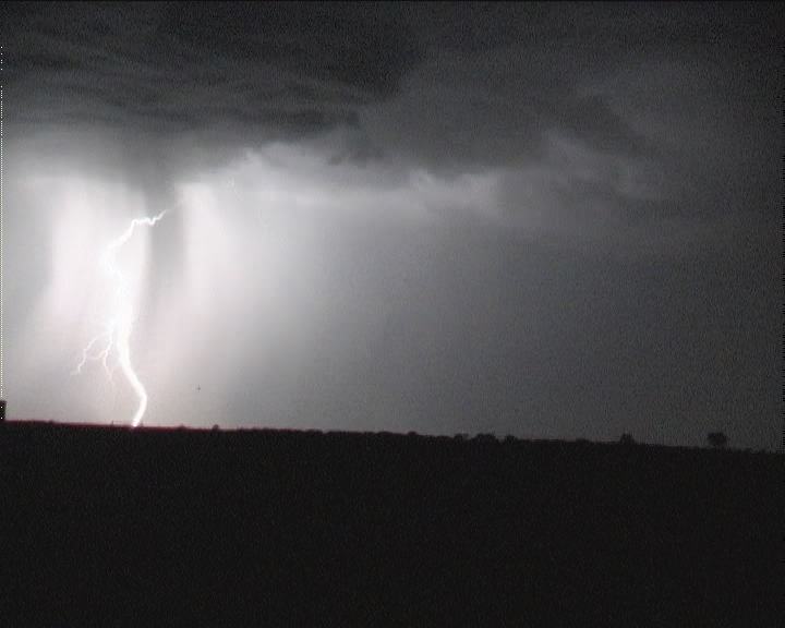
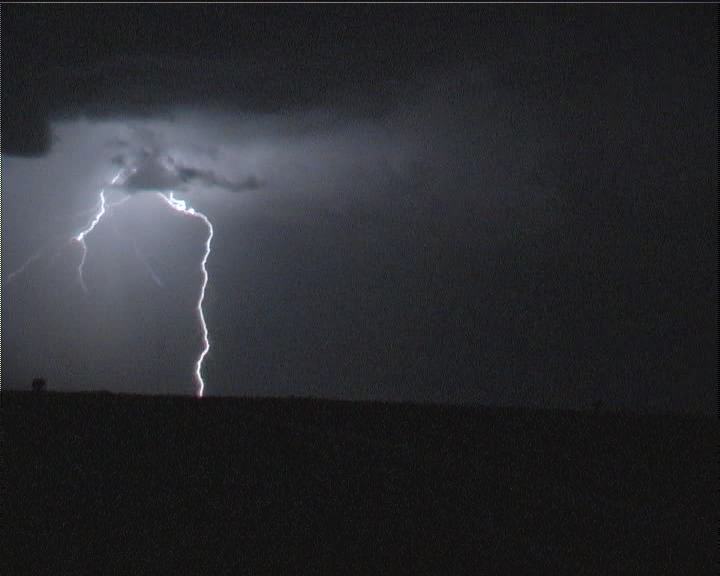
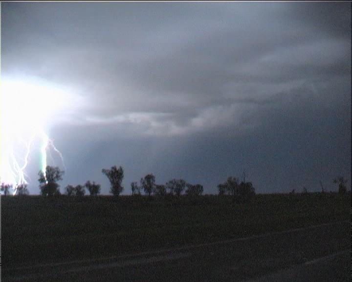
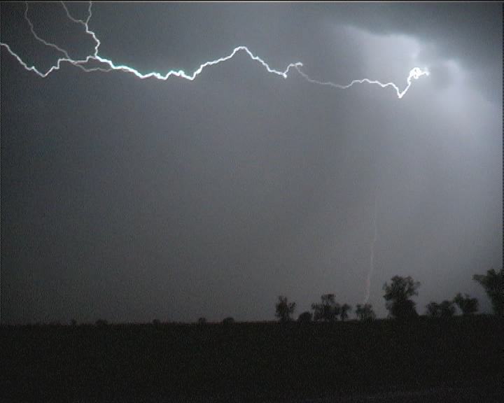
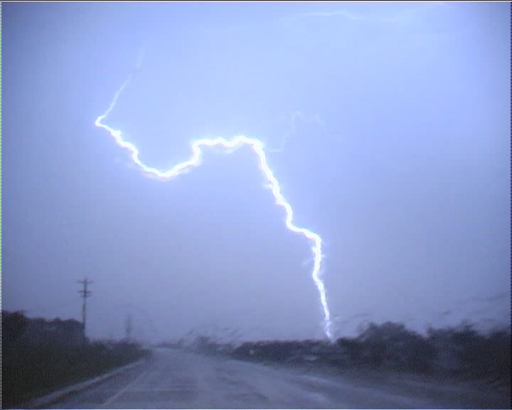
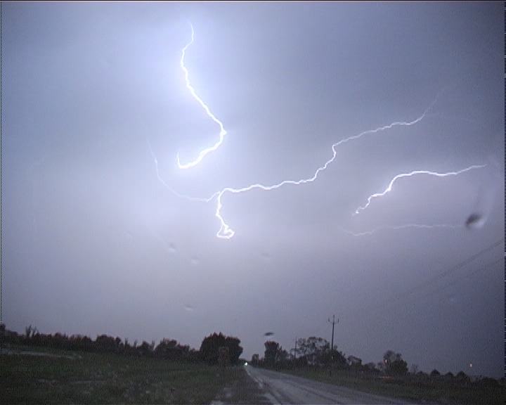
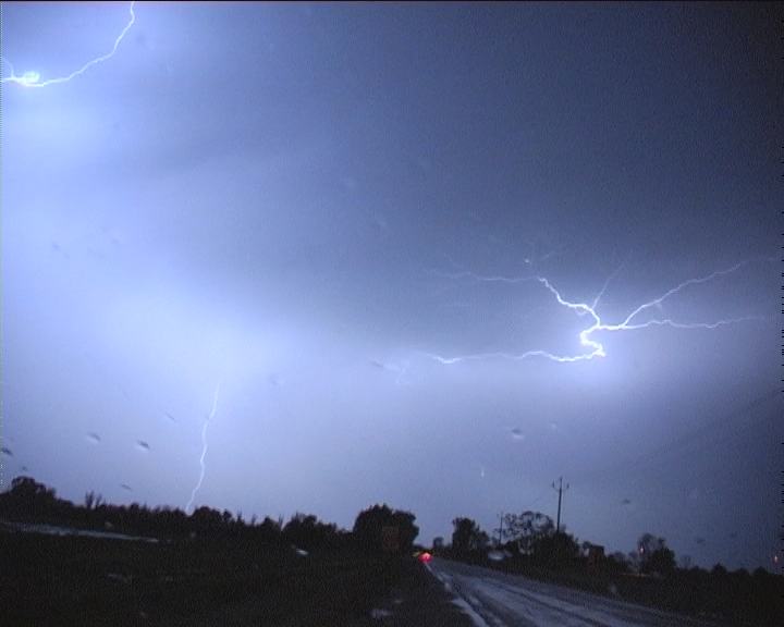
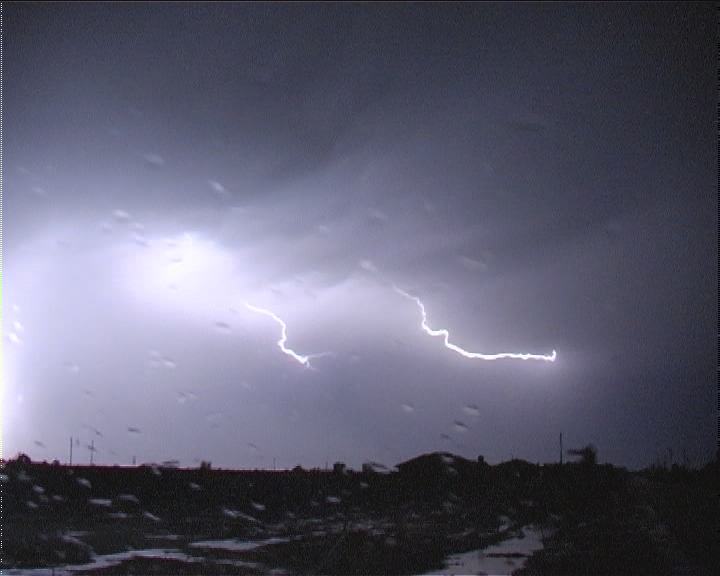
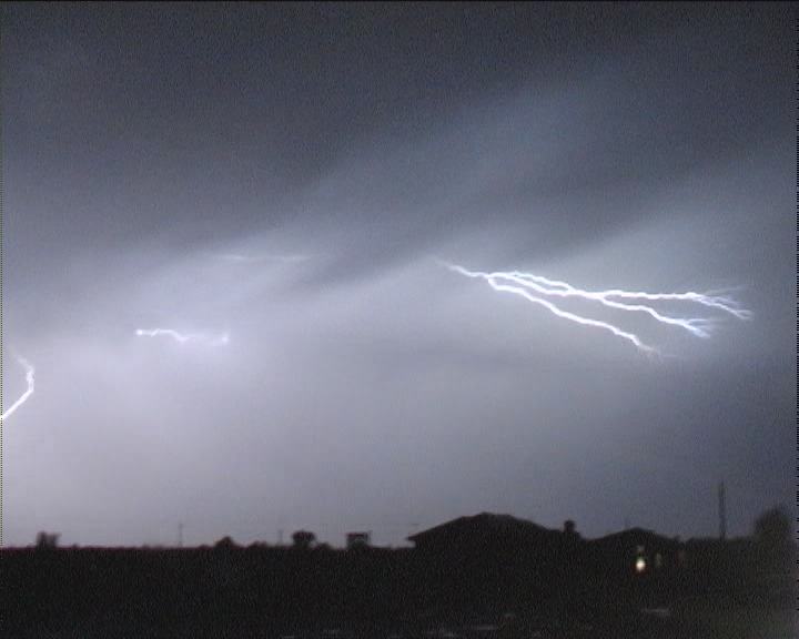
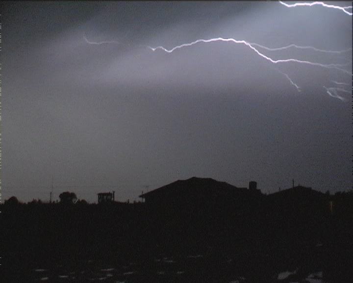
I was gradually heading towards Griffith on Friday afternoon. It wasn't really until just prior to sunset the action of storms that had exploded near Broken Hill rapidly moved southeast - destination Griffith. I moved towards the NW on the Highway that takes you towards Hay but about 70km from Hay. It was about 7:30pm - 8pm at this time. I remained in that position for some time but observing lightning. About 9pm, the storms rapidly moved over and I made my way back to Griffith through some heavy rain areas. Some incredible lightning behaviour - perhaps not all frequent but nevertheless worth the drive out to enjoy. After a few stops, I made my way through Griffith. It was about 10pm and the storm was on its way motoring southeast. I captured a few anvil crawlers from the back end. There were more storms and heavy rain during the night.
Saturday, I had no access to internet as it was down due to storms so I used information from Jeff and Matt to make my way towards Parkes. I saw some storms to the east, the remnants of the activity that had passed through overnight and the early hours of the morning. Finally making it to Parkes by 12:30pm, storms approached but were not impressive. This action blacked out parts of Forbes. It was the action further behind the cloud band that rapidly developed towards late afternoon and evening and rapidly became active during the night period. Some of these storms may have been severe but having been too tired from the previous day, I did not give chase letting the storms go.
From Bureau of Meteorology at 3pm to 11pm local
From NOAA 09/09/2005 06z analysis
|
Document: 200509-03.htm Updated: 21st September, 2005 |
[Australian Severe Weather index] [Copyright Notice] [Email Contacts] [Search This Site] |