and Chasing
[Index][Archives]
Northern Rivers Storm Outbreak Part One: Friday 21st to Monday 24th October 2005
Report compiled by Dave Ellem and Michael Bath
| Storm News and Chasing [Index][Archives] |
Northern Rivers Storm Outbreak Part One: Friday 21st to Monday 24th October 2005 Report compiled by Dave Ellem and Michael Bath |
Friday October 21st
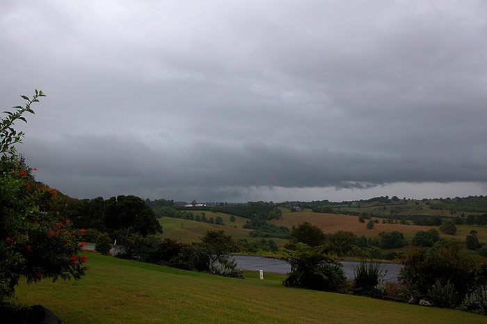
After a spell of boring weather, Friday the 21st looked like it would finally
bring some decent thunderstorms to the Northern Rivers. There was plenty of
instability (LI around -4) and good wind shear with a nice upper trough approaching,
however cloud was a concern. A thick cloud band had developed the previous day
and had moved over the Northern Rivers during the early morning. Imbedded in
the cloud band was a line of surprisingly lightning active thunderstorms. The
line was quite slow moving and it soon became apparent that the cloud was likely
to clear too late to allow enough heating for afternoon storms to develop. But
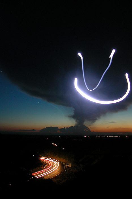
the morning storms were still quite good. Around 11.30am a weak gustfront started
to appear to the west.
There were fairly regular rumbles of thunder overhead now, however there were
a surprising amount of CGs hitting within a few kilometres of me, letting out
really loud cracks of thunder that were quite startling at times. However there
was on strike that I will never forget! With light rain falling ahead of the
gustfront, and a generally weak, messy looking storm, I thought it was not real
risky climbing onto the roof for a photo of the gustfront approaching.
As I climbed up to the second story roof on our house for a photo, I heard a
fizzzzzzzzzzzzzzzzzzzz BANG!!!!!!!!!!!!!!!!!!! I was momentarily blinded by
the intense flash of light before it clicked what had happened. A CG had hit
just near the road in front of my house - less than 50 metres away from me!!
It was the closest CG I have encountered while being out in the open, and it
did not take much (any!) convincing for me to immediately dive into the open
upstairs window to get under cover! I was actually quite shaken by the experience,
and my dog, who hates storms, had gotten such a fright from the crack that he
had vomited all over the carpet. Yuck! So after getting that cleaned up, attention
turned back to the storm, with several more close CGs pounding the area and
taking out the power at Wollongbar. All up the storm produced 29mm of welcome
rain at my location, and despite the cloud clearing too late for better storms
that afternoon, I was thankful that I was actually still alive!
Some storms moved slowly into the western parts of the Northern Rivers late
that night, with quite frequent lightning observed at times, so I headed out
on chase with Rodney. However cloud cover and weakening storms meant that we
were pretty much left with nothing by the time we got to Parrots Nest, south of Lismore.
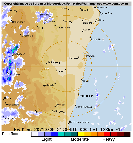
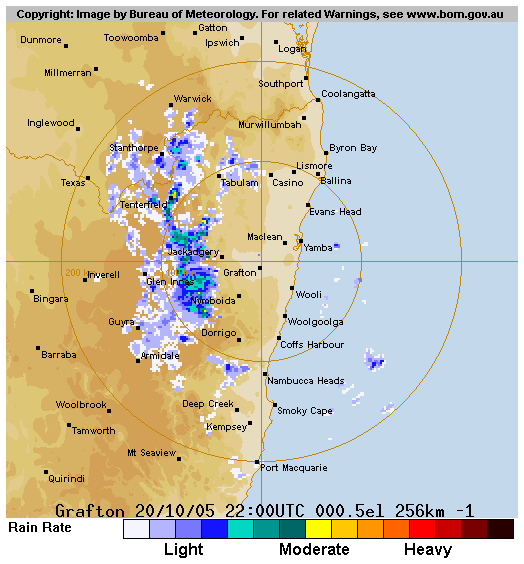
Saturday October 22nd
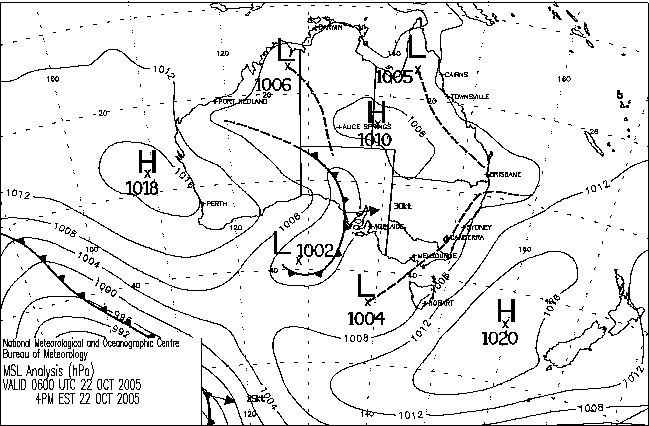
What a difference a day makes! The upper trough which had triggered storms
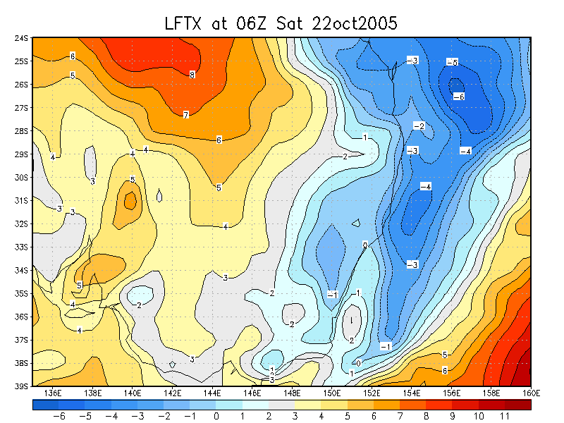
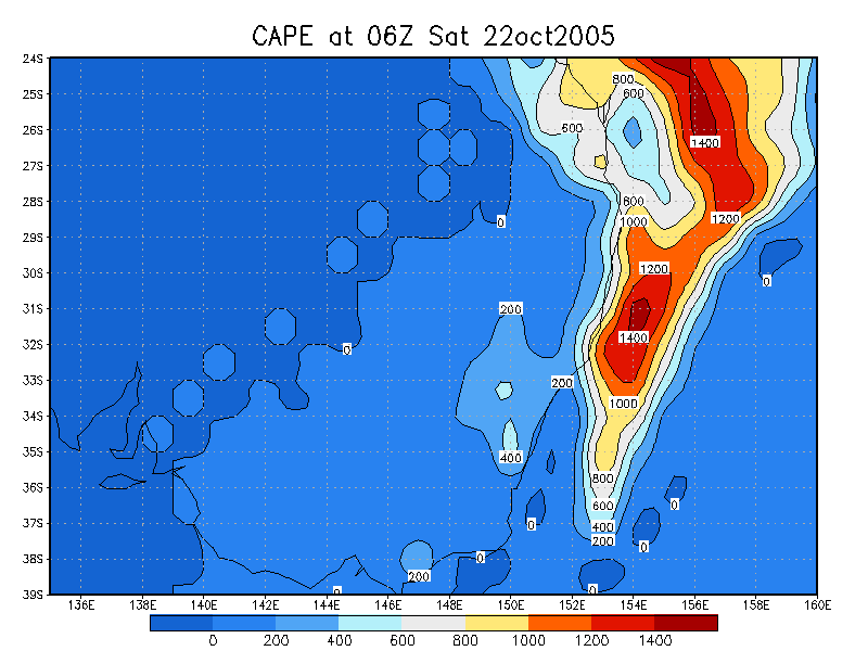
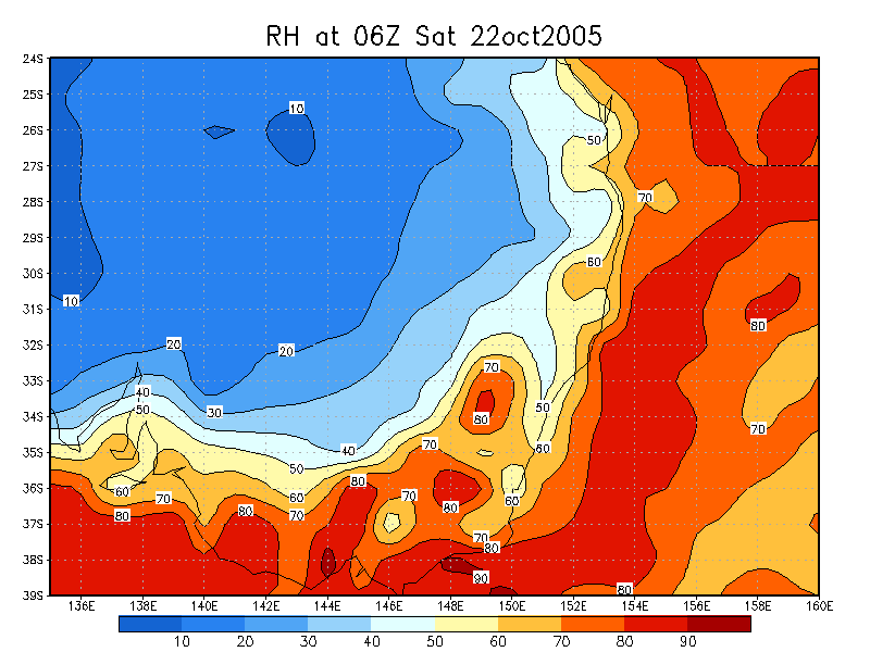
the previous day was still lingering over the coastal fringe of the Northern
Rivers and Mid North Coast, with CAPE values around 1000 right on the edge of
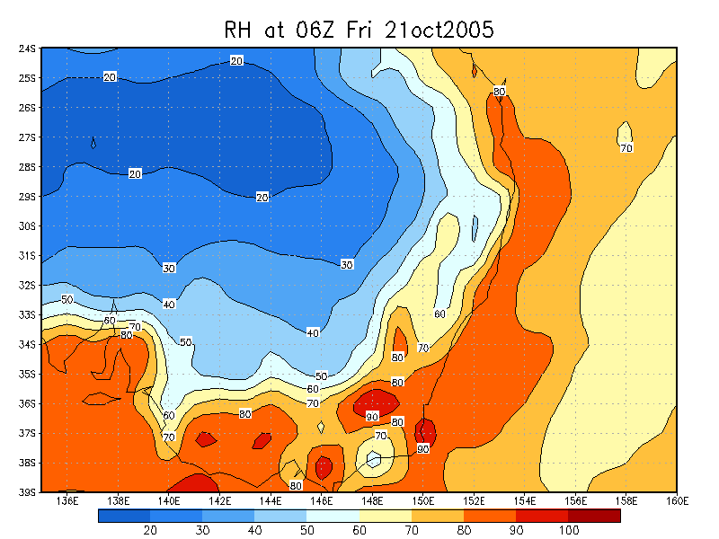
the coast. Moisture had really dried out from the previous day though, allowing
for surface temps to get to around 30c. However it was so dry that only weak,
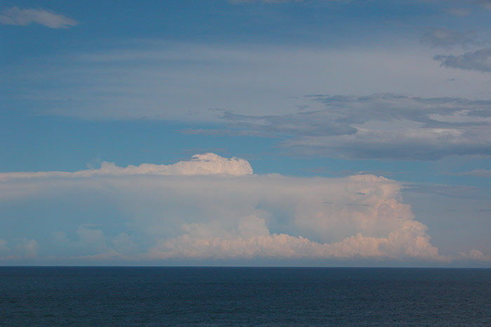
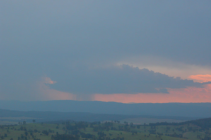
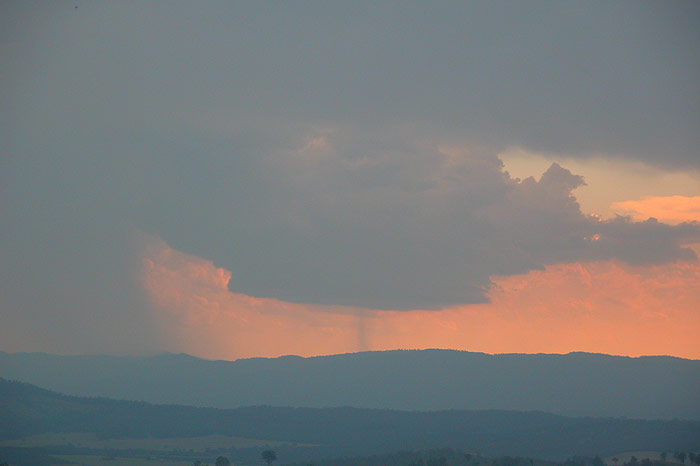
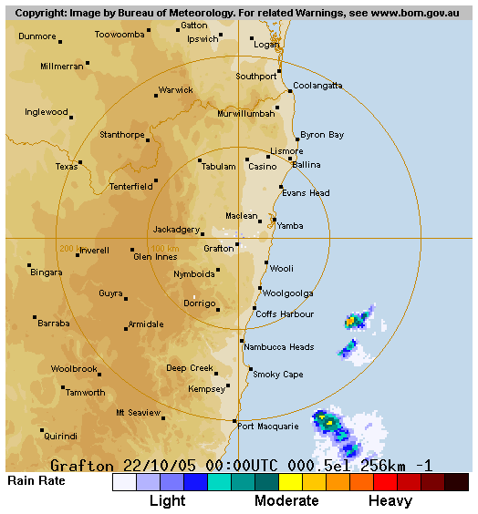
moisture starved storms developed and were confined right to the coast. There
was some nice looking convection down around the Wooli area in the afternoon
at one point, with a severe thunderstorm warning issued given the risk of damaging
winds and large hail with the dry but cold upper atmosphere.

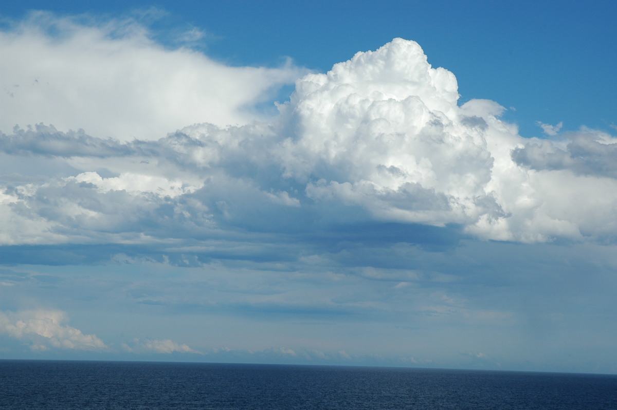
Michael, Beck, Rodney and I all ended up at the lookout at Broadwater to observe
some of these storms, including quite a powerful looking one offshore, during
the afternoon. The activity mostly cleared out to sea by late afternoon.
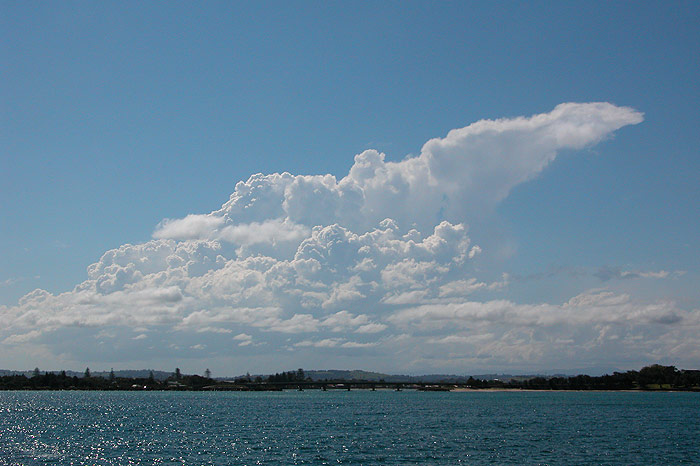
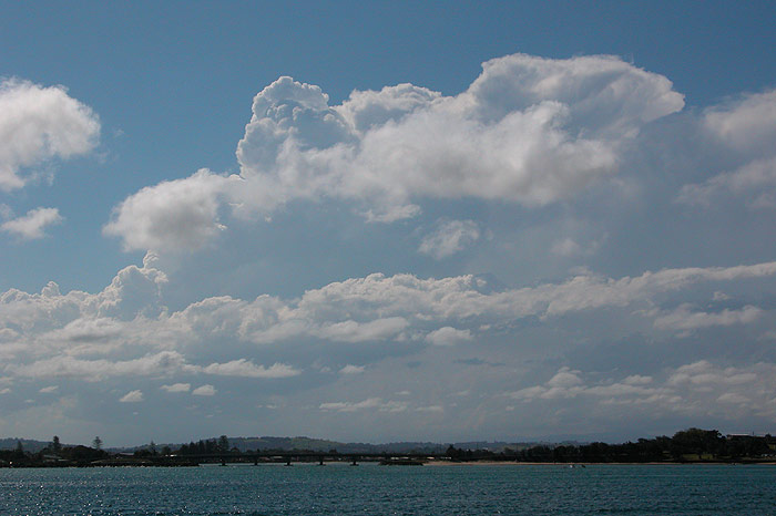
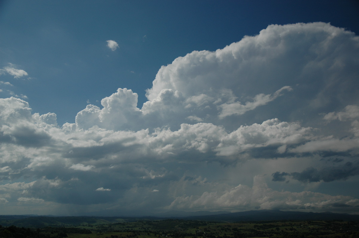
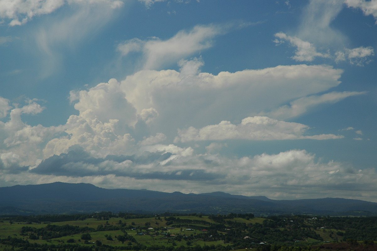
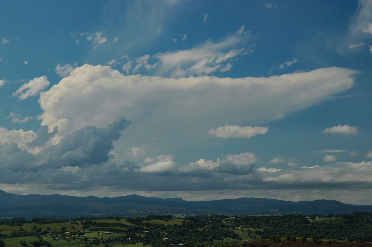
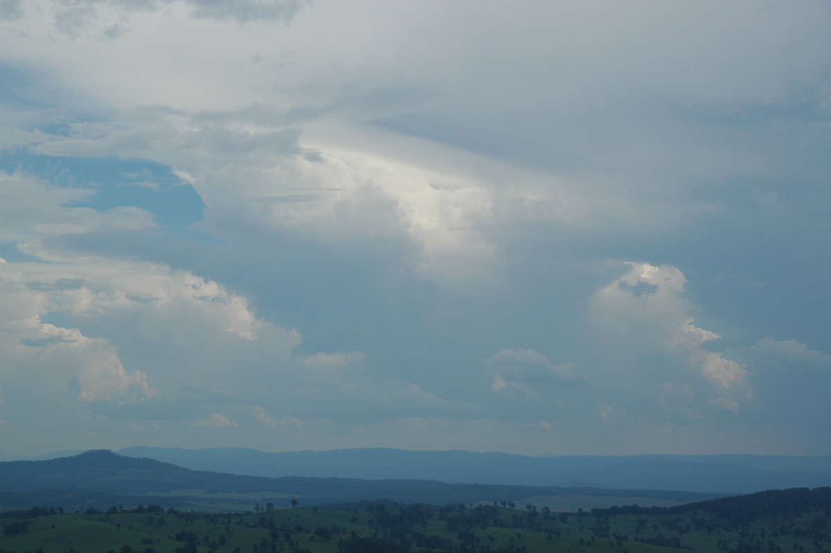
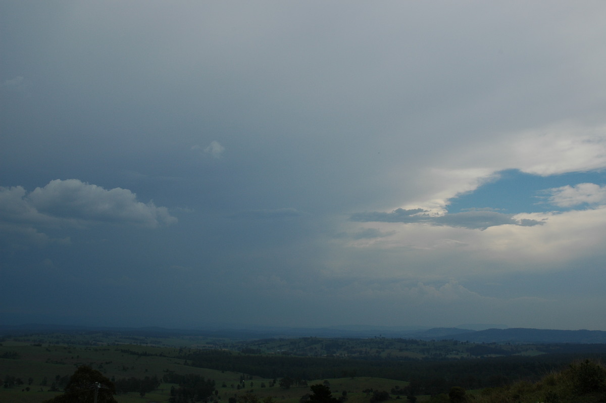
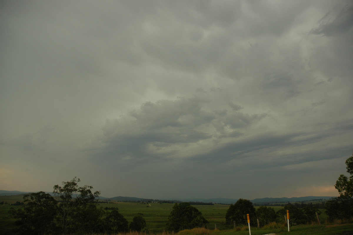
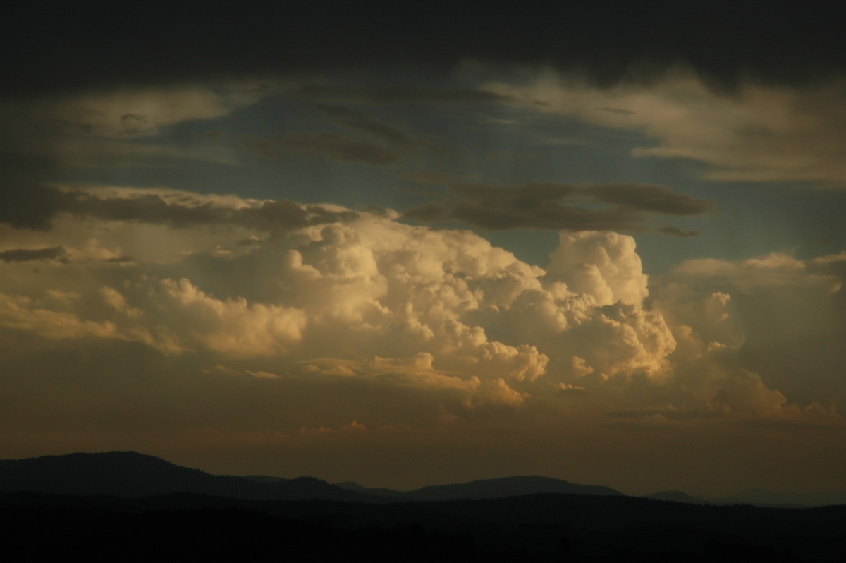
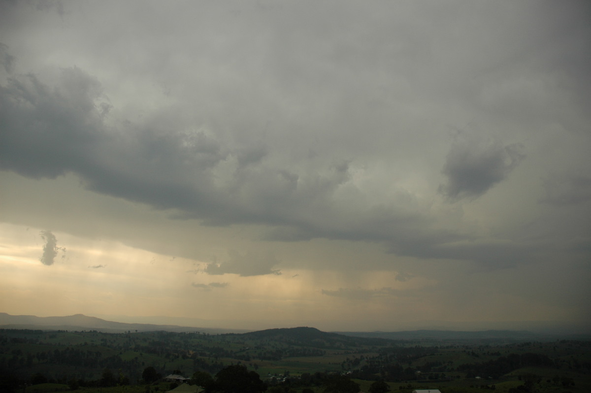
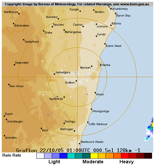
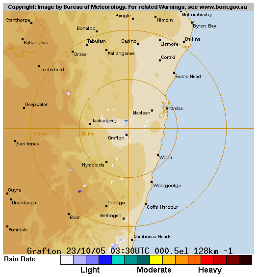
Sunday October 23rd
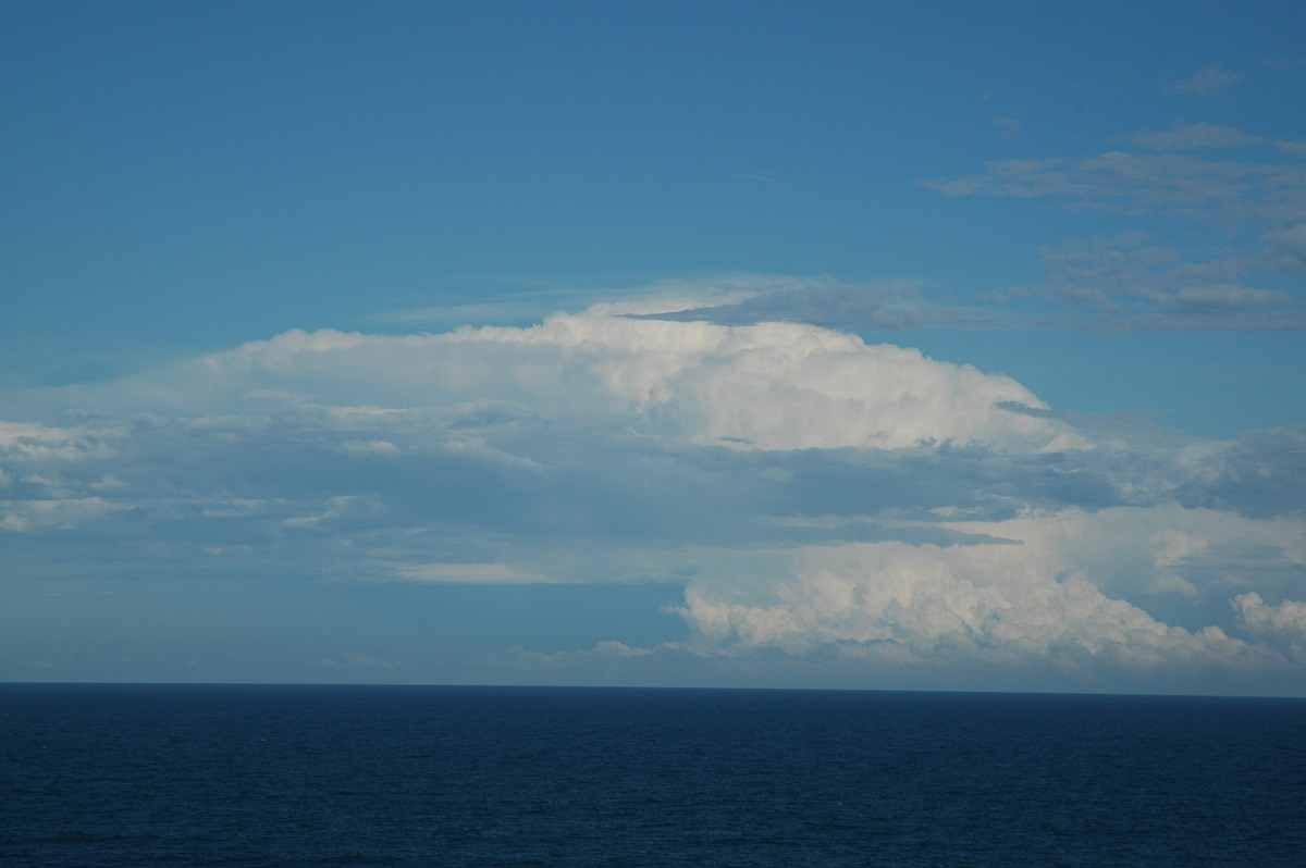
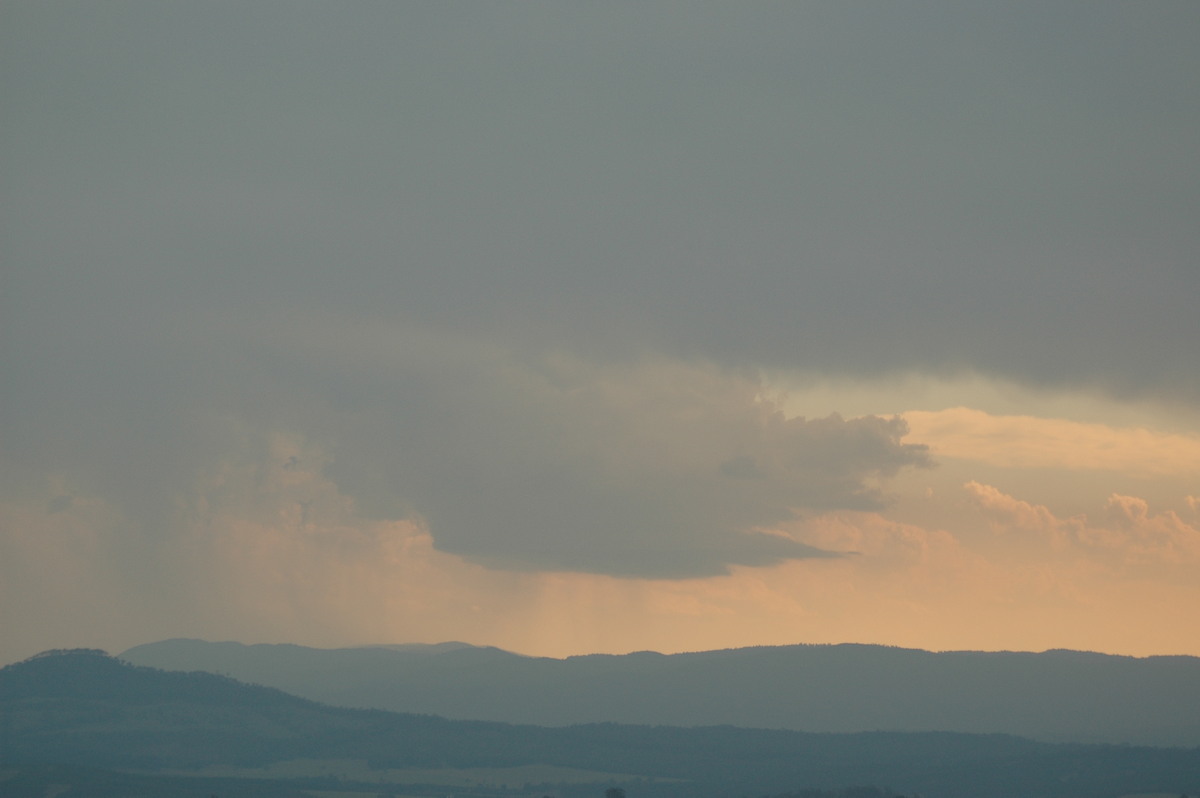
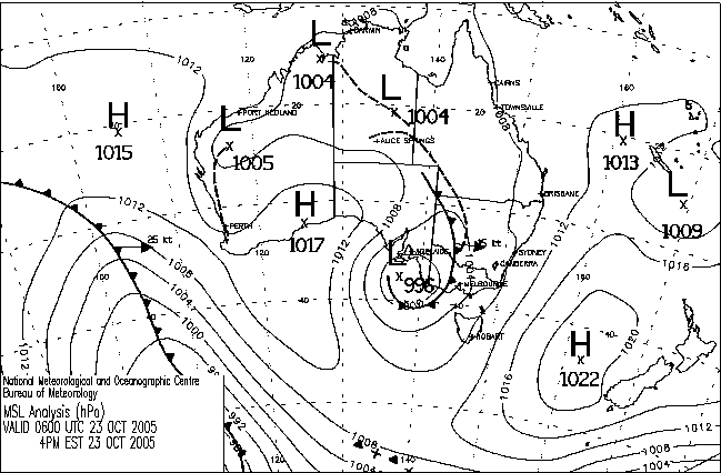
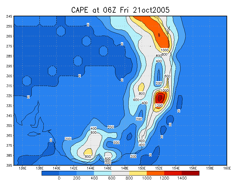
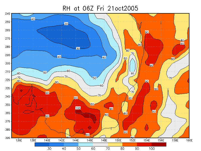
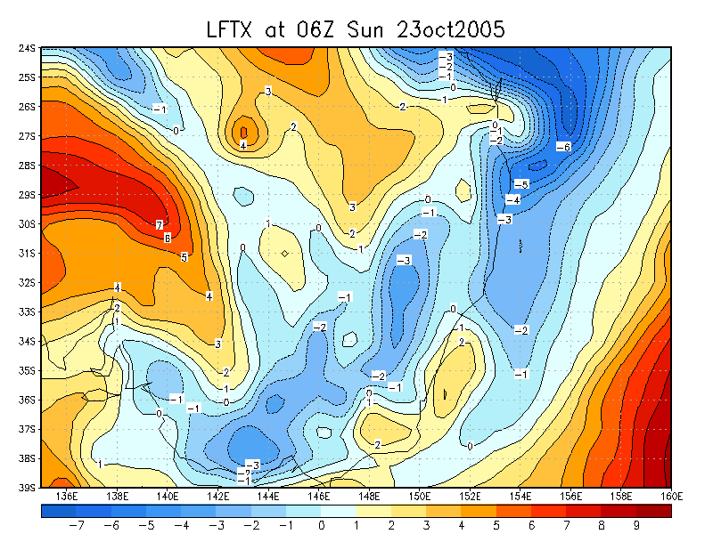
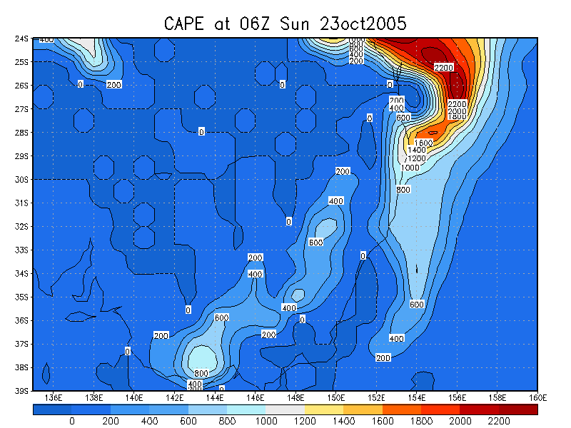
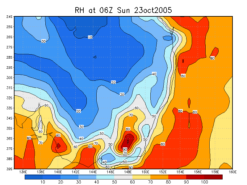
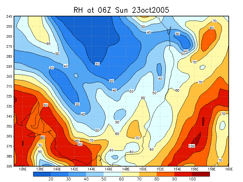
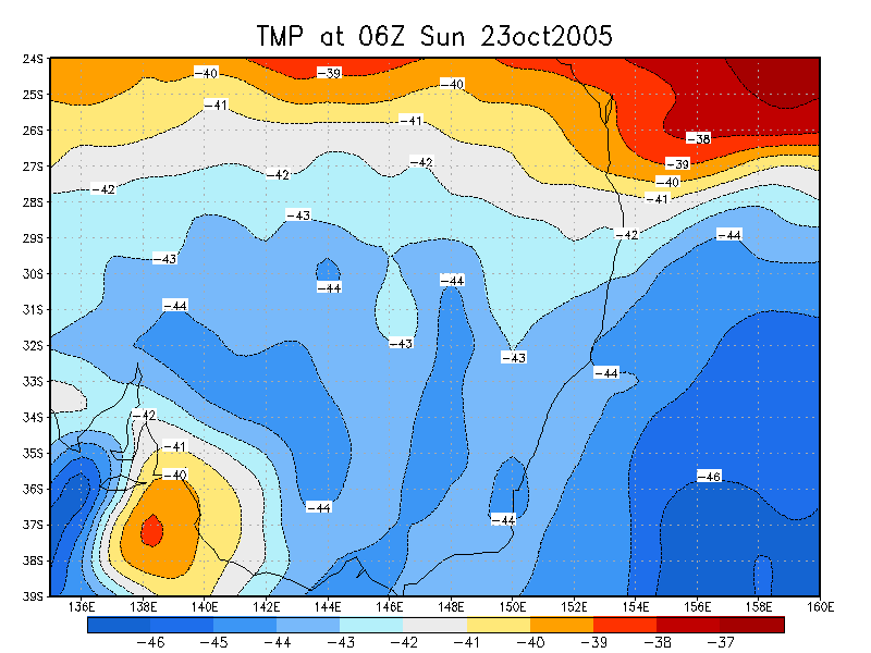
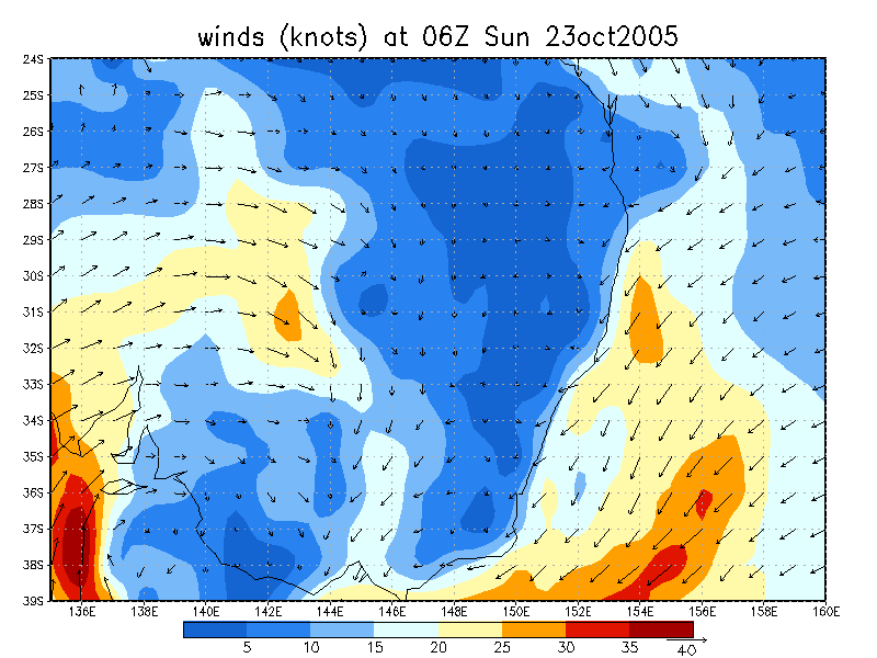
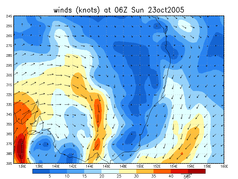
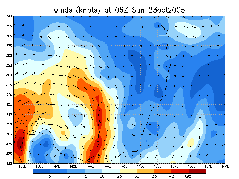
The offshore trough had retreated inland a little by mid Sunday, bringing CAPE values back up to around 1500 j/kg and LI values down to around -4 right on the coastal fringe of the northern parts of the Northern Rivers. Moisture was a real problem now however, with a significant dry slot at around 700hPa. This prevented most of the convection near the coast during the afternoon from fully developing into thunderstorms. I spent the afternoon fishing down at Ballina and watched as a cell to my NW produced numerous turkey towers and orphan anvils as it tried, and tried, and tried to develop into a thunderstorm.
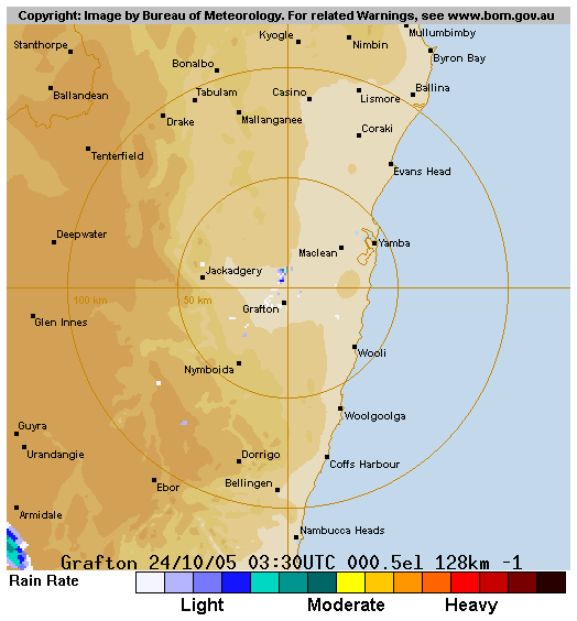
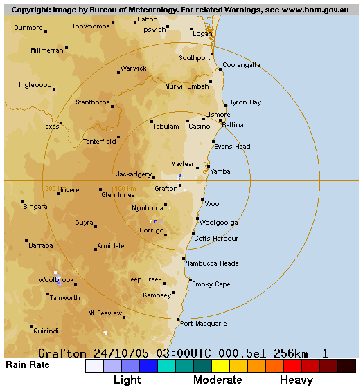
Monday October 24th
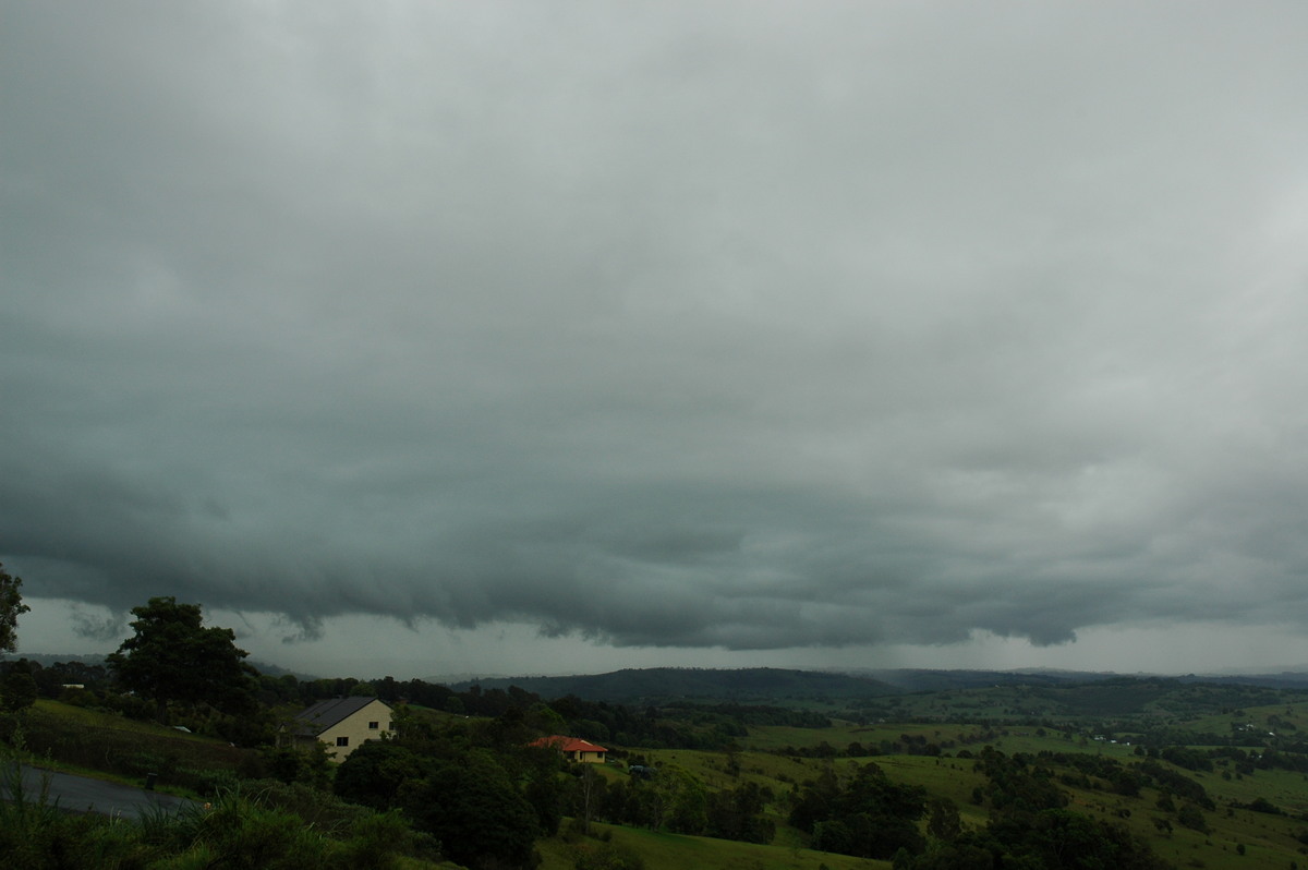
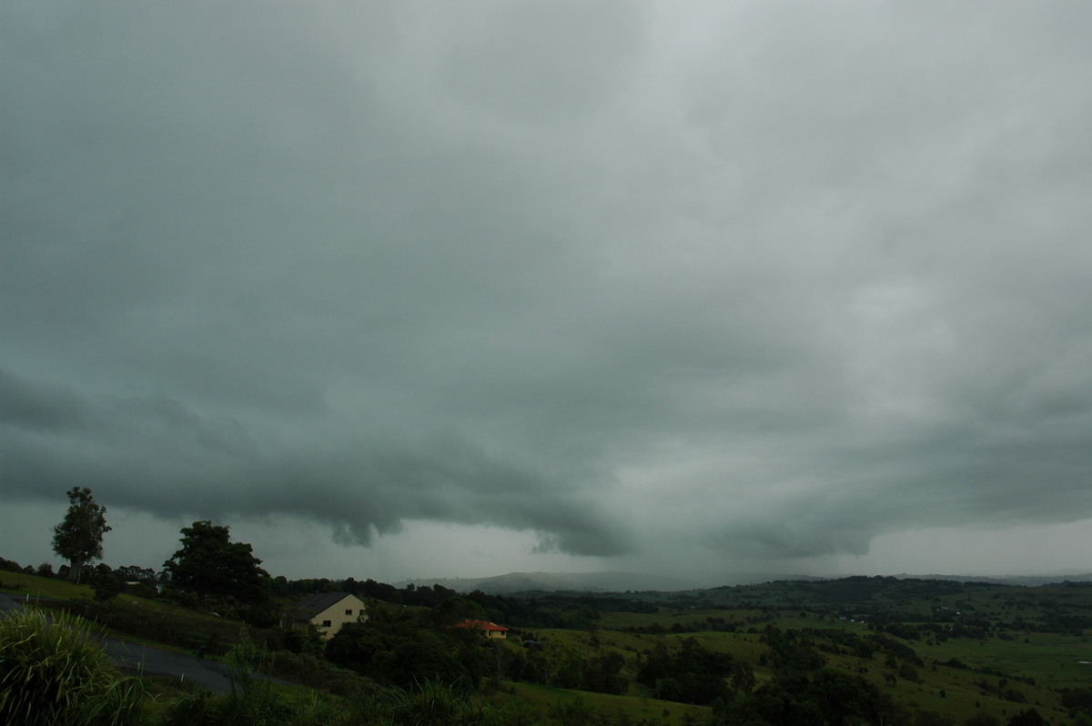
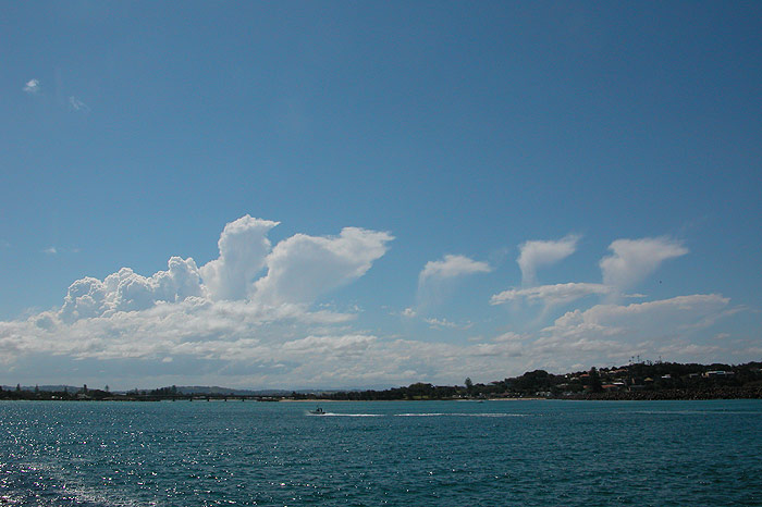
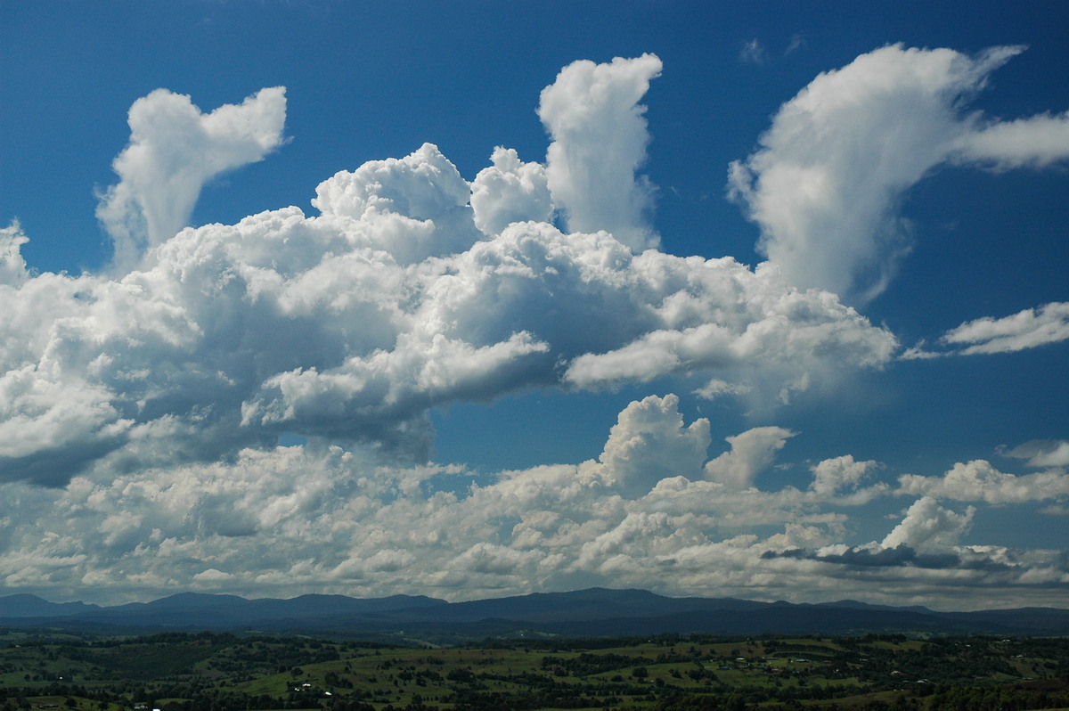
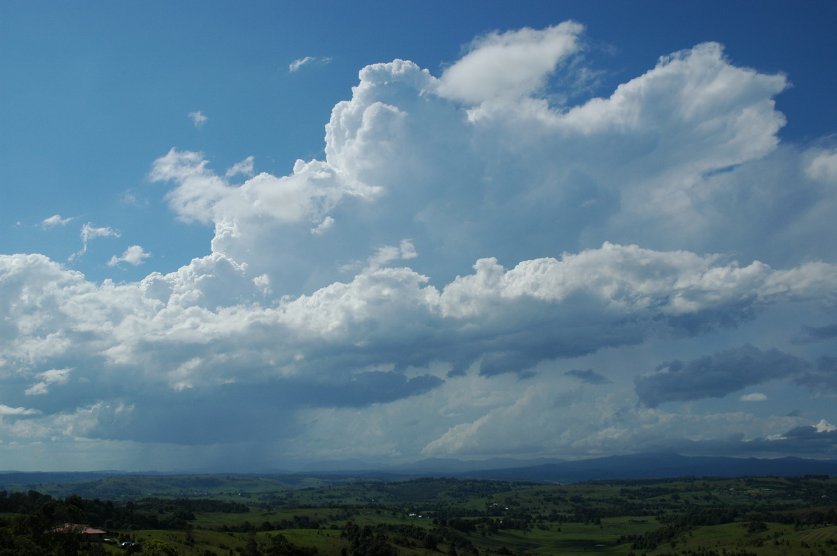
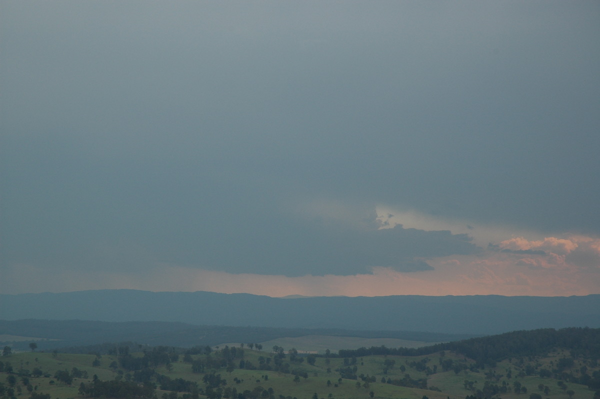
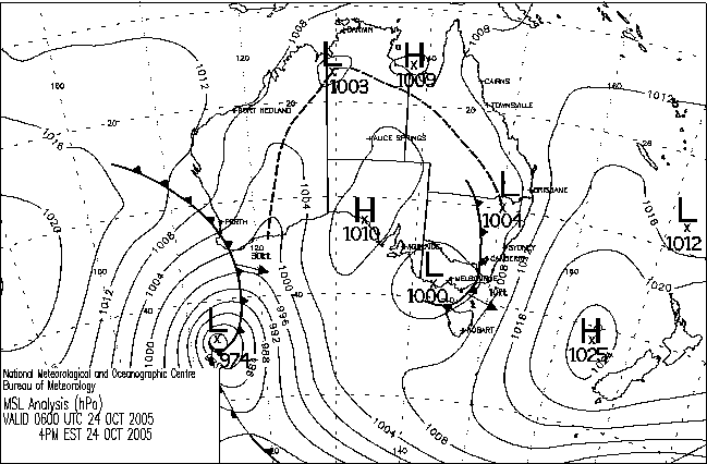
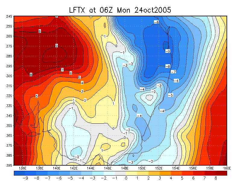
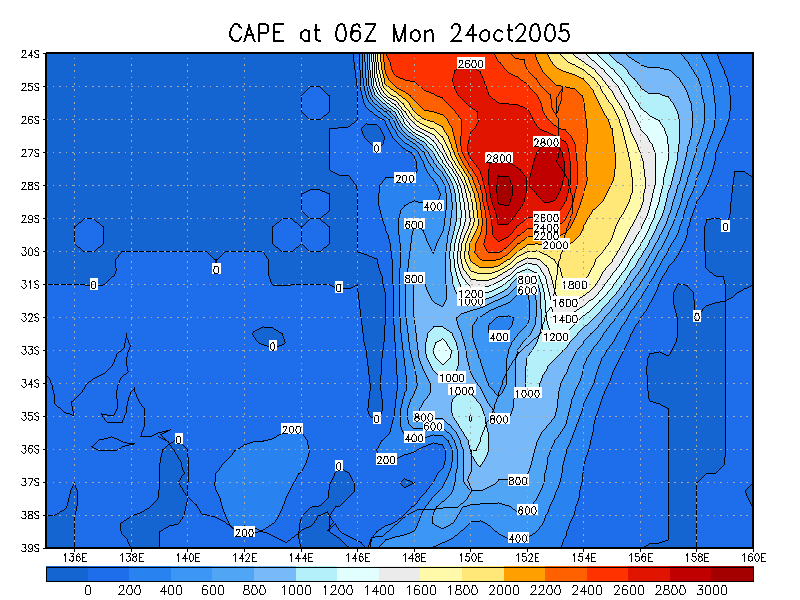
Today was looking set to be the first severe storm outbreak for the season.
LIs were down to -8 in the Northern Rivers, with CAPE values above 2500 - a
very unstable atmosphere. There was more good news however, with low level shear
rather strong as well as reasonable turning. In fact shear was strong enough
in Southern QLD and Northern NSW for the small possibility of tornadoes. Supercells
however seemed almost guaranteed, and would move generally in a SE direction.
There were two problems with the setup however - there was a lot of upper level
moisture, making cloud a concern, and upper level winds were rather slack, meaning
that any cloud that was around wouldn't move away too quickly. We were still
reasonably confident of severe storms in the Northern Rivers none the less.
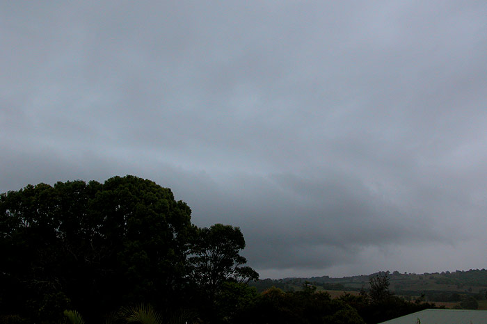
Michael and I planned to head out west of Casino as soon as he finished work
to get into position early. By the time we made it to Casino, cells were developing
right along the Great Divide, with very strong looking activity well to our
SW and NW. The sky above us was screaming unstable with the cloud formations
that were present!

Unfortunately, a strong storm towards Stanthorpe had developed and resulted in
a heap of anvil cloud moving over our target area at Mallanganee, and while strong
looking convection was present on the ranges to our west, it was obvious that
it was struggling given the lack of sunlight heating the ground. Storms to our
NNW and SSW continued to look quite strong, and it was really frustrating being
in the middle of it all with not much happening. We later learned the Stanthorpe
cell produced hail for 55 minutes and a large funnel cloud.
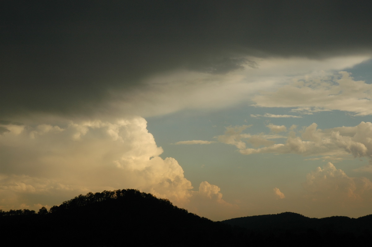
While a larger rain free base had persisted to our W for nearly the whole
time we, it wasn't till around 4.30pm that we noticed the storm starting to
take on features that would indicate the storm was rotating. Given the strong
low level shear it certainly wasn't out of the question! So our attention turned
to this cell with the Stanthorpe cell barely moving towards us. The evolution
of the updraft region of the storm was quite spectacular, but again, it was
so frustrating that it was fairly distant and not in a chaseable region. The
cell soon started producing some spectacular and very welcome CGs, and provided
some entertainment for the meantime.
With the possible supercell to our WSW decaying and the storm to our NW very
slowly approaching, we decided to push further west to Tabulam to intercept
the cell. We observed a strange scuddy region on the cells southern side, but
that whole storm was very messy looking. It was however very lightning active,
with some amazing anvil crawlers going overhead and some CGs hitting not too
far away!
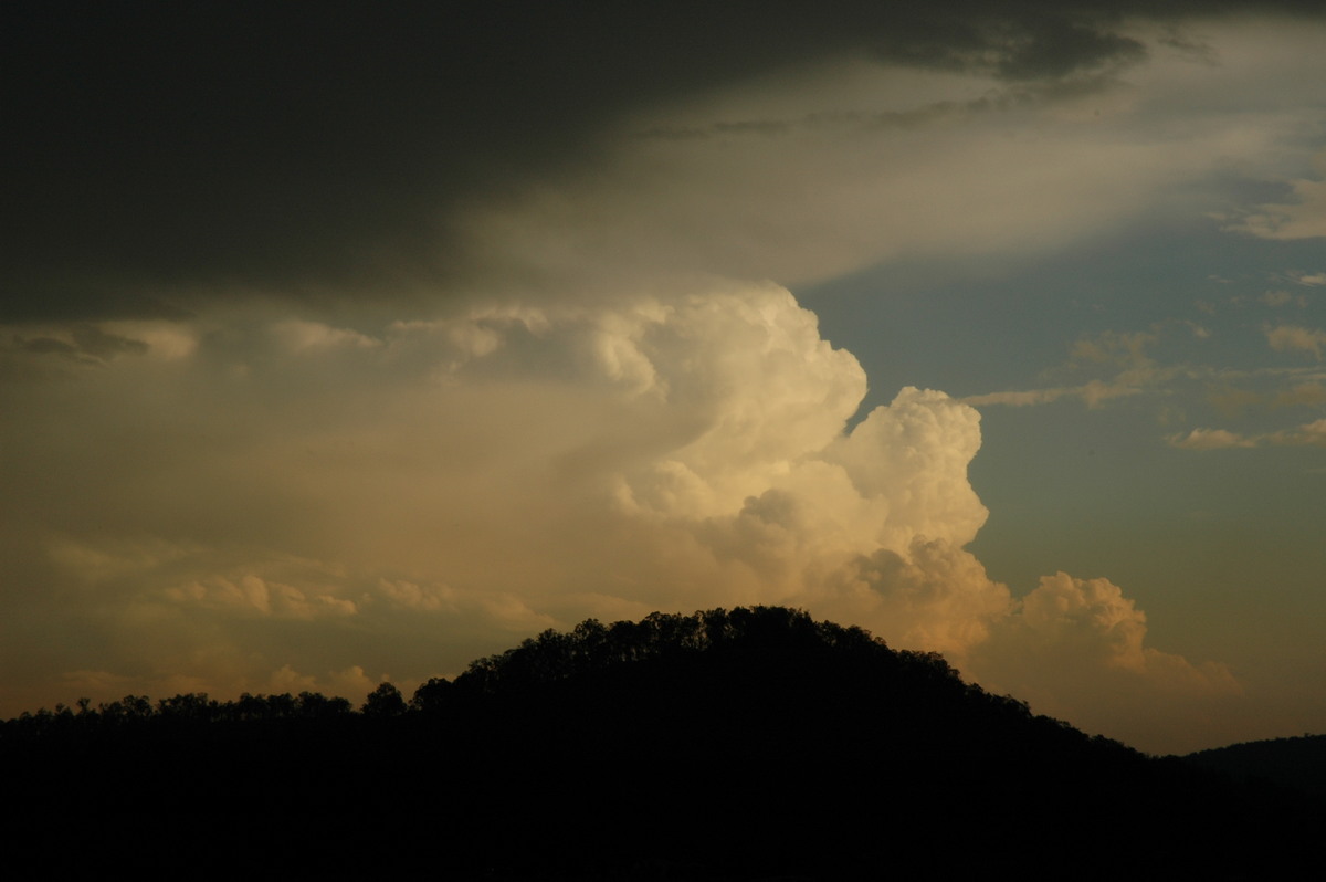
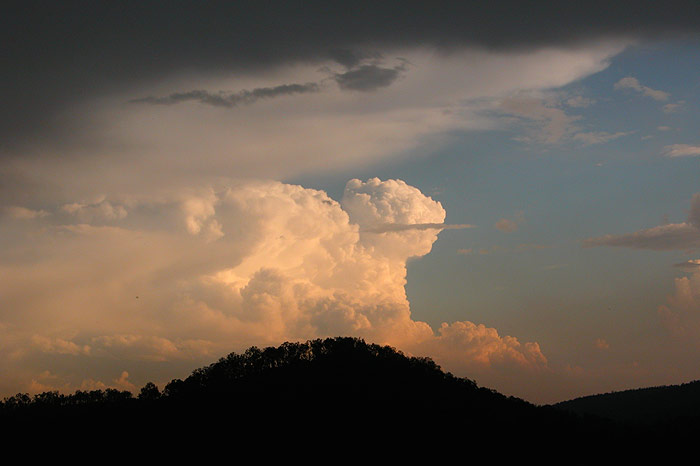
Our attention was also snapped up by a cell to our S. Spectacular updrafts were
exploding upwards at the rear of the storm, and were made even more photogenic
by the late afternoon sunlight. Radar later revealed that the possible supercell
we observed had in fact split. The left mover (the one we photographed) had
decayed earlier, but we later discovered that the cell we were watching explode
to our S was in fact the right mover of this splitting pair. It was rather impressive
given how long that storm had survived from its initial updraft!
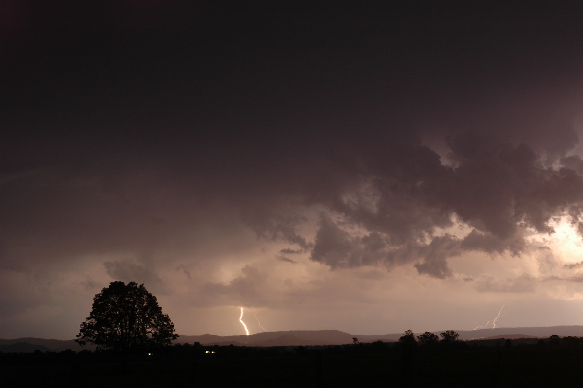
The cell to our NW looked very weak and didn't seem to be moving, so we
headed back to Mallanganee for a radar update to decide whether the strong storm
to our S was chaseable. On the drive back, bright purple glows would occur behind
us, giving quite an eerie, but exciting feeling! These CGs continued when we
arrived at Mallanganee, and were spectacular to watch given the elevation of
out position. At the time, our high location next to several communication towers
was perhaps a little discomforting, and every time lightning occurred in the
cell to our NW all the equipment around us made a loud buzzing noise! Radar
revealed that the activity to our NW was still messy and hardly moving, and
the cell to our S was moving SE, so it was not able to be chased.
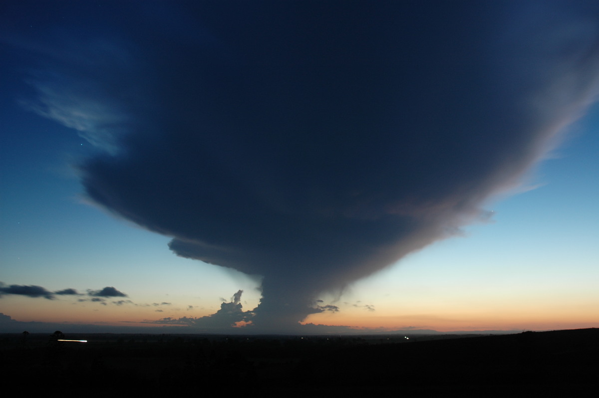
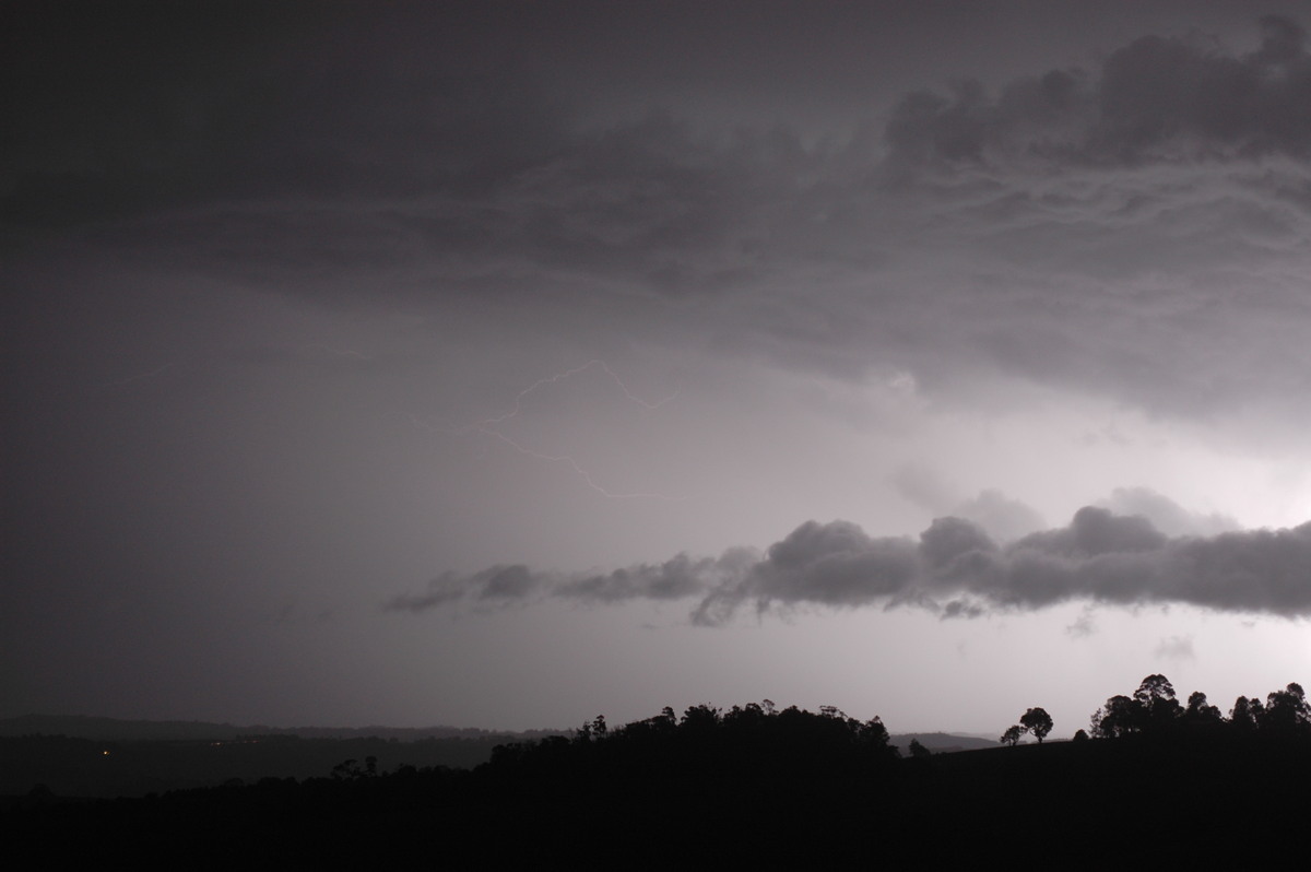
We decided to head back to Casino and grab some dinner. As the sky grew dark,
attention turned to lightning photo possibilities, and with activity surrounding
us, we decided to setup the cameras NW of Casino. There were some close strikes
from a short lived cell close by, however most of the activity was further to
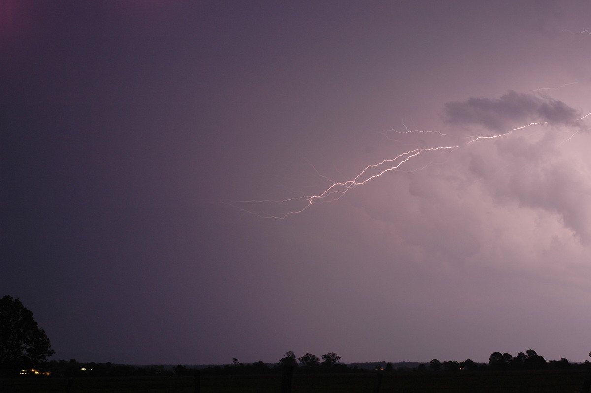
our N, S and W. While it was hard to photograph the lightning, there were some
amazing anvil crawlers that seemed to go in every direction across the entire
sky, lasting 3-4 seconds in total! So the show was quite enjoyable despite the
lack of close activity.
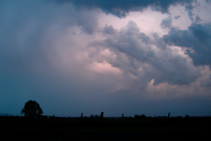
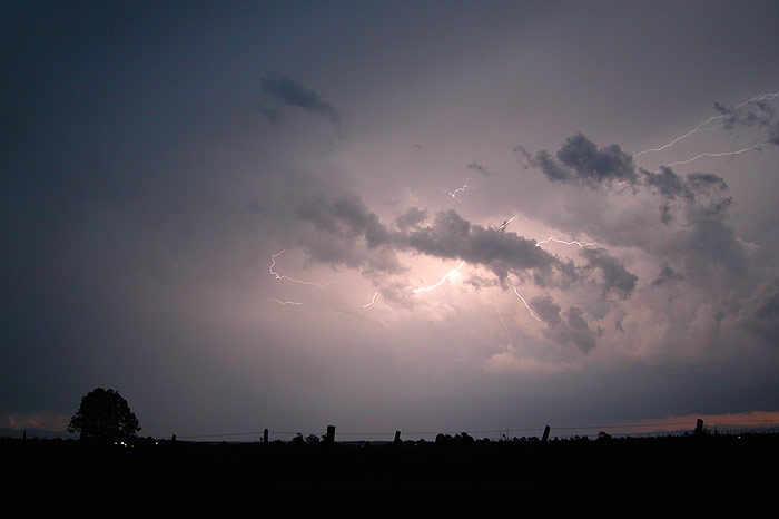
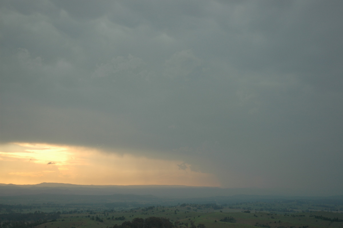
We call it quits around 8.30pm when light rain made photographing the lightning
too problematic. The storms eventually moved over, providing some spectacular
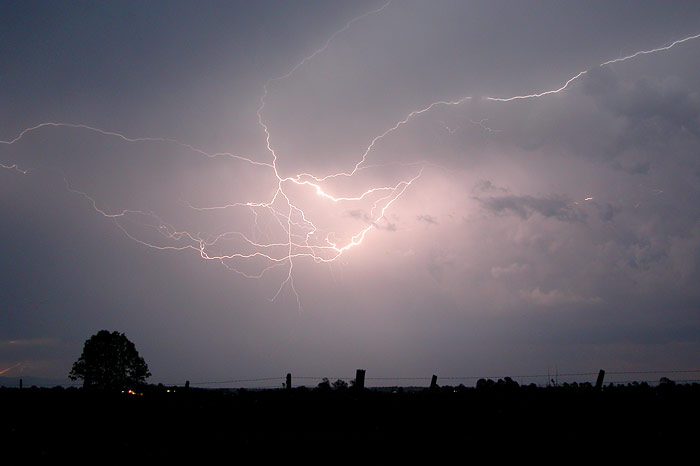
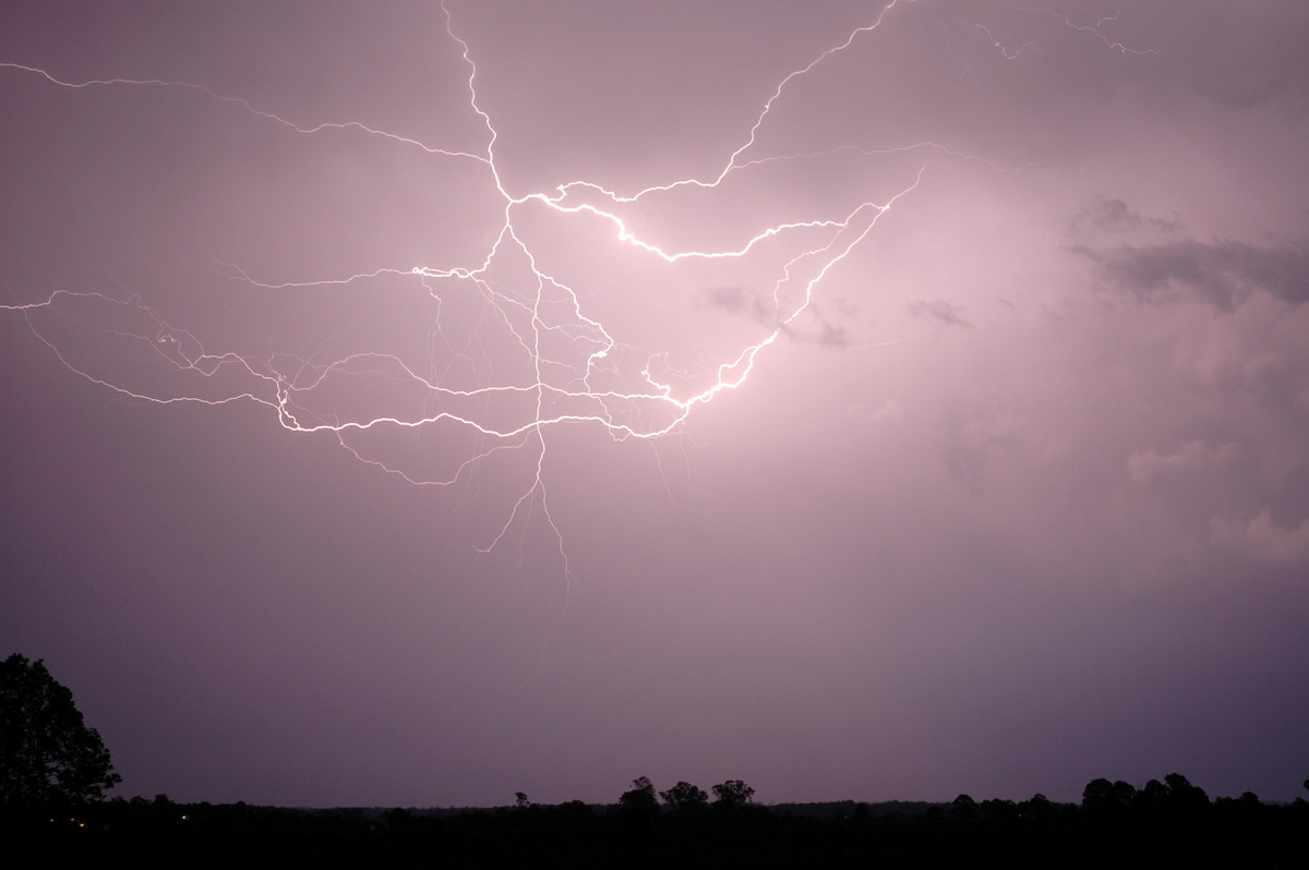
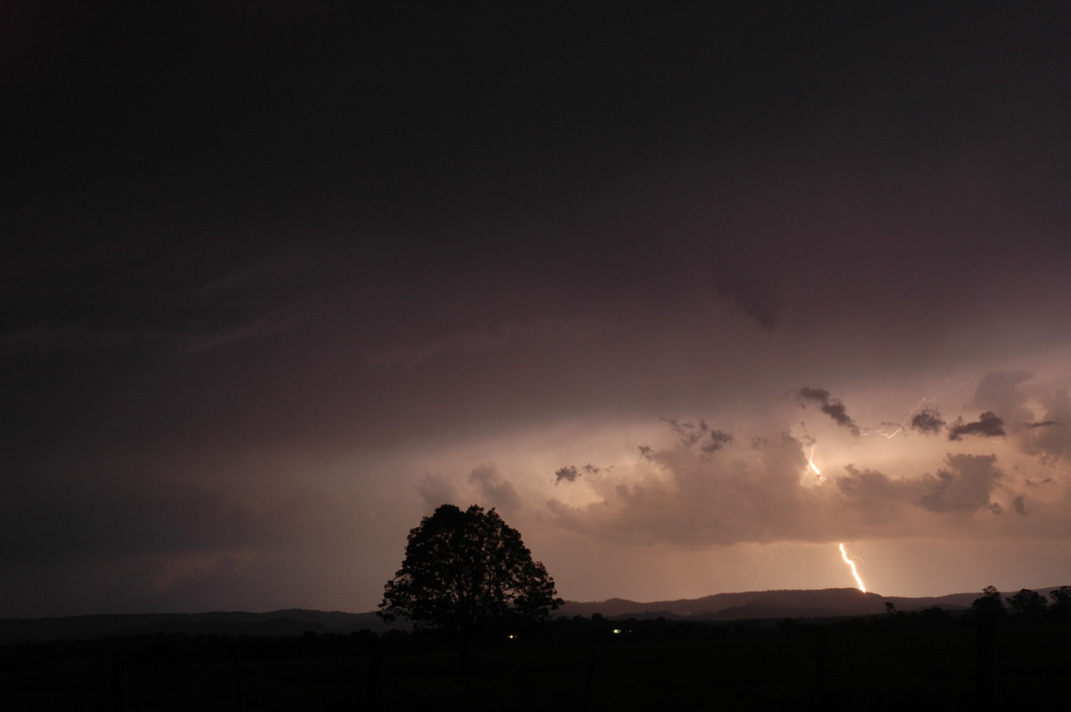
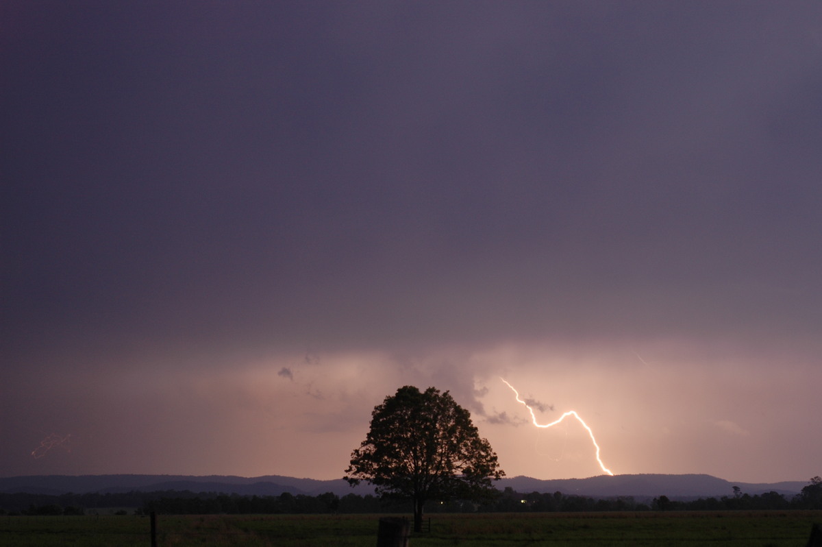
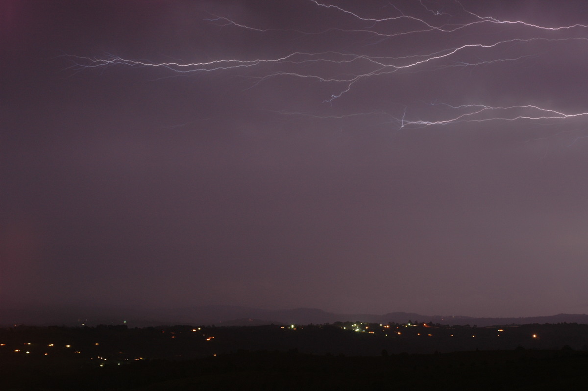
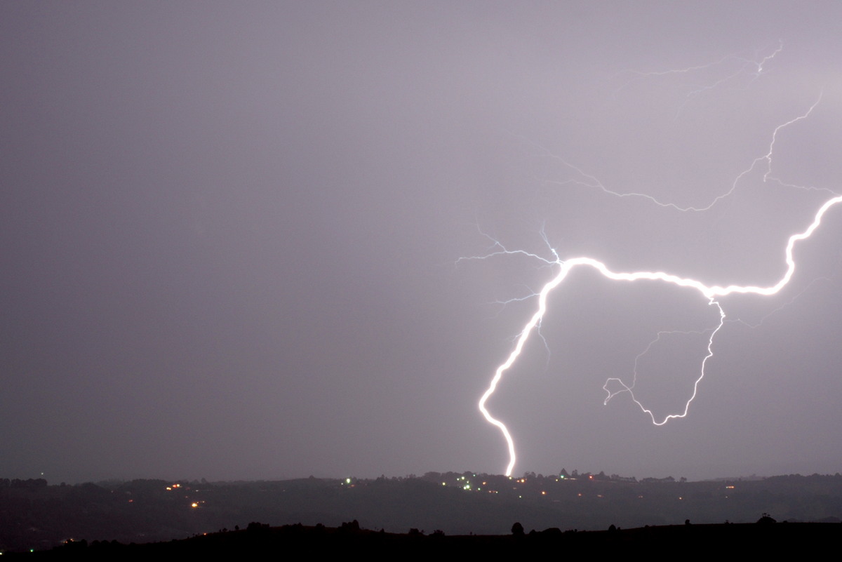
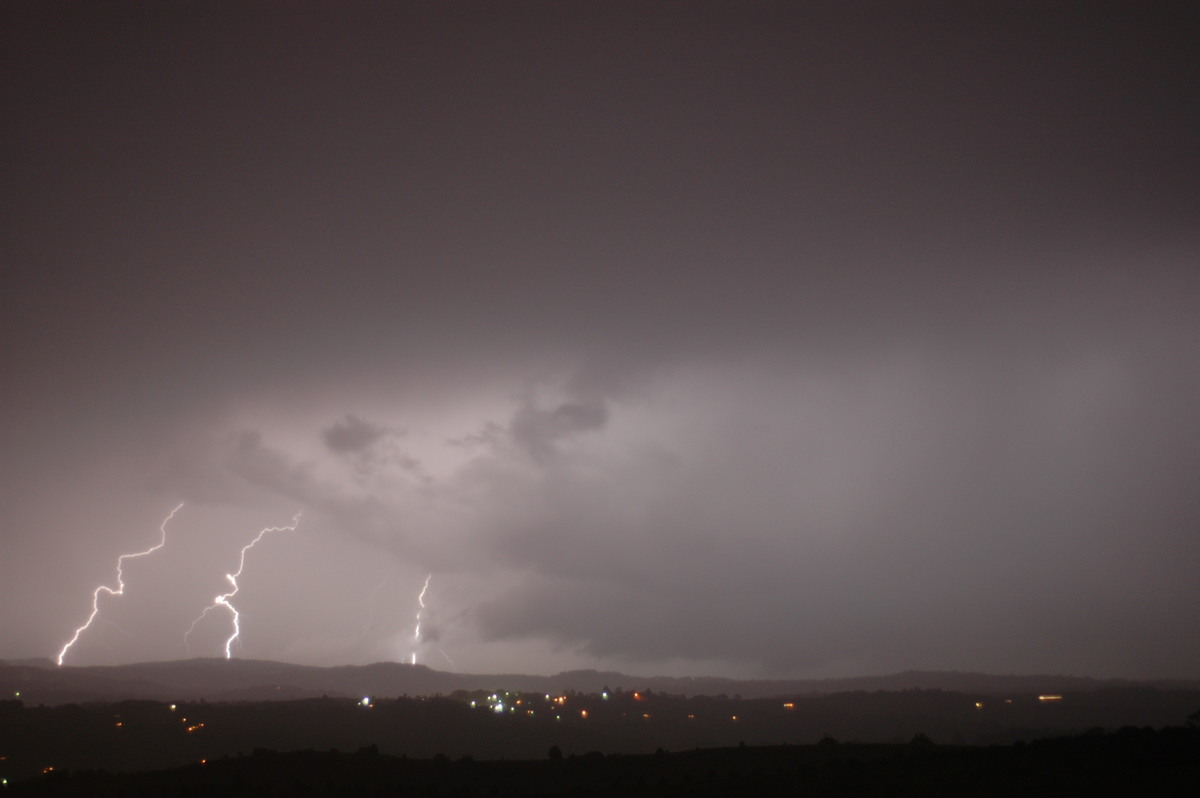
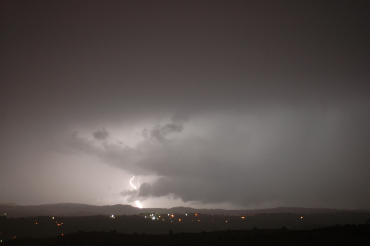
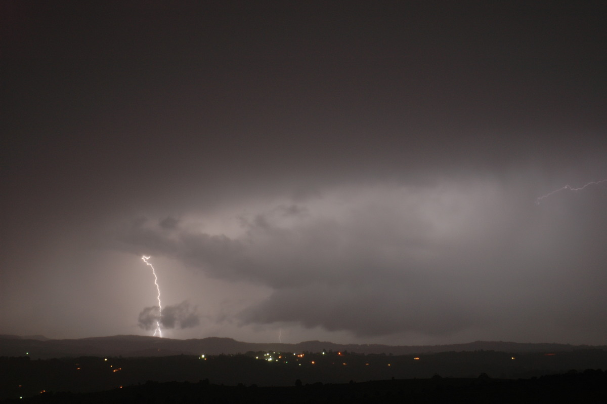
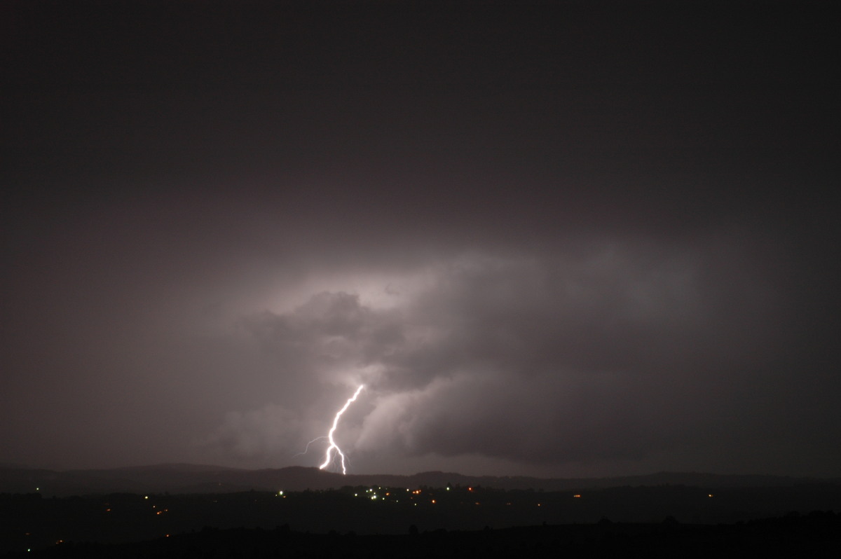
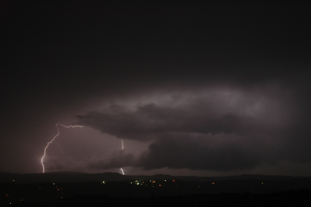
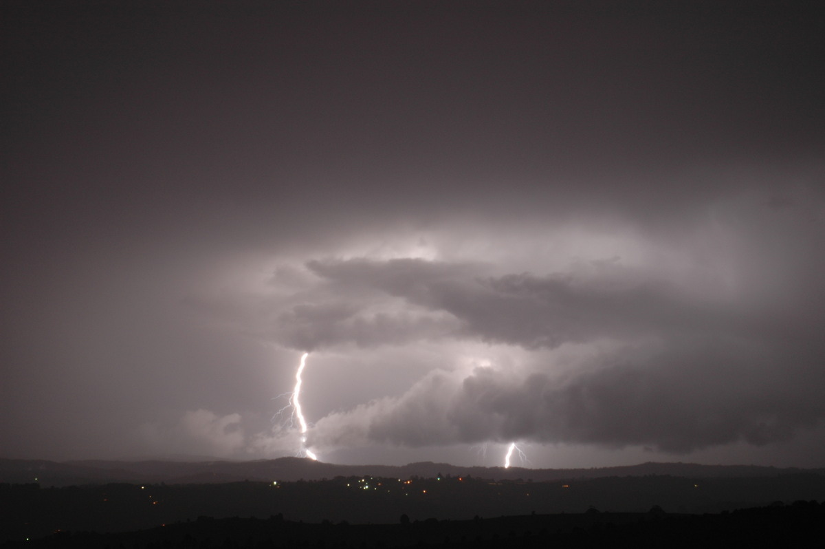
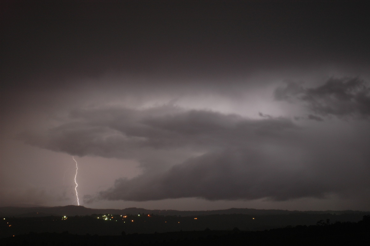
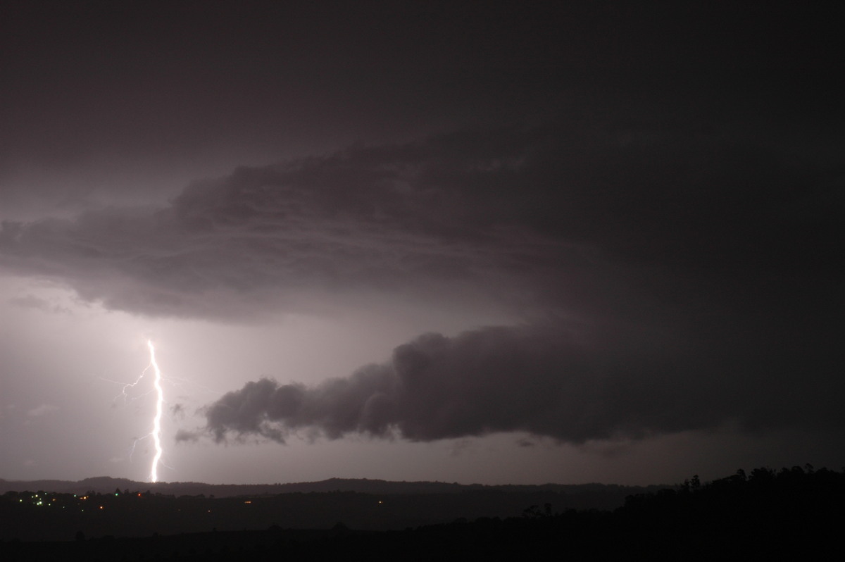
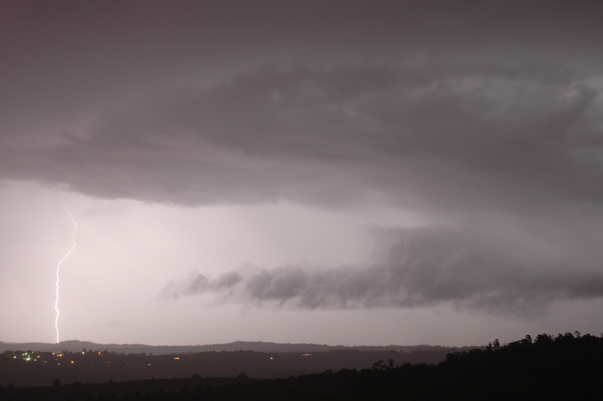
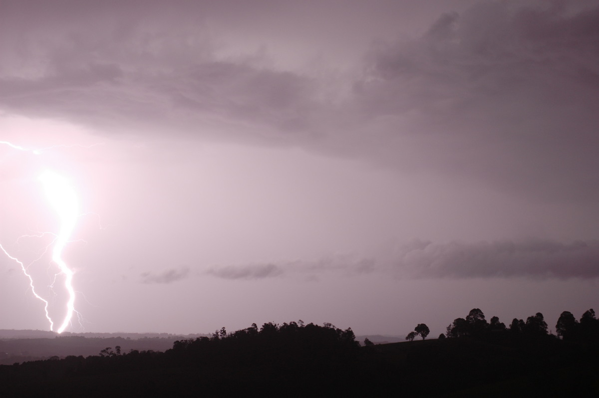
lightning right near our homes. Below are some of the lightning bolts captured, mainly from a SE moving storm that gave severe weather at Murwillumbah.
Eventually all the activity moved out to sea.
Check out Part Two of this 8 day outbreak of storms in the Northern Rivers.
From Weatherzone and MODIS: Land Rapid Response System
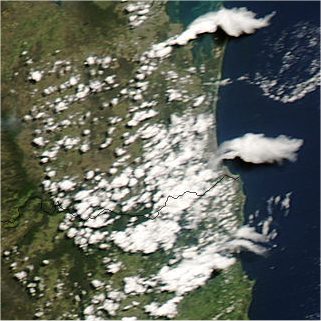
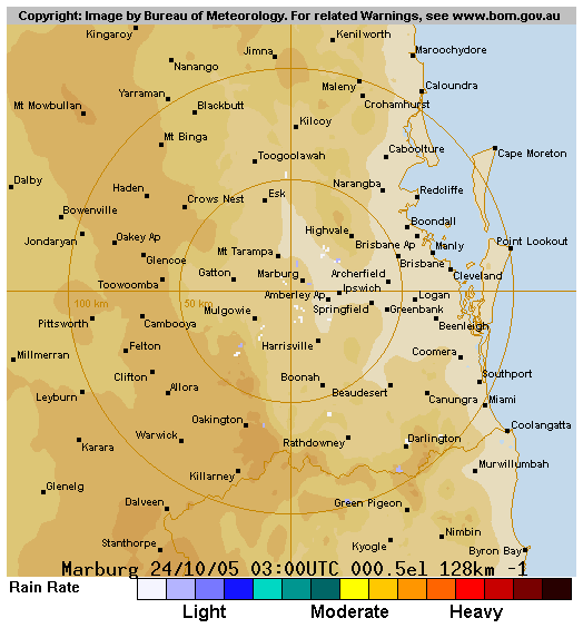
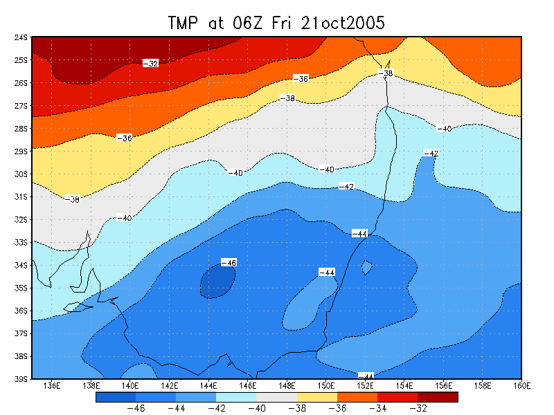
 10am 21/10 local
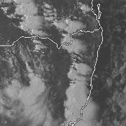
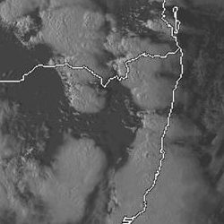
 (click for larger view) 1.25pm 22/10 local
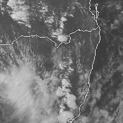
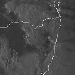
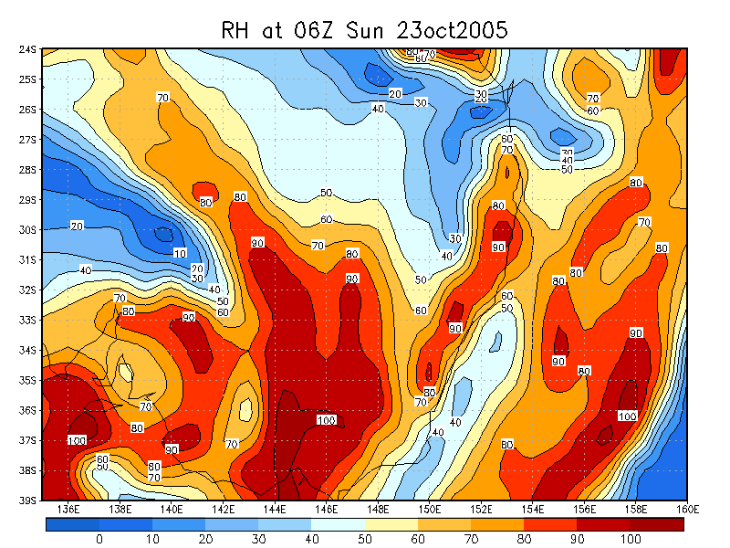
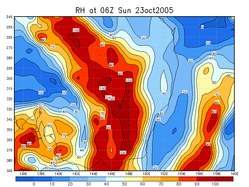
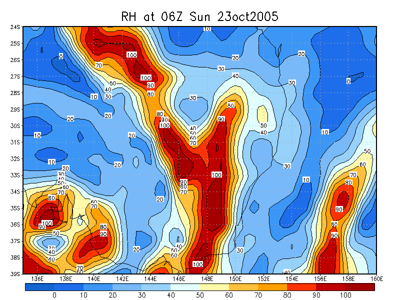
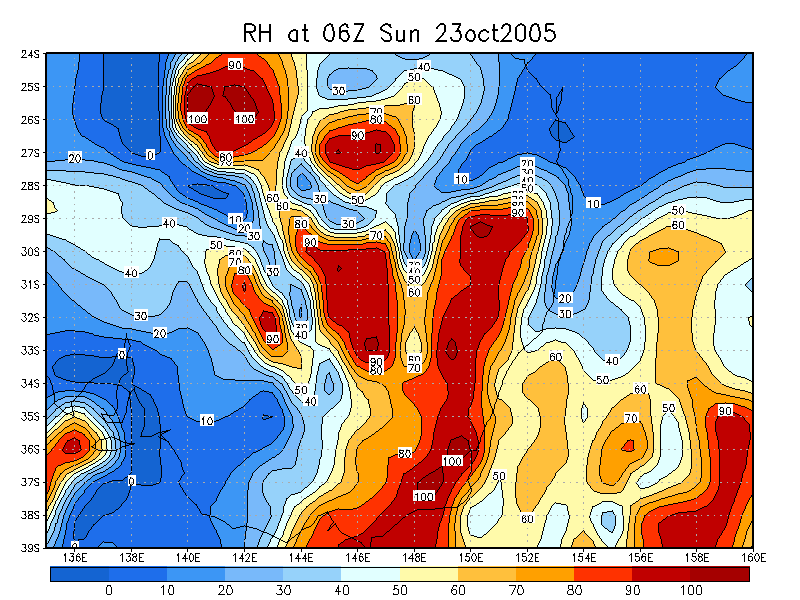
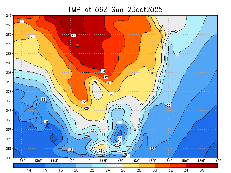
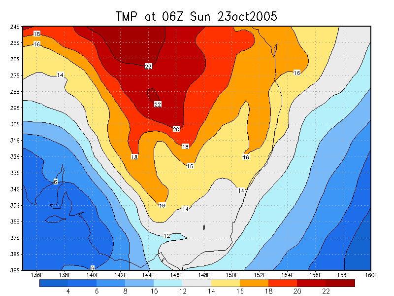
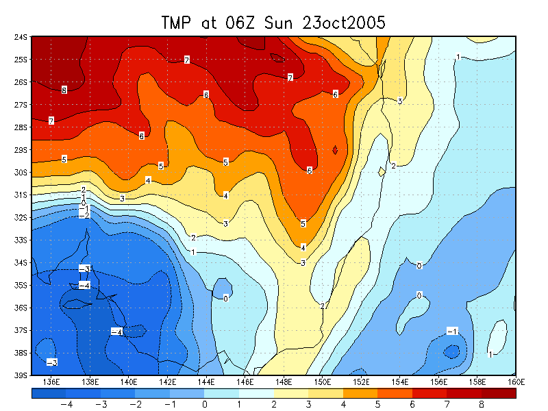
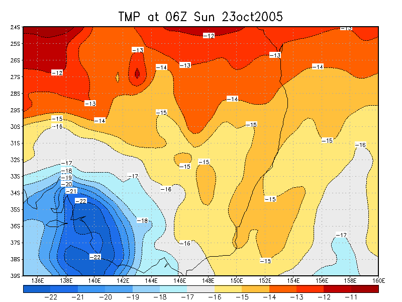
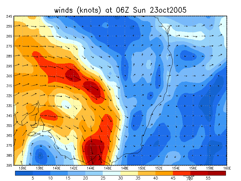
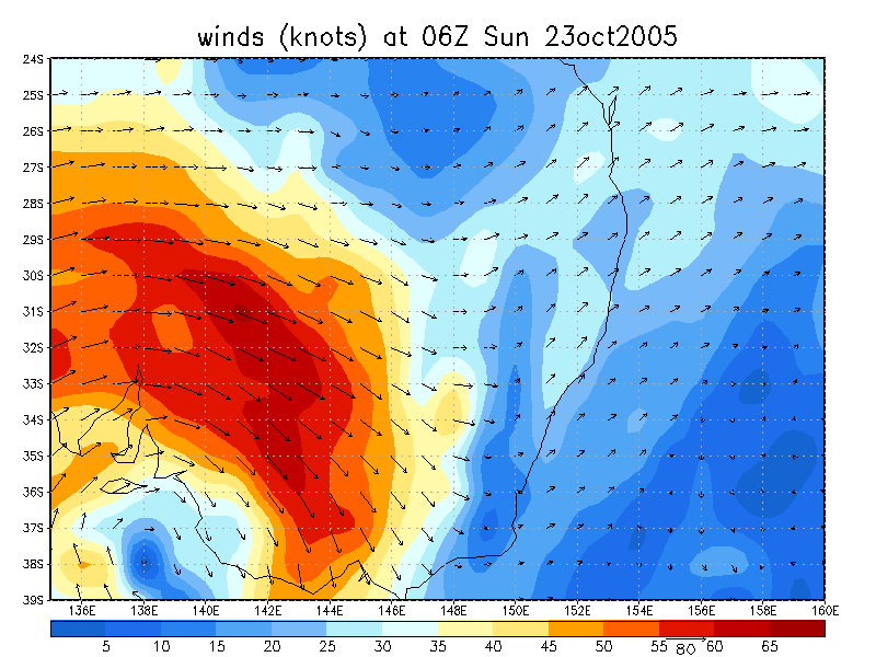
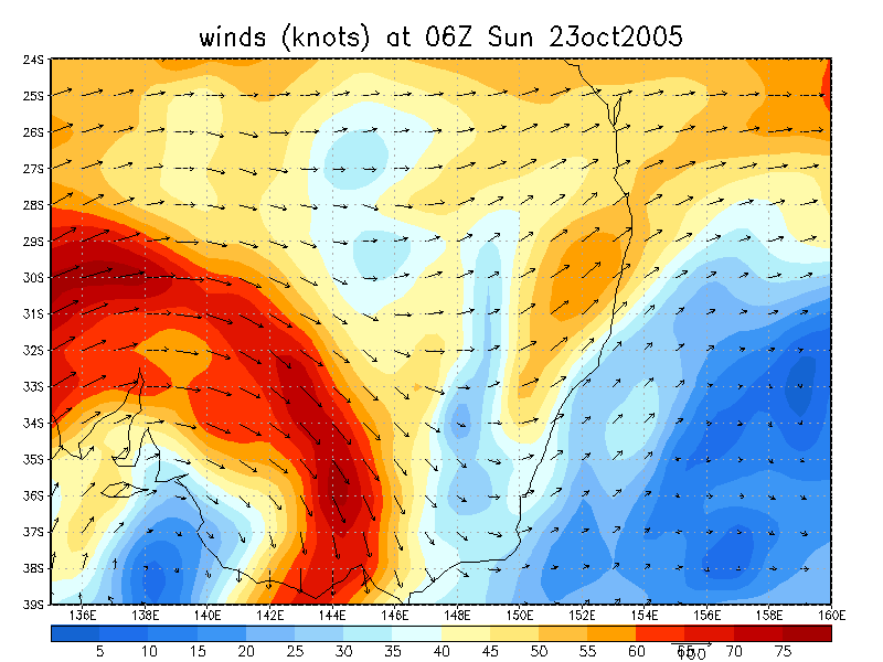
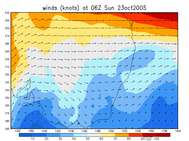
 2.10pm 23/10 local
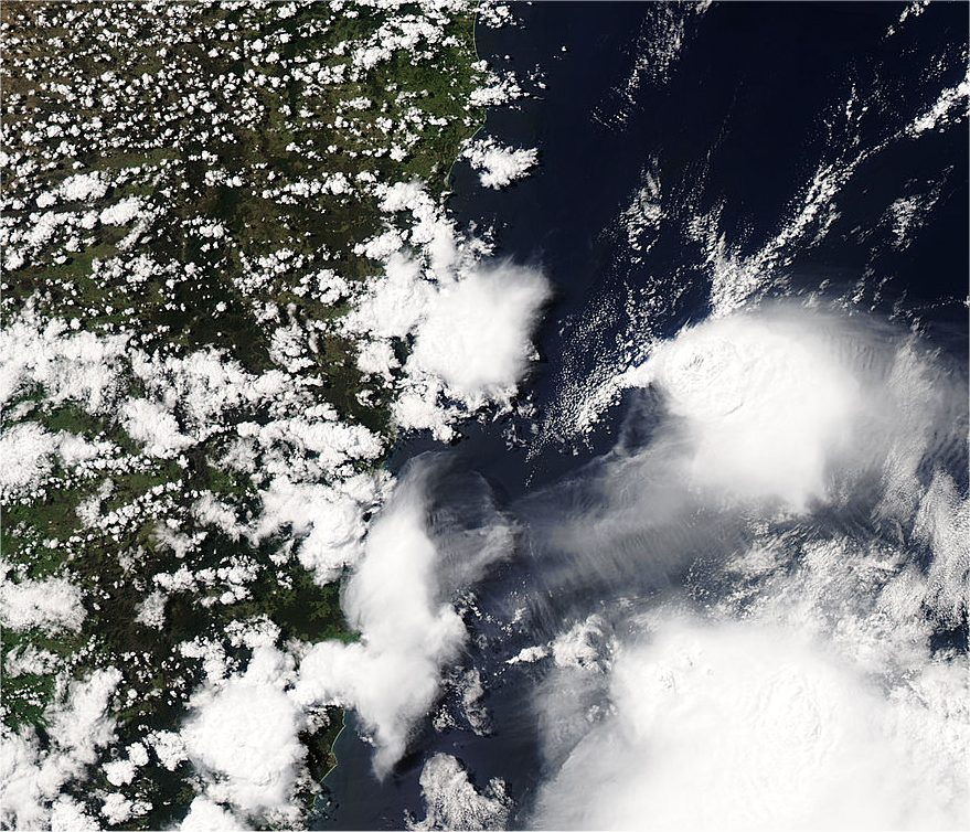
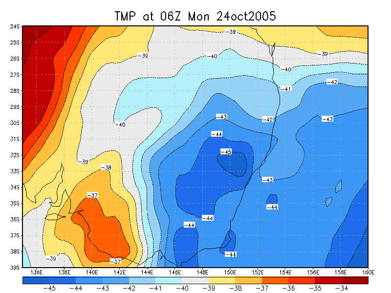
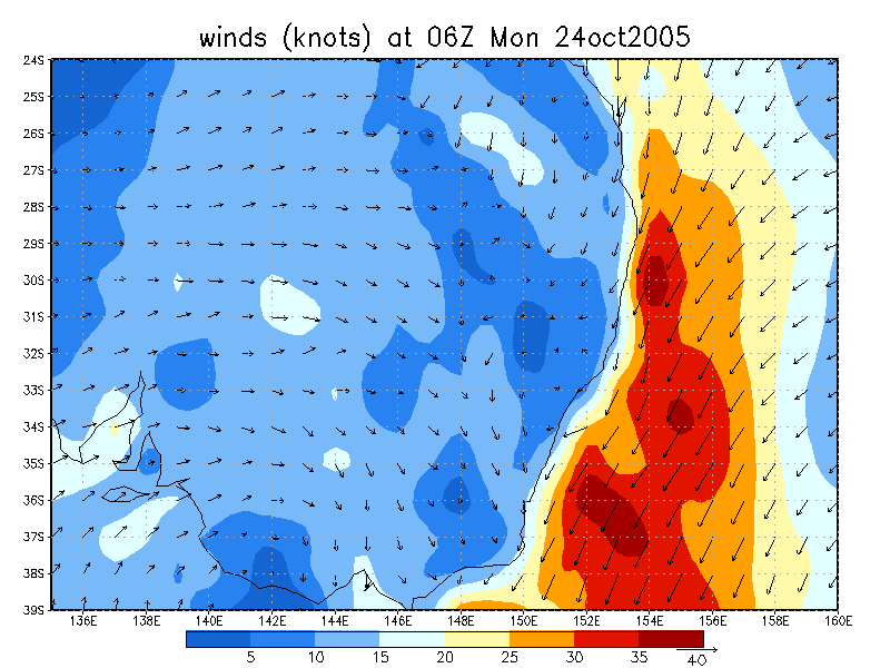
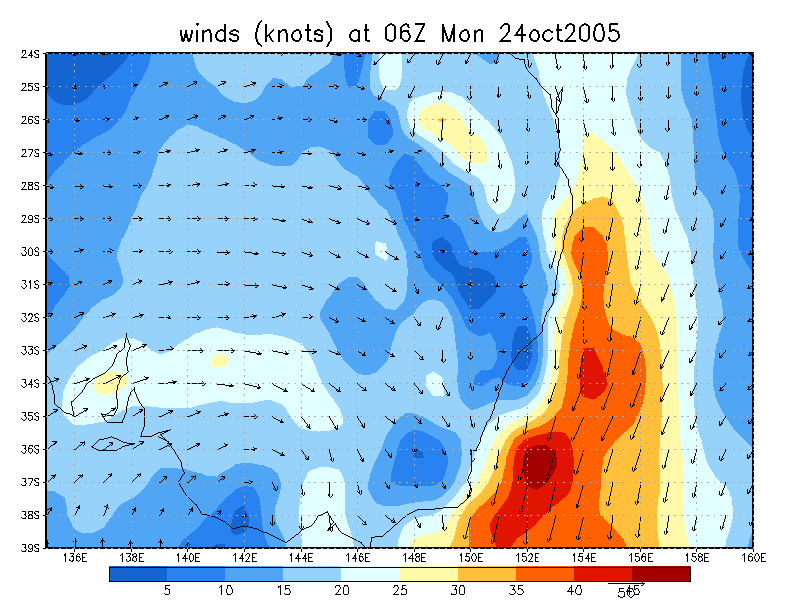
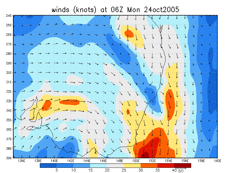
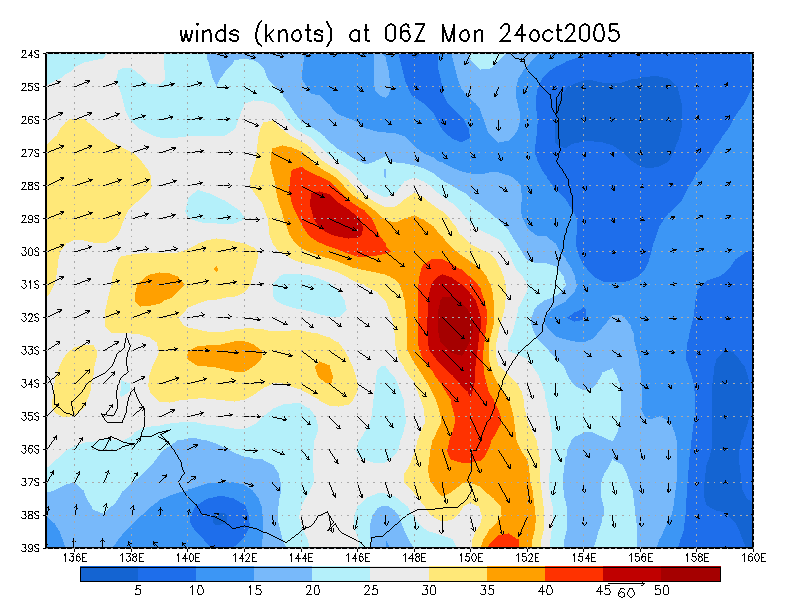
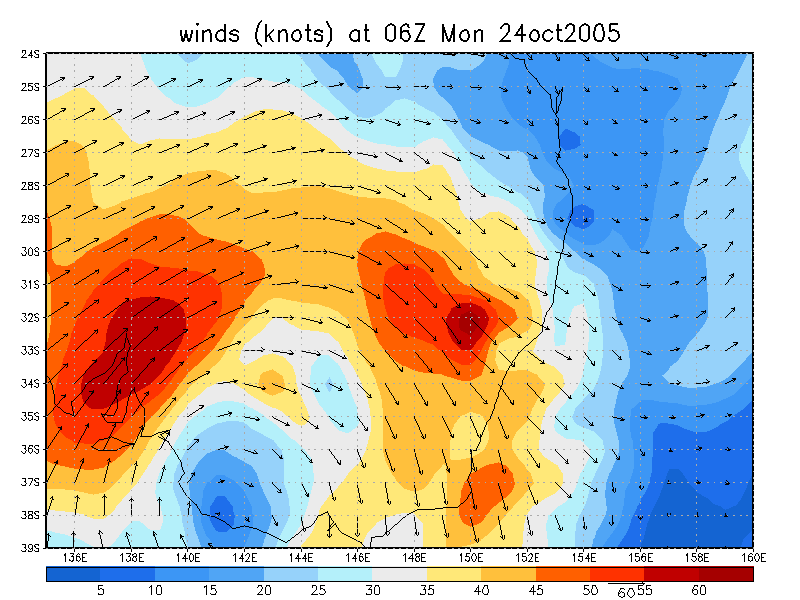
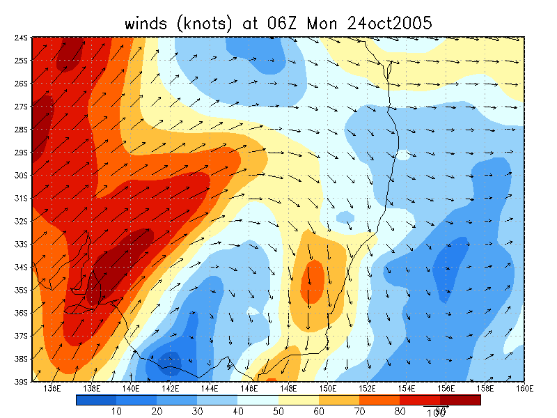
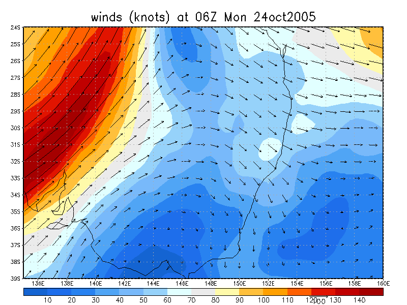
 2pm to 5pm 24/10 local
From Bureau of Meteorology
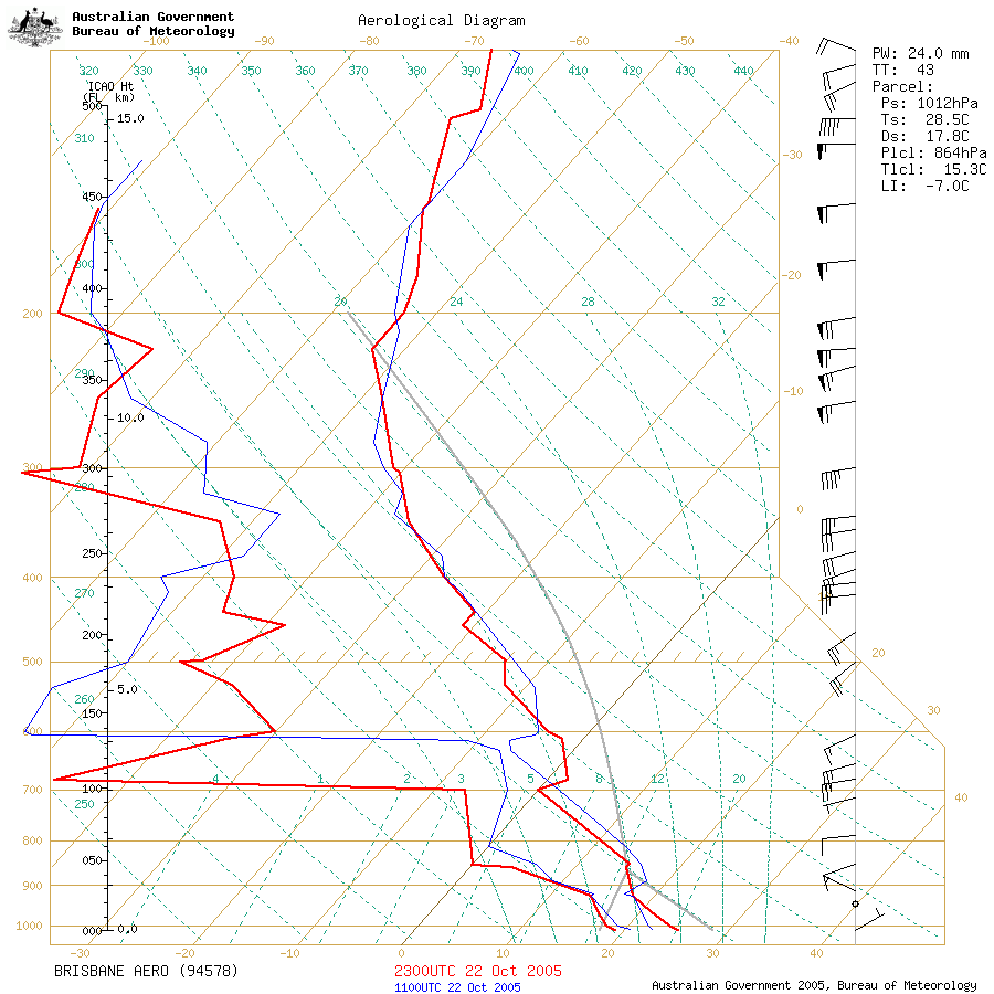 Brisbane sounding at 9am 23/10 local
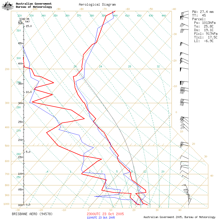
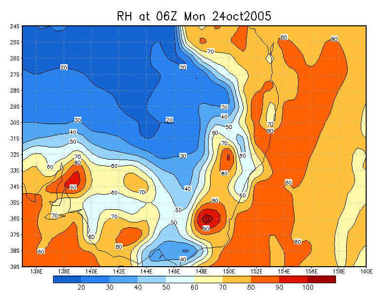
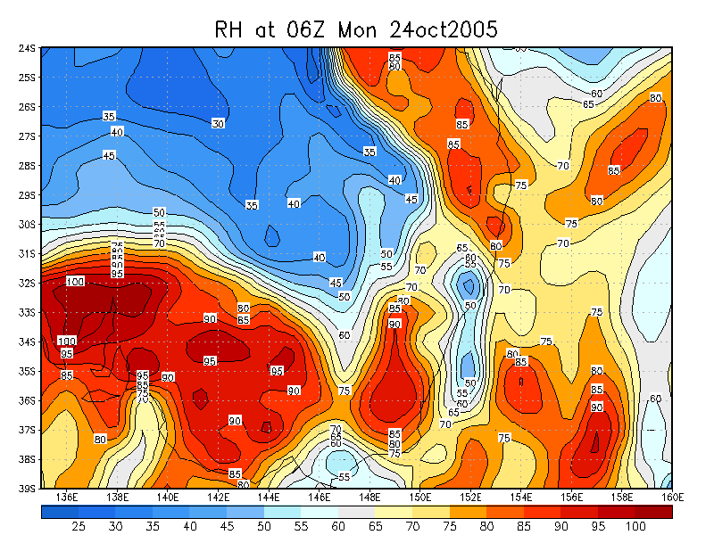
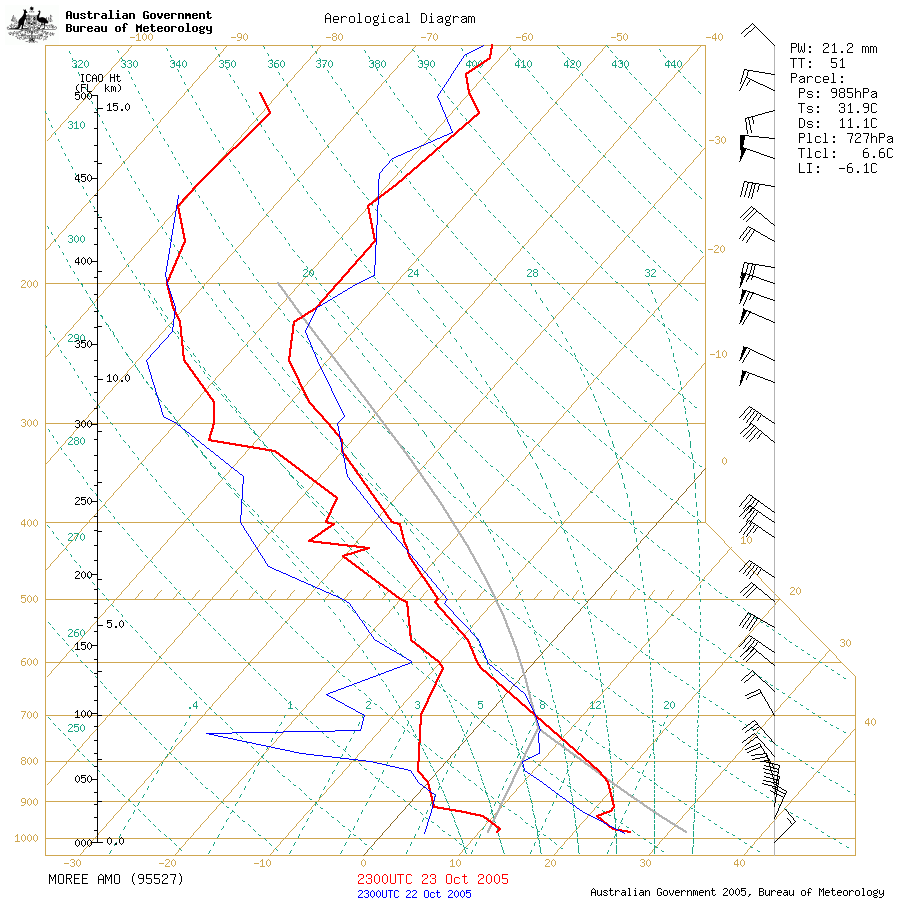 Brisbane and Moree soundings at 9am 24/10 local
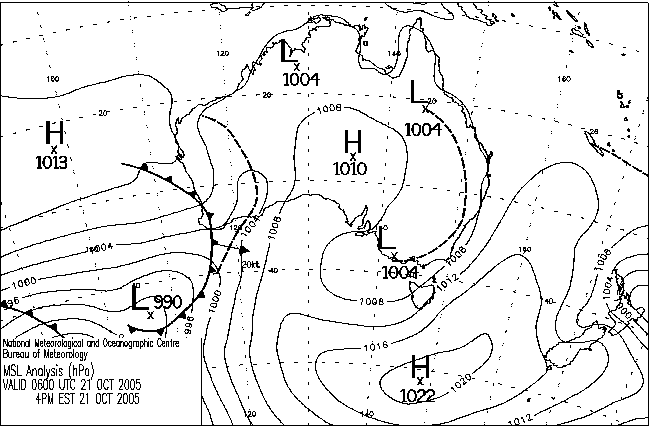
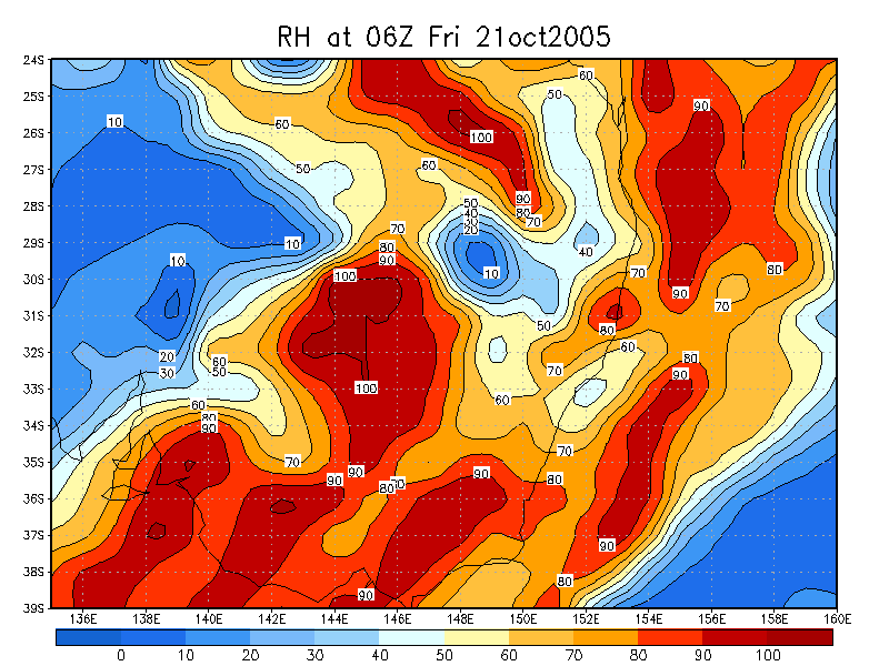
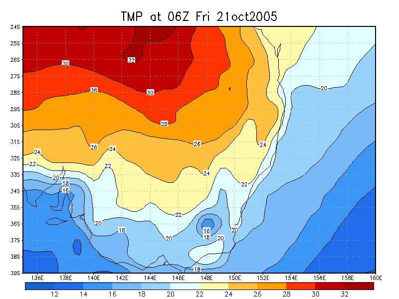
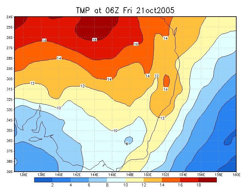
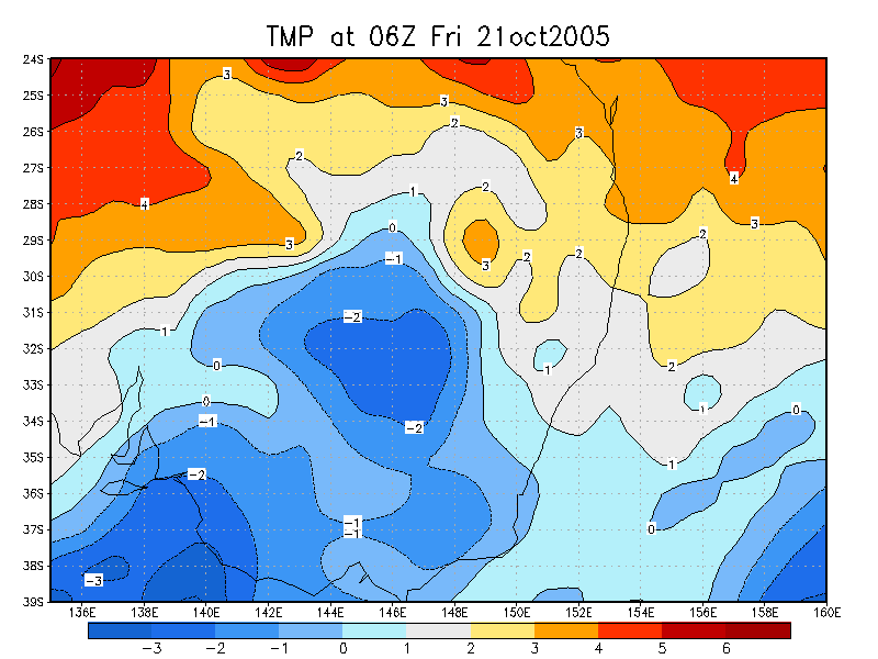
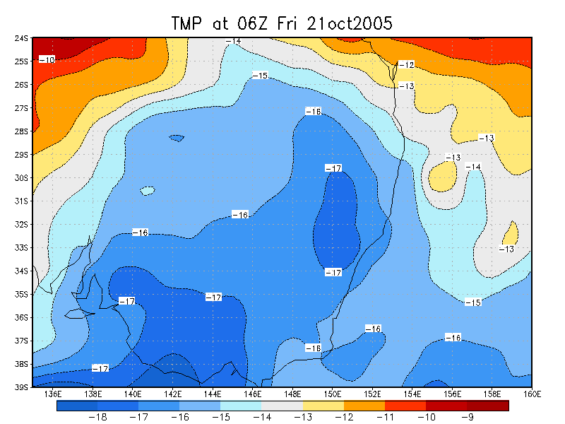
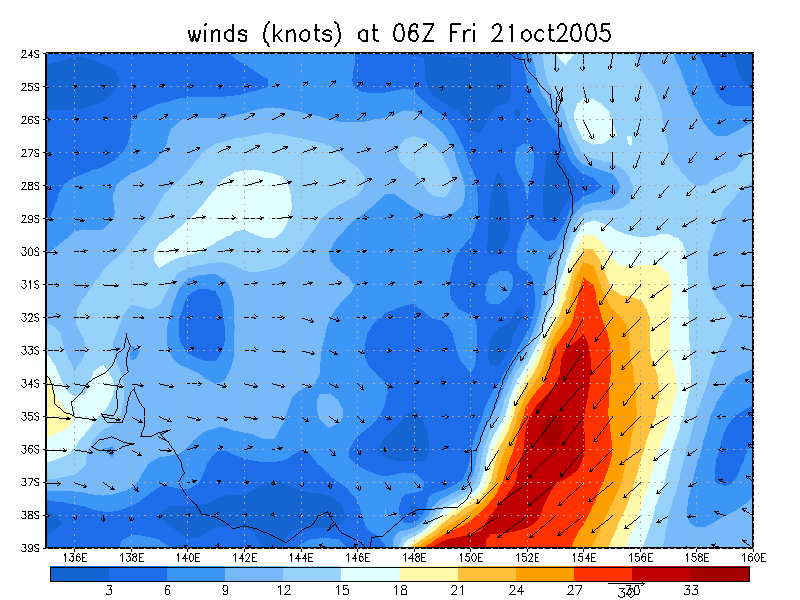
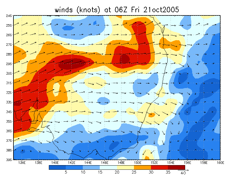
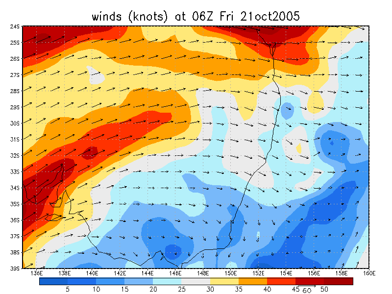
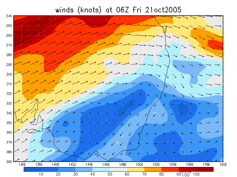
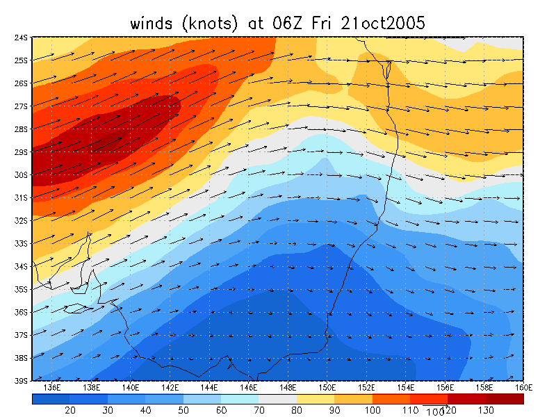
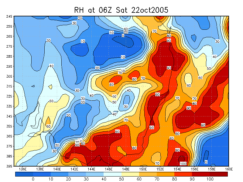
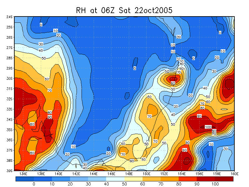
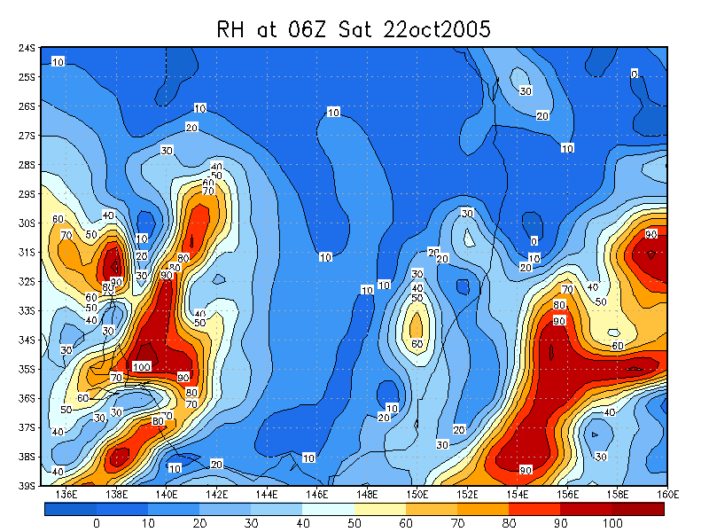
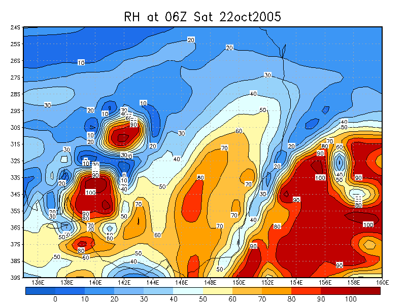
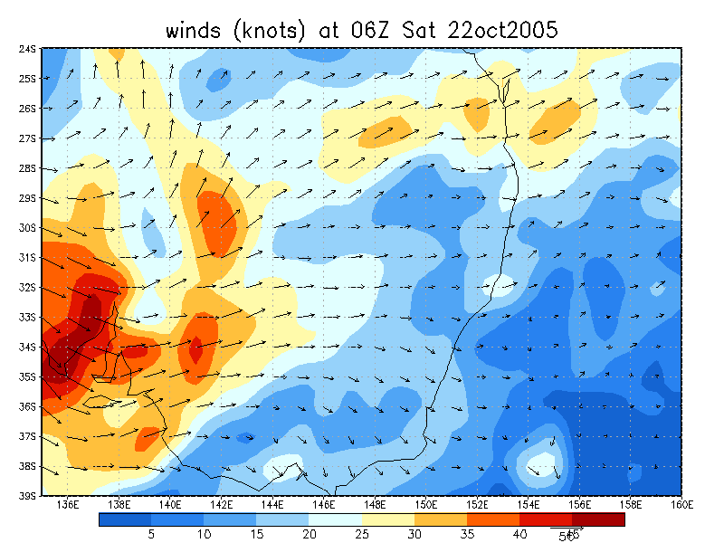
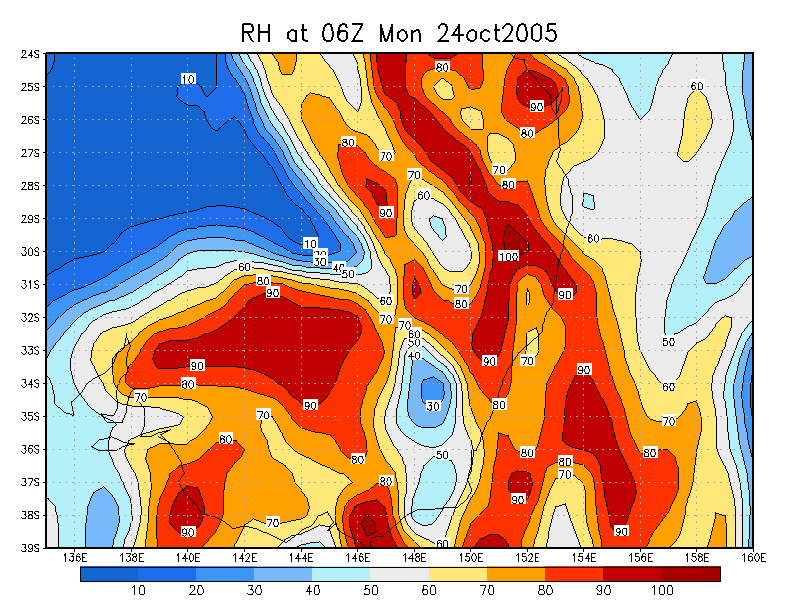
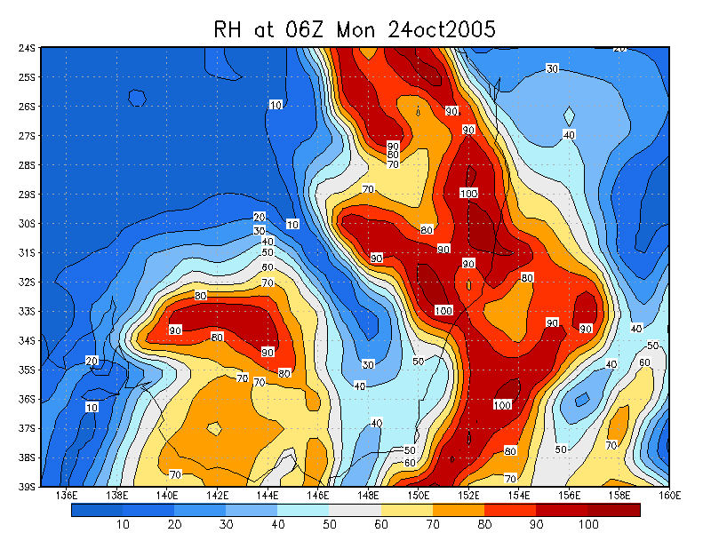
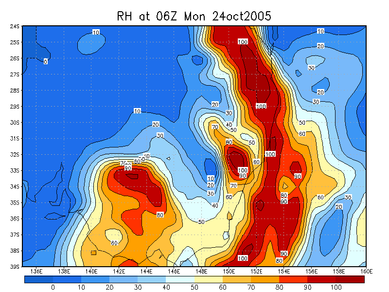
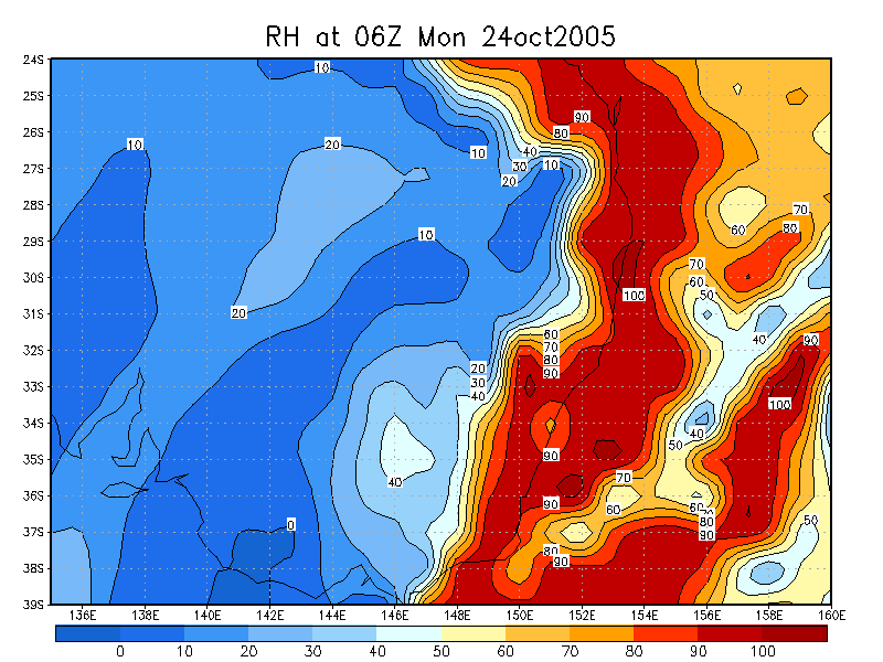
From NOAA 21/10/2005 06z analysis
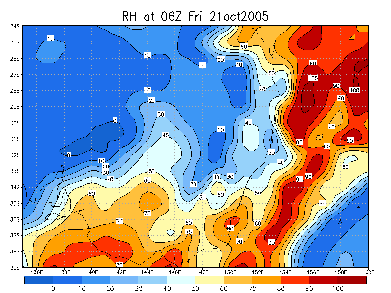
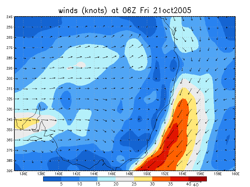
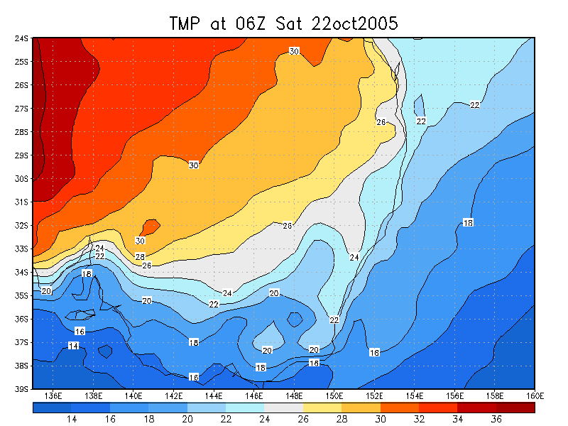
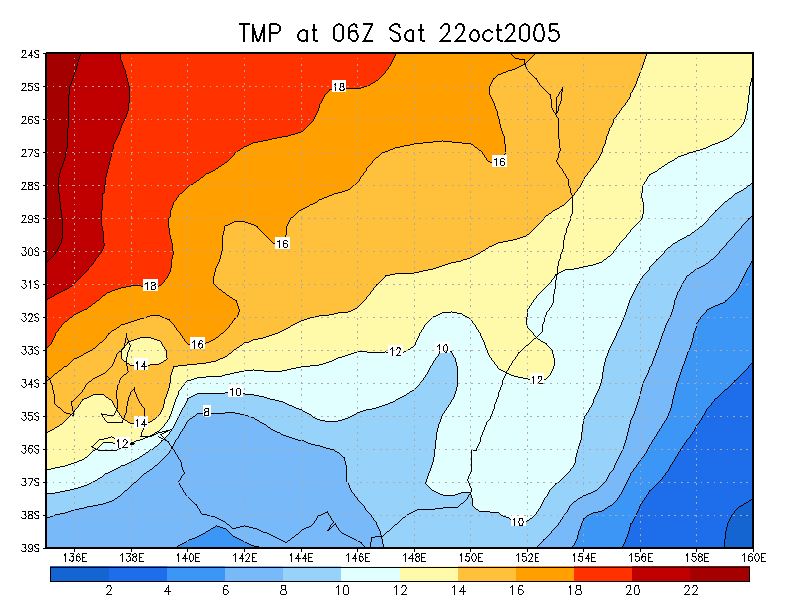
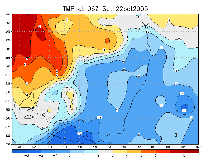
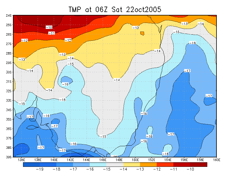
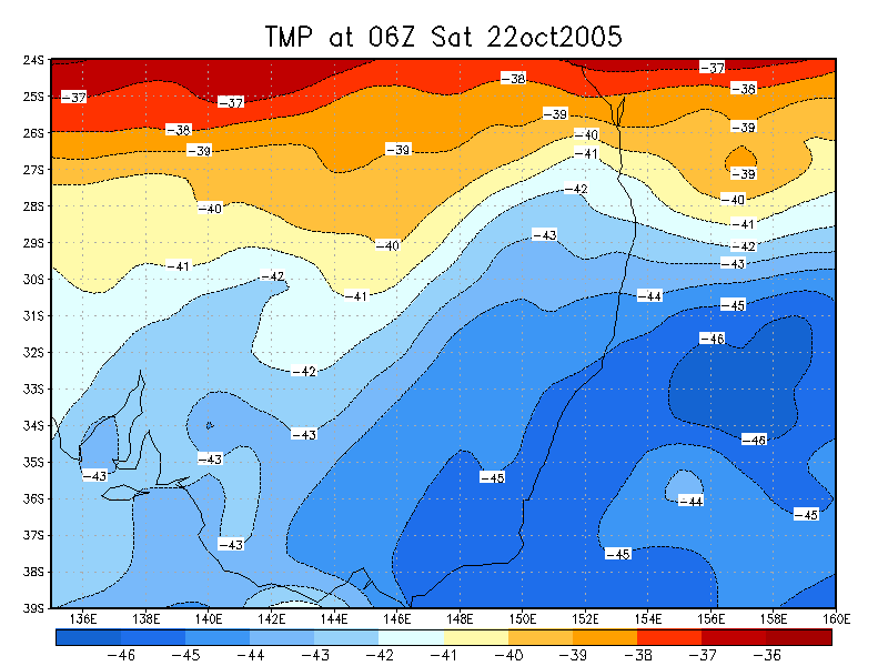
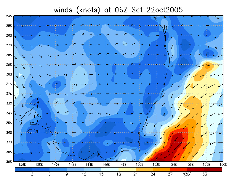
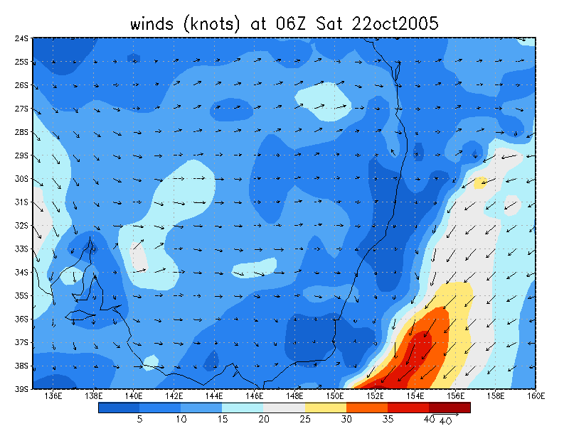
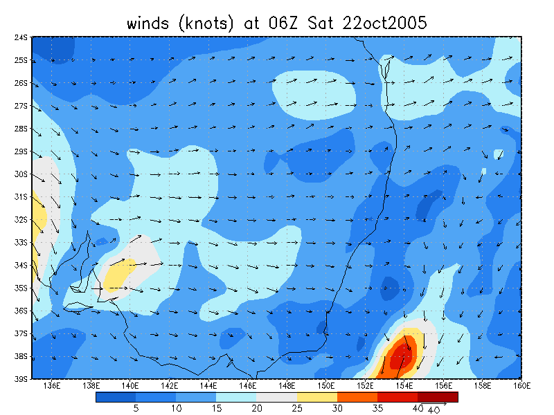
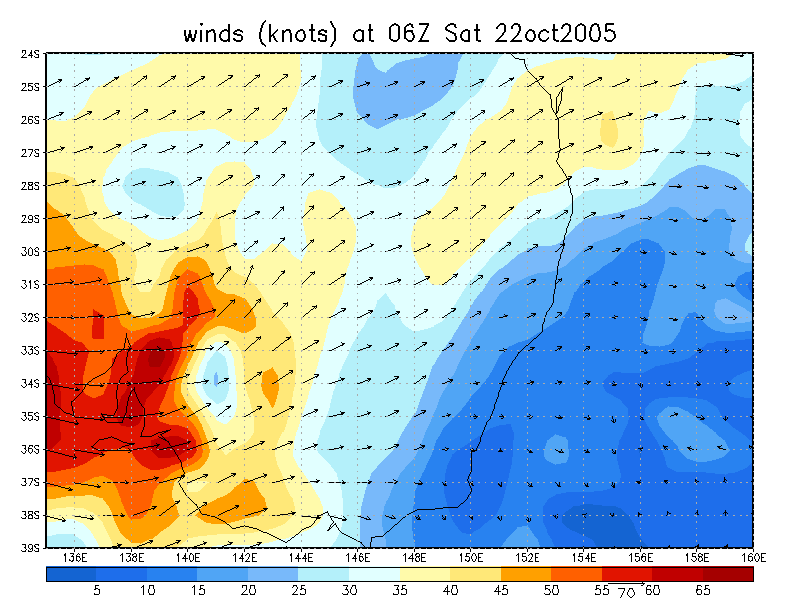
From NOAA 22/10/2005 06z analysis
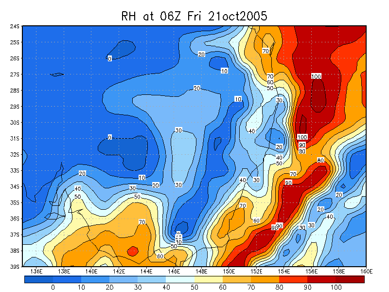
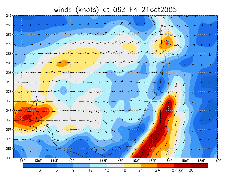
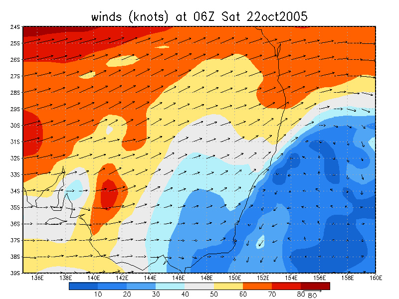
From NOAA 23/10/2005 06z analysis
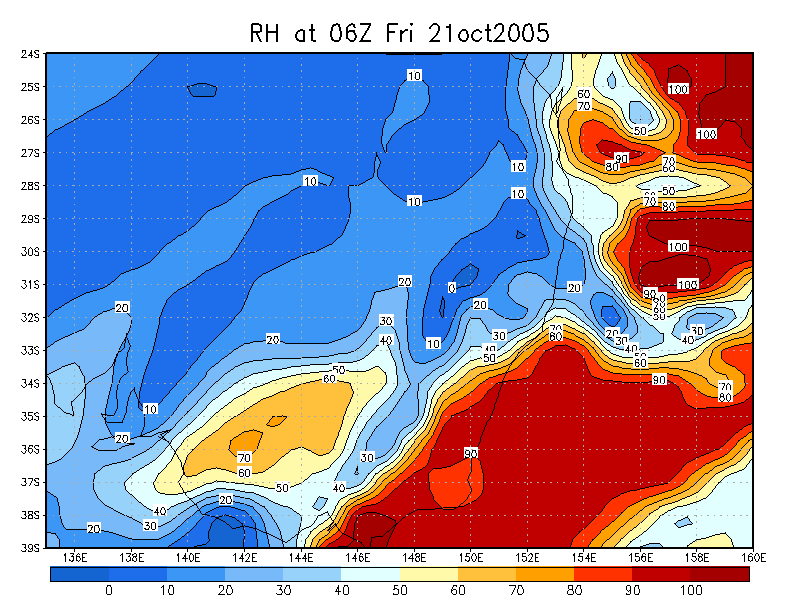
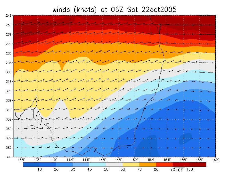
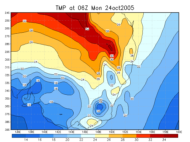
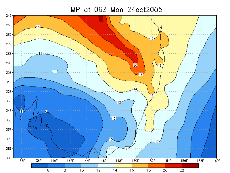
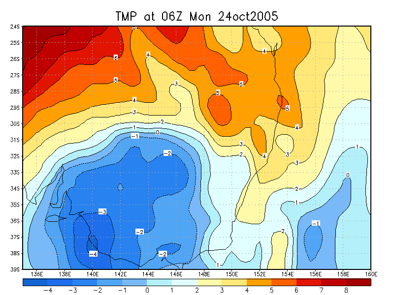
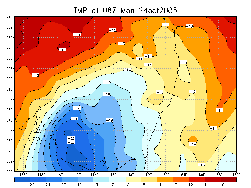
From NOAA 24/10/2005 06z analysis
|
Document: 200510-02.htm Updated: 18th December, 2005 |
[Australian Severe Weather index] [Copyright Notice] [Email Contacts] [Search This Site] |