and Chasing
[Index][Archives]
Three Days of Storm Chasing on the NSW North Coast: Wednesday 7th to Friday 9th December 2005
Report compiled by Dave Ellem and Michael Bath
| Storm News and Chasing [Index][Archives] |
Three Days of Storm Chasing on the NSW North Coast: Wednesday 7th to Friday 9th December 2005 Report compiled by Dave Ellem and Michael Bath |

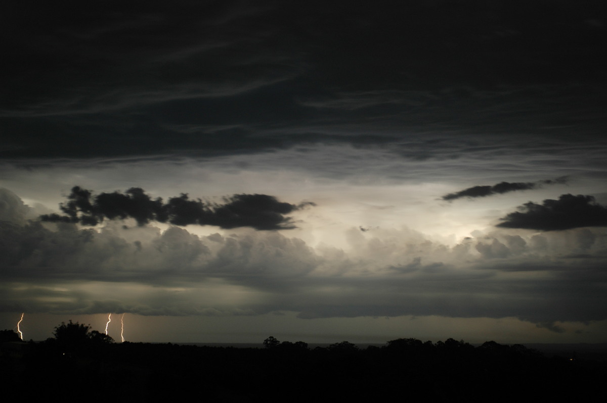
With 850 temps
above 20C, it was not surprising that development kicked off a little later
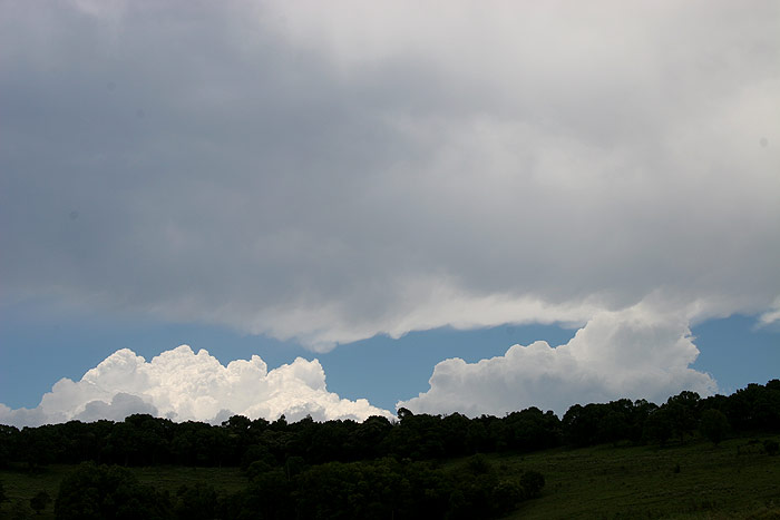
than usual. I headed out to Tregeagle at around 2.15pm. Despite activity looking
a little weak, its position near Mallanganee meant that it would not take long
to get to the coast and hopefully intensify. As I was driving out to my initial
spot, a huge clear-air CG popped out of the fairly high topped anvil and probably
landed upwards of 10km away from the storm. I thought this was testament to
the high levels of energy in the atmosphere, and it seemed like I was in for
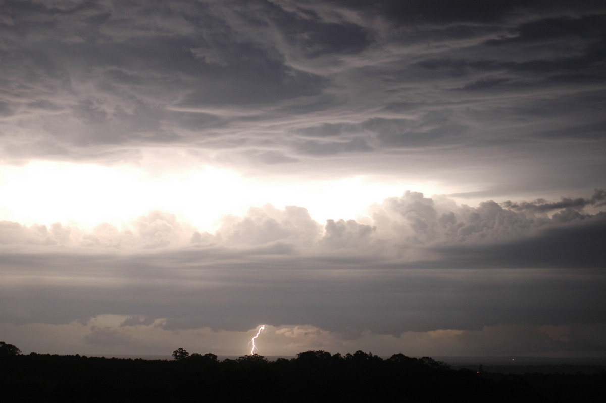
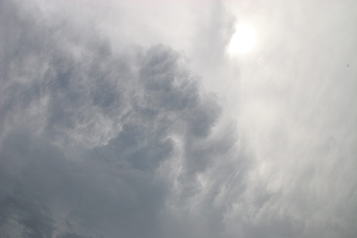
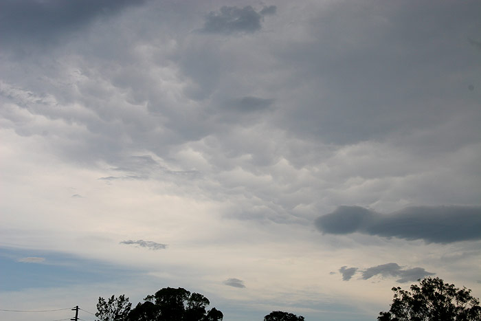
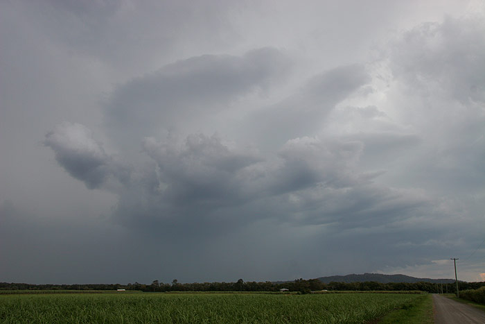
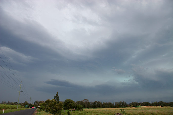
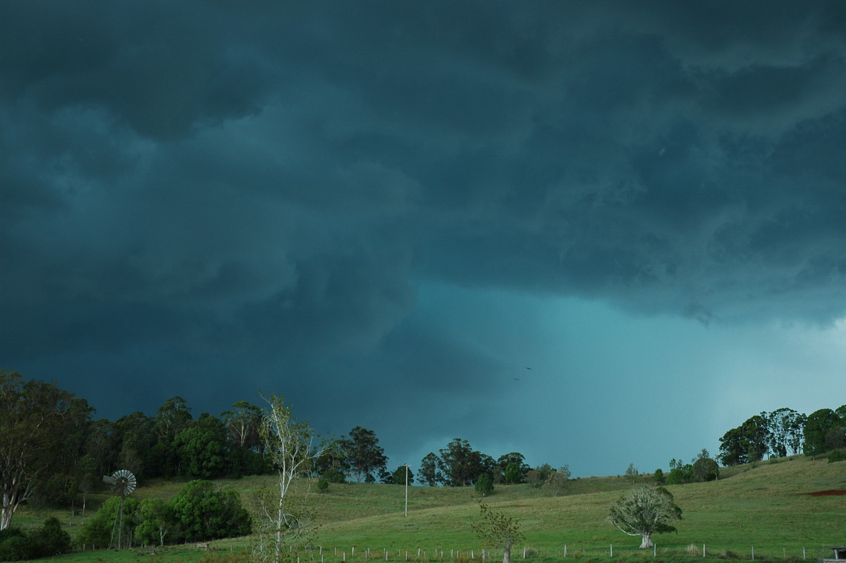
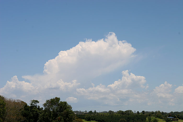
a good afternoon! When I stopped, high cloud was ruining the contrast, and the
storms didn’t look really amazing, but still quite solid given it was
the initial development. I was excited by the bubbling anvil overhead –
often a sign of strong updrafts.
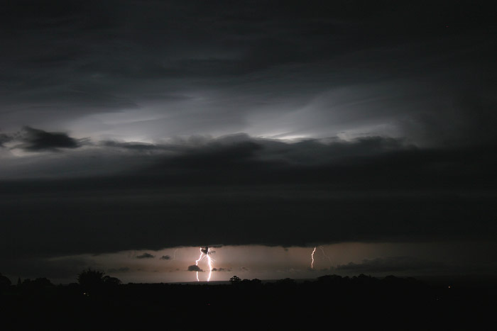
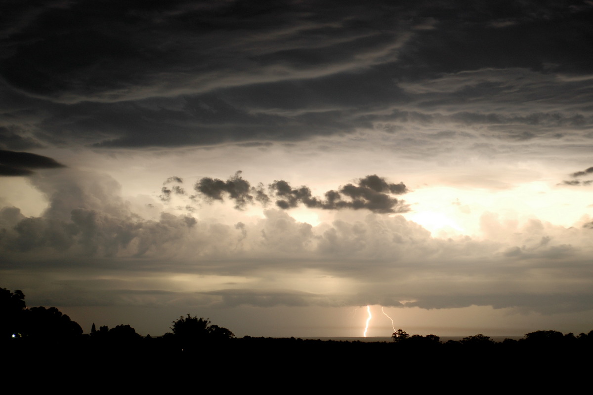
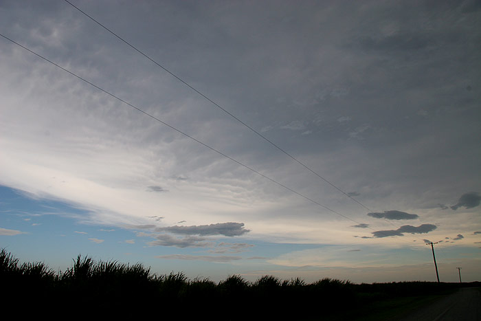
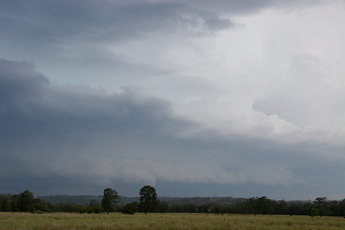
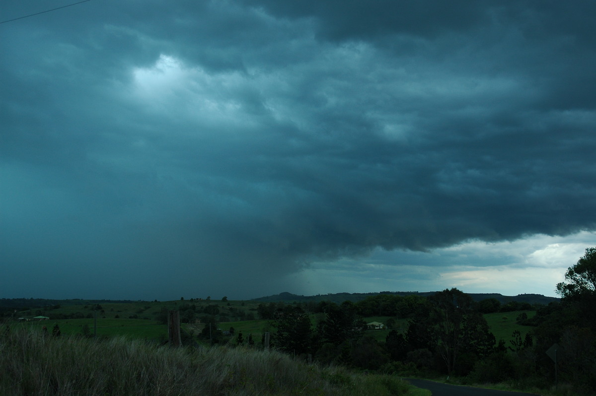
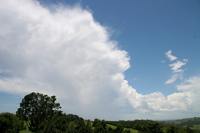
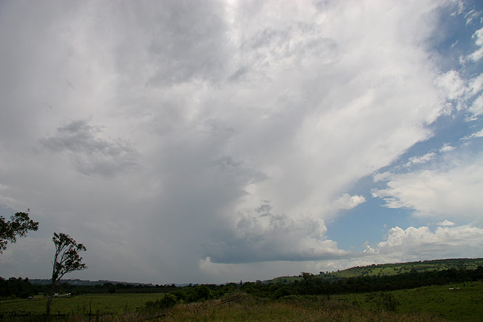
I pressed on to the Lismore to Woodburn road and stopped for another photo.
The cell was still pretty high based, and not all that exciting looking. However
above the updraft there was a nice smooth rounded region. CG lightning frequency
was beginning to intensify now.
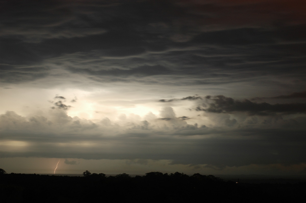
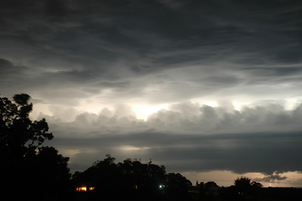
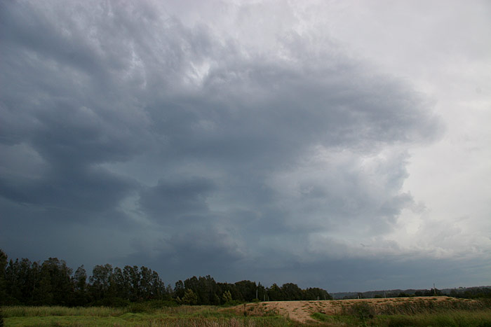
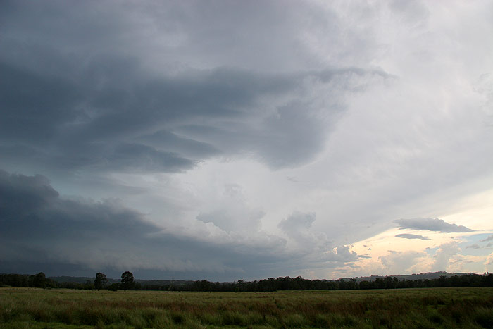
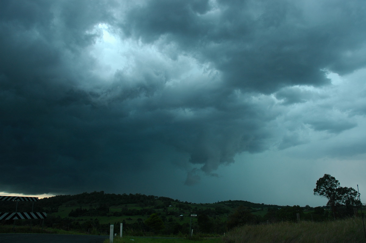
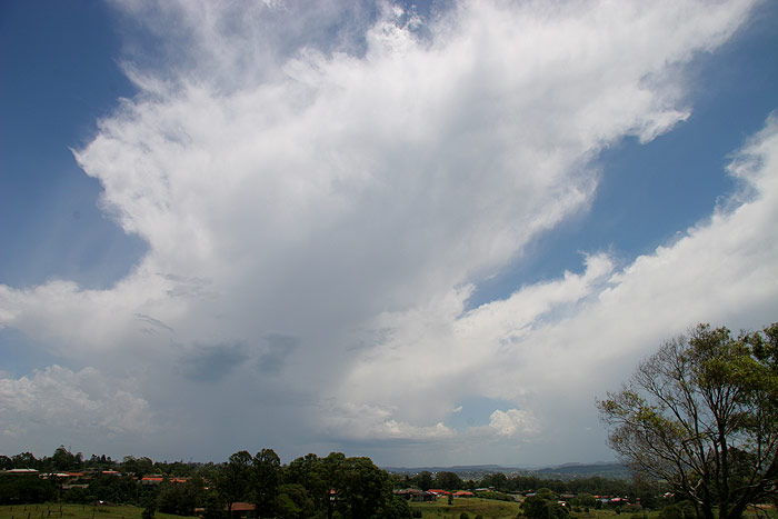
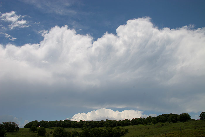
I continued to a lookout on the road that leads to Coraki. Again, the cell had
a kind of smooth, rounded look above the updraft, although it was obscured slightly
by other cloud that was now moving in towards the storm. The updraft seemed
to be staying ahead of the precipitation area, which was a good sign.
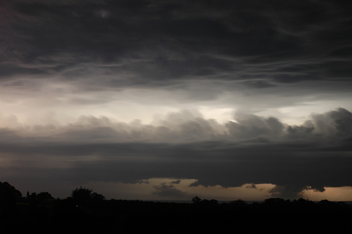
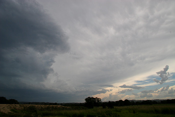
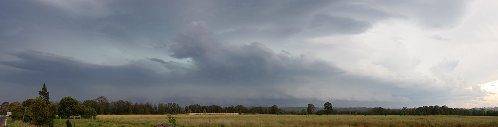
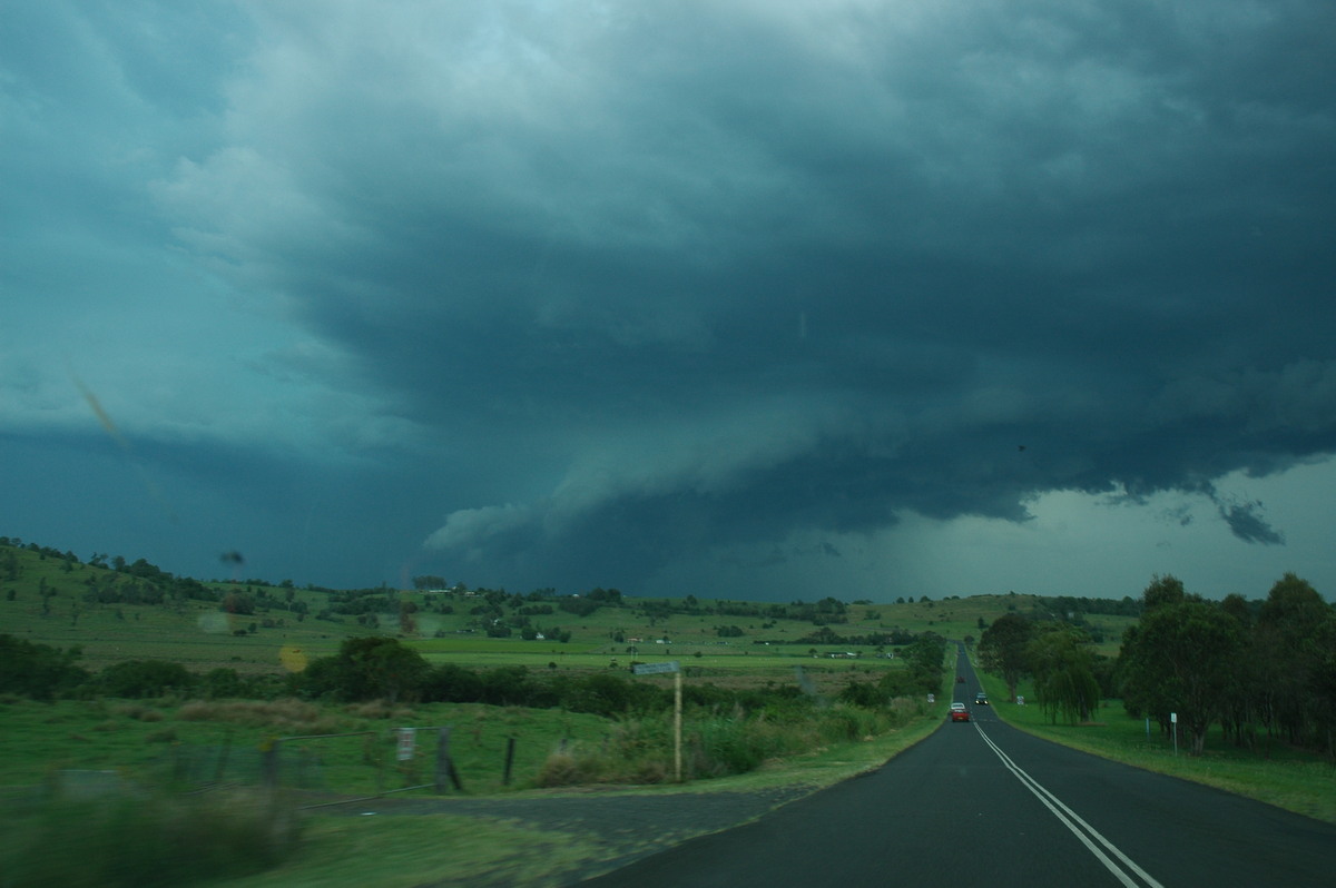
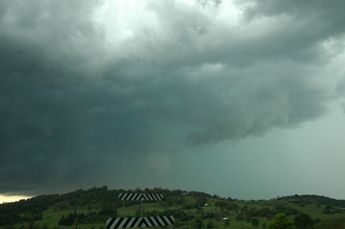
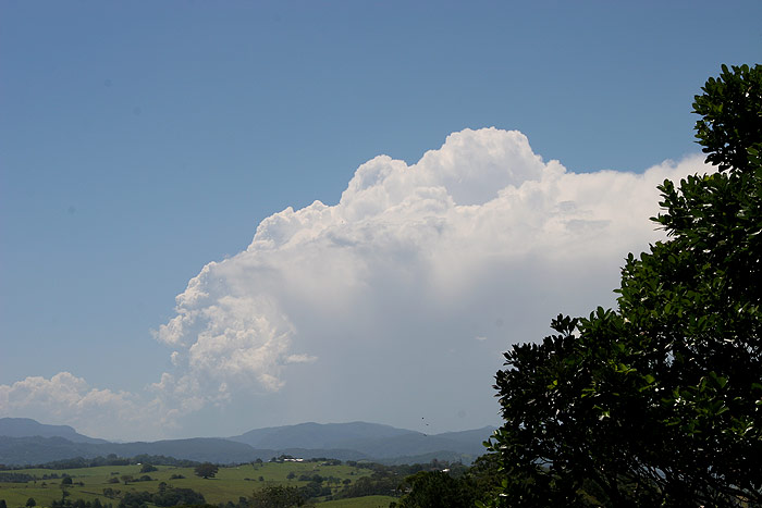
Back on the road that leads to Woodburn, I took the turnoff to Broadwater, as
the cell seemed to be heading more ENE, and I’d need to shoot up N to
stay ahead. I stopped several times on the way. A large anvil now extended a
long way E, and scuds were beginning to form under the updraft.
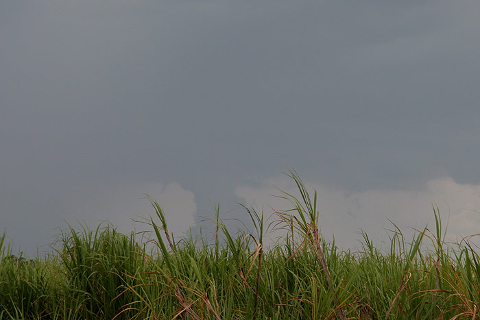
Just before the bridge at Broadwater, I got a glimpse out of the corner of my
eye of a lowering under the cell’s updraft. I quickly pulled over for
a photo, however the long sugar cane wasn’t helping the situation much!
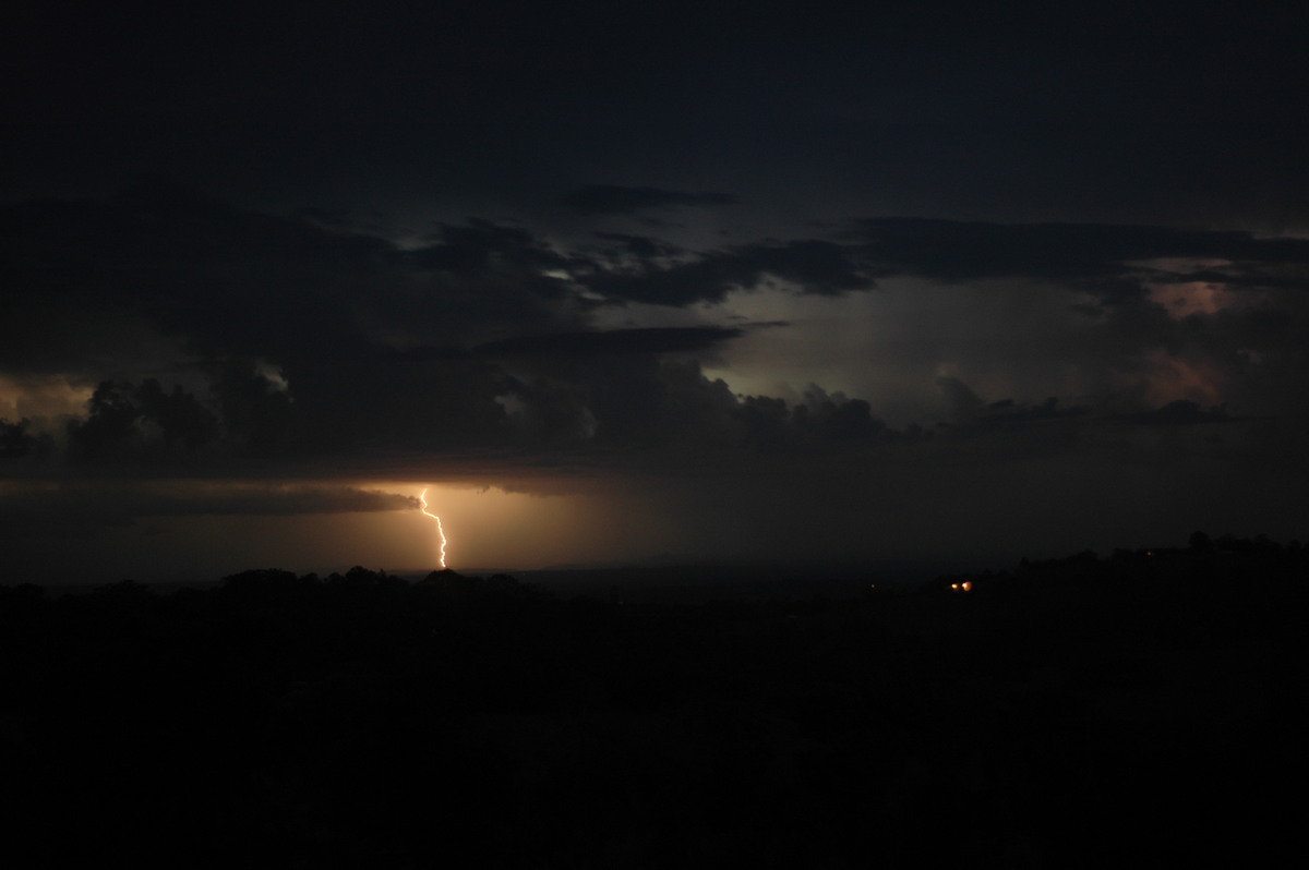
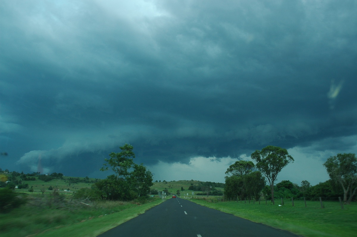
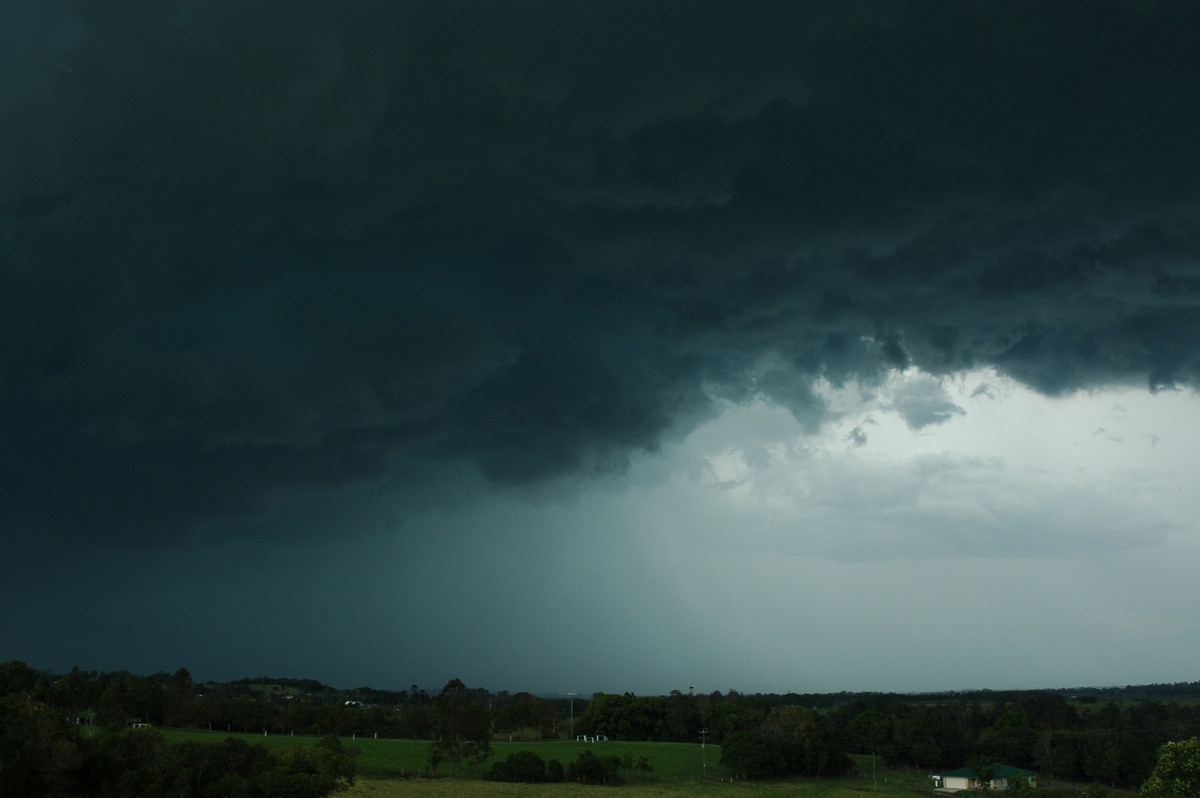
I reached the Pacific Highway and began heading N. The cell seemed to be losing
intensity a bit as I got a glimpse every now and then to my W. Anvil rain was
also starting to occur. I stopped in some cane fields S of Wardell, and it was
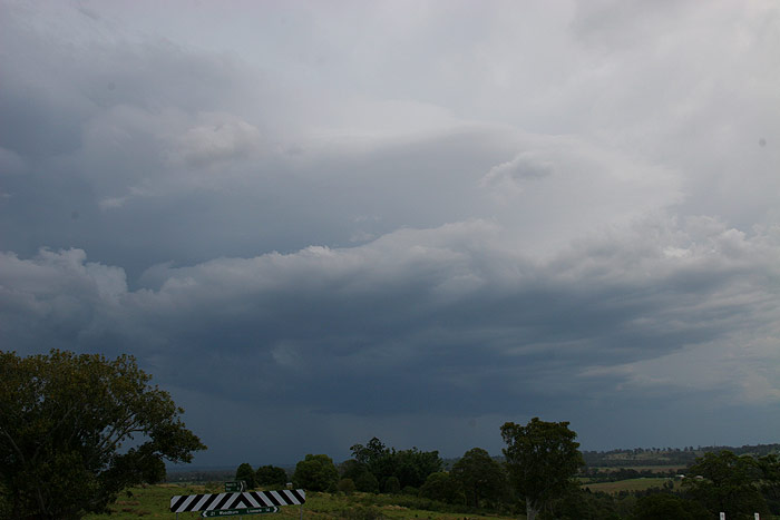
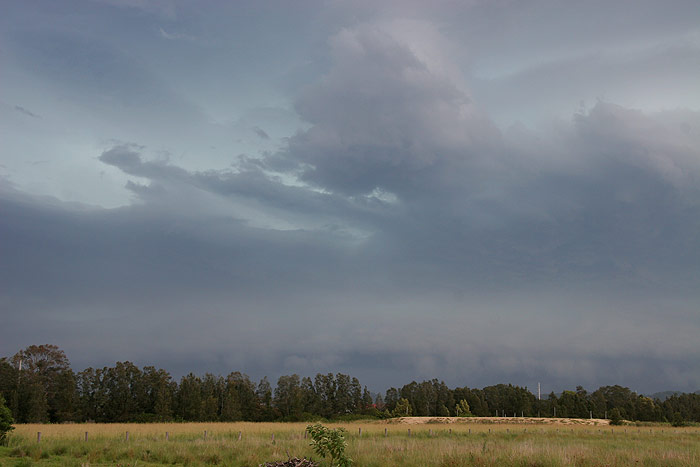
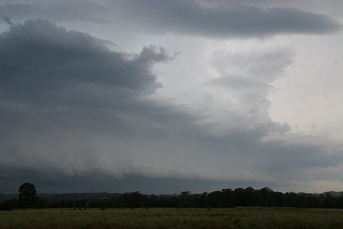
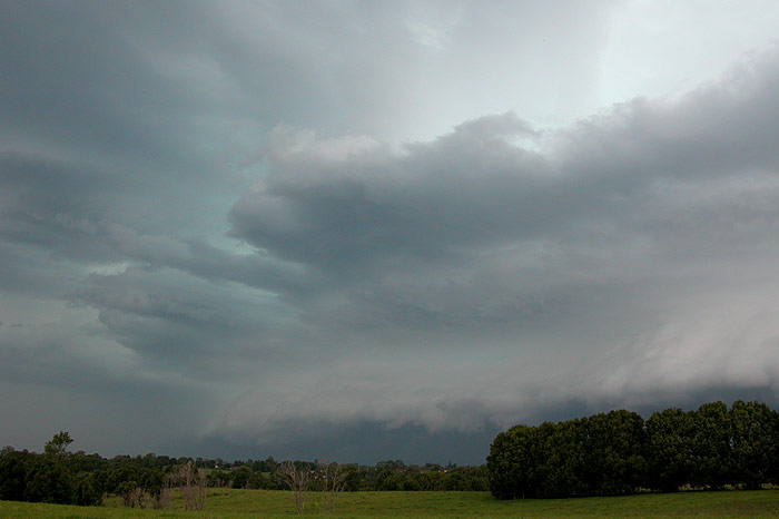
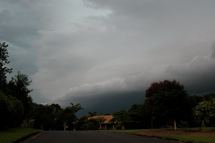
hard to pick what the cell was doing. It seemed like it was raining out, but
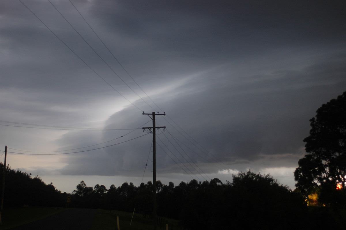
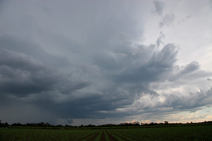
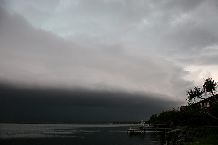
a shelf cloud was beginning to develop NW of the rain.
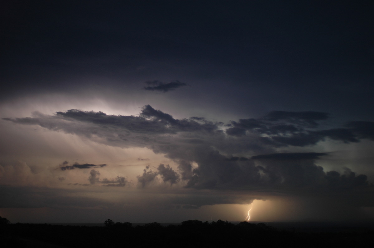
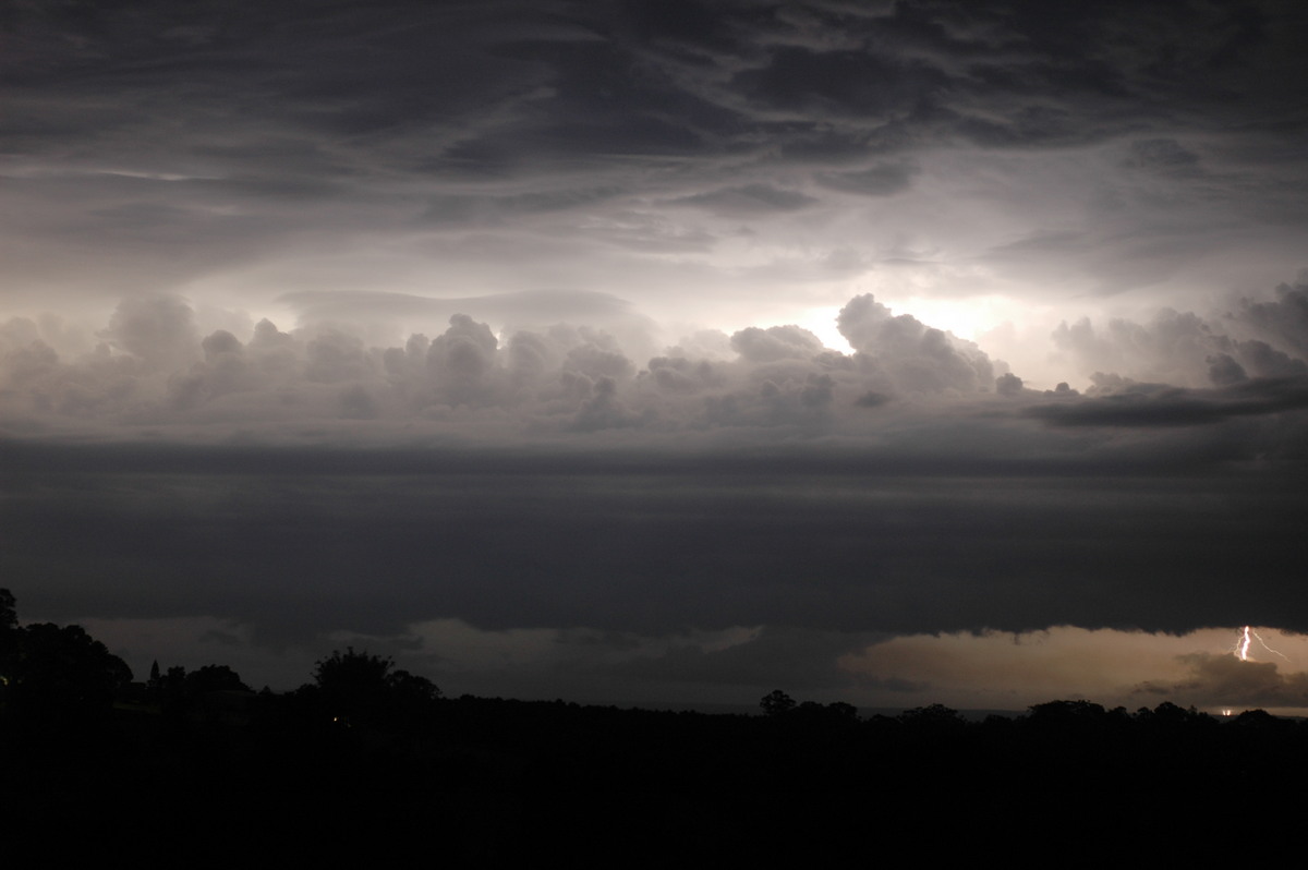
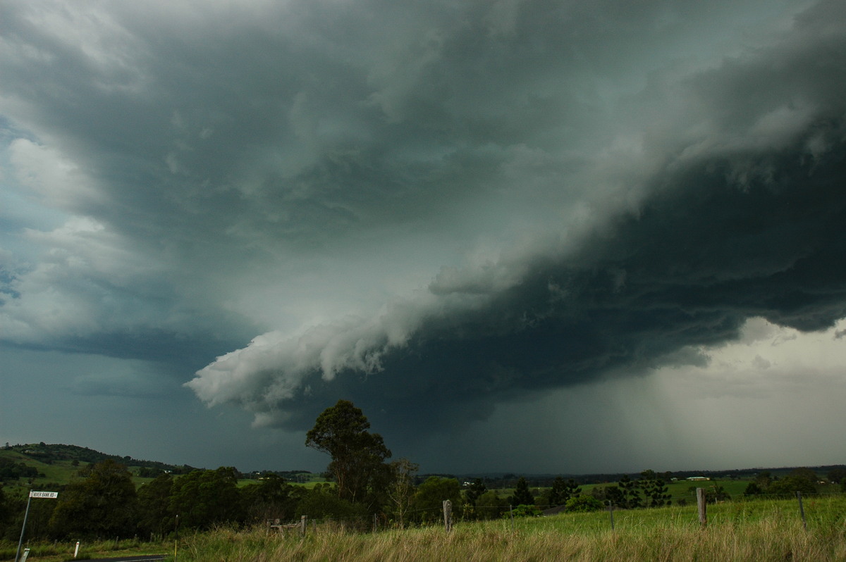
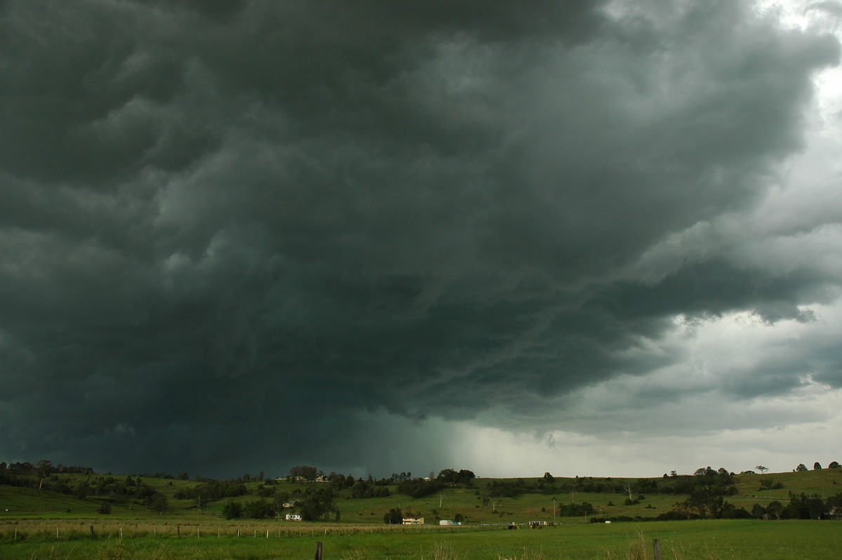
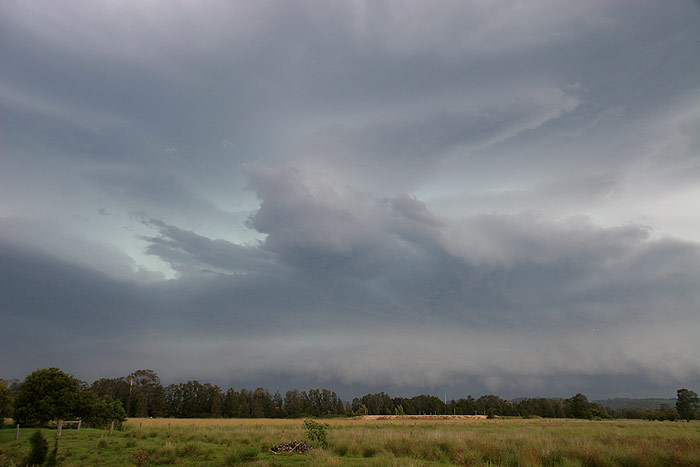
I decided I may as well head to Ballina and see what the cell did. Every time
I got a glimpse to the W, my excitement grew. The cell appeared to be developing
into something quite nasty looking. It was so green, with powerful, pulsating
CG lightning occurring fairly regularly ahead of the storm. I pulled up in a
field just W of Ballina to observe the approaching storm.
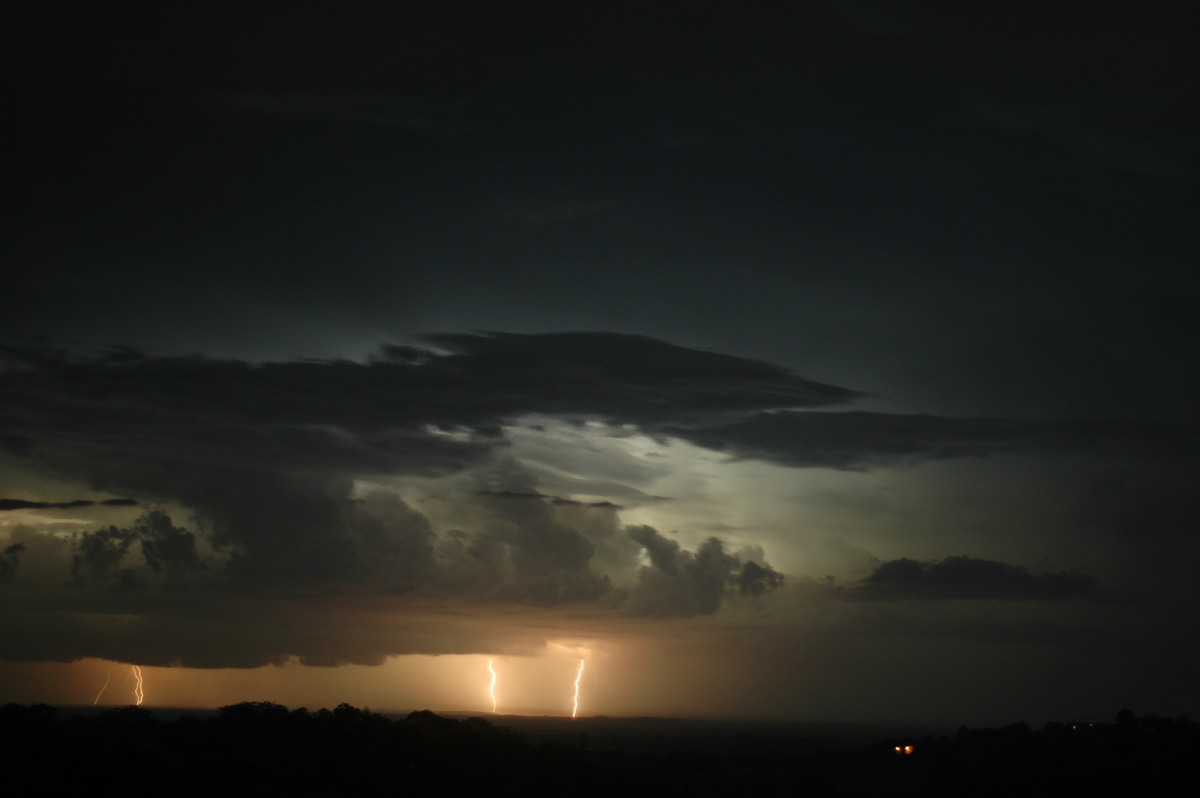
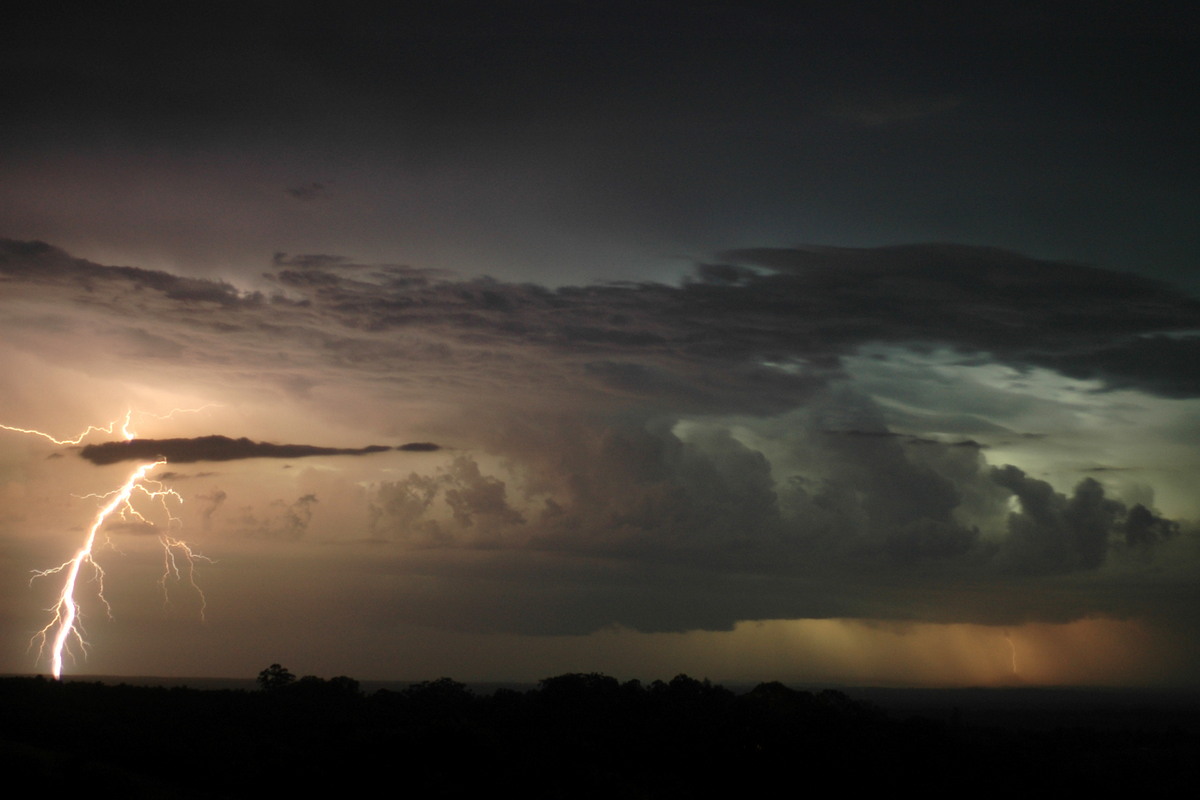
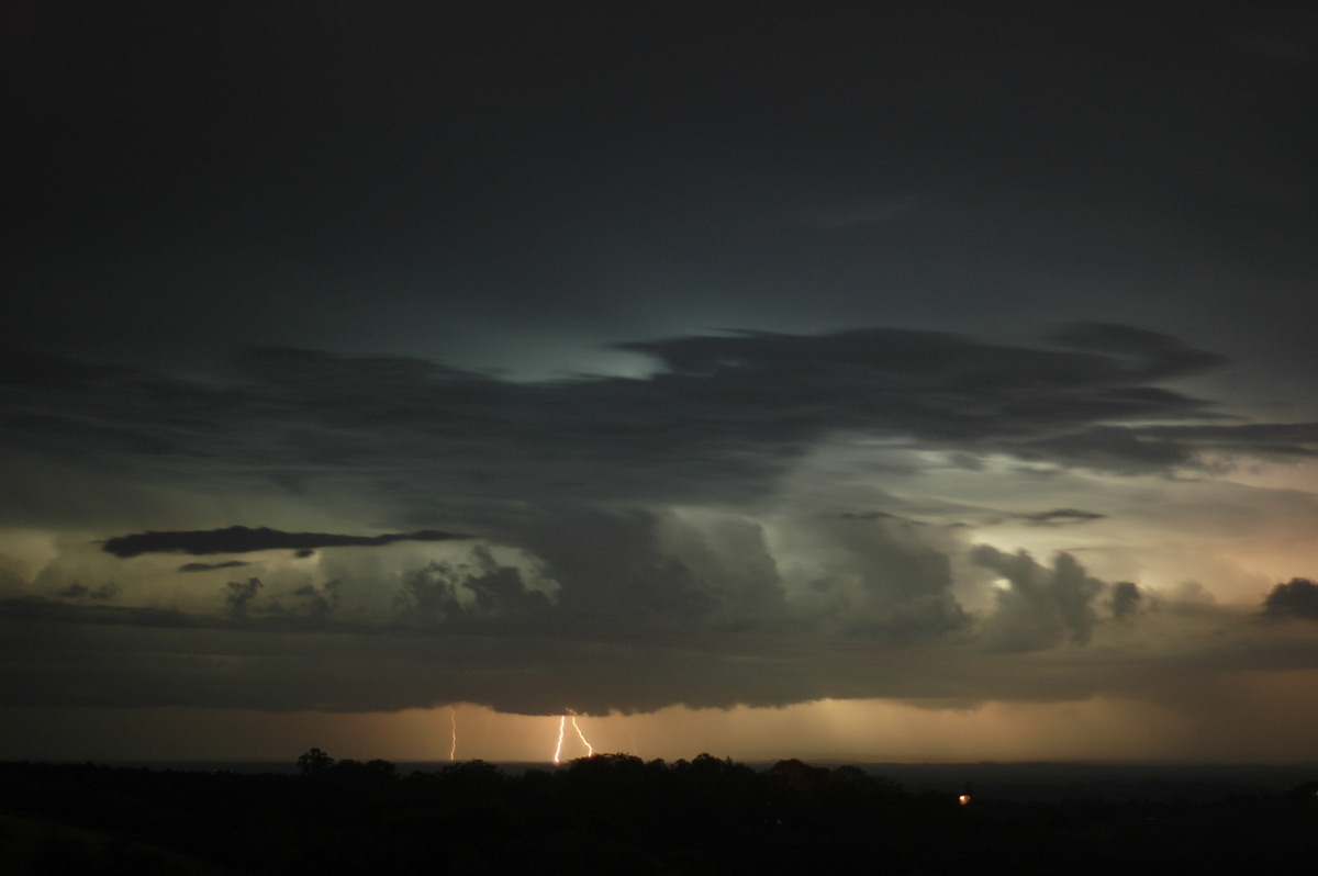
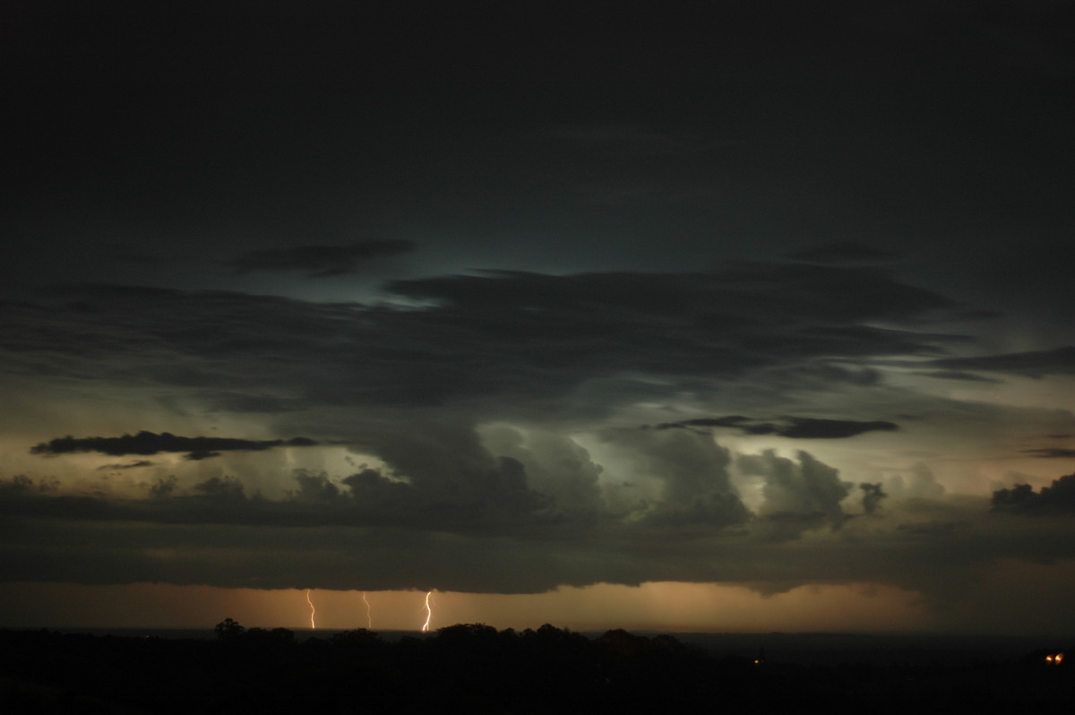
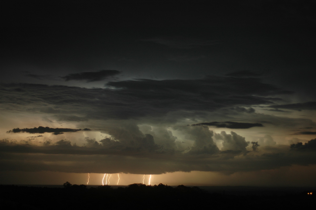
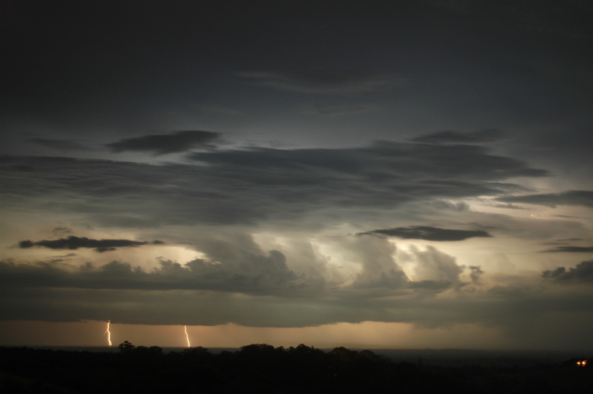
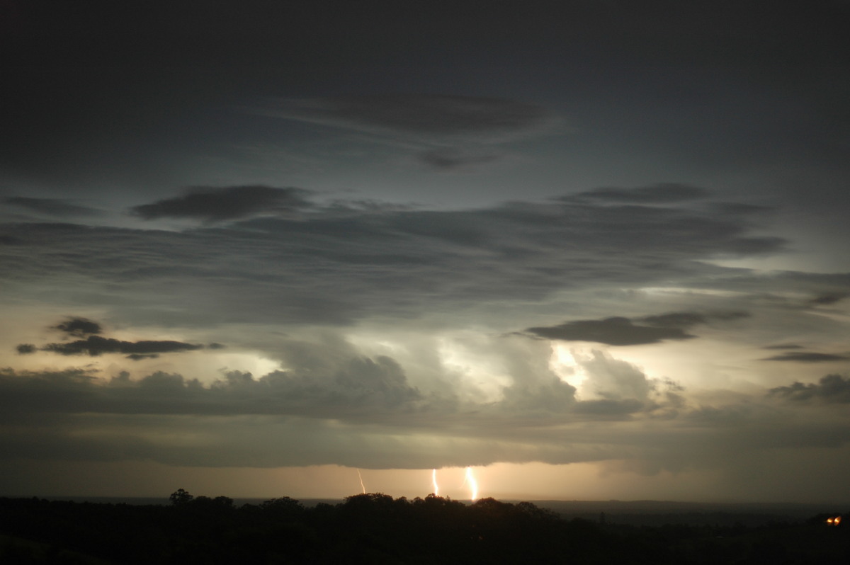
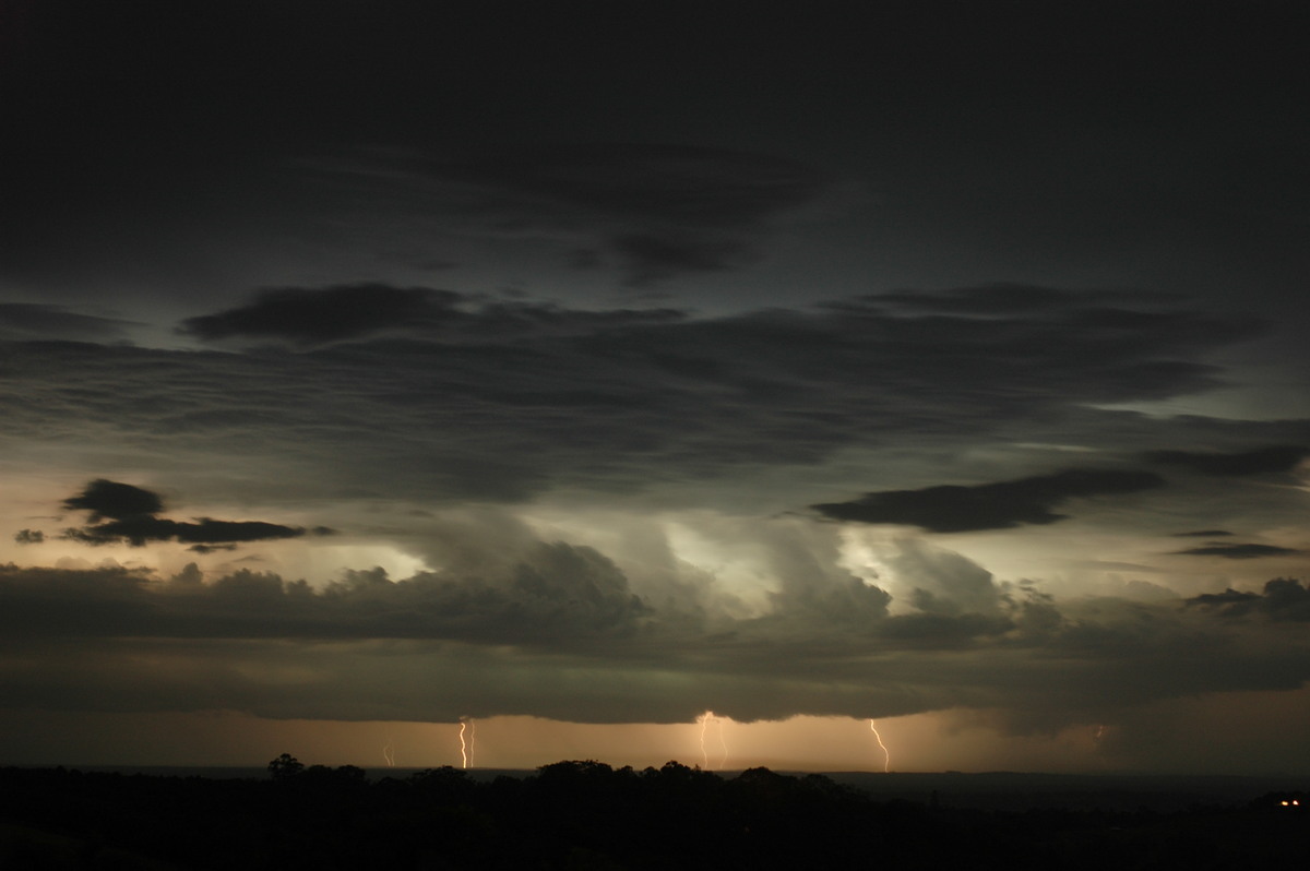
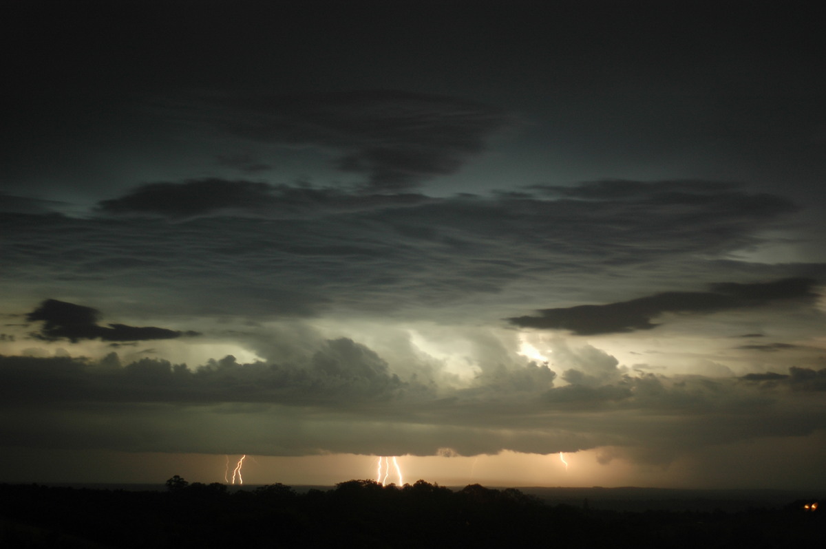
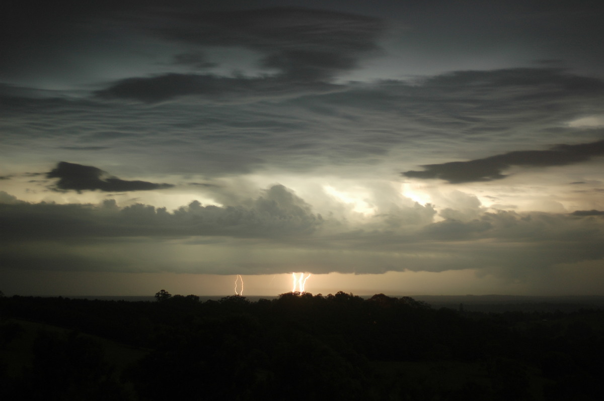
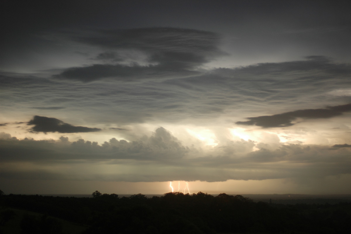
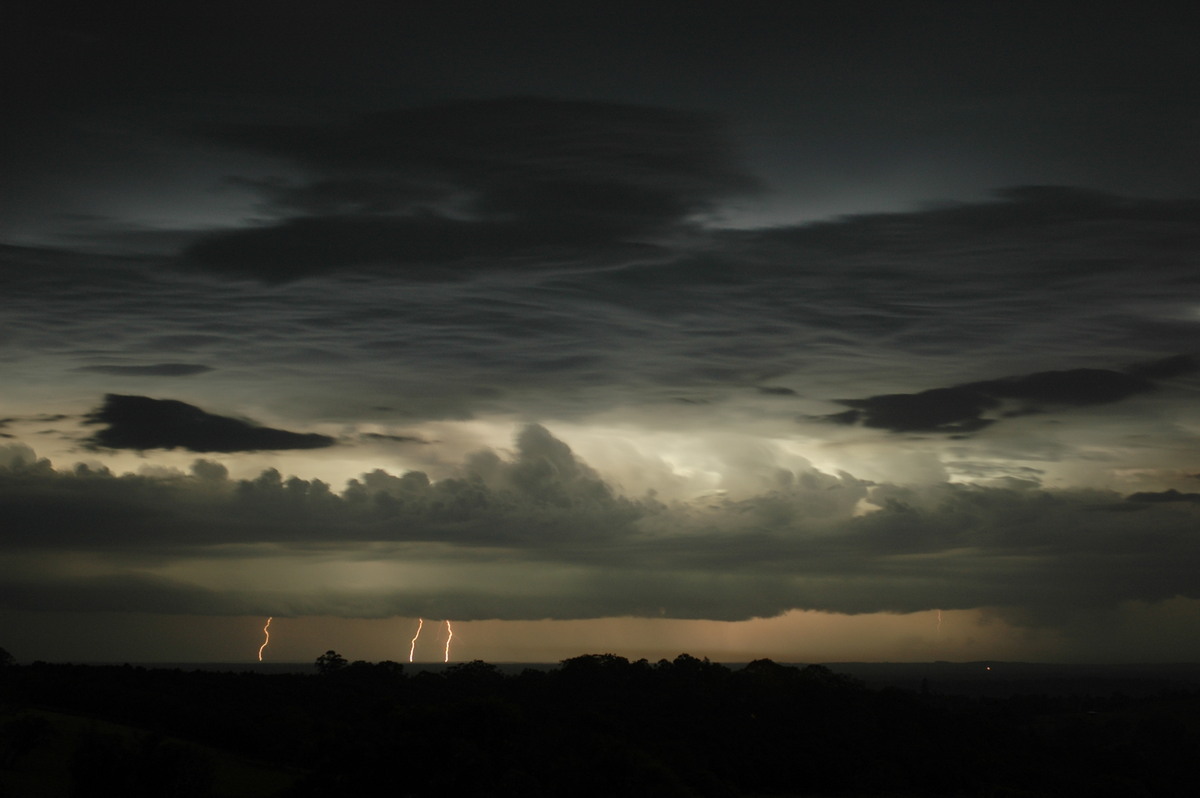
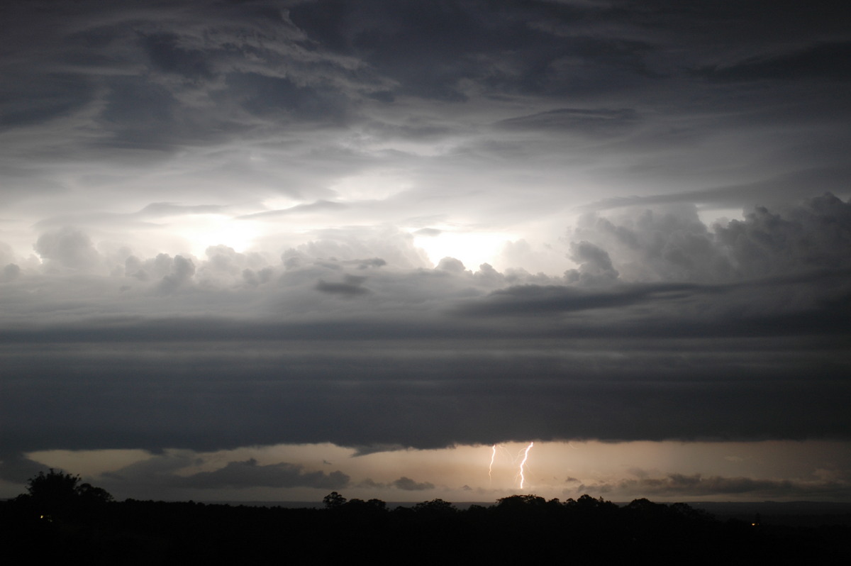
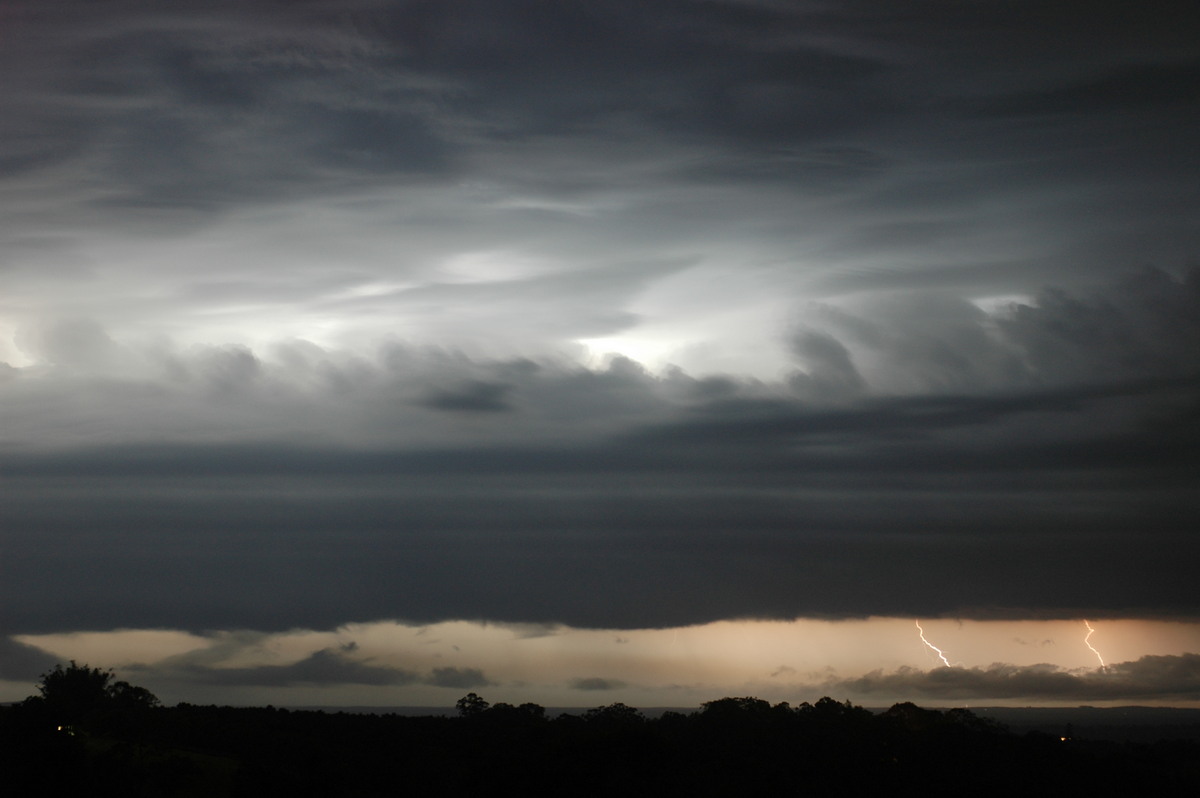
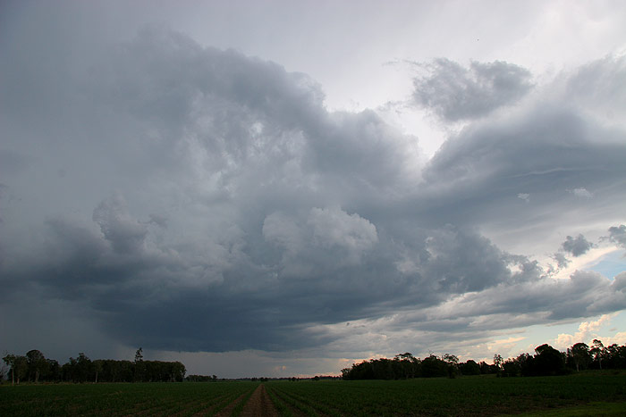
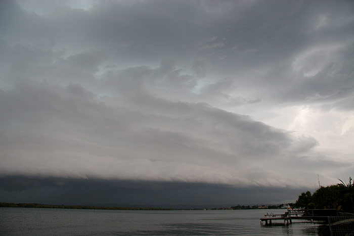
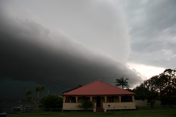
I spoke with Michael Bath, who was near Wyrallah photographing the storm as
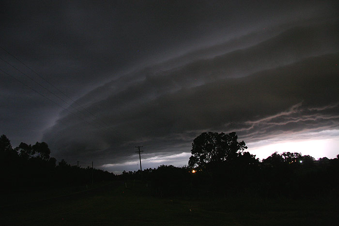
it passed over his location. He took the following photos during the afternoon.
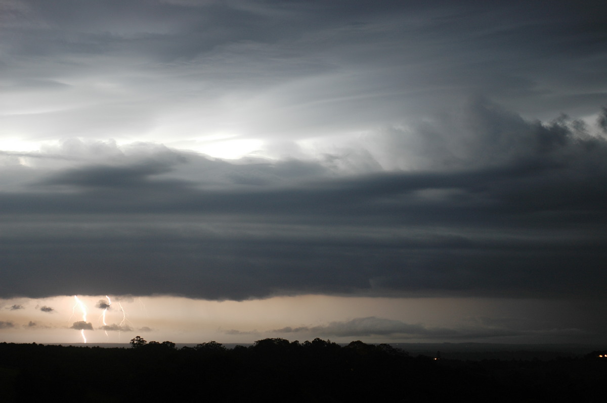
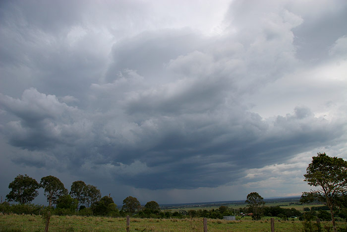
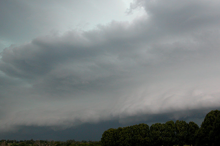
The greenage, the pulsating CGs, the large shelf cloud developing – it
was all just so spectacular! A lot of the CGs were occurring behind the trees
to my SSW, so I decided to head to the river at Ballina for a better view of
the incoming storm. Not before some more photos of this menacing looking storm!
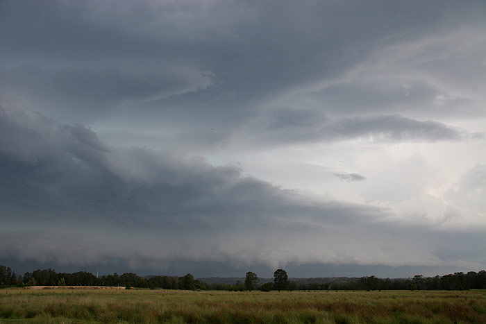
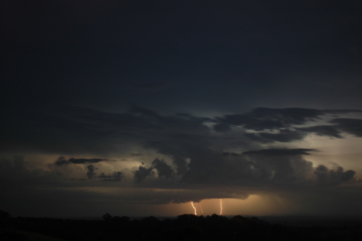
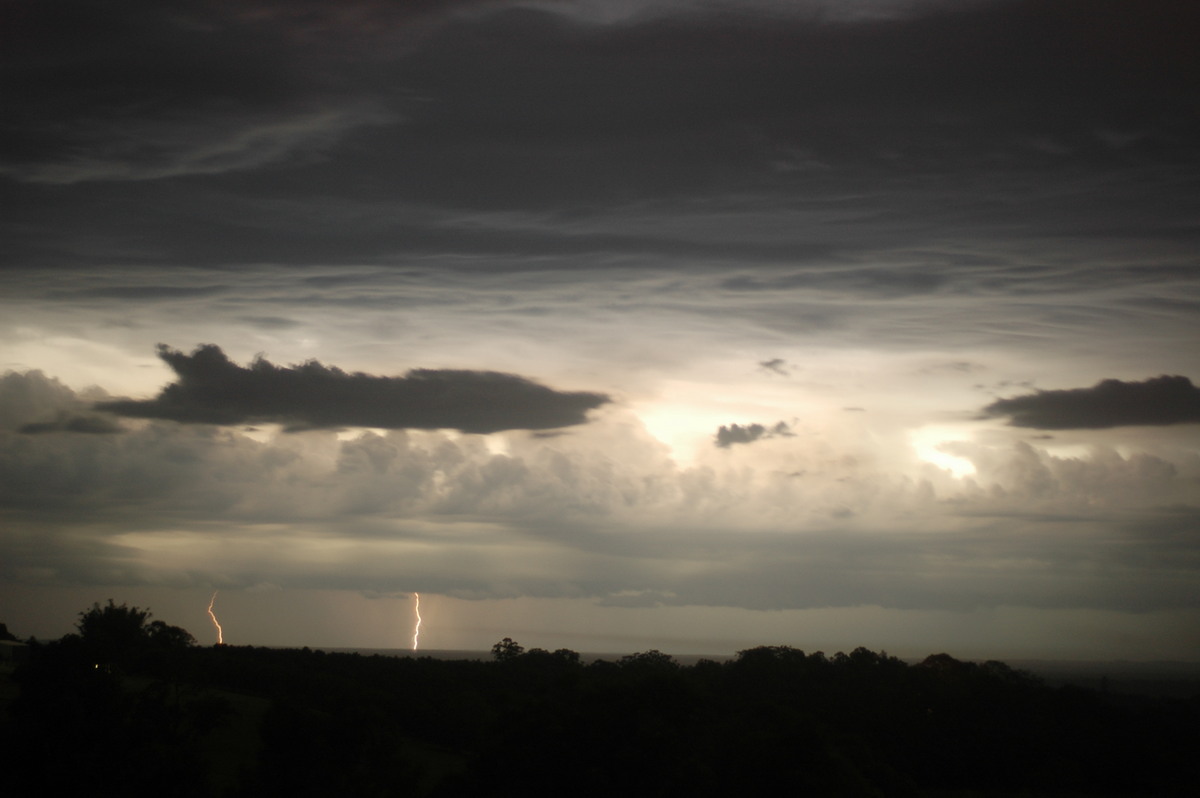
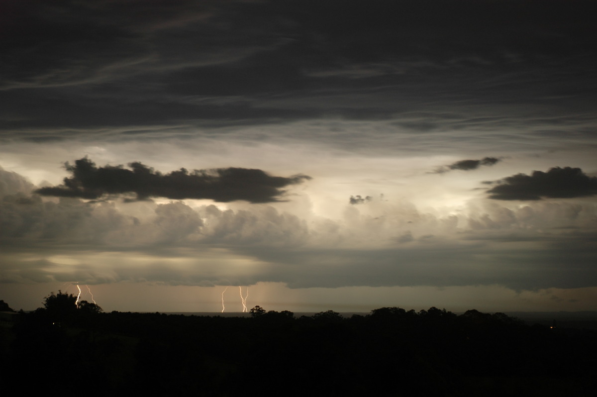
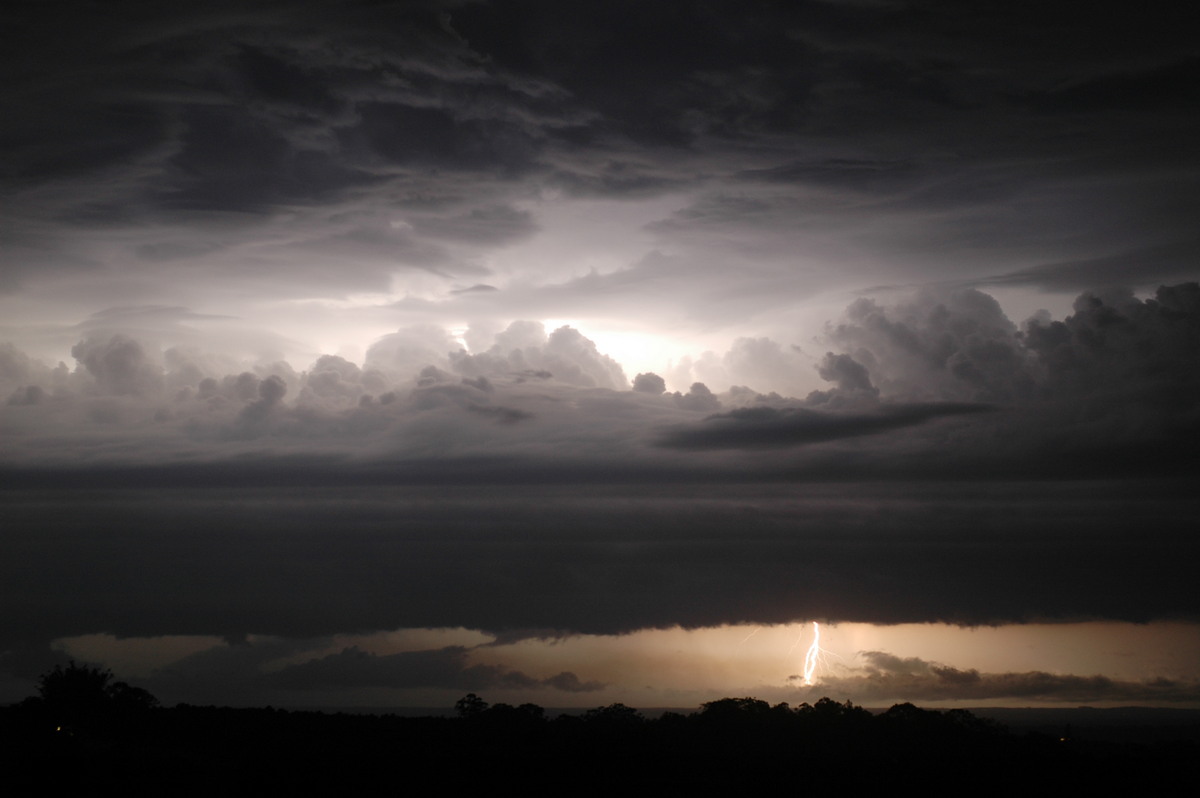
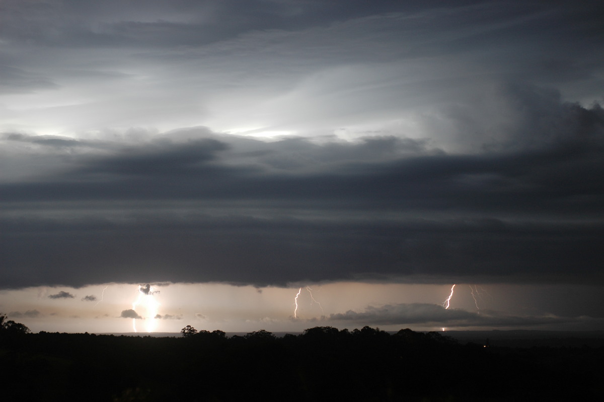
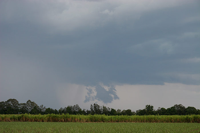
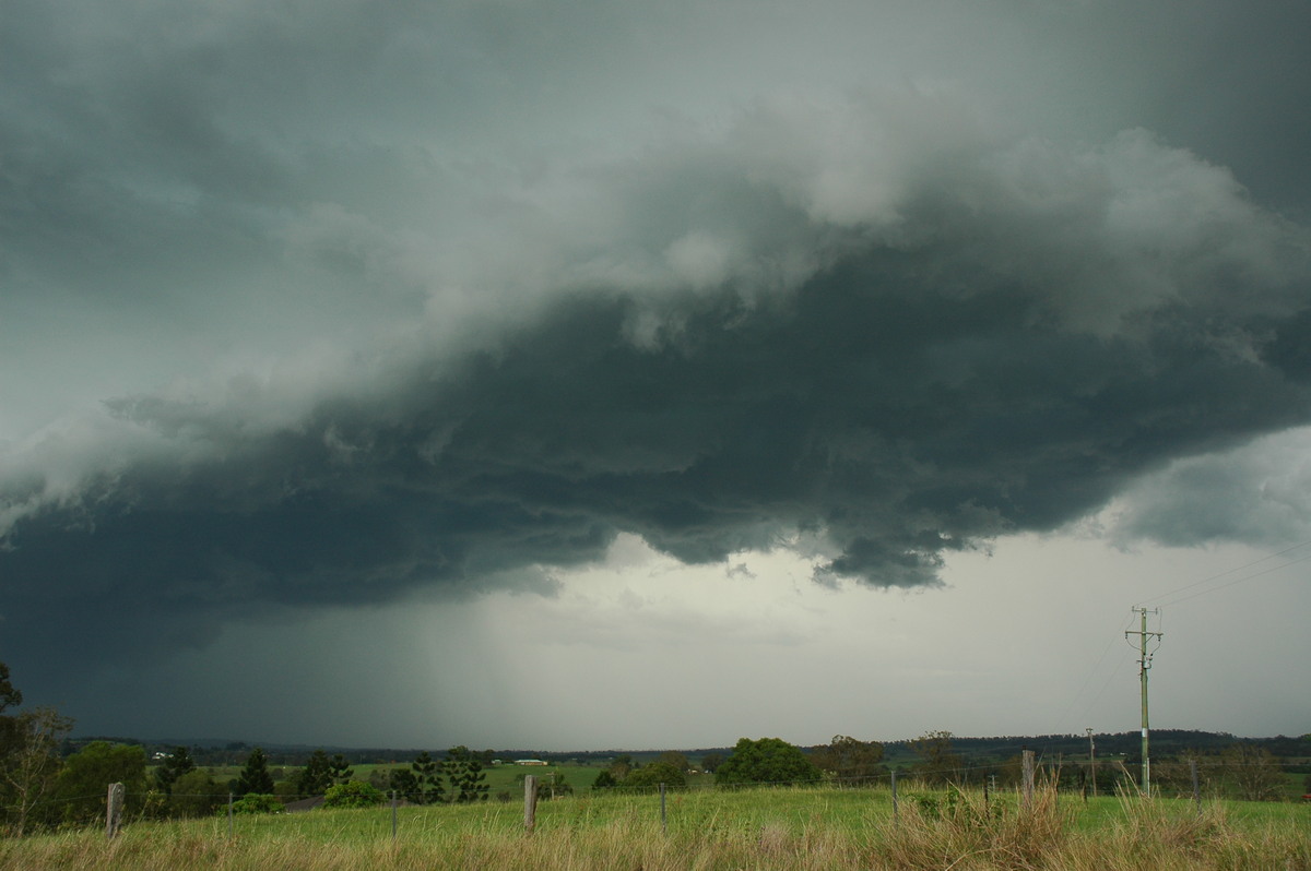
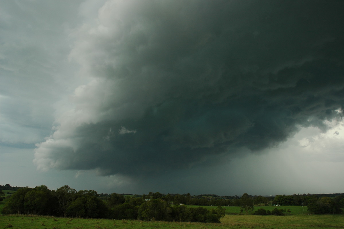
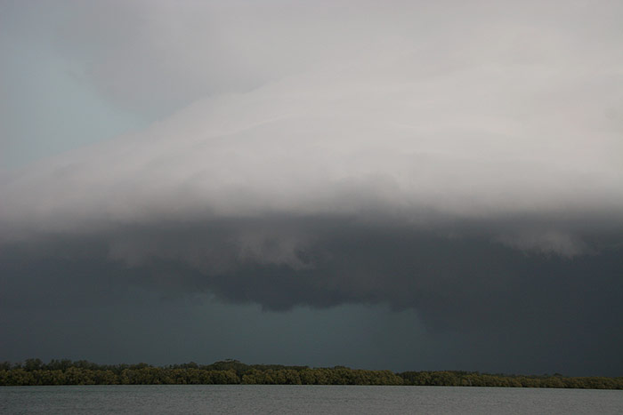
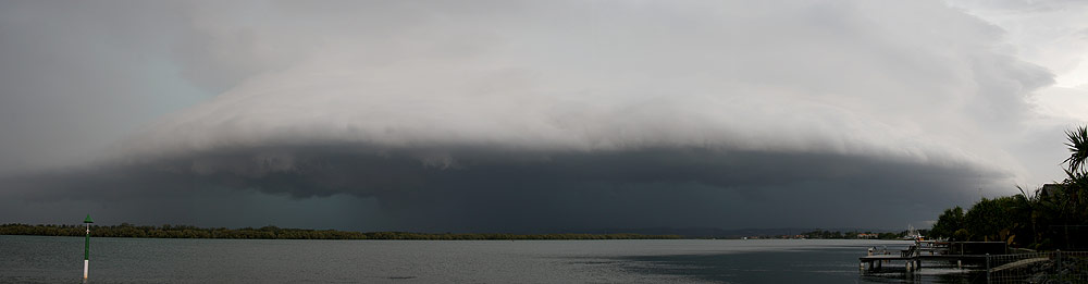
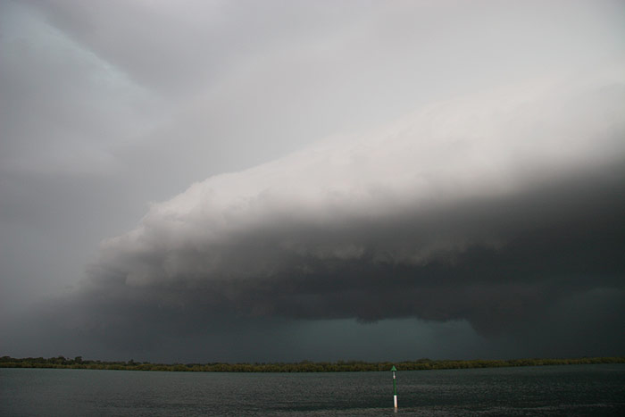
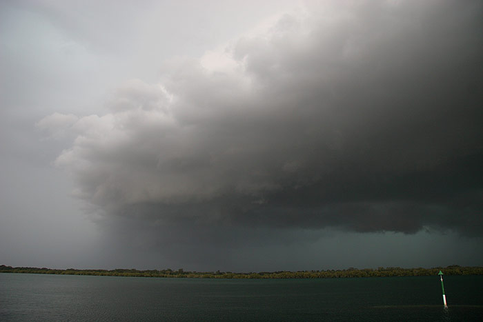
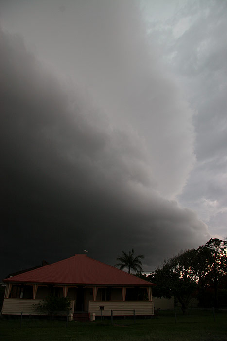
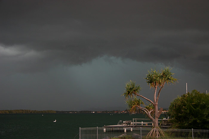
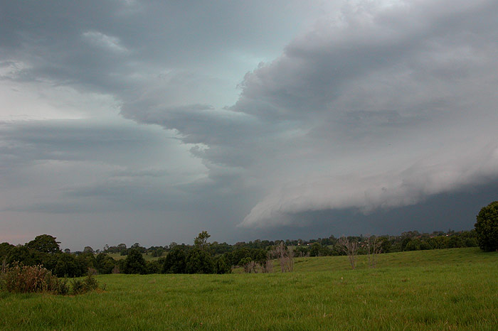
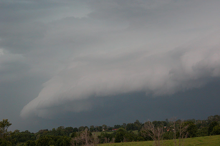
Both the green colour and the darkness of the storm as I reached the river were
pretty full on. Thunder was constant now, though the CG frequency was reducing.
I sat by the river snapping away with the camera as the cell moved closer.
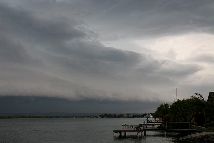
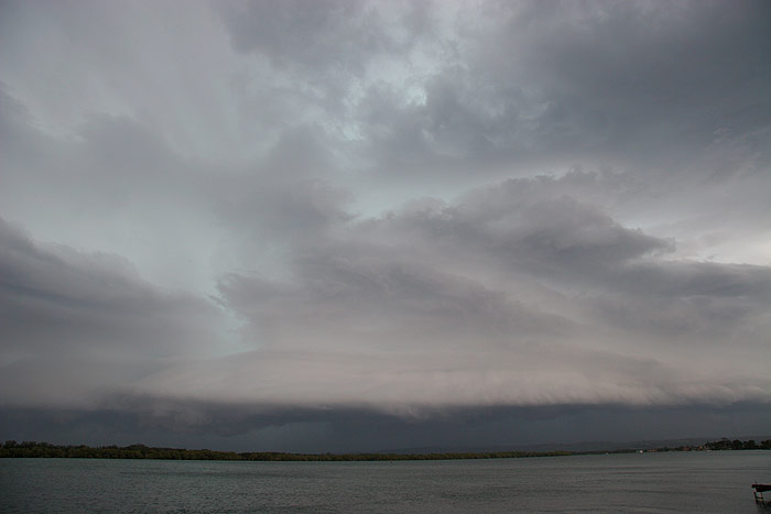
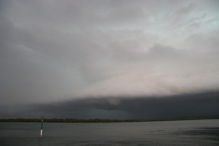

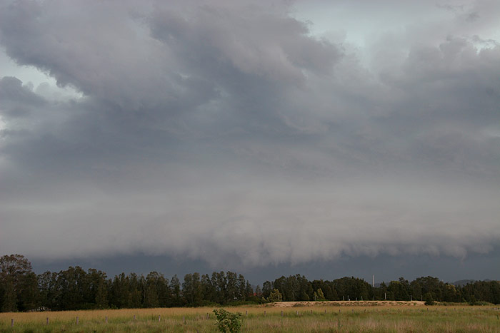
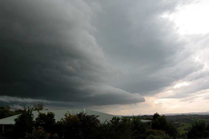
Under the SE edge of the gustfront was an area of pronounced rotation, with
what looked like extremely heavy rain occurring to the NW of this area.The cell
really did look so ominous. It was so dark for 4pm in the afternoon!
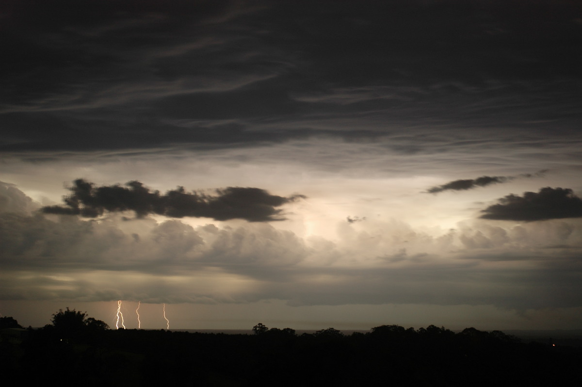
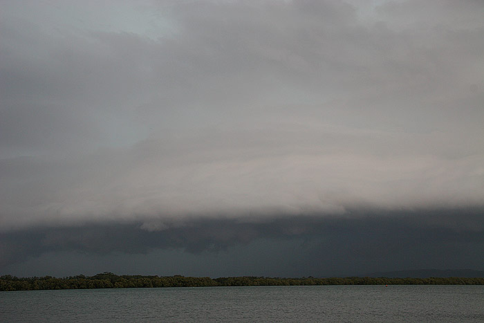
With the
cell almost overhead I decided it was nearly time to head N. I had gotten a
radar update from my parents, and they said the cell was heading E and was going
to pass out to sea S of Ballina. The sky certainly indicated that Ballina was
going to cop it, but I had put enough faith in their radar skills to make the
decision to head N and avoid the core. A few last photos before I shot N.
Well, there
was two flaws in my plan. Firstly, the storm was actually heading NE, contrary
to the radar update, and it was in fact heading straight for my escape route.
Secondly, trying to get onto the Pacific Highway from the S entrance of the
main roundabout after 4pm actually takes about 5-10 minutes to do, so the rain
had already started by the time I actually got onto the highway. I raced along
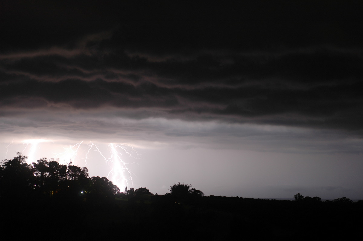
the highway, with the black and green sky, which was being illuminated every
few seconds by powerful lightning bolts, sitting right beside me. I wish I’d
been able to stop to get photos of the turbulent green sky just before I entered
the precipitation core – it was the most purely volatile atmospheric scene
I had seen in some years. The plan was to get to a powerline and tree free area
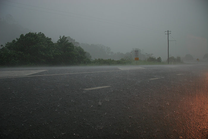
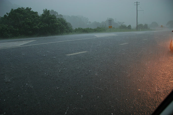
to ride out the storm. I stopped near Teven golf course when the wind blown
torrential rain made driving impossible. The winds were certainly severe, reaching
over the 90km/hr mark and rocking the car as it was blasted with extremely heavy
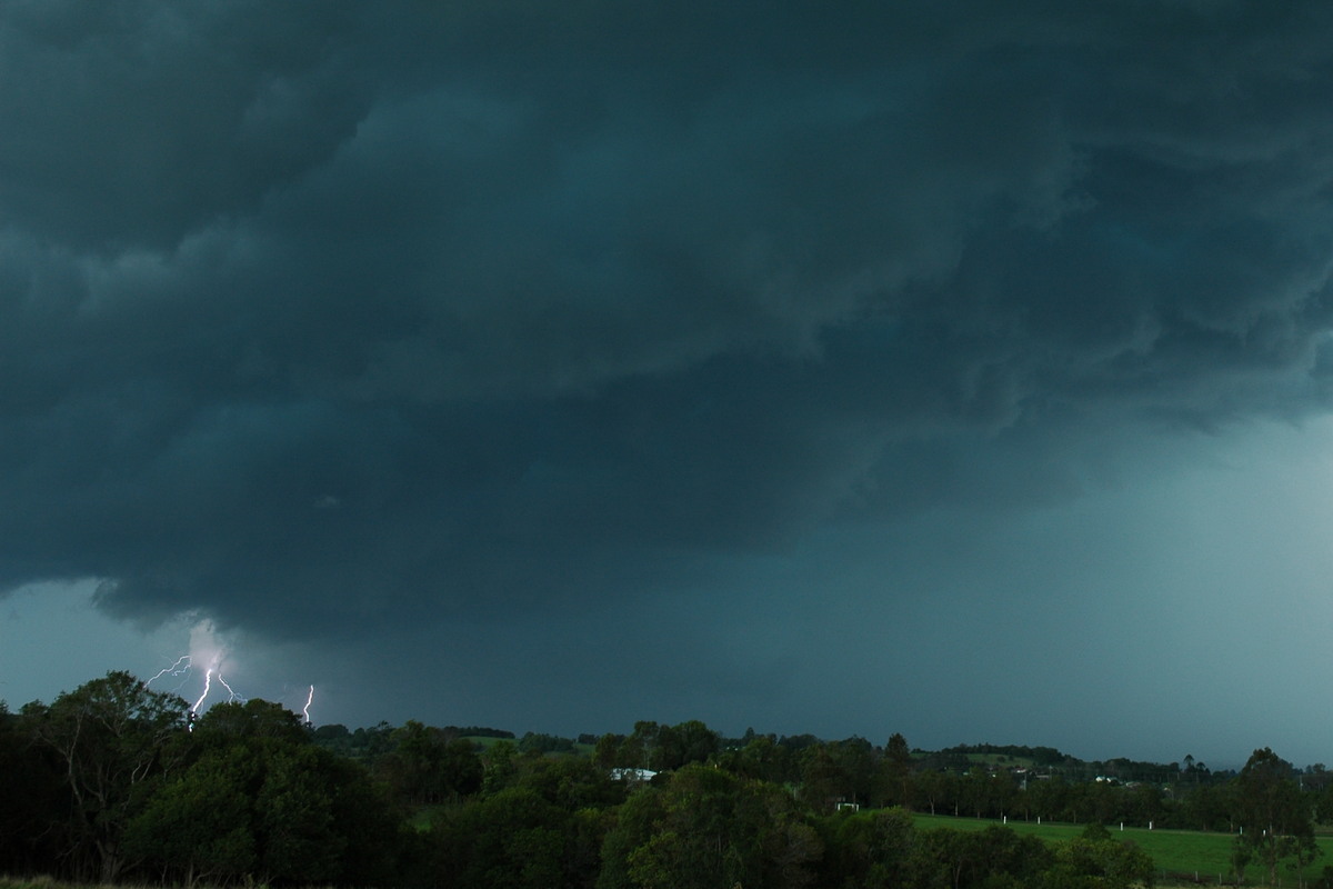
rain. There was no shortage of CGs either, with a flang occurring every 20 seconds
or so. 4 cars had now pulled over next to me in the full on conditions. I spoke
again with Michael on the phone, however the wind, torrential rain and flang
after flang made it impossible to hear him. Just before I hung up though, I
head the first ‘ping’ noise and thought ‘uh oh’.
All of a
sudden torrents of hail reaching up to what I estimate to be around 4cm in diameter
(though most was 2-3cm with very few 4cm stones) began smashing into the car
– their velocity increased by the violent winds. The sound of the hail
on the roof was amazing, and it was the most full on weather I’d experienced
in the car for some years! It seemed to last for quite some time – enough
for the ground to begin to turn white from the hail. As the wind and rain eased
a little, I decided to head back towards home, though pea sized hail was still
falling. Large branches and trees, along with flash flooding had blocked the
road, and I had to take an alternative route back home. When I arrived home
I found that we’d had 42mm of rain falling at up to 190mm/hr, with hail
up to 3cm in diameter, and a roof full of water from a major leak! Dad had taken
the following pictures of the storm from our home.
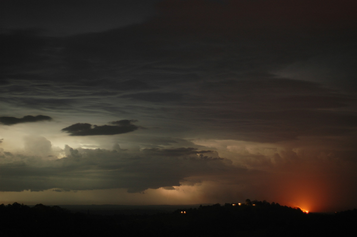
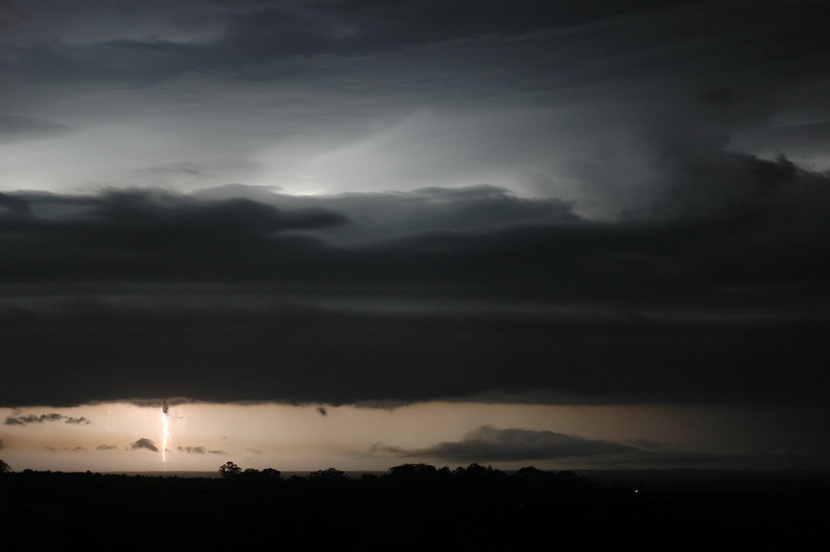
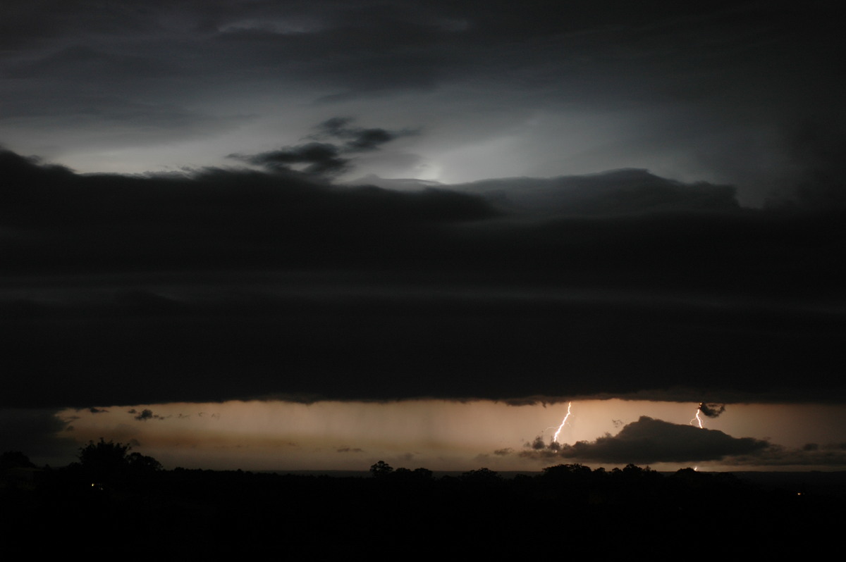
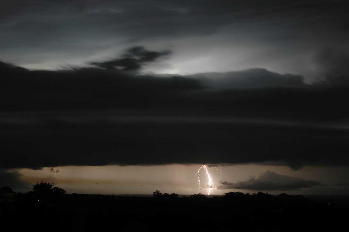
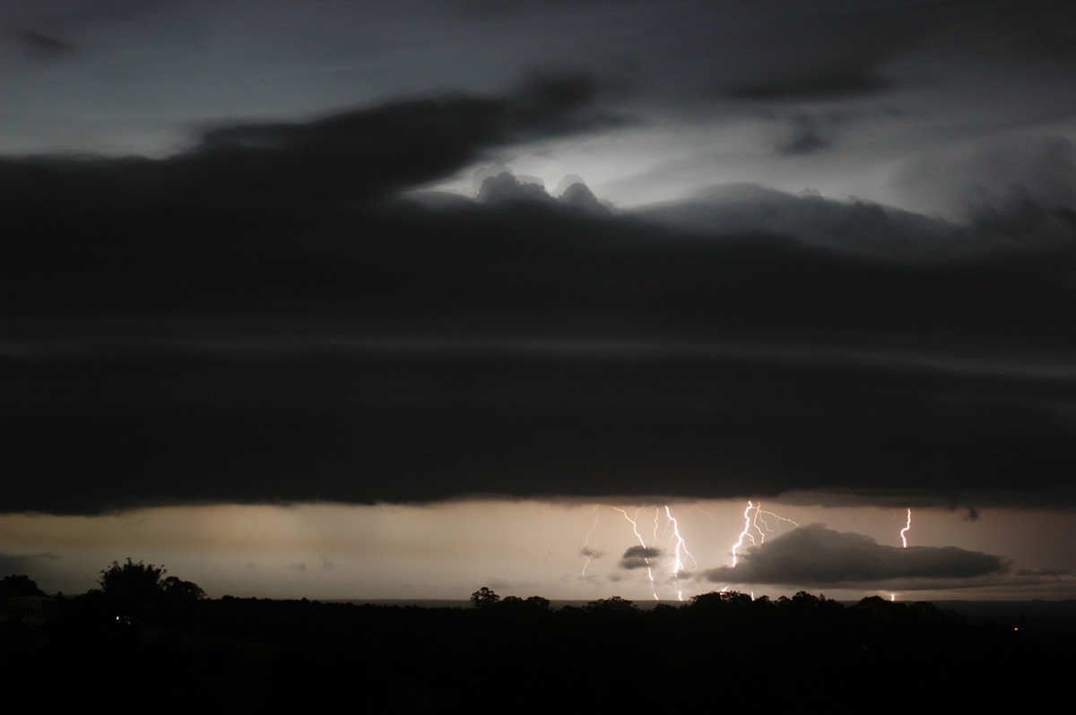
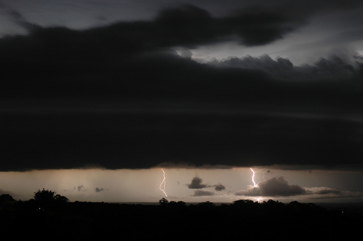
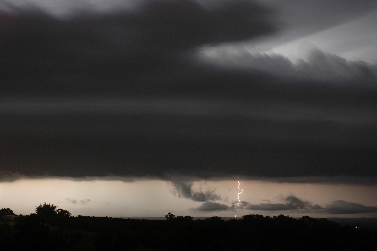
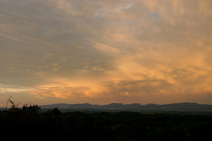
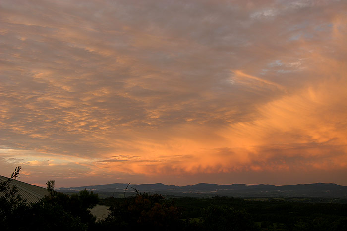
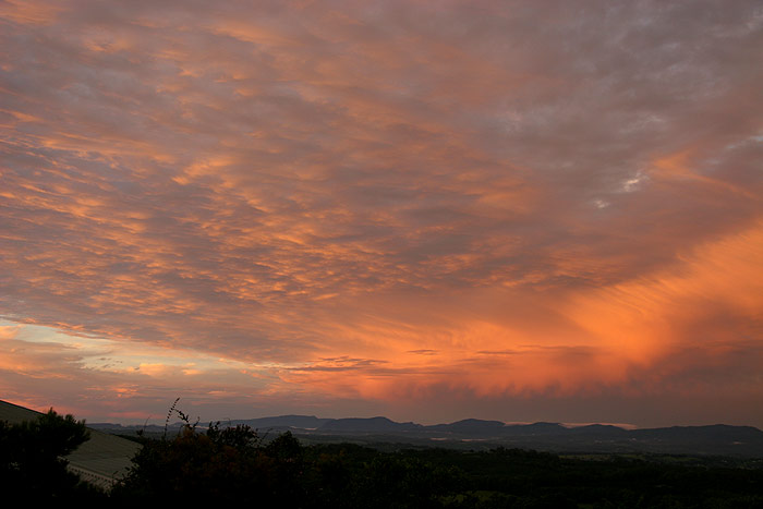
Loud thunder
seemed to continue for quite some time after the storms had passed and moved
into SE QLD, where they caused quite a bit of damage. As the sun set, the storms
moving away in the distance were illuminated some beautiful colours, and it
seemed like quite a peaceful setting following the severe storm which had torn
through a few hours before.
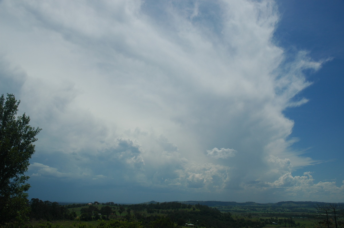
Friday 9th December
The surface trough was forecast to move though the northern parts of the Northern
Rivers during the morning/early afternoon, bringing cooler SE winds. Despite
the very dry atmosphere in the mid and upper levels, and gradually drying low
levels, we had still expected a few storms to develop on a convergence line
along the ranges to the W. And as expected, storms did begin to develop in this
region just around midday.
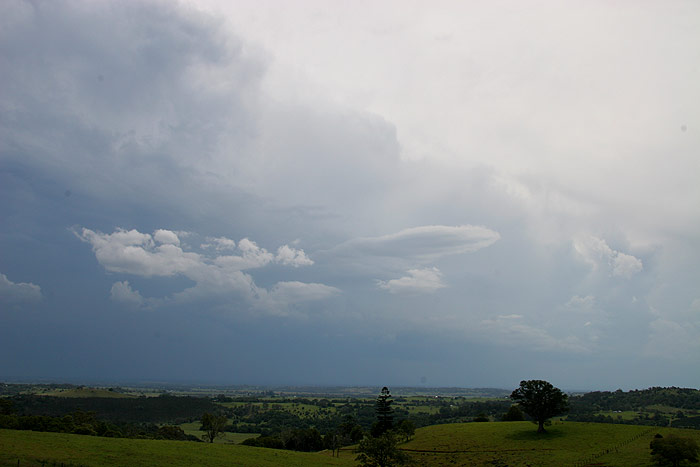
Michael and
I headed to Tregeagle for a closer look, however it was clear the southern most
cells were weakening quickly as the atmosphere dried out. A cell WNW of Lismore
became the focus.
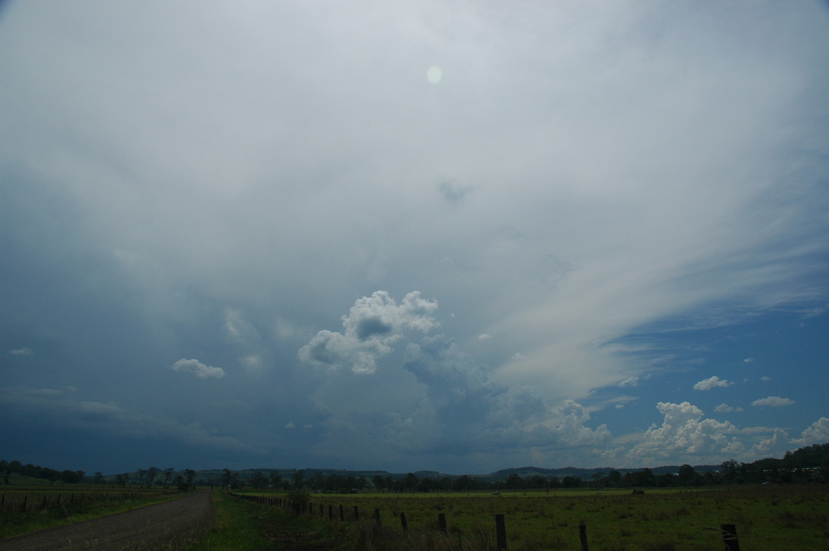
We headed
to Bexhill and stopped to watch this cell move towards us, and a cell NW of
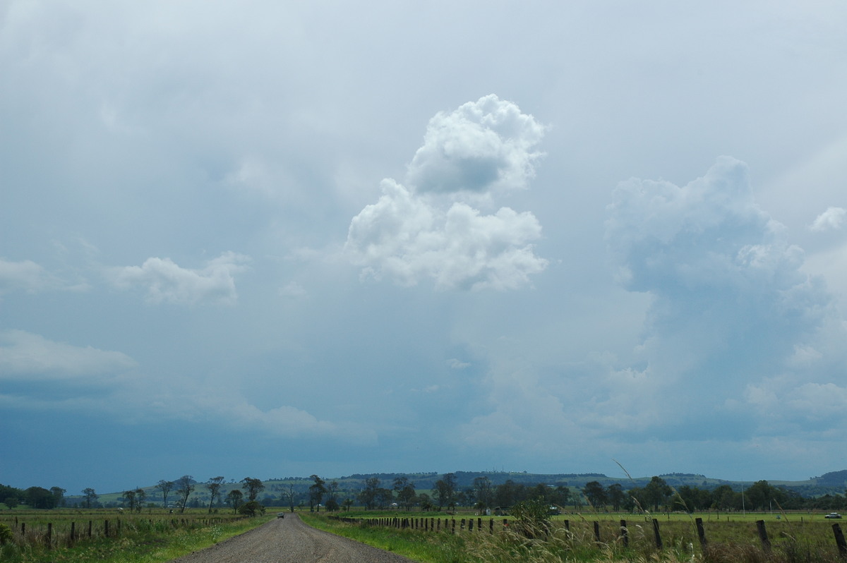
Kyogle which was producing lots of anvil. The cells were quite obviously weak,
with the one to our W slowly dying, but it was still interesting to watch.
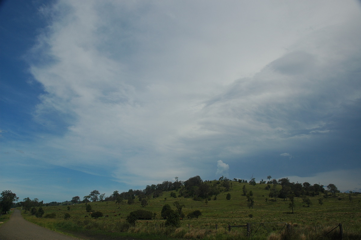
We eventually
moved to the lookout at St Helena, and watched as the cell that was now located
near Nimbin collapsed. Further development occurred NW of where the first cell
had collapsed, however it was obvious all the activity was gradually shifting
further N as the trough moved away.
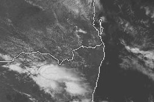
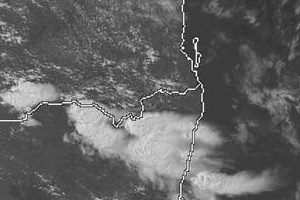
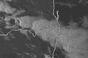
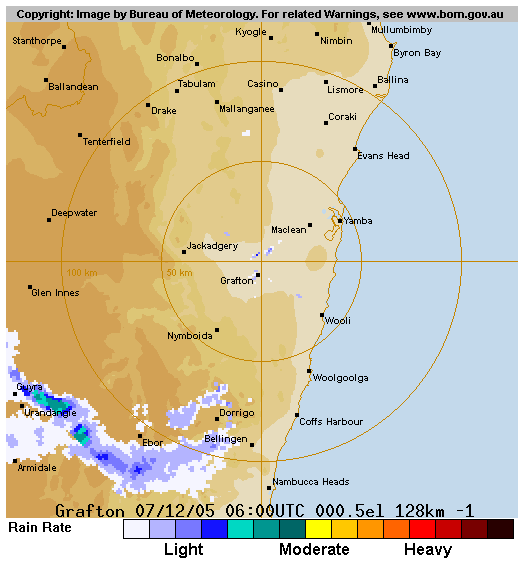
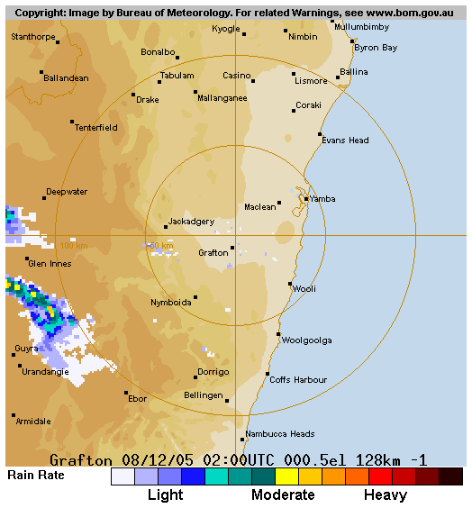
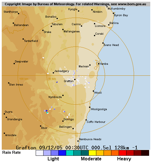
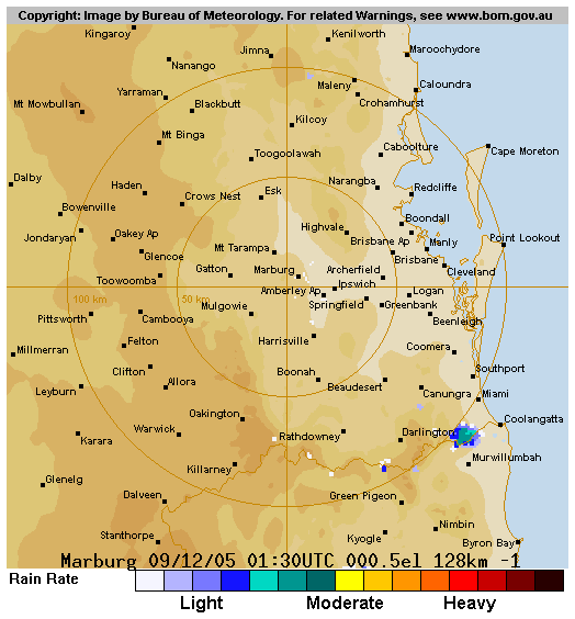
From Weatherzone
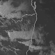
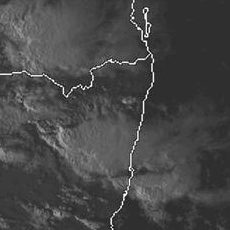 5pm to 6pm local 7/12
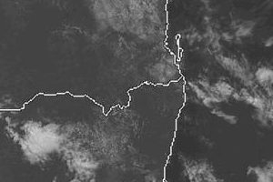
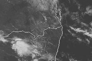
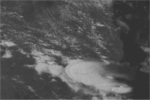
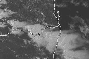
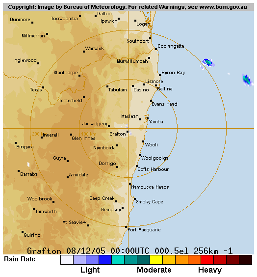
 11am to 6pm local 8/12
From Bureau of Meteorology
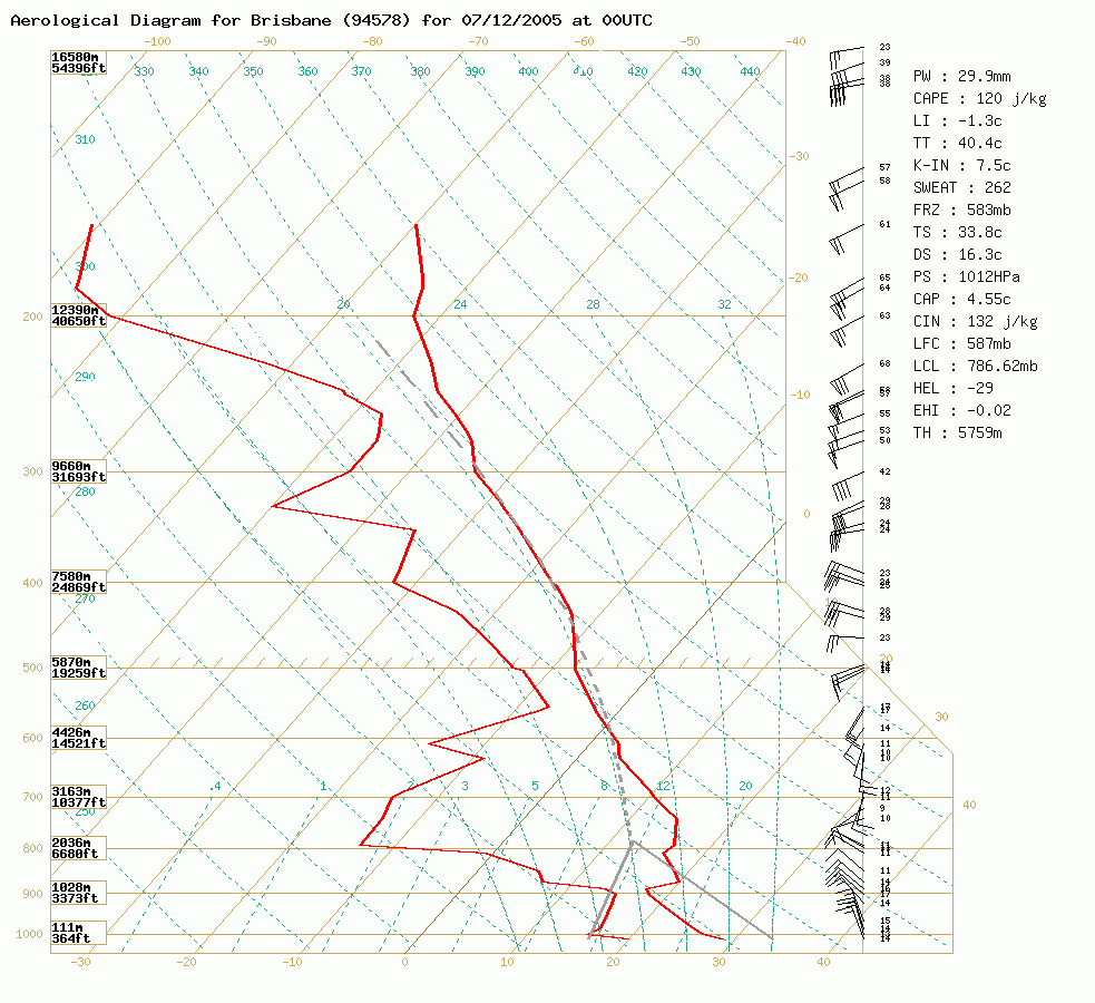
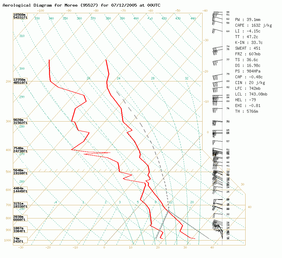 Brisbane and Moree soundings at 11am 7/12 local
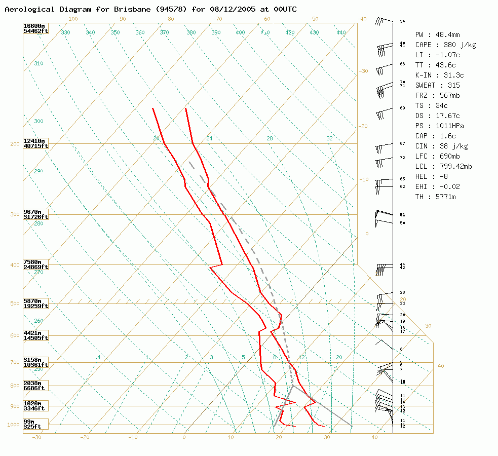
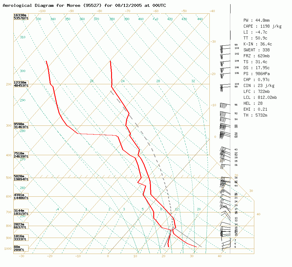 Brisbane and Moree soundings at 11am 8/12 local
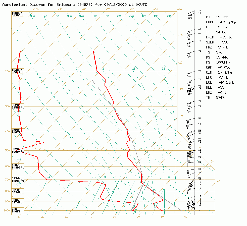 Brisbane sounding at 11am 9/12 local
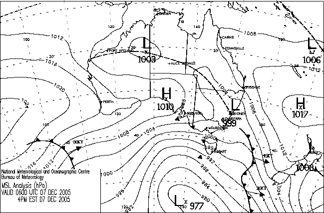
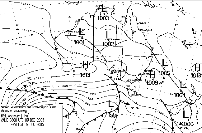
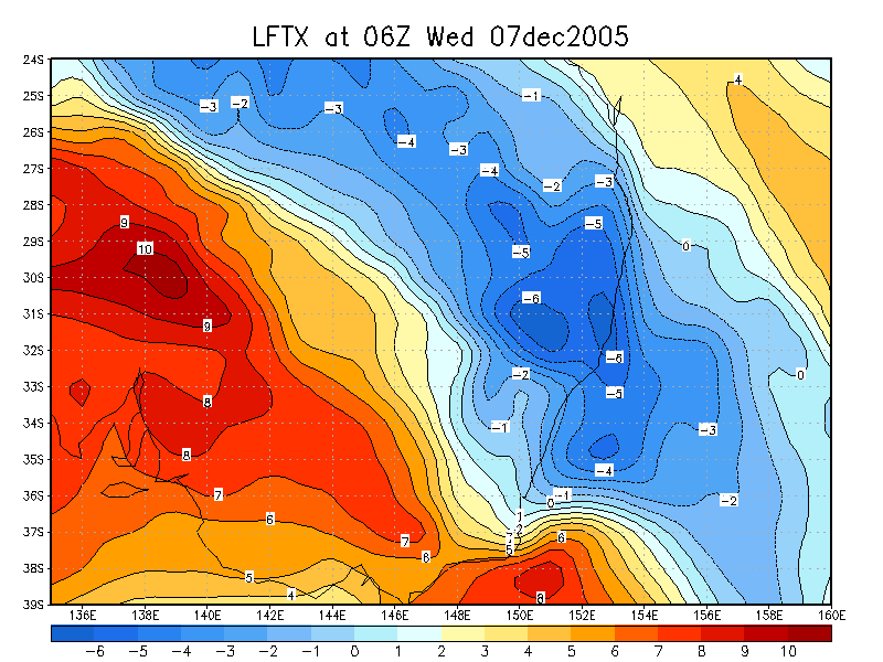
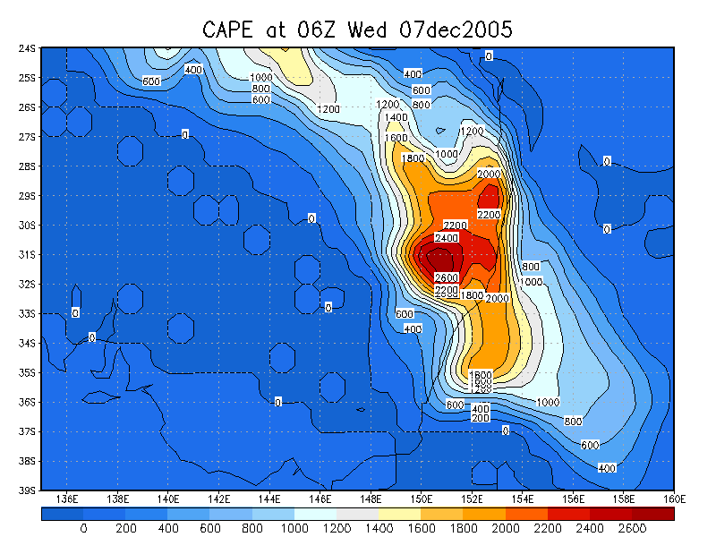
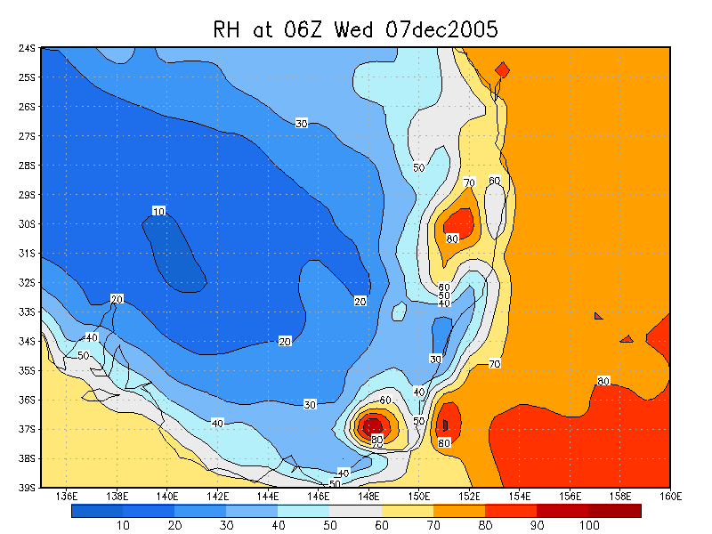
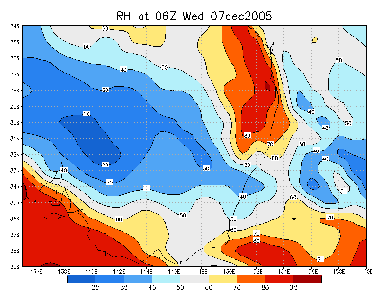
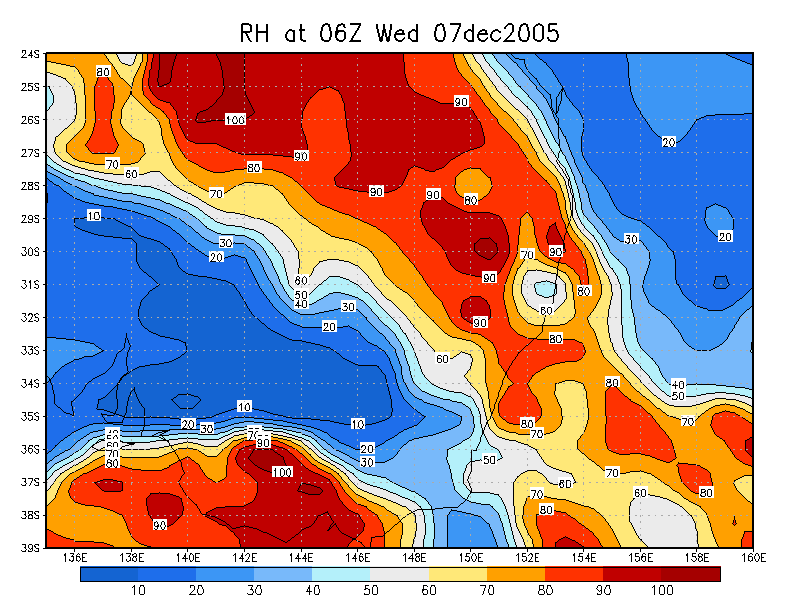
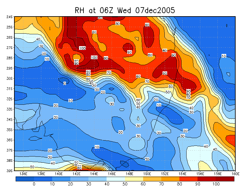
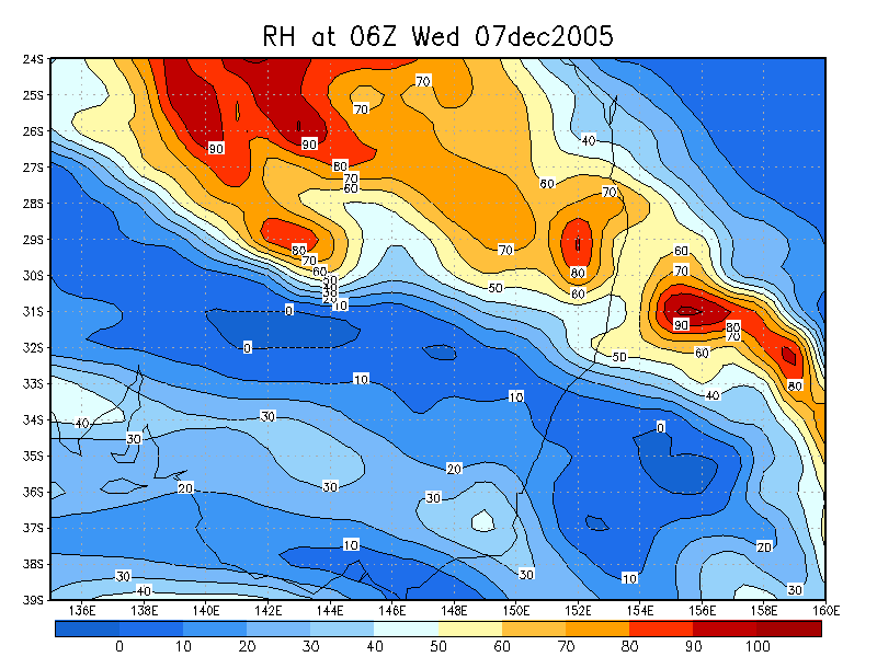
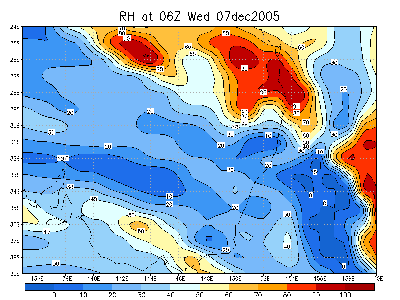
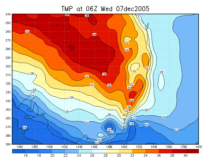
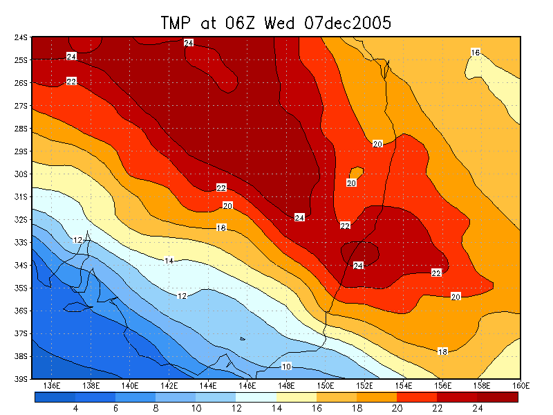
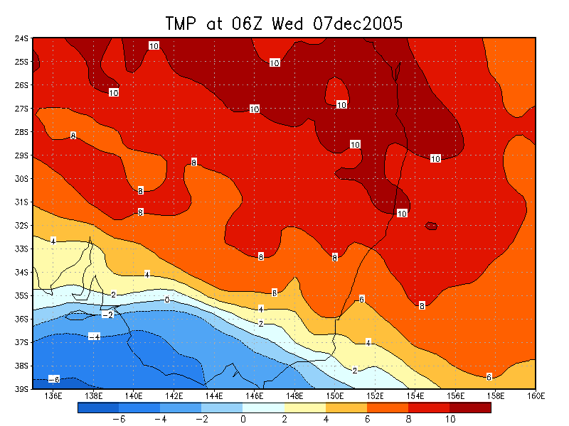
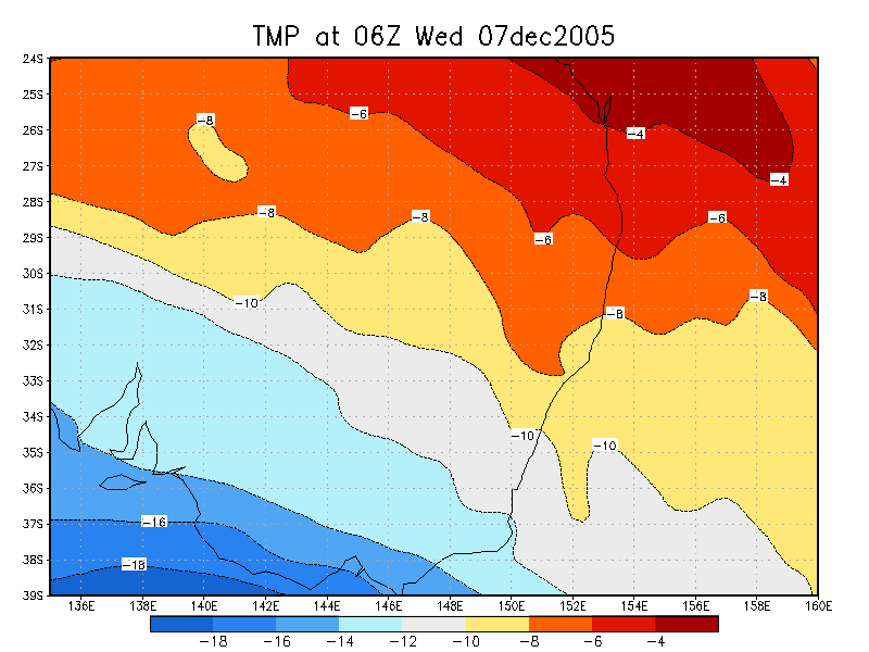
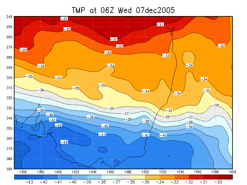
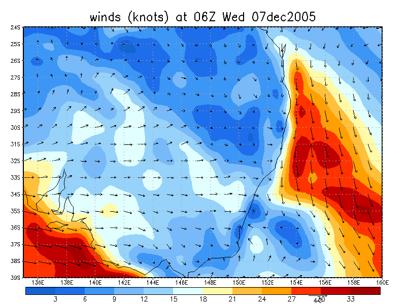
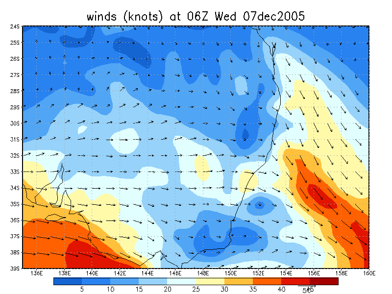
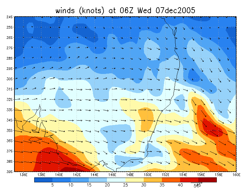
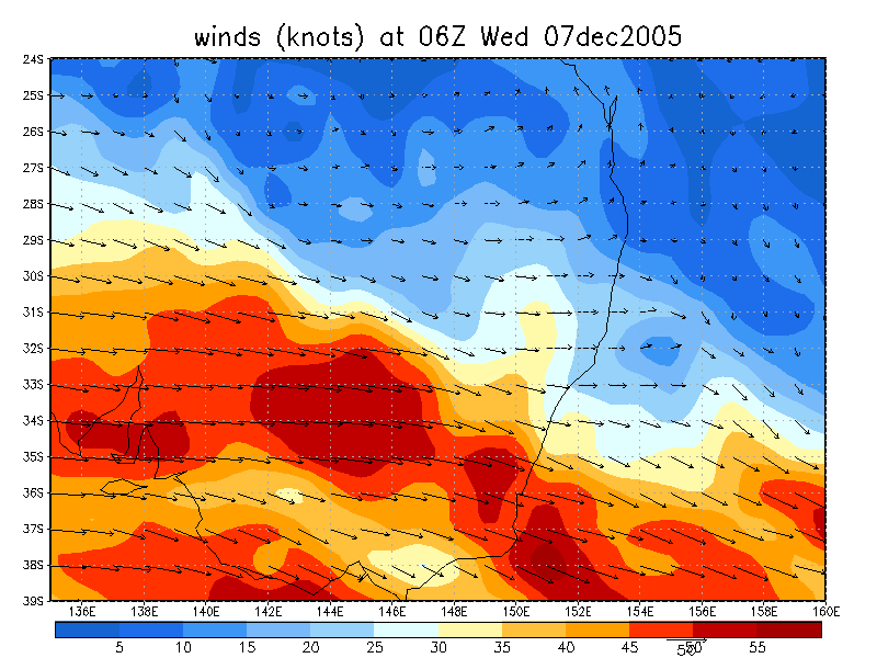
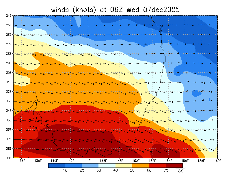
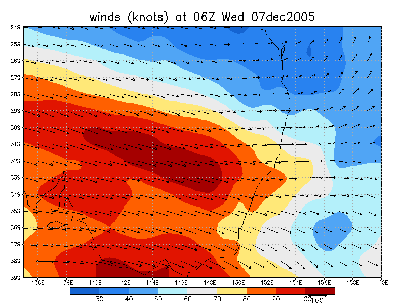
From NOAA 07/12/2005 06z analysis
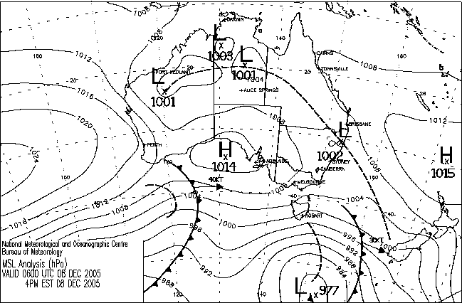
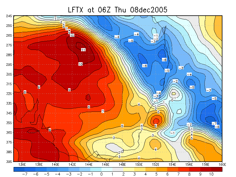
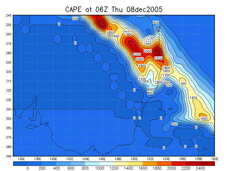
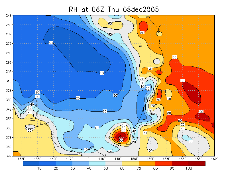
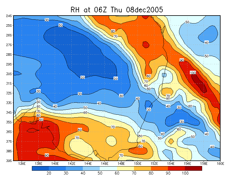
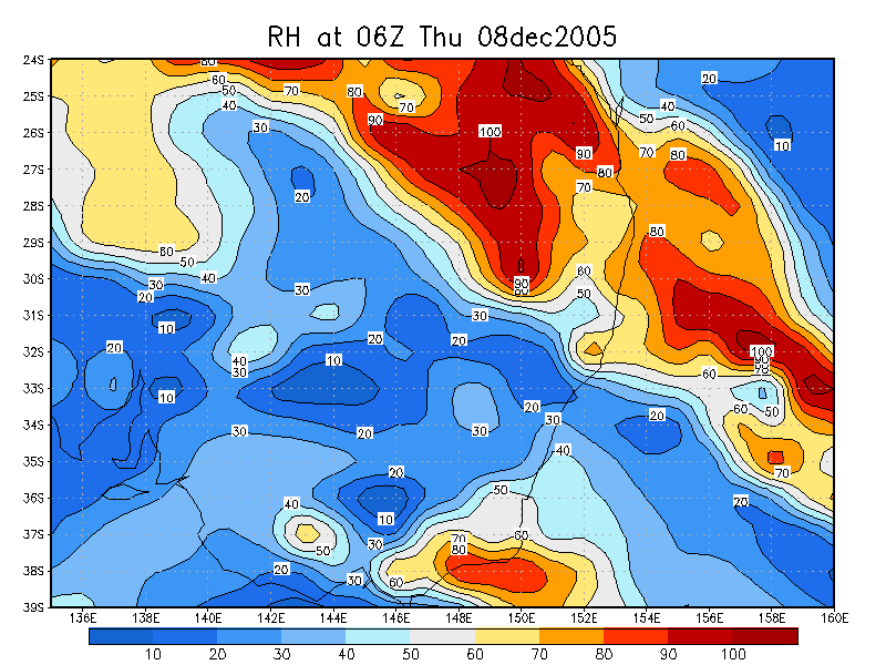
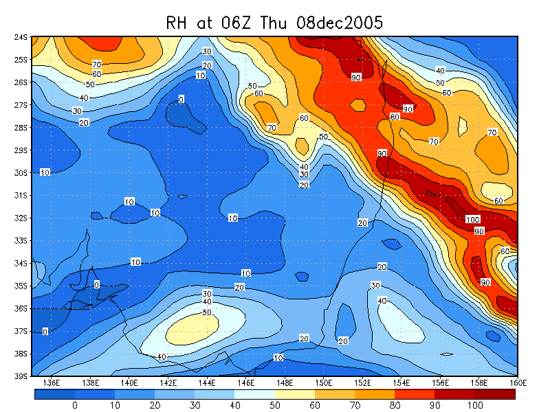
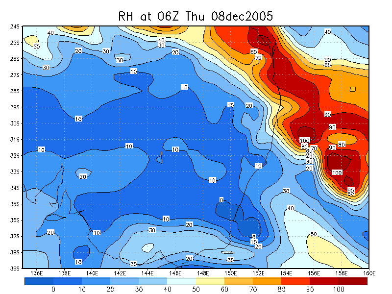
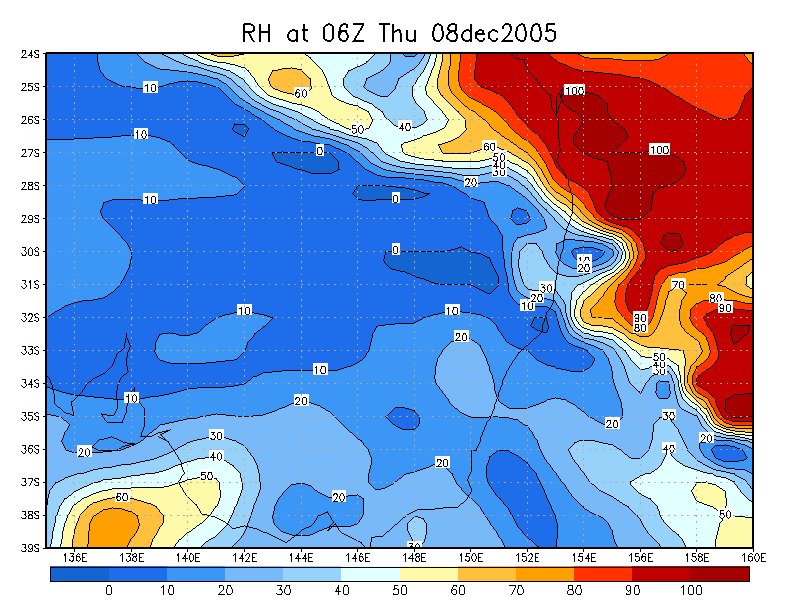
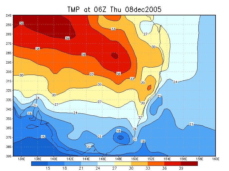
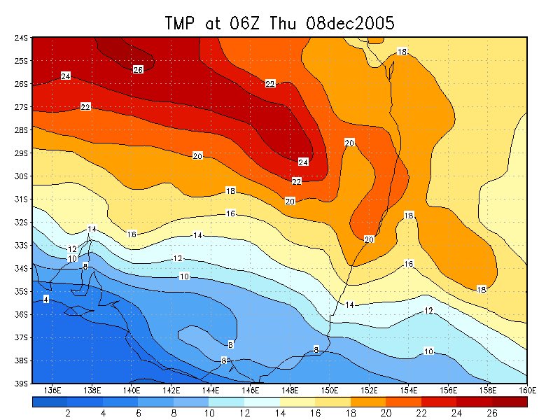
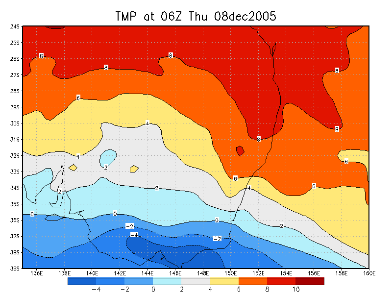
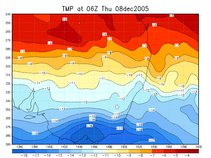
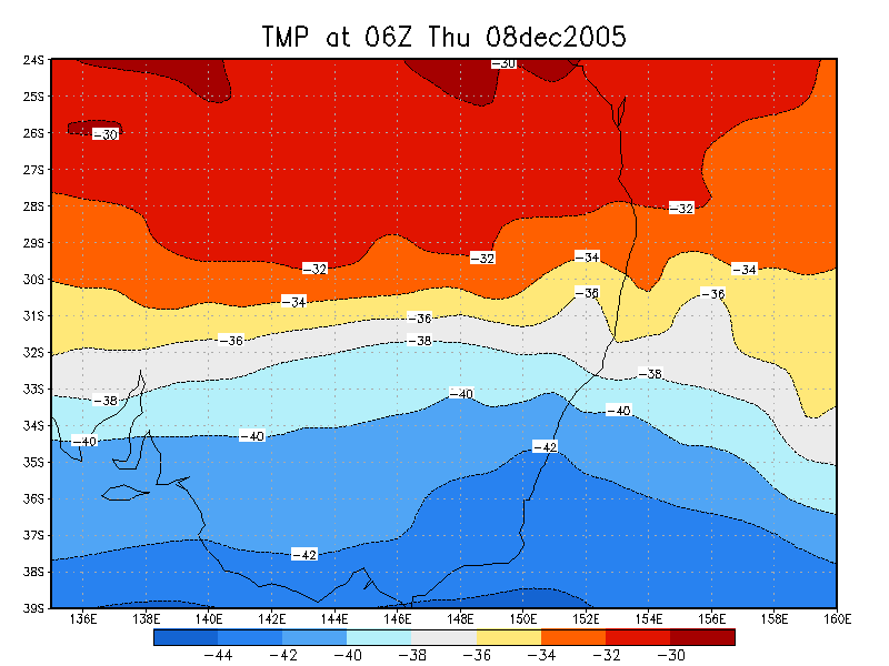
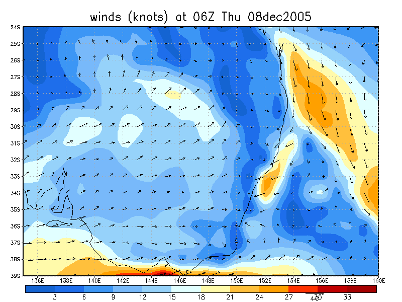
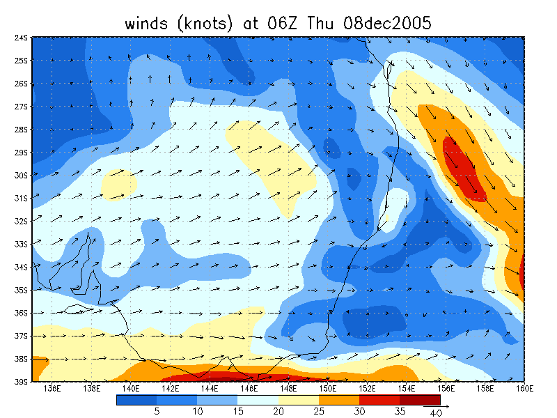
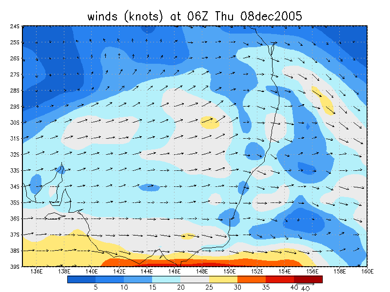
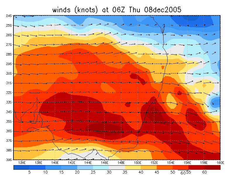
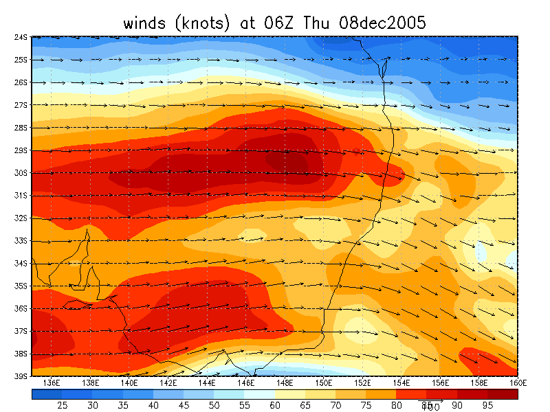
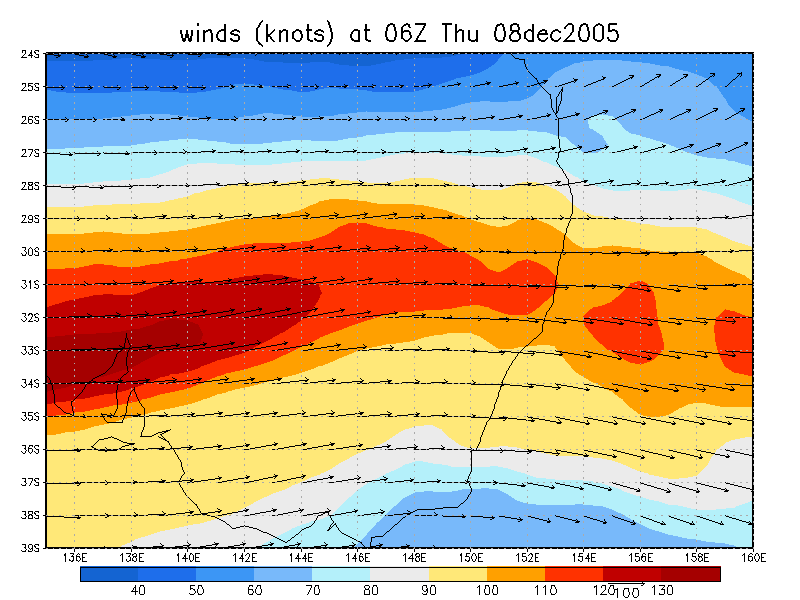
From NOAA 08/12/2005 06z analysis
|
Document: 200512-02.htm Updated: 24th December, 2005 |
[Australian Severe Weather index] [Copyright Notice] [Email Contacts] [Search This Site] |