and Chasing
[Index][Archives]
Severe Thunderstorm Images of the Month Archives - 2001
Other years: [1997][1998][1999][2000][2001][2002][2003][2004][2005][2006][2007][2008][2009][2010]
| Storm News and Chasing [Index][Archives] |
Severe Thunderstorm Images of the Month Archives - 2001 Other years: [1997][1998][1999][2000][2001][2002][2003][2004][2005][2006][2007][2008][2009][2010] |
|
Severe Thunder- storm images of the month: December 2001
This months photos |
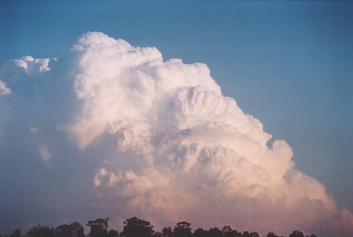
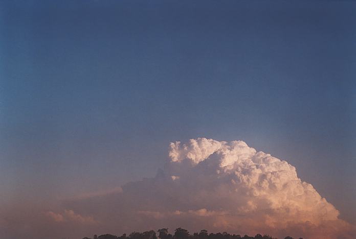
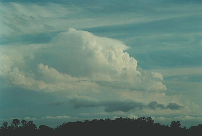
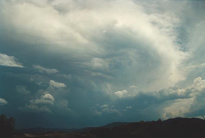
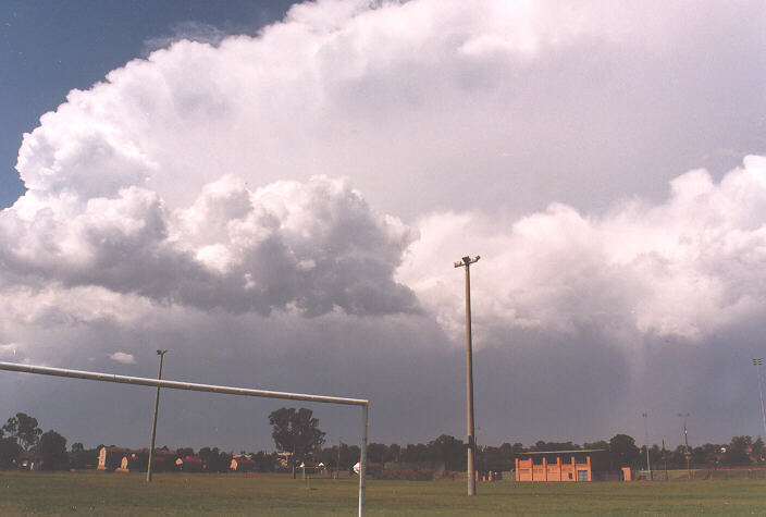
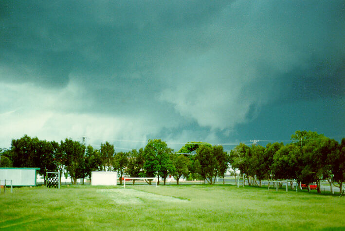
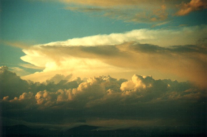
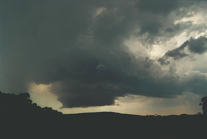
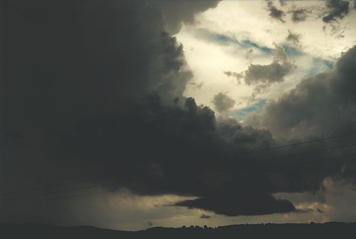
As was mentioned in the previous Storm News image of the month, on the 1st September, an isolated supercell developed and passed over Wyong. We were unfortunate not to be able to see the base structure of this storm so we had to enjoy the impressive outside development. These photographs were of the approaching storm.
|
|
Severe Thunder- storm images of the month: November 2001
This months photos |
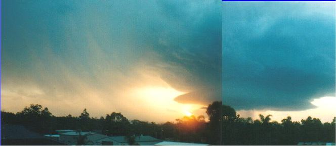
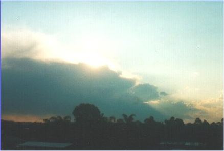
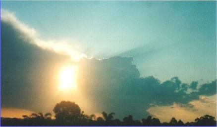
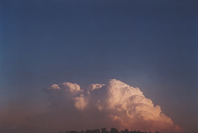
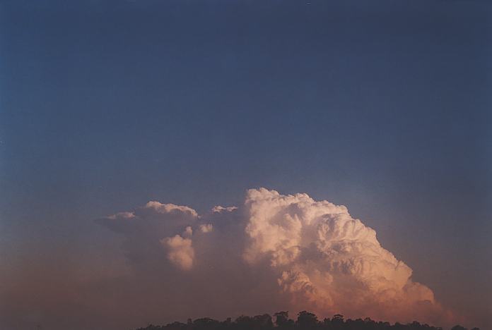
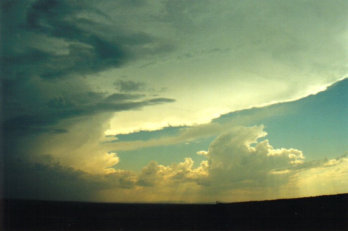
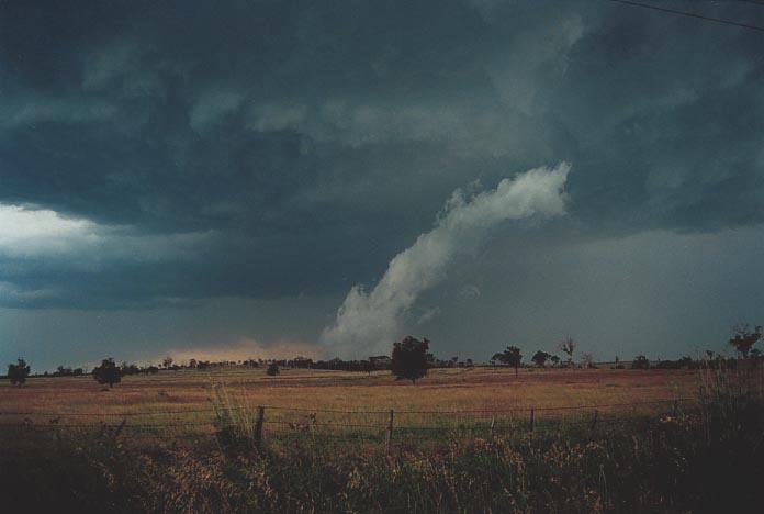
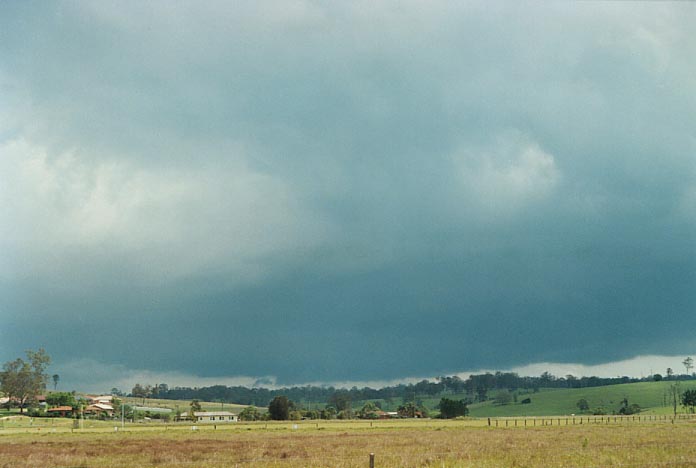
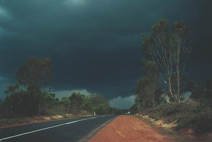
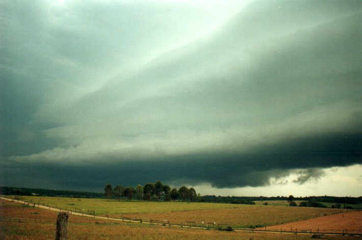
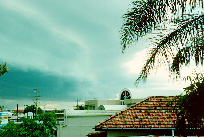
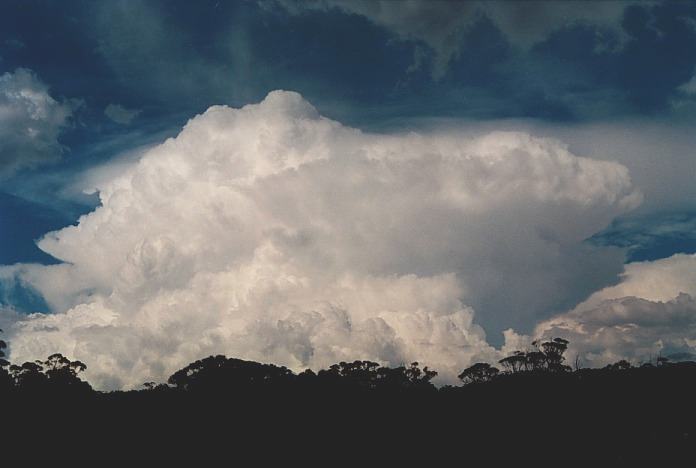
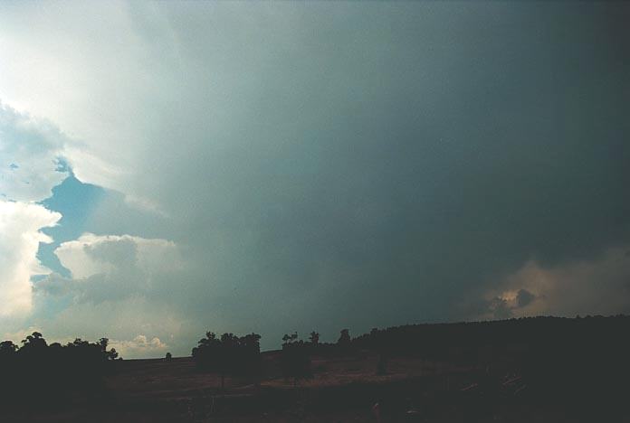
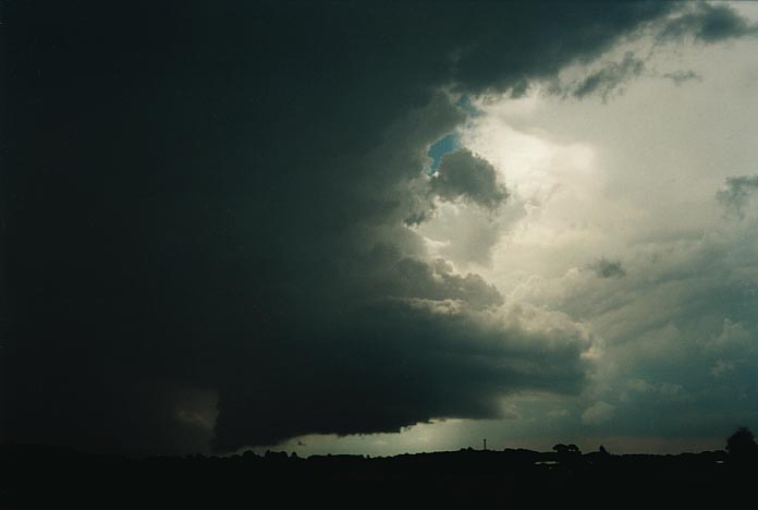
The conditions on this day were excellent for the development of supercells. A dryline setup situated particularly to the N of Sydney, what also was impressive was the cold very dry air aloft and a strong cap. The isolated storm developed during the afternoon well to the northwest of Wyong but exploded just to the W and changed its course. This became one impressive looking storm with crisp top and very impressive corkscrew updraught. The storm collapsed just as it crossed the coastline. 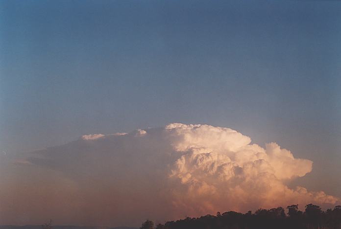 |
|
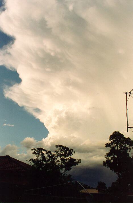
Severe Thunder- storm images of the month: October 2001
This months photos
|
After a severe thunderstorm afternoon two days earlier, the 28th March 1993 produced more thunderstorms. Earlier during
the afternoon, smaller storm cells developed with showers and lightning observed.
But during the latter part of the afternoon, a more severe thunderstorm developed
to the southwest parts of Sydney. This band of storms eventually moved on towards the Central Coast. 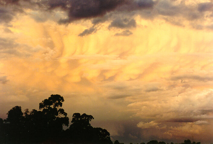 |
|
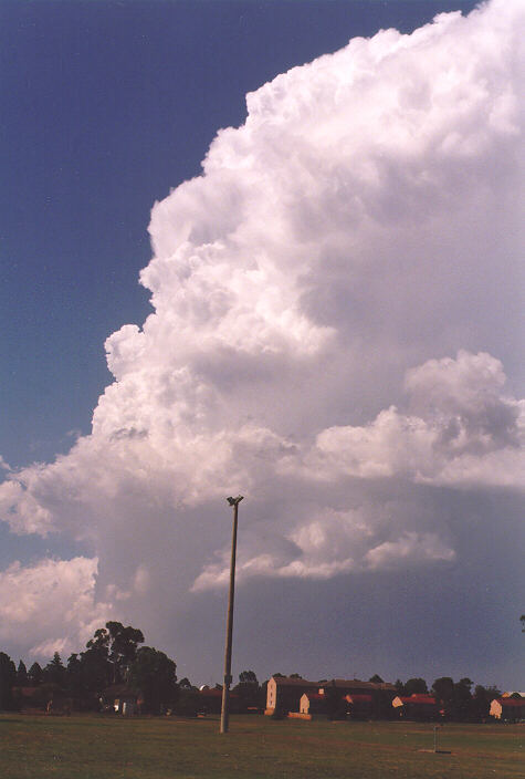
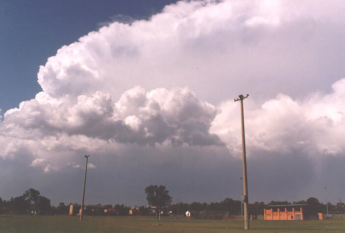
Severe Thunder- storm images of the month: September 2001 This months photos |
The 12th November
1997 started out hot and remained so during the courses of the afternoon. Some
thundery activity developed near Penrith during the early to mid-afternoon period.
 |
|
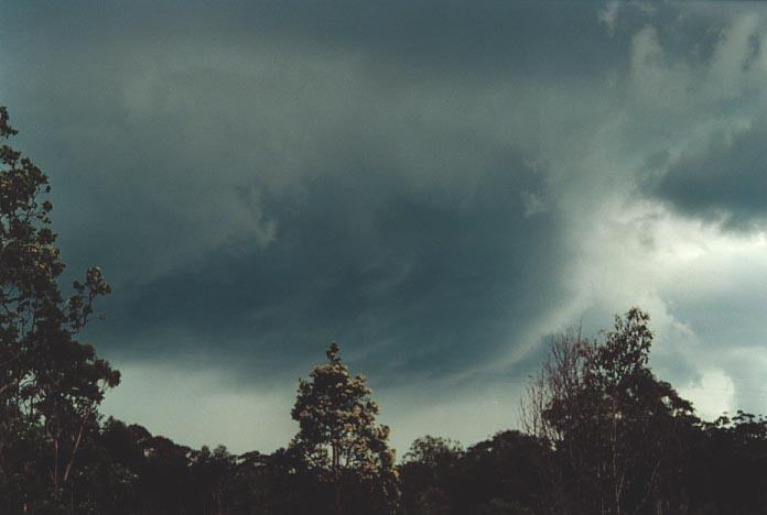
Severe Thunder- storm images of the month: August 2001 This months photos |
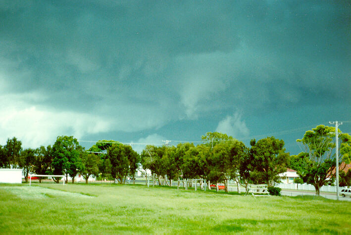
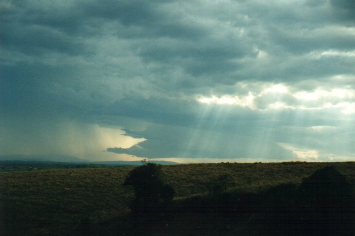
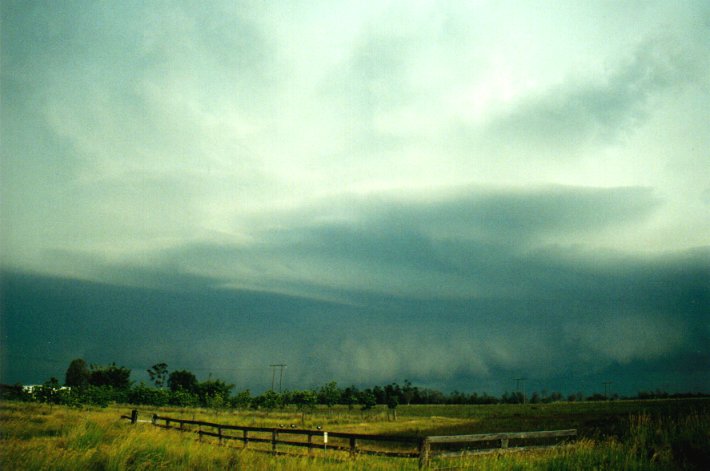
The 8th of December 2000 was the third day of a supercell outbreak. After early severe thunderstorms, another thunderstorm exploded after splitting form another storm and moved almost directly north. Soon after though it became more outflow dominant. Later that afternoon, a dryline (or trough) moved through with considerably drier air. The line of supercells moved off the coast.
But 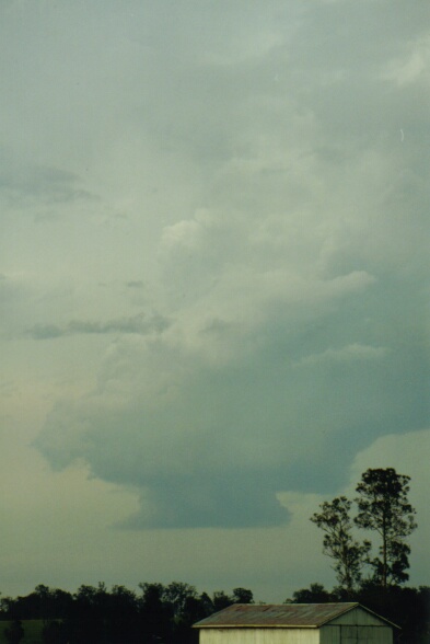
|
|
Severe Thunder- storm images of the month: July 2001 This months photos |
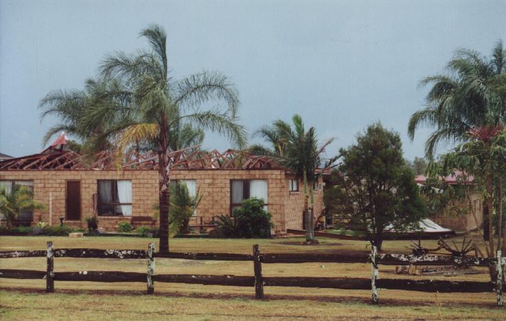
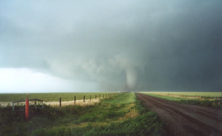
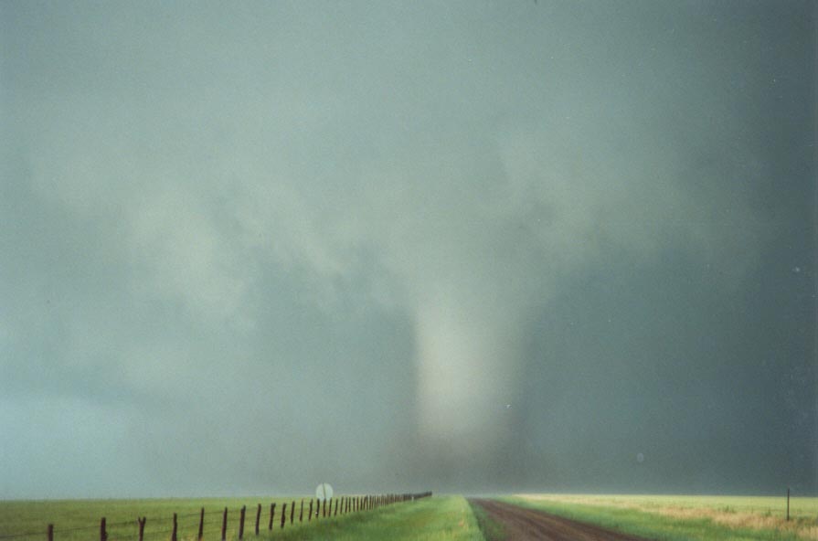
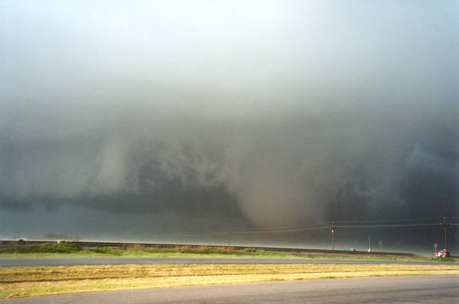
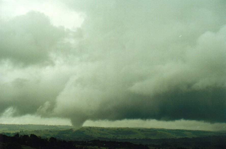
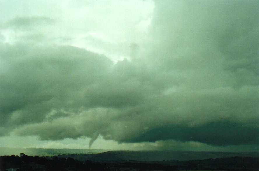
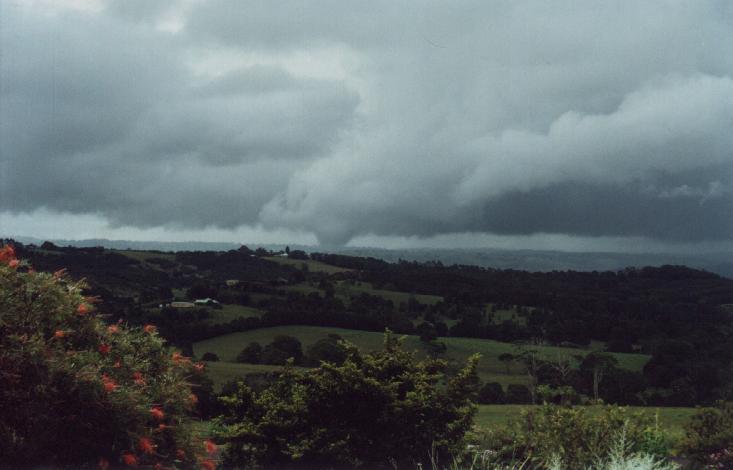
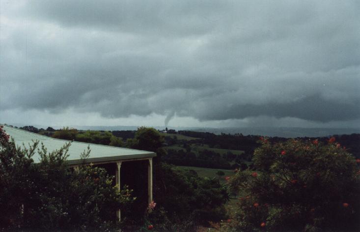
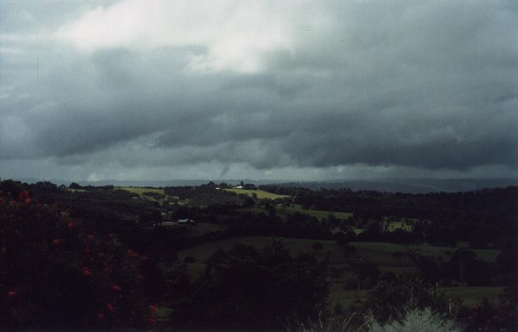
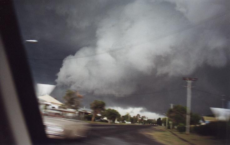
The 29th of May 2001 will be best remembered as one special day for both David Croan and myself. It was the first time we had come up close to a large tornado. This tornado (unfortunately) demolished a house and picked up three cars and threw them a couple of hundred yards. 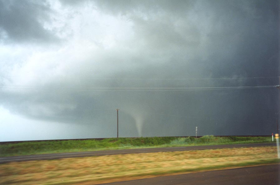
|
|
Severe Thunder- storm images of the month: June 2001 This months photos |
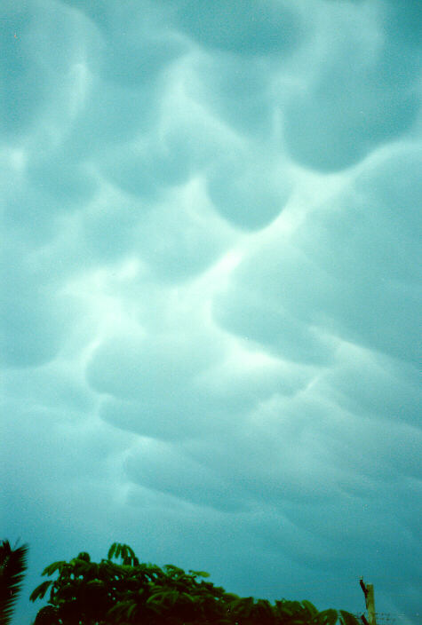
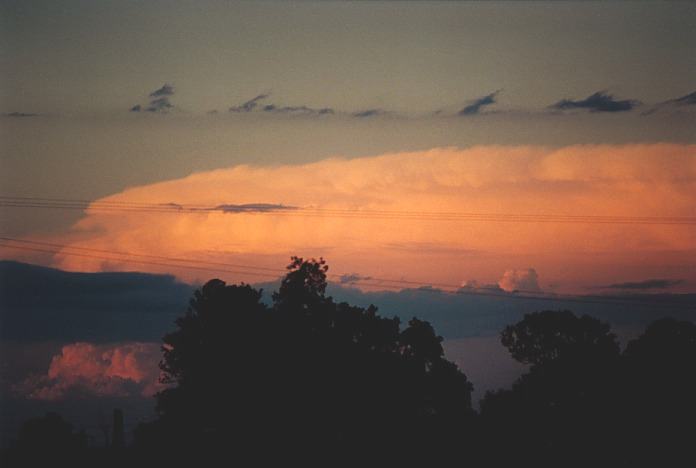
One of the first severe thunderstorms I documented on film. This occurred in Ballina on the 19th January 1989 as a north-south aligned trough pushed through the region. A lovely shelf cloud and mamatus formation arrived from the SSW.
The core of the storm passed over East Ballina and caused some wind damage there. From my view in central Ballina and looking towards the NW flank of the cell, a funnel shaped lowering occurred in the wall cloud.
|
|
Severe Thunder- storm images of the month: May 2001 This months photos |
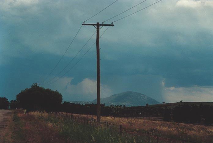
 As the day wore on, it was the coastal areas that produced most of the severe weather with a massive hailstorm destroying cars and property at Dorrigo only one of the many supercells. Michael Bath also chasing further north observed some interesting lowerings with severe storms there. And definitely, conditions were more ideal in southeast Queensland on this day.
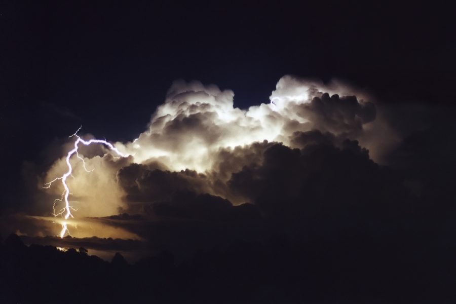 The day ended with more storms developing later during the night providing a spectacular lightning show. |
|
Severe Thunder- storm images of the month: April 2001 This months photos |
  I watched the wall cloud basically fall apart, obviously part of the weakening phase of the storm. |
|
Severe Thunder- storm images of the month: March 2001 This months photos |
 |
|
Severe Thunder- storm images of the month: February 2001 This months photos |
Michael and Dave
were in position observing a spectacular LP (low precipitation) supercell to the
north of Casino and an HP supercell to the south of Casino. But when the time
came to move, it became a nightmare trying to outrun the supercell, mainly due
to the road network. They found themselves in it. The supercell produced severe
winds in the form of microbursts, large to giant hail and extremely heavy rain.
A possible tornado also may have occurred. |
|
Severe Thunder- storm images of the month: January 2001 This months photos |
The 6th December
2000 was a special day for chasers on the Thunder Down Under Storm Chase. 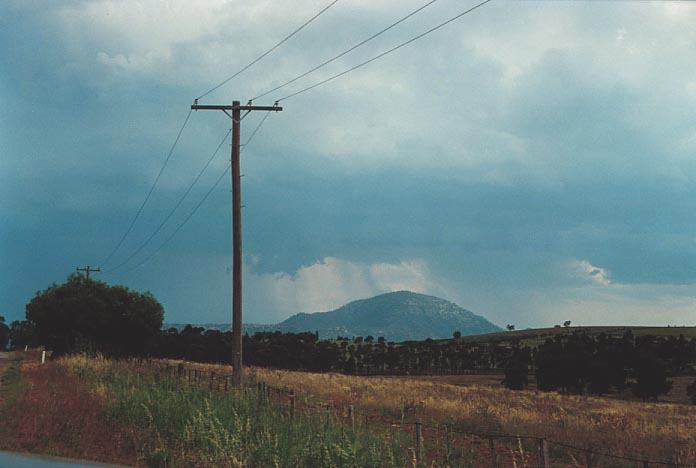
It then became
outflow dominated after having a second phase of observed rotation. |
|
Document: arc2001.htm
Updated: 31st January, 2005 |
[Australian Severe Weather index] [Copyright Notice] [Email Contacts] [Search This Site] |